Subsidence monitoring at offshore oilfields
Hydrocarbon production at offshore fields can cause seabed subsidence, potentially triggering dangerous geohazards including earthquakes and even fault slips. A long-term project with Norske Shell measuring seabed subsidence rates offshore Norway has now led to the latest, centimetric accuracy, long endurance autonomous instruments being developed and deployed, field-wide across the giant Ormen Lange gas field.
The challenge
The production of hydrocarbons at offshore fields causes a reduction in the pressure within the reservoir and therefore its ability to support the layers of rock above it. These layers are collectively named the overburden and they relentlessly push down on the reservoir sometimes causing structural instability surrounding the reservoir and deformation of the seabed into depressions known as a subsidence bowls.
The rate of seabed subsidence is of interest to geophysicists for two principal reasons:
Geohazard avoidance Because naturally occurring or production related subsidence has the potential to cause earthquakes and fault slips that can result in hydrocarbon leaks and/or damage to critical seabed infrastructure.
Geophysical interpretation To support identification of changes and minimise uncertainty in the reservoir, inform decision making by reservoir engineers and therefore help to maximize production and minimise risk.
Some offshore fields such as Ekofisk in the North Sea have subsided by several metres over their production lifetime, with average annual subsidence rates of 10-15 cm per year. However, many deep-water fields in regions such as the Gulf of Mexico and the pre-salt fields offshore Brazil exhibit much lower rates on the order of 2-5 cm per year, noting that accurate subsidence information is equally valuable to reservoir engineers operating at these fields.
In 2010, now retired Shell Geophysicist Dr Paul Hatchell set an industry challenge to develop a means to continuously measure seabed subsidence, over many years, that was sensitive enough to detect 1cm/year of vertical movement of the seabed and without breaking the bank in terms of the cost of operating a suitable monitoring solution.
The solution
Measuring subsidence rates to centimetric accuracies on land is comparatively easy using modern survey techniques such as GNSS and satellite altimetry. But radio waves from satellites do not propagate easily in seawater and therefore an alternative measurement approach was required.
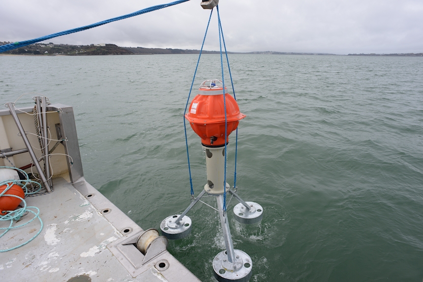
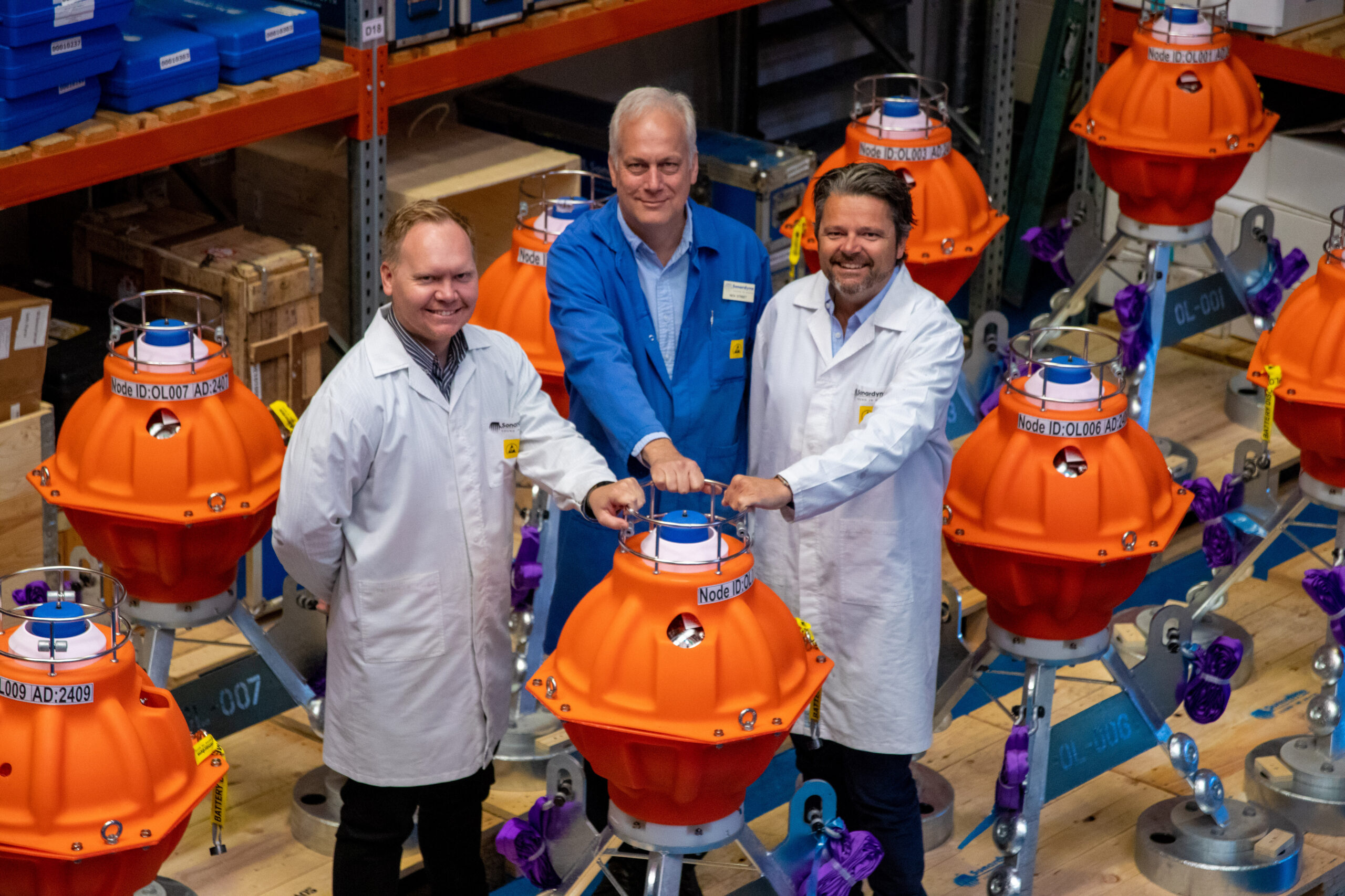
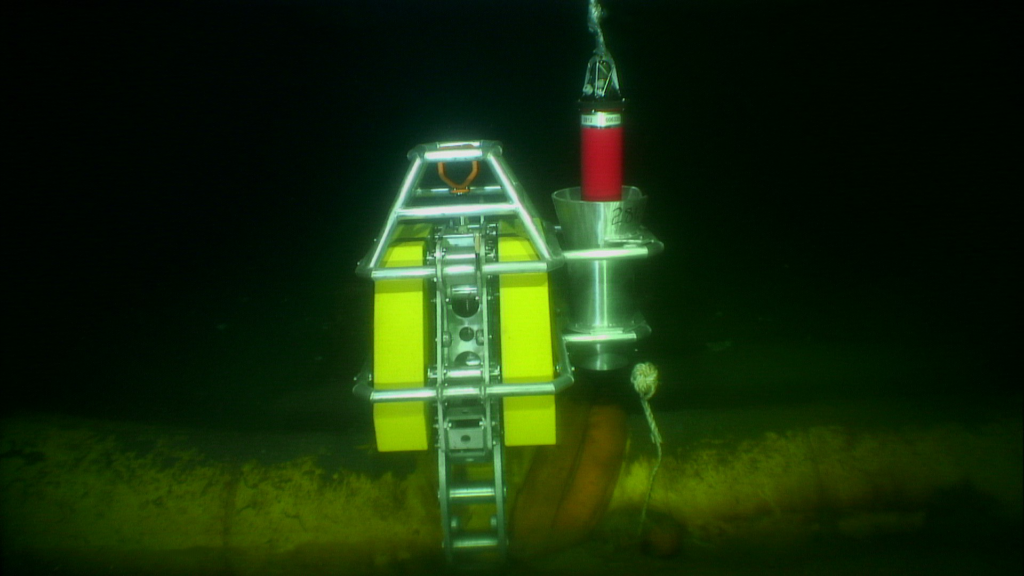
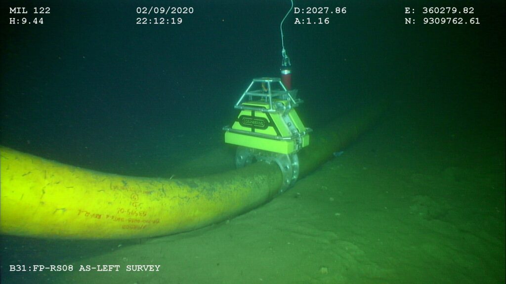
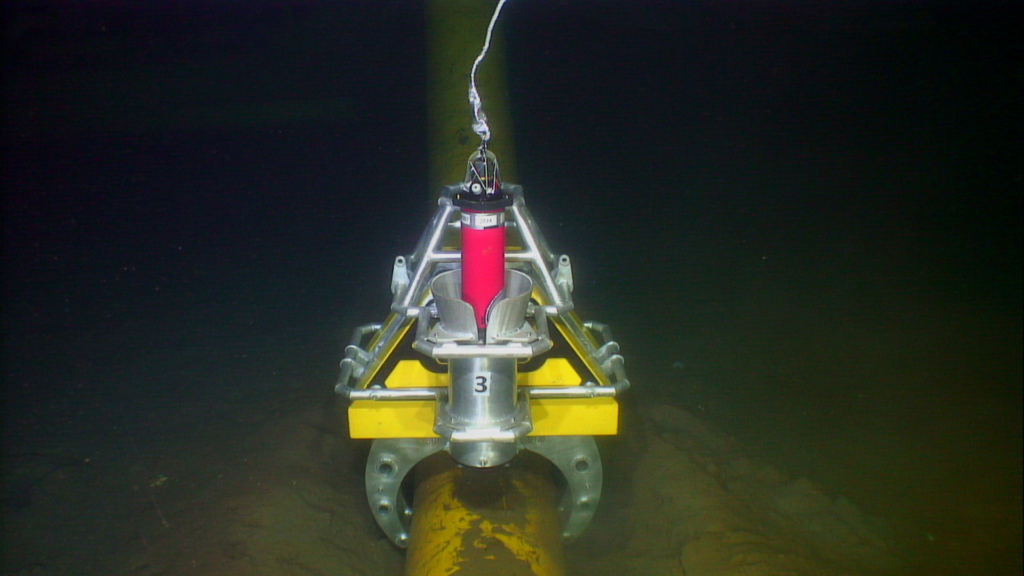
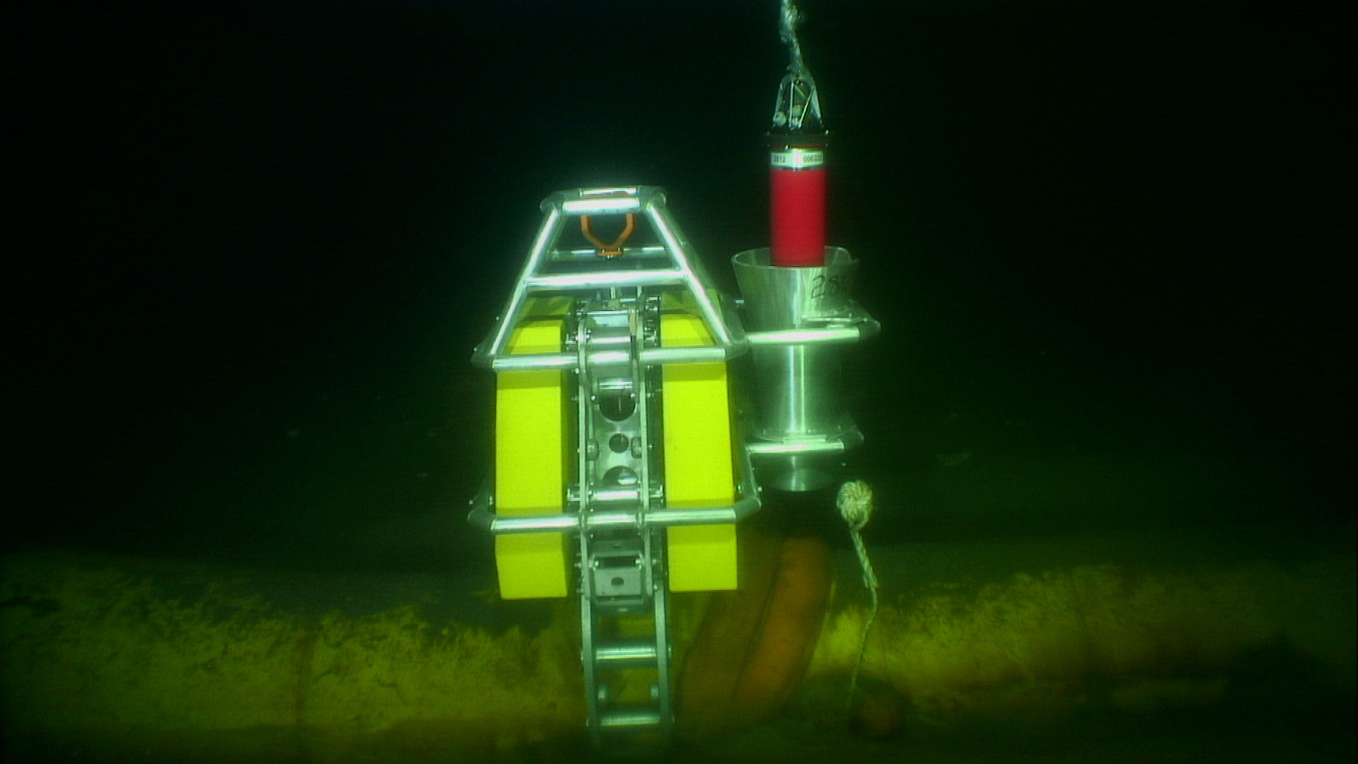
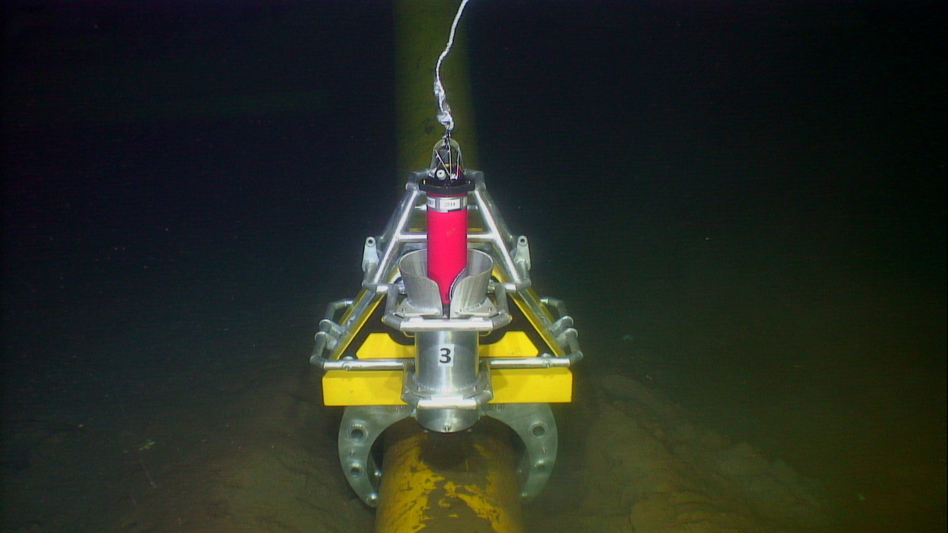
Sonardyne’s custom engineering team therefore implemented a pressure-based subsidence monitoring technique using a seabed deployed instrument called Fetch Pressure Monitoring Transponder (PMT). Each device houses highly accurate pressure sensors and data logging electronics coupled to a wireless acoustic communications modem for data telemetry and enough internal batteries to provide more than 10 years of operational life without human intervention.
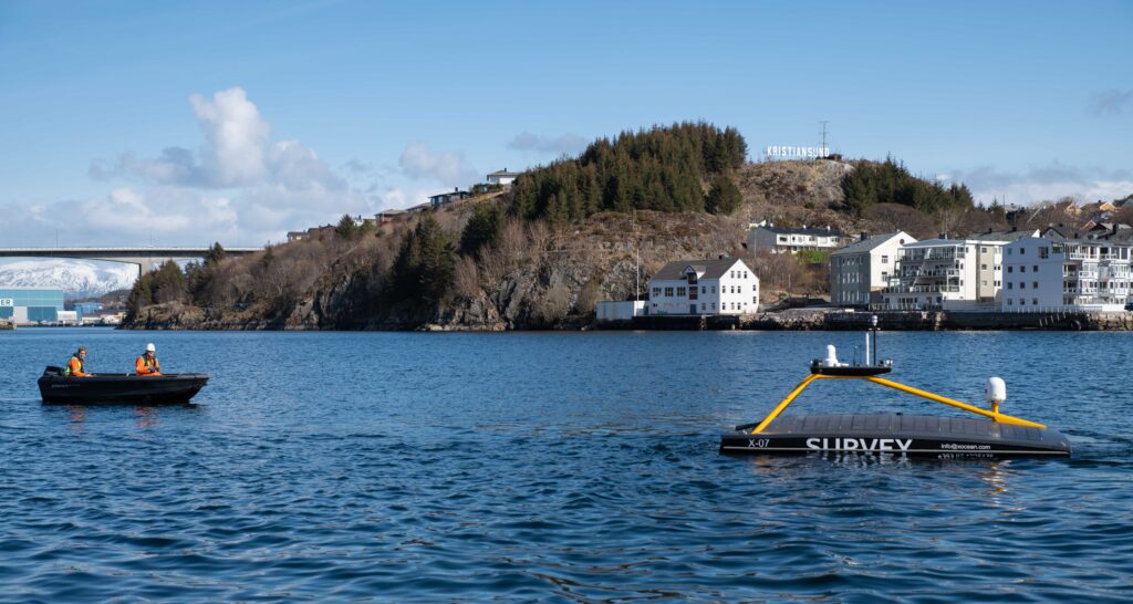
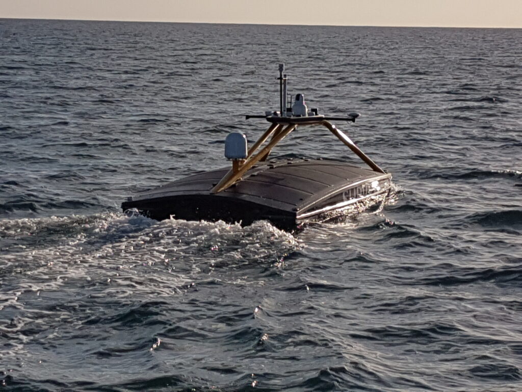
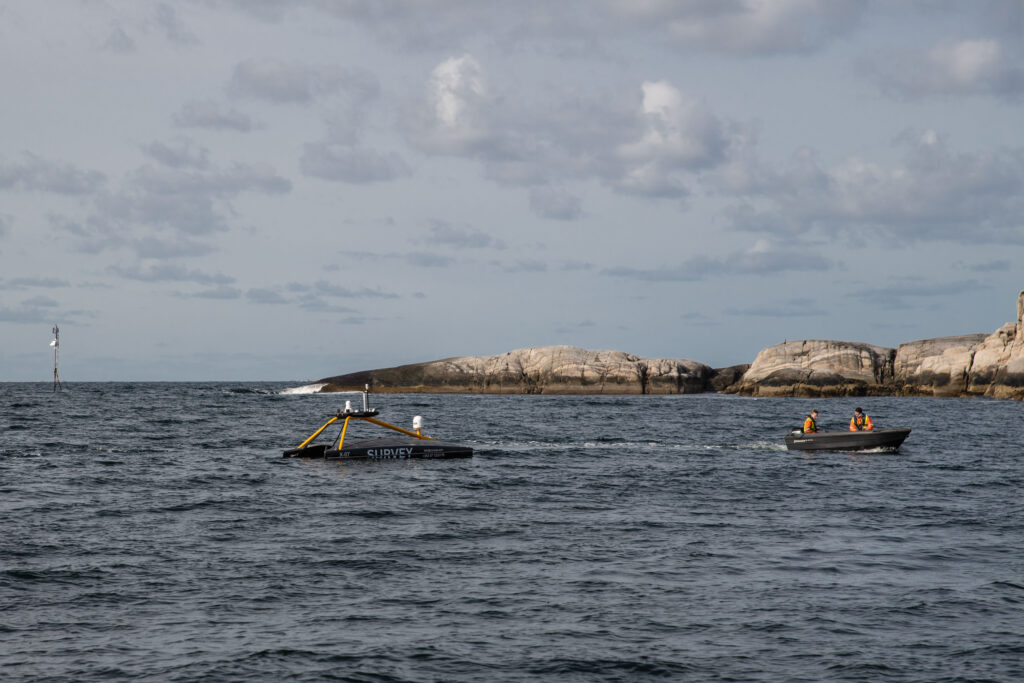
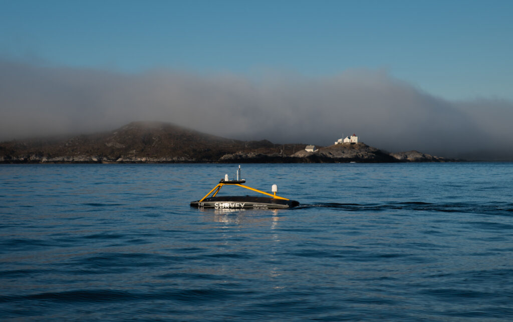
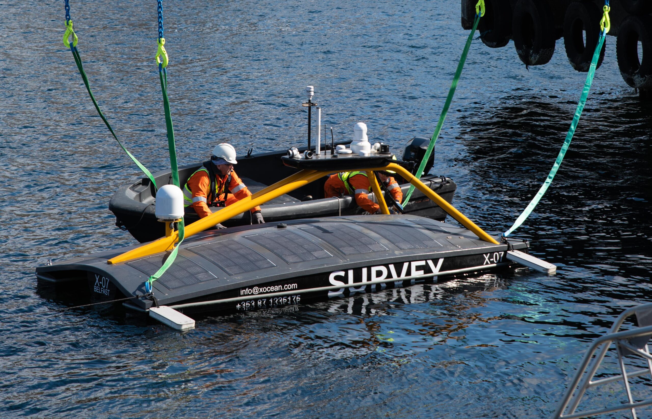
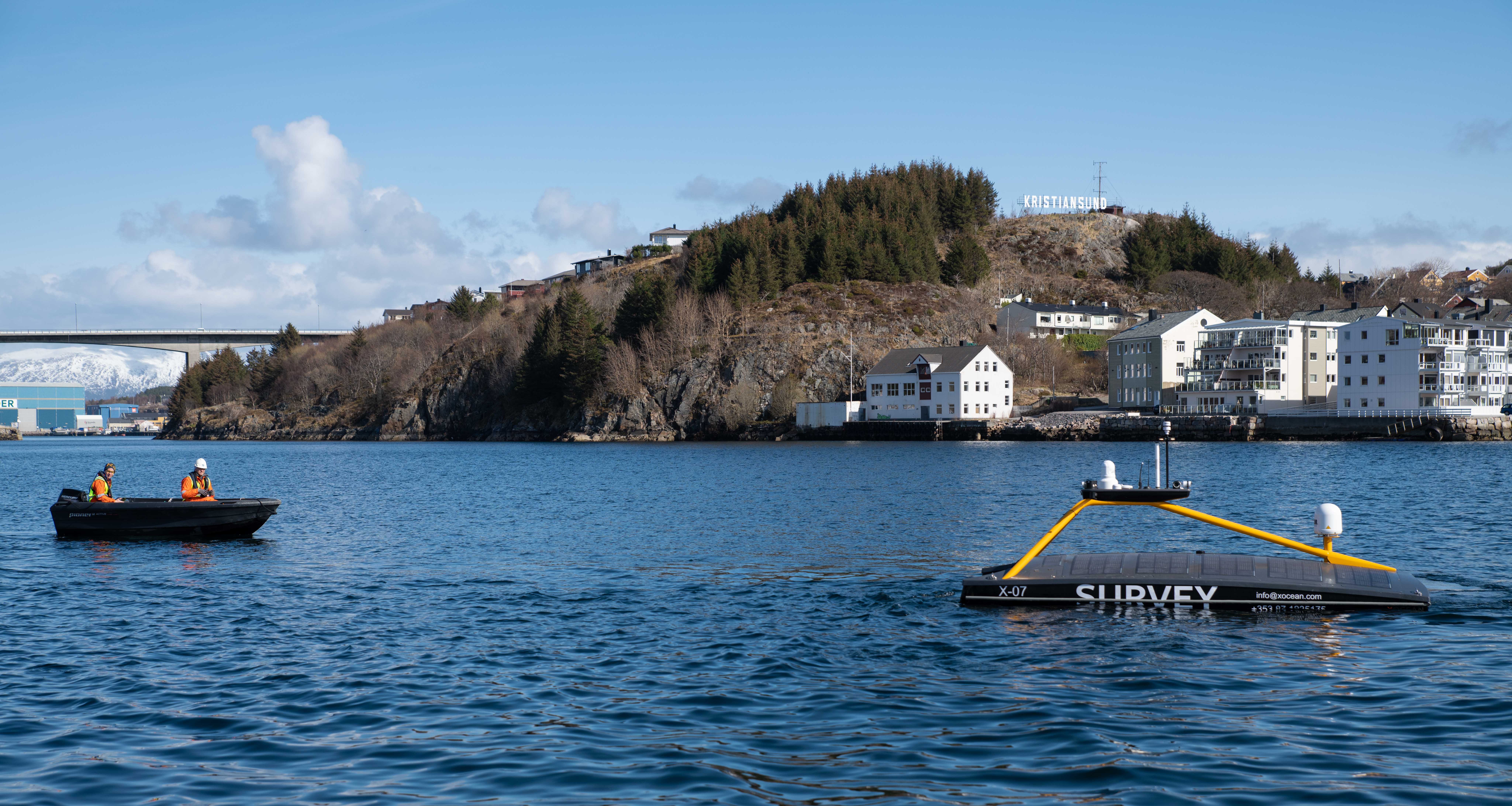
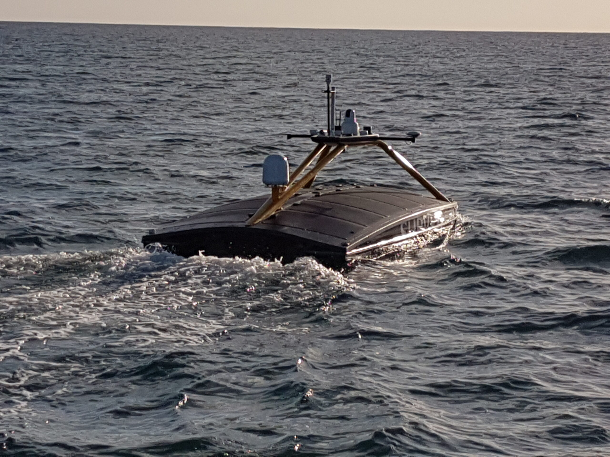
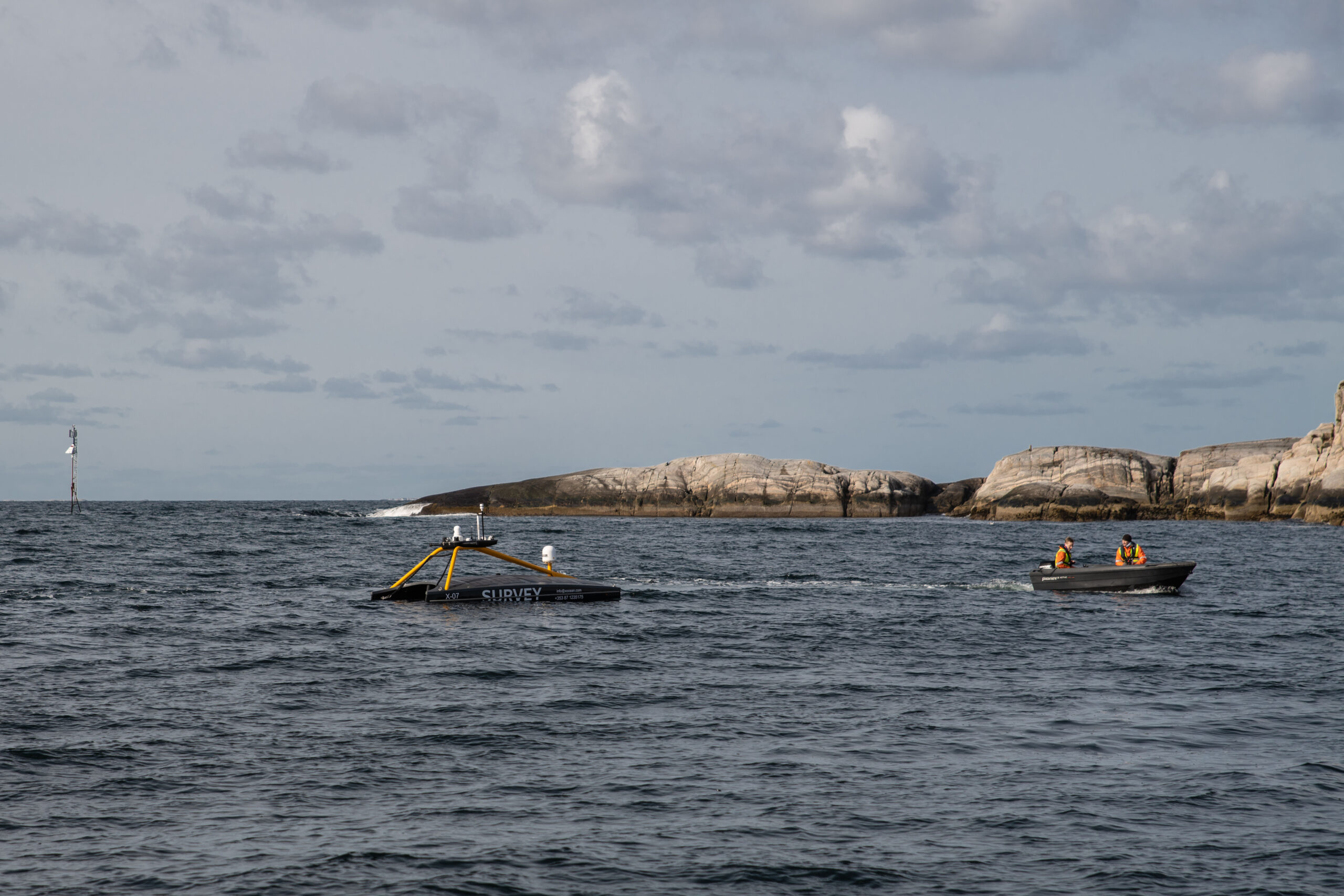
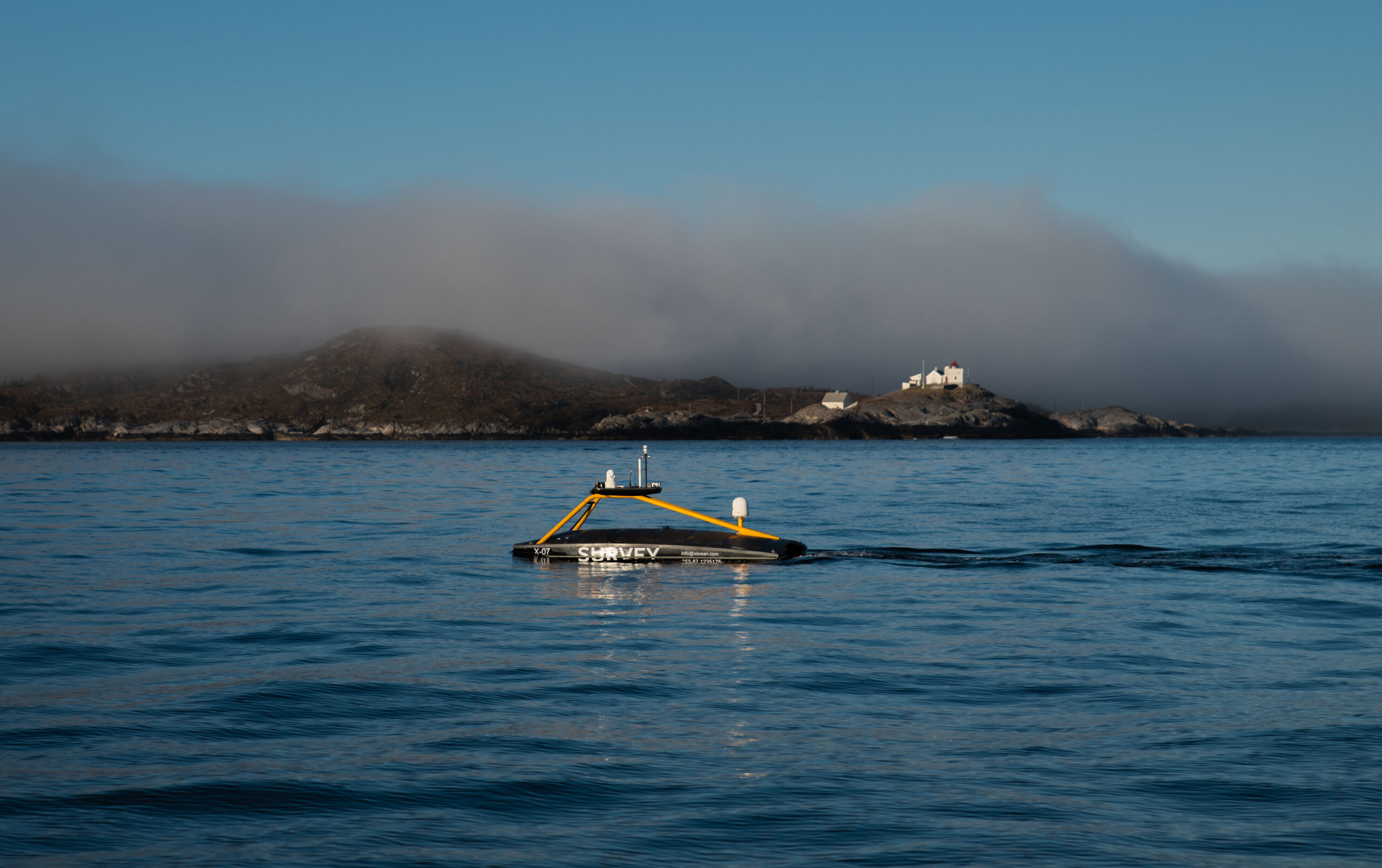
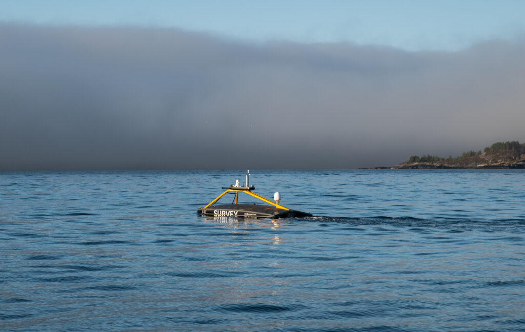
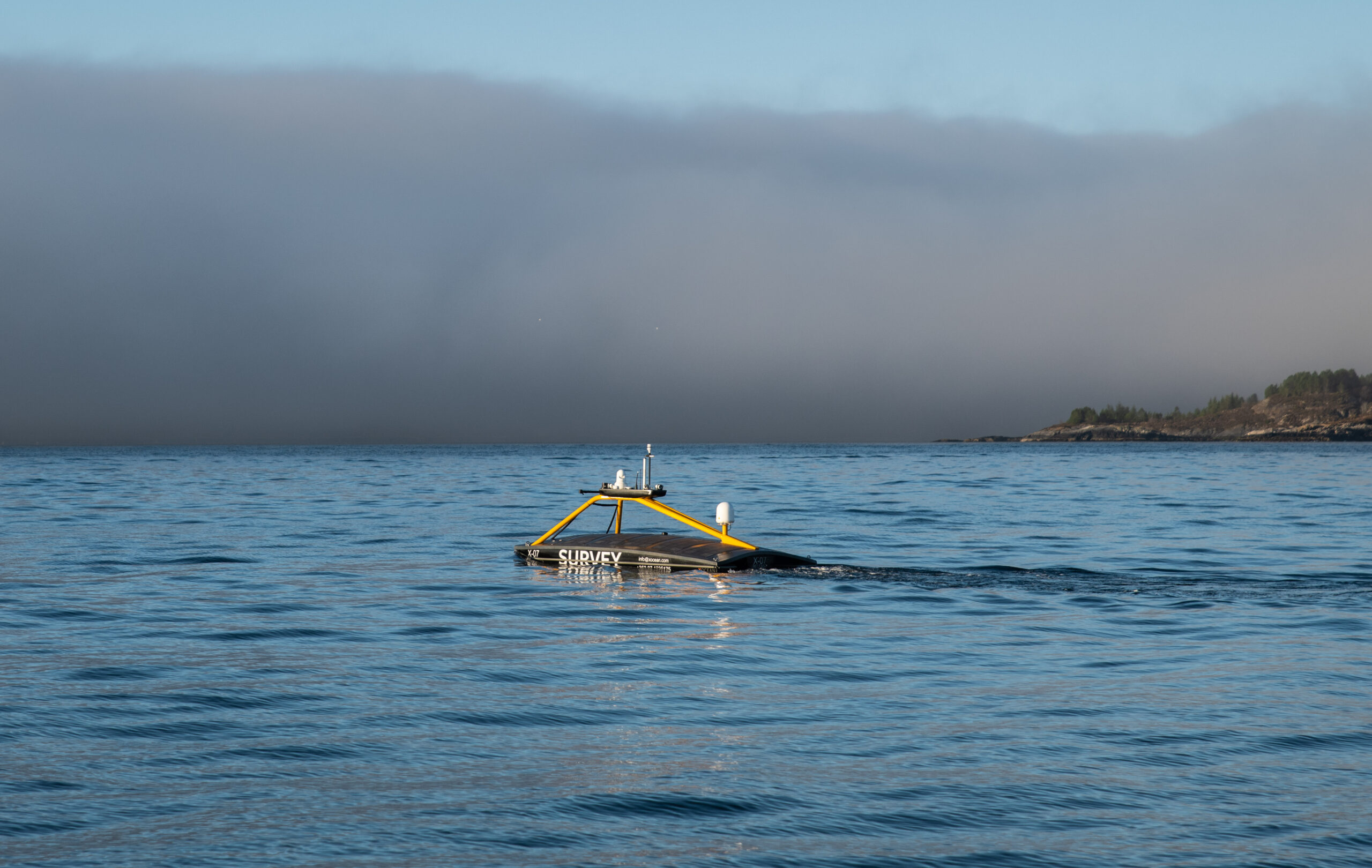
At programmable intervals ranging from minutes to hours, Fetch PMT continuously measures and records raw seabed pressure, ambient temperature, unit inclination (tilt) and sample time data which is then harvested wirelessly by periodically deploying a compatible acoustic modem from a crewed vessel or latterly from Uncrewed Surface Vehicles (USVs). The use of USVs instead of crewed vessels is rapidly becoming the norm for this operation due to the significant reduction in cost and CO2 emissions and elimination of exposure to offshore personnel.
The Fetch PMT data harvesting process can be repeated whenever the most recent data are required with typical intervals ranging from three to nine months. The resulting pressure data are converted to absolute depth and then compared with previous data to calculate the rate of seabed subsidence in cm/year.
However, it is an unfortunate truth that all marine pressure sensors suffer from drift in their output readings over time and left unchecked this drift has the potential to reduce the effectiveness by which seabed depth and subsidence rate can be monitored. To address performance this issue, Sonardyne have employed three interrelated techniques:
We routinely pre-screen and measure the drift rates of all pressure sensors over a few months prior to deployment. Any poorly performing sensors are rejected and the resulting seabed pressure data from selected sensors is adjusted to compensate for the known drift signal.
We have developed a patented method of recalibration of the pressure sensors on the seabed using a technique called Ambient-Zero-Ambient (AZA) which is incorporated into our Fetch AZA PMT instrument. This instrument enables regular in-situ drift measurement and removal without recovery of the unit.
We can measure the absolute 3D position of each Fetch PMT unit on the seafloor using a USV based acoustic ranging process called GPS Acoustic Box-in (GPS-A) and can use this information to periodically calibrate the pressure sensor data.
Each of these techniques supports pressure sensor drift removal and therefore an increase to the sensitivity of the subsidence monitoring system towards the golden target of 1cm per year.
The results
High accuracy (circa 1cm/year) continuous seabed subsidence monitoring is now an industry recognized technique for offshore hydrocarbon production.
Several discrete subsidence events (sudden changes in depth) have been detected by the instruments used and this has provided geohazard information which has proven to be extremely useful to reservoir engineers who are tasked with determining the nature and potential causes of these events. Geophysicists also routinely use the information generated to reduce uncertainty in their reservoir models and to aid their decision-making processes as part of proactive reservoir management programmes.
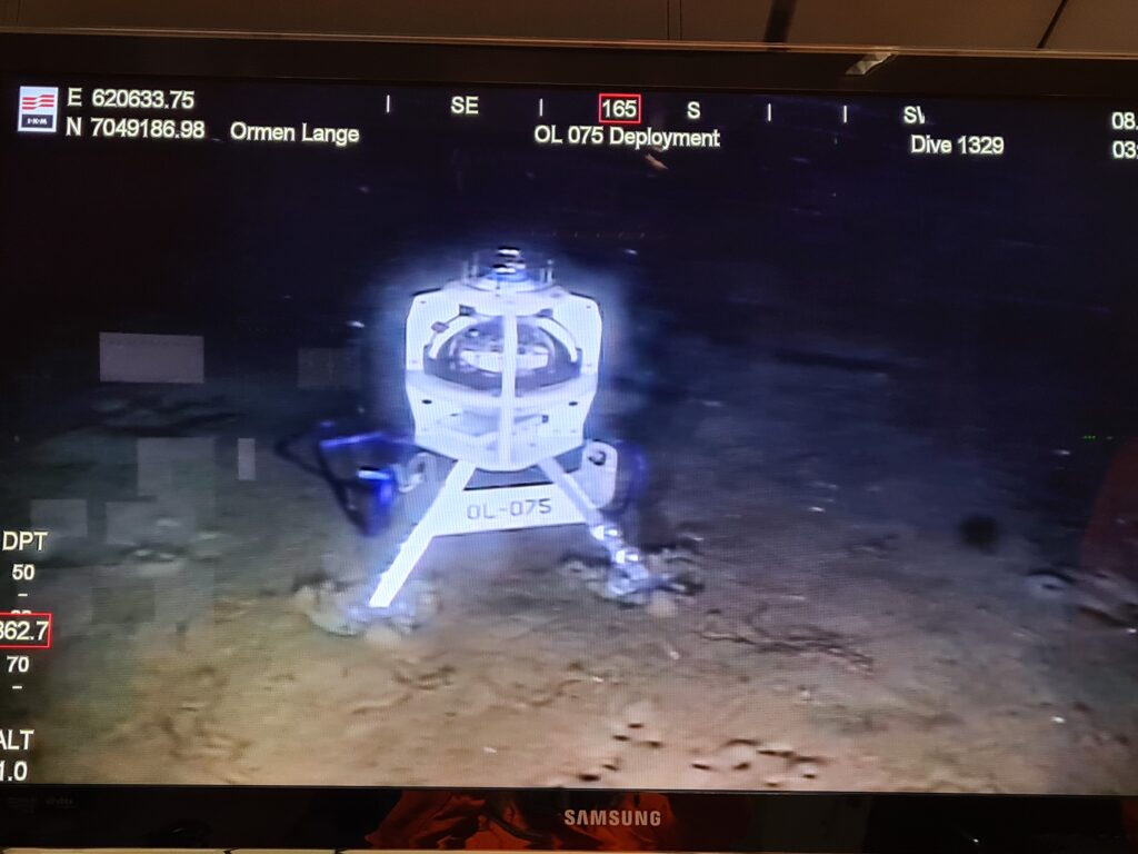
Over the past 15 years, these systems have been deployed many times, starting with early trials at the Norske Shell operated Ormen Lange gas field in 2007, and then field-wide deployments of Fetch PMT and AZA PMT instruments across the globe including in the North Sea, Gulf of Mexico, Norwegian Sea and offshore Malaysia.
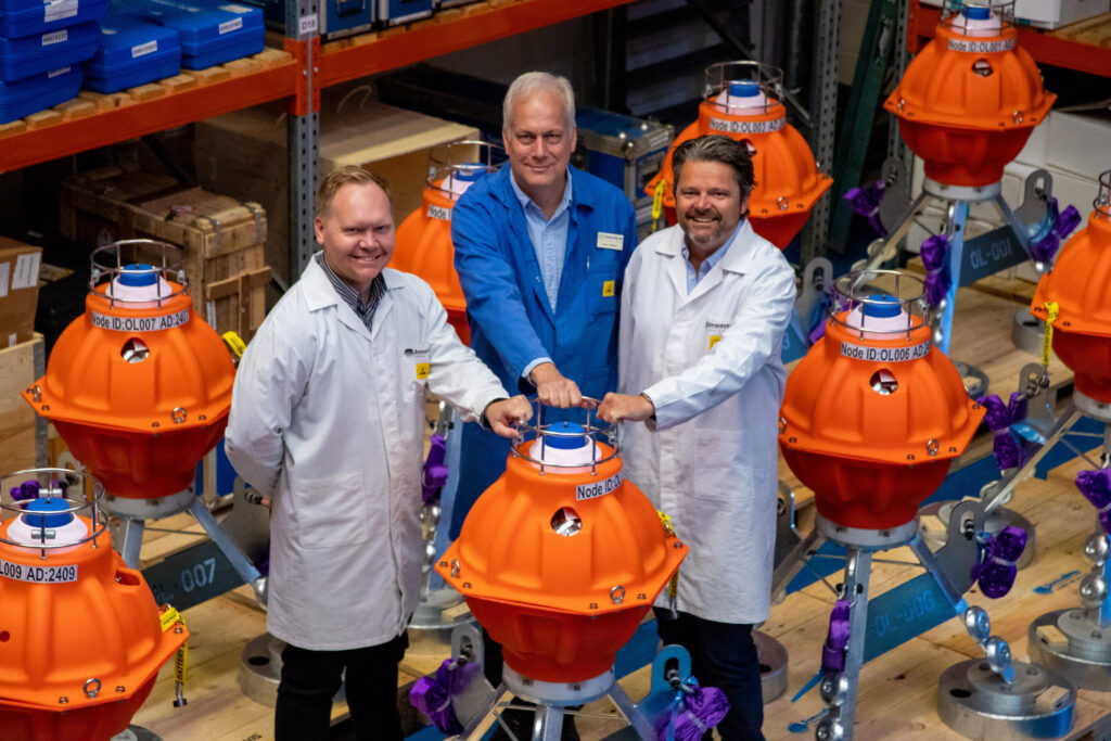
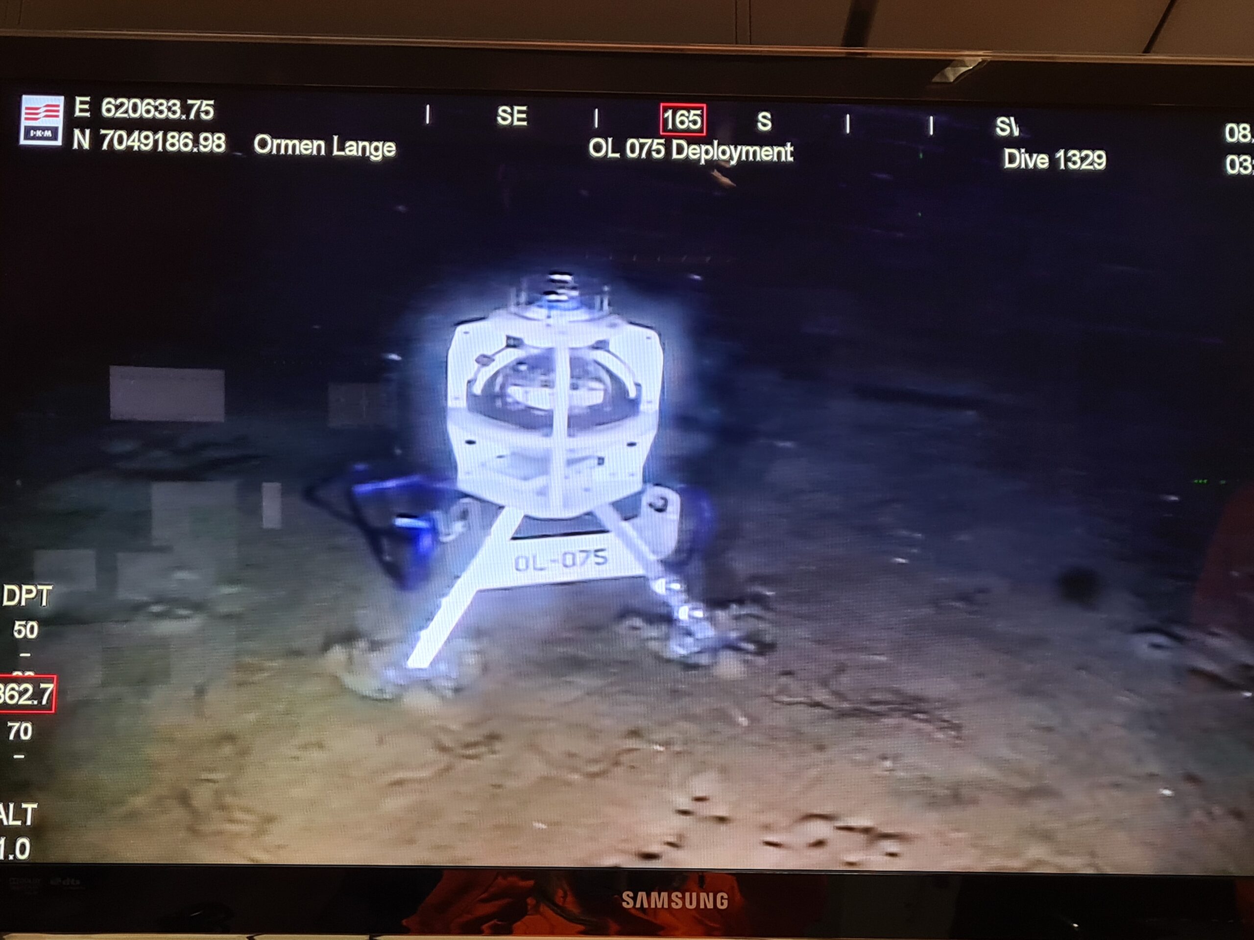
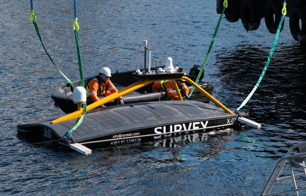
The latest deployment at Ormen Lange saw a total of 75 instruments deployed in two phases between September 2019 and October 2020 and these units continue to provide Norske Shell with invaluable subsidence monitoring data from this field, via crewed vessel and remote data harvesting missions conducted using an XOcean USV.
Costs, CO2 emissions and human offshore exposure traditionally associated with gathering oceanographic information have also been reduced by the routine use of USVs instead of ships to collect the data from the seabed wirelessly.
The technology has also been successfully transferred into Ocean Science applications for monitoring plate tectonics, subduction zones and the submerged sides of large volcanoes that, if they break free, can cause catastrophic Tsunamis.
As a result of our efforts to unlock the secrets of our restless sea floor, Sonardyne was recently awarded the 2021 Queens Award for Enterprise in Innovation, the highest award a UK business can receive.
Keeping production flowing by understanding subsea asset movement – wirelessly
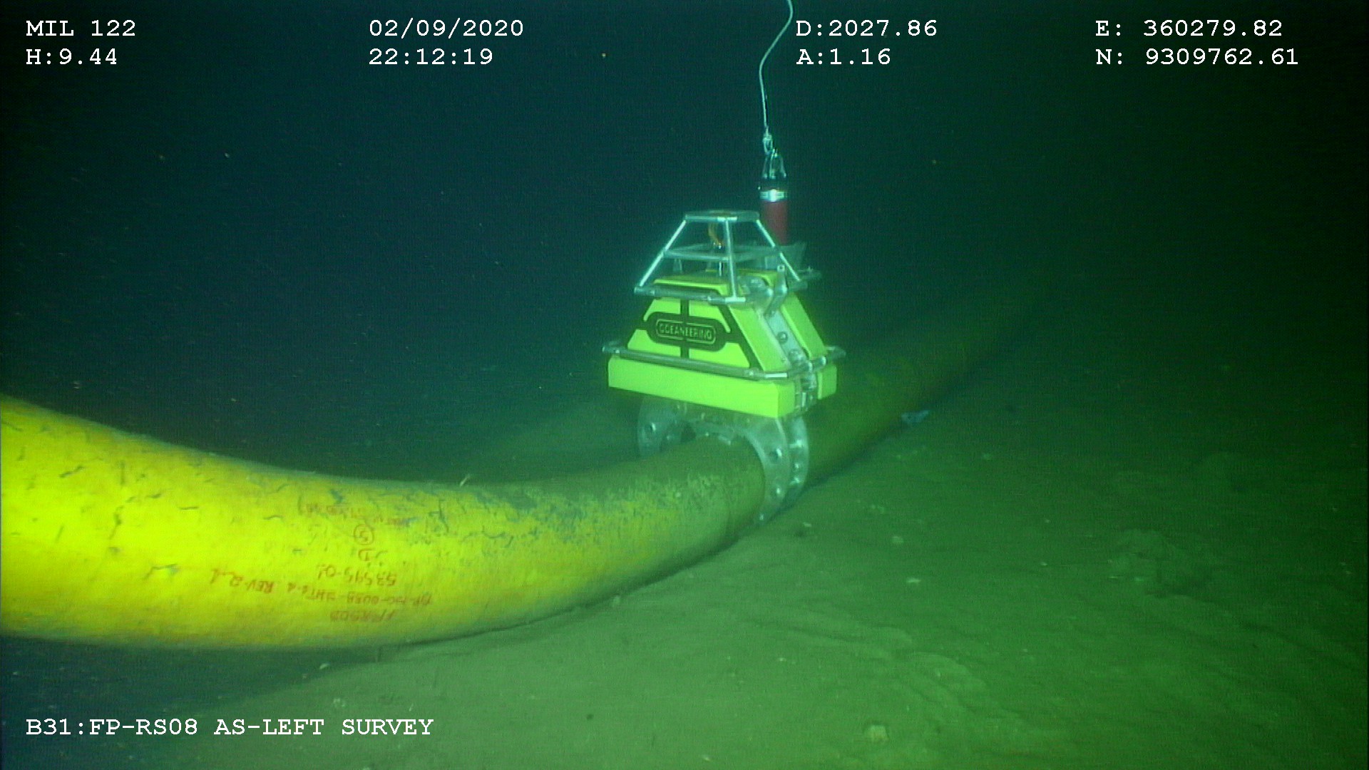
An important feature of extending, or even preserving, offshore life of field is to know and understand what is happening with deployed subsea assets. Are they vibrating, perhaps they are slowly walking from their original position, is this happening as a one-off or regularly due to flowline properties? Oceaneering learnt all of this by deploying smart and intelligent sensors at a deep-water development offshore Africa.
The challenge
The worldwide quantity of flowlines, spool pieces, pipeline end termination units, risers and all manner of other installed subsea assets is staggering. All serve as important interconnecting elements in the overall offshore hydrocarbon supply chain. With an aging asset portfolio, it is sometimes very difficult to understand how these assets have been moving during their operational life and what this means to their accumulated fatigue figures and, therefore, safe end-of-life point.
At one offshore field development, Oceaneering, was set a challenge by an international operator. They suspected spool piece movement caused by slugging events, and asked Oceaneering Inc. to provide subsea data for third party analysis so the extent and frequency of movement could be determined. They hoped this would help with the introduction of mitigation measures that would ensure safe and controlled production from the connected producing wells.
With the field located in over 1,000 m of water and with no designed-in points for sensor mounting or hardwired connectivity, this was easier said than done.
The solution
Oceaneering turned to our wirelessly communicating and intelligent monitoring sensors called Subsea Monitoring, Analysis and Report Technology, or SMART for short. Additionally, a series of Autonomous Monitoring Transponders, or AMTs, were deployed within a seabed array to detect any longer period movement that SMARTs would be unable to detect.
Battery operated SMARTs were chosen as they incorporate a low-power inertial measurement unit, or IMU, that can precisely measure the installed sensor’s six degrees of freedom. This means that 3-axes of rotation and 3-axes of acceleration relating to the SMART sensor’s movement can be measured at very high sampling rates over a measurement window set by the operator.
This measurement window, which can be adjusted acoustically at any time from a topside transceiver, can be set between a minimum period of approximately 5 minutes to continuous recording. However, a one-hour measurement window is far more commonplace.
Once the measurement window has ended, SMARTs analyse the recorded raw data, producing and storing one statistical summary file for each window period. When required, these summary files can be requested for wireless transmission through the water column from each SMART’s location to a topside transceiver using Sonardyne’s fast and robust 6G Wideband 2 acoustic protocol on the Dunker 6 LBL and telemetry transceiver.
Importantly for the operator, all SMART raw, time-series, data is securely recorded and saved in-situ for more detailed analysis post-recovery.
Through the combination of edge analytics, low power electronics and acoustic communications, SMARTs could be installed for over a year. Even longer deployments are achievable by supplying larger battery packs or reducing the sampling frequency.
SMARTs are designed for high frequency motion monitoring, but the operator was equally concerned that longer periods of motion were in play that may have caused the subsea asset to gradually move from its installed position. Thus, monitoring for possible flow induced vibration (FIV) and vortex induced vibration (VIV) was also required. To monitor this motion, Oceaneering Inc. chose another Sonardyne sensor called an AMT.
AMTs are used for long-term survey and monitoring applications where instruments are needed to acquire acoustic ranges and other sensor data, like pressure, temperature, and sound velocities, without any surface control. By creating a Long Base Line (LBL) array of static seabed located AMTs with an AMT on the asset needing to be monitored, highly accurate measurements of any horizontal movement of the monitored asset can be measured, accurately timestamped, and logged. Vertical movement of the asset-mounted AMT can also be determined by the recording of precise pressure sensor information and comparing it to those from the control array.
An additional benefit identified by Oceaneering is that data from the AMTs can be wirelessly recovered using the same topside hardware as that of the SMART, resulting in less topside subsystems.
The results
Oceaneering mobilised the equipment in 2018 and it has been in operation ever since. The performance of the SMARTs in determining motion characteristics, coupled with the motion mitigation measures that were introduced, enabled the operator to continue producing safely and within the design life of the installed spool pieces. What’s more, the operator now has a far better understanding of their accumulated fatigue figures for the spool pieces and is able to determine the safe end-of-life point for their subsea assets.
Remote advances; operational advantages
A joint operation between Sonardyne and Subsea 7 has helped to de-risk technology adoption on BP’s Mad Dog Phase 2 development by allowing 24-hour remote access to offshore survey systems for onshore staff, de-risking the use of new technology, reducing project overheads, and paving the way for new ways of working in the future.
The challenge
There’s more desire than ever to be smarter and more efficient, to reduce vessel days, improve safety performance and lessen environmental footprints – all without losing performance, accuracy, reliability or downtime. Sonardyne has been working with Subsea 7 on reducing hardware requirements and vessel time in survey operations, including through the adoption of sparse Long BaseLine (LBL) navigation.
The latest step-change has been through the roll-out of Sonardyne’s Fusion 2 software, alongside the adaptation of new embedded calibration routines. By combining inertial navigation (INS) and LBL into a single system, Fusion 2 took away much of the interface complexity that had been involved in sparse LBL operations (using separate INS and LBL systems), reduced hardware overheads, and enabled whole work flows to be removed, through the ability to perform real-time simultaneous location and mapping (SLAM) calibration of sparse arrays without any need for post-processing.
SLAM
Simultaneous location and mapping
Sonardyne surveyors offer
24/7
support
The solution
During construction operations, at BP’s Mad Dog Phase 2 development in the deep water Gulf of Mexico, mobilising Fusion 2 trained surveyors to the right place at the right time had posed a challenge, due to global travel and working restrictions imposed by the coronavirus pandemic. To ensure continuity of operations across multiple vessels and offshore campaigns, Sonardyne’s Zoom and Microsoft Teams-based remote training was utilised to convert Fusion 1 trained surveyors to Fusion 2, which can be done in just one day or tailored to requirements.
In a first for both companies, Sonardyne then supplied its new Remote Operations Access Module (ROAM) giving its survey experts 24-hour remote access to Subsea 7’s onboard Sonardyne systems. ROAM provides an interface between the vessel’s Fusion 2 systems and communications systems (i.e. satellite or 4G) so that a Sonardyne surveyor can securely dial in, using a secure Portal and Virtual Network Computing (VNC) connection to support operations as if he or she were on board.
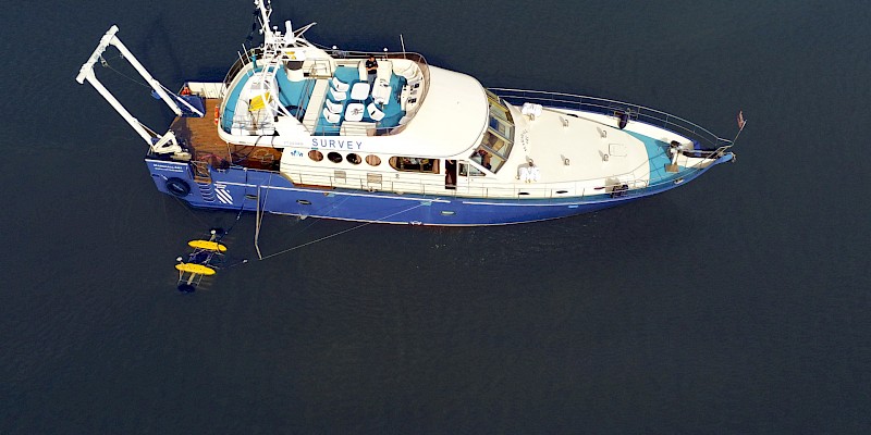
In this first project using ROAM, Sonardyne Surveyors in the UK were able to update firmware and software and provide a planned 24/7 operational service during SLAM calibration operations.
The combination of remote training and virtual support de-risked the continued adoption of Fusion 2, and Sonardyne’s remote service provided the assurance to continue with Fusion 2 and sparse LBL operations, avoiding the need to revert to full LBL and the extra equipment and inefficiencies that would bring. The ROAM system was supported by Subsea 7 survey personnel based in Aberdeen and Houston who worked to ensure efficient onboard integration.
Of course, it’s a learning process, part of which is being able to replicate the experience of being on board – where it’s easier for an experienced surveyor to see immediately what equipment there is and how it can be best deployed. This brings challenges – such as bringing on new surveyors and making sure they get the experience they need. “These are challenges that need to be and will be addressed as we move to a more digitally enabled future where remote operation become more the norm,” says Moller, “or even where operations are conducted using unmanned surface vessels.
Fusion 2 is a step towards this and there are more ways that, through ROAM, Sonardyne can help offshore clients directly – remotely – on planned operations. For example, rather than having a VNC connection, lower bandwidth connections could be used via the ROAM interface to a slave system onshore and having a digital twin running onshore where you can change settings, send these configurations offshore and then monitor operations; this is all on the Fusion 2 development roadmap.”
The results
Philip Banks, Survey Operations Manager for Global Projects at Subsea 7 added, “The mitigation of the risks for new technologies is a key gate to pass through. This allowed us to develop a roadmap to demonstrate the level of development or support required for its use, including management of any change. “Mad Dog 2 installation activities will span three years with managing changes in vessels and operational plans. The adaptation and evolution of Fusion 2 into both a cost saving and now remote support and operations platform has been a key driver in classifying it as a field-proven system for the wider business.”
Optimising shallow water positioning for combined magnetometer and hydrographic surveys
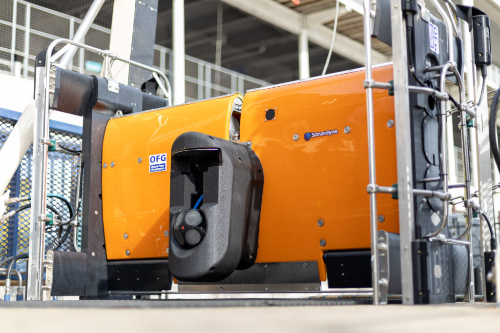
Seabed surveys are now on the critical path towards meeting global renewable energy generation targets. That’s why Ocean Floor Geophysics are working on ways to improve how pipelines and cables are detected and monitored. Our positioning and navigation technologies were used to support a demonstration of their Hypermag gradiometer with Covelya Group company EIVA.
The Challenge
Detecting cables or pipelines on the seabed and checking or monitoring cable depth are essential requirements in the development and management of most offshore energy projects. With a global target of 80 GW of offshore wind to be built annually by 2030, these tasks are also now on the critical path.
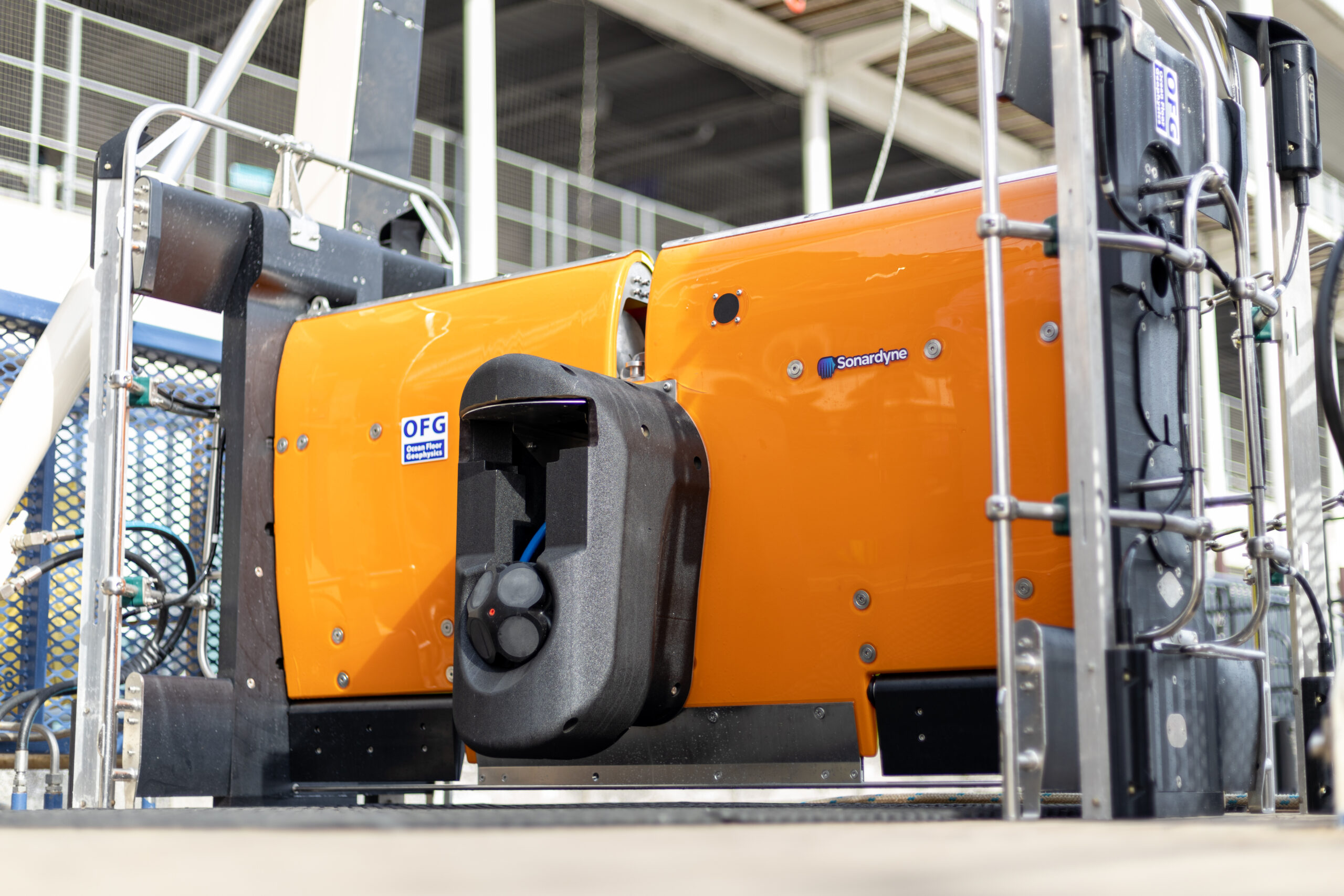
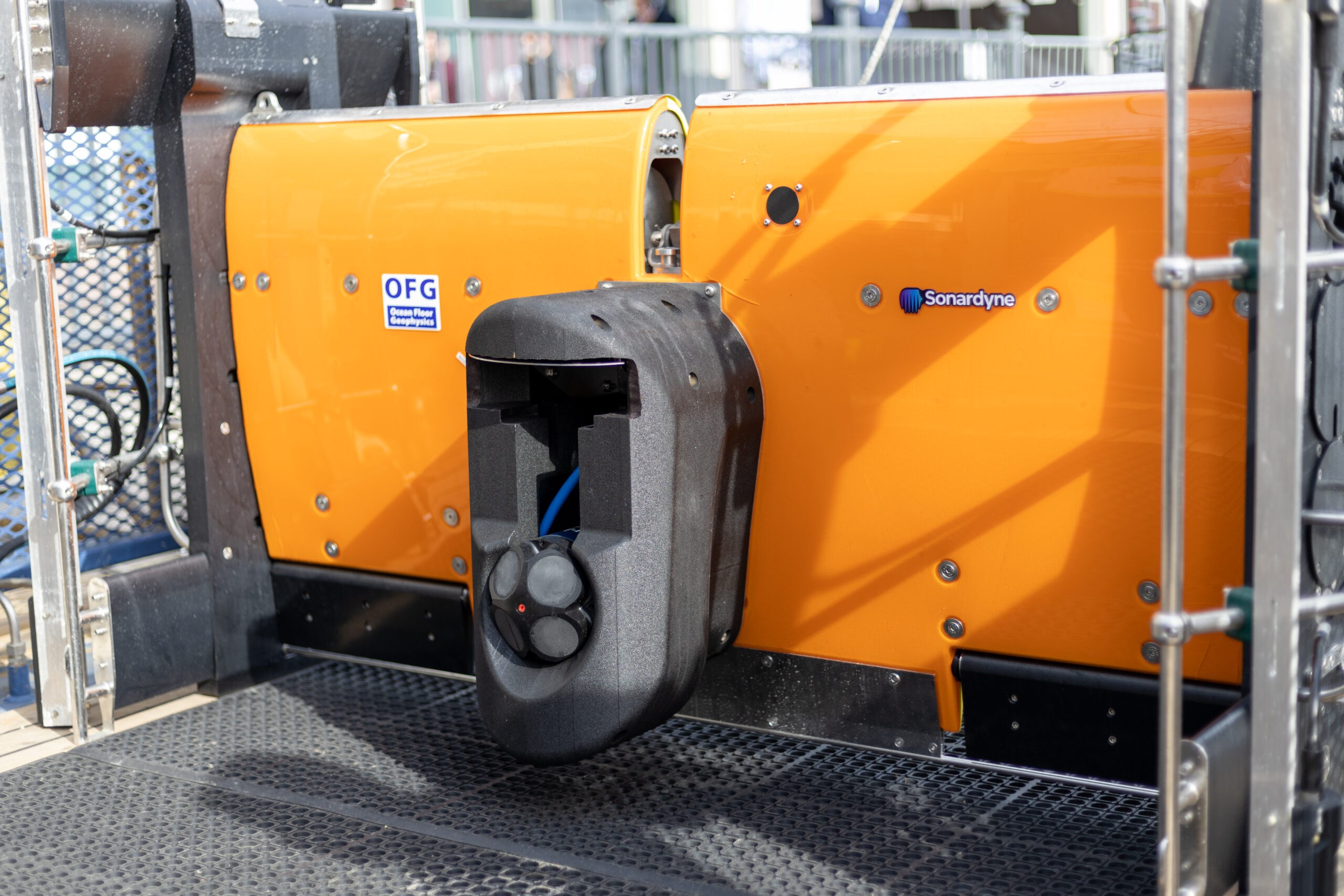
Magnetometers or gradiometers (comprising an in-line array of magnetometers) are a key tool for these operations. Accurately knowing the position of these instruments in the water throughout a survey ensures that target detection resolution is as high as possible. So, Canada-based Ocean Floor Geophysics’ (OFG) has developed the Hypermag gradiometer.
Rather than towing a magnetometer or gradiometer from a vessel or ROV, OFG’s Hypermag has been designed with multiple vector magnetometers installed in a scalable array that can be integrated directly onto a remotely operated towed vehicle (ROTV), such as EIVA’s ScanFish. This removes any positional uncertainties seen when using a layback offset when towing a magnetic sensor. The multi-vector gradiometer could then acquire compensated magnetic data in real-time
OFG possesses advanced multiphysics capability, particularly in fusing acoustic data with magnetic and electromagnetic field data, in this case magnetic field interpretation across multiple three-vector sensors. The team, therefore, required optimum shallow water positioning of the ROTV to demonstrate the gradiometer at its highest capability. “A high-quality, accurate navigation solution is a key component in achieving the full potential from our next generation of magnetic vector gradiometer sensors,” says OFG CEO Matthew Kowalczyk. “In shallow water environments, such as near-shore windfarms and UXO survey sites, it can also be one of the most difficult datasets to produce.”
The solution
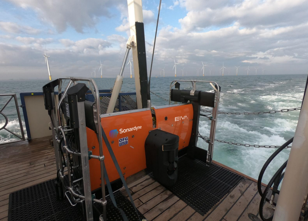
Covelya Group companies EIVA and Sonardyne supported a demonstration of the Hypermag in the vicinity of a wind farm in the North Sea. EIVA provided ScanFish support, including integration of the Hypermag configuration, a Norbit multibeam and a NaviPac software solution. Sonardyne provided a SPRINT-Nav Mini INS system alongside Ranger 2 equipped with a Gyro USBL transceiver, providing OFG with comprehensive position and behaviour accuracy of the ScanFish platform and it’s offset Hypermag sensors.
The SPRINT-Nav Mini Navigator is our smallest form factor hybrid navigation instrument, combining an INS, AHRS, Doppler velocity log (DVL) and pressure sensor.
By using this integrated INS system, updated by the Ranger 2 Gyro USBL, positioning errors or any erroneous USBL pings or dropouts could be mitigated. The INS can, in real-time, reject outliers in the data and output AHRS data, velocity, depth and altitude, as well as outputting real-world positional data in real-time, mitigating the need for post-processing. In addition, the SPRINT-Nav Mini could support multibeam data acquisition when a combined multibeam and magnetic gradiometer solution is used.
To put the approach to the test, a vessel of opportunity, the 22 m Marshall Art survey vessel, was mobilised. We used our Ranger 2 Gyro USBL system, which comes pre-calibrated, for easy mobilisation, with a Norbit iWBMSh multibeam echosounder (MBES) on Marshall Art providing RTK GNSS into the Gyro USBL.
On the ScanFish there were two OFG Hypermag panels, comprising a total of eight magnetometers, our SPRINT-Nav Mini Navigator, an omnidirectional Wideband Sub Mini 6+ transponder and a Norbit multibeam. An OceanEnviro fibreoptic winch system was installed on the vessel to tow the ScanFish. Orientation and position data was provided by the SPRINT-Nav Mini.
The results
“This was a great collaboration,” says Matthew Kowalczyk. “The combination of Sonardyne’s Ranger 2 Gyro USBL system and SPRINT-Nav Mini allowed us to quickly produce a navigation solution for the Hypermag system that exceeded our expectations.
“A high-quality navigation solution is necessary for achieving the full potential from our next generation of marine magnetic vector gradiometer sensors. Sonardyne’s support contributed to the trial’s overwhelming success.”
Another benefit of using SPRINT-Nav Mini on the ScanFish is that it can support its 3D steer algorithm, which can make surveying more efficient, reducing overall survey costs.
Pipelines and cables are often surveyed using a zig-zag pattern to decrease survey time. However, the most efficient way to survey a pipe would be to run parallel to the pipe, which EIVA 3D Steering allows with a suitable navigation solution because the position of the data measurement can be known with higher certainty.
Greater efficiency, lower overheads, with underwater autonomy in deepwater seismic
Shell Brasil, in partnership with Petrobras, Sonardyne and Brazilian research institute SENAI CIMATEC are working together to bring a step-change to 4D seismic data gathering in Brazil’s deepwater pre-salt region.
Discover how we’re collaborating to develop innovative autonomous technology that will make monitoring these challenging deepwater fields more efficient, with fewer people and lower environmental footprint.
Scroll down to read this case study in Portuguese.
The challenge
Seismic data is an essential part of offshore field development activity, especially to support proactive reservoir management and production optimisation. Techniques for gathering this data have evolved dramatically over the decades; from the use of marine streamers for large exploration seismic campaigns to the now routine use of remote operated vehicles (ROV) to deploy ocean bottom nodes (OBN) for high-resolution imaging of pre-salt reservoirs.
Yet, gathering seismic data for pre-salt reservoir imaging remains intensive work. It involves large, costly and carbon-emitting crewed vessels for deployment and recovery of, typically, thousands of nodes. As an example, for a 10-month campaign over one of Brazil’s giant pre-salt fields, a node handling vessel could emit close to 10,000 tons of CO₂. Costly and complex operations can mean a reduction in frequency of surveys, including of those done to gather what’s called time lapse or 4D seismic data, which is required to monitor the pre-salt reservoirs.
Shell and Petrobras came to us believing that there could be a lower-cost, more sustainable, way of acquiring 4D seismic data, as well as other parameters such as seafloor subsidence, to help better monitor reservoirs. They also saw this could be done with a lower environmental footprint and while keeping more people safe.
The solution
Together, Shell Brasil, Petrobras, and Sonardyne joined forces with SENAI CIMATEC to develop an advanced seismic data acquisition system under a Brazilian National Agency of Petroleum, Natural Gas and Biofuels (ANP) promoted research and development project.
At its core is an On-Demand Ocean Bottom Node, or OD OBN. This semi-permanent seabed system is used for the acquisition of high resolution seismic and seafloor subsidence data.
Like conventional seabed nodes (OBN), each OD OBN contains three geophones and one hydrophone, a data recording system, batteries and a highly accurate clock. The sensors detect pressure waves emitted by an airgun source, usually towed by a ship, as they are reflected upwards towards the seabed from the underlying layers of rock surrounding the reservoir.
Unlike conventional nodes, these OD OBNs remain on the seabed, down to 3,000 m, gathering seismic data for up to five years. This significantly reduces the cost of repeated ocean bottom seismic campaigns, as the node handling vessel is removed from the operations. It also reduces the impact on the environment and marine ecosystems.
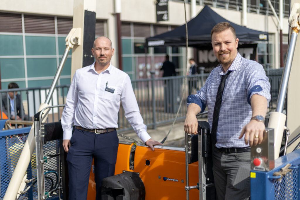
The activation of the nodes, verification of subsidence event alarms, calibration of internal clocks and harvesting of seismic data will be performed using an autonomous underwater vehicle (AUV) called Flatfish developed, in a closely interlinked ANP project, by partners Shell Brasil, Petrobras, SENAI CIMATEC and Saipem.
Flatfish will find each node using Sonardyne’s 6th generation (6G) of acoustic positioning systems. Our acoustics will also support data telemetry with the nodes, for health checks, configuration and acoustic time synchronization. The Flatfish will then hover above each node, in turn. Using an extremely high bandwidth and energy efficient laser-based variant of Sonardyne´s BlueComm optical communications device, it will wirelessly harvest many gigabytes of seismic data in just a few minutes.
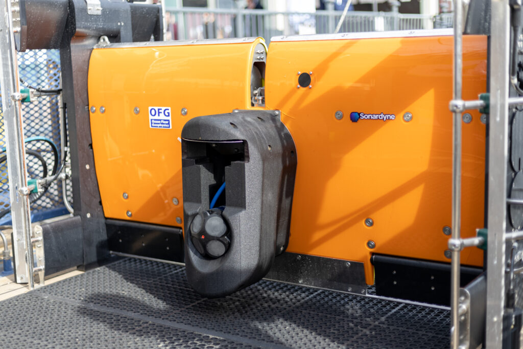
This variant uses two rapidly modulated lasers to produce simultaneous bi-directional communications over more than five meters range. It is optimised for peak data transfer performance, with speeds of over 600 megabits per second demonstrated. This makes it excellent for harvesting large amounts of data from seabed nodes.
“Using OD OBN in combination with Flatfish, a 4D seismic campaign in the pre-salt may be executed in a simpler manner, with lower operational cost, lower risk of human exposure and lower environmental impact,” says Jorge Lopez, Manager of Subsurface Technology at Shell Brasil. “On top of this, the nodes also measure seafloor deformation and can continuously monitor for possible subsidence events that may occur during the production of the field.”
The results
In the first phase of the OD OBN project, eight fully functional prototype nodes were built. These comprised of two different concept types and were designed and built by SENAI CIMATEC in Salvador, Bahia together with Sonardyne Brasil.
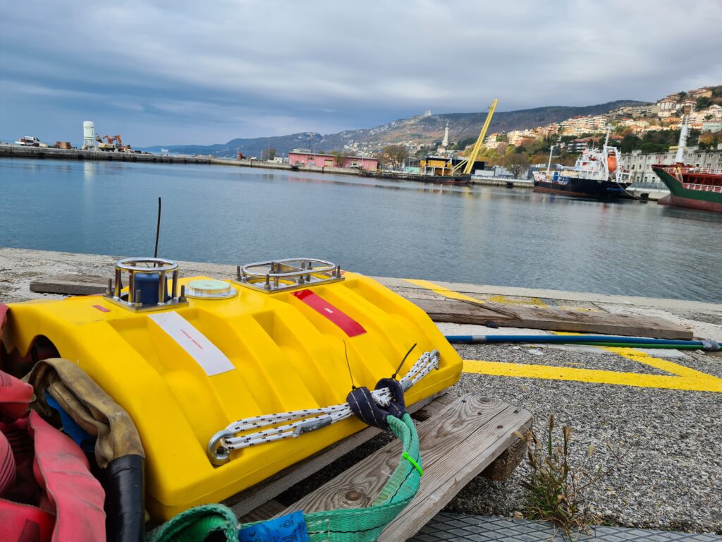
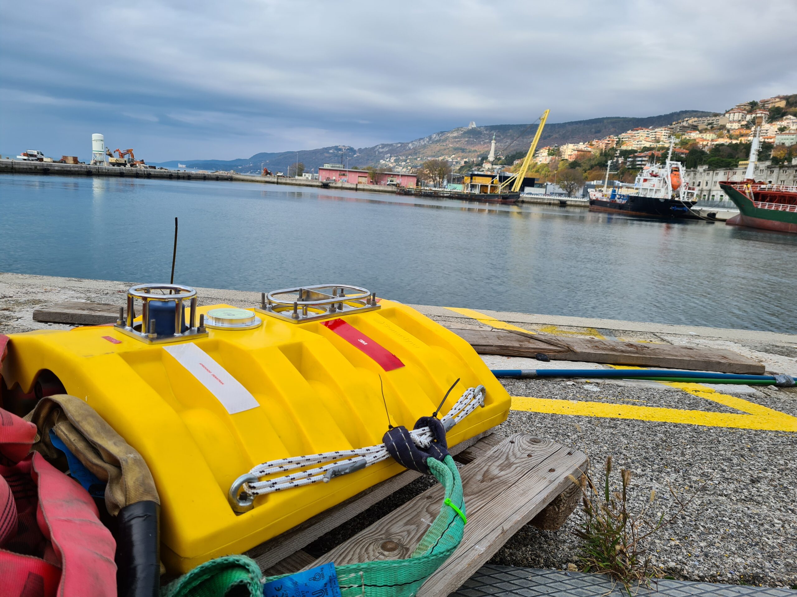
In 2021, initial tests of seismic data recording were conducted at the Sapinhoá pre-salt field offshore Brazil and interoperability tests between the nodes and the Flatfish AUV were performed in shallow water in Trieste, Italy.
A very intensive laboratory and offshore testing and demonstration program is being conducted over the next 18 months to ensure the OD OBN system meets its operational requirements. This program will increase the maturity of the solution, with tests in pre-salt fields for recording seismic data with the OD OBN prototypes and the communication and data harvesting AUV missions.
In the next phase of the project, starting later in 2022, Shell and Petrobras will sign a new agreement to manufacture 600 nodes and deploy them for three years of reservoir monitoring in a Brazilian pre-salt field.
Maior eficiência, baixo custo de operação, para sísmica em águas profundas através de autonomia submarina
A Shell Brasil, em parceria com a Petrobras, a Sonardyne e o instituto de pesquisa brasileiro SENAI CIMATEC estão trabalhando juntos para trazer uma mudança radical na coleta de dados sísmicos 4D na região do pré-sal em águas profundas do Brasil.
Descubra como estamos colaborando para desenvolver tecnologia autônoma inovadora que tornará o monitoramento desses desafiadores campos em águas profundas mais eficiente, com menos pessoas e menor impacto ambiental.
O desafio
Os dados sísmicos são uma parte essencial da atividade de desenvolvimento de campos offshore, especialmente para apoiar o gerenciamento proativo de reservatórios e a otimização da produção. As técnicas para coletar esses dados evoluíram dramaticamente ao longo das décadas; desde o uso de streamers marinhos para grandes campanhas sísmicas de exploração até o uso rotineiro de veículos operados remotamente (ROV) para implantar nós de fundo oceânico (OBN) para imagens de alta resolução de reservatórios do pré-sal.
No entanto, a coleta de dados sísmicos para imagens de reservatórios do pré-sal continua sendo um trabalho intensivo. Envolve embarcações tripuladas grandes, caras e emissoras de carbono para implantação e recuperação de, normalmente, milhares de nós. Como exemplo, para uma campanha de 10 meses em um dos campos gigantes do pré-sal brasileiro, uma embarcação de manuseio de nós pode emitir cerca de 10.000 toneladas de CO₂. Operações caras e complexas podem reduzir a frequência de levantamentos, inclusive daqueles feitos para coletar o lapso temporal que é chamado de dados sísmicos 4D, necessários para monitorar os reservatórios do pré-sal.
A Shell e a Petrobras nos procuraram acreditando que poderia haver uma forma mais barata e sustentável de adquirir dados sísmicos 4D, além de outros parâmetros, como subsidência do fundo do mar, para ajudar a monitorar melhor os reservatórios. Eles também viram que isso poderia ser feito com um impacto ambiental menor e mantendo mais pessoas seguras.
A solução
Juntos, Shell Brasil, Petrobras e Sonardyne uniram forças com o SENAI CIMATEC para desenvolver um sistema avançado de aquisição de dados sísmicos em um projeto de pesquisa e desenvolvimento promovido pela Agência Nacional do Petróleo, Gás Natural e Biocombustíveis (ANP).
Em seu núcleo está um On-Demand Ocean Bottom Node, ou OD OBN. Este sistema semipermanente do fundo do mar é usado para a aquisição de dados sísmicos de alta resolução e subsidência do fundo do mar.
Assim como os nós convencionais do fundo do mar (OBN), cada OD OBN contém três geofones e um hidrofone, um sistema de gravação de dados, baterias e um relógio de alta precisão. Os sensores detectam ondas de pressão emitidas por uma fonte do tipo airgun, rebocada por um navio, à medida que são refletidas para cima em direção ao fundo do mar a partir das camadas subjacentes de rocha ao redor do reservatório.
Ao contrário dos nós convencionais, os OD OBNs permanecem no fundo do mar, até 3.000 m, coletando dados sísmicos por até cinco anos. Isso reduz significativamente o custo de repetidas campanhas sísmicas no fundo do oceano, uma vez que a embarcação de manuseio de nós é removida das operações. Também reduz o impacto no meio ambiente e nos ecossistemas marinhos.
A ativação dos nós, a verificação dos alarmes dos eventos de subsidência, a calibração dos relógios internos e a coleta dos dados sísmicos serão realizados por meio de um veículo submarino autônomo (AUV) denominado Flatfish, desenvolvido em um projeto ANP estreitamente interligado, pelos parceiros Shell Brasil, Petrobras, SENAI CIMATEC e Saipem.
O Flatfish encontrará cada nó usando a 6ª geração (6G) de sistemas de posicionamento acústico da Sonardyne. Nossa acústica também suportará telemetria de dados com os nós, para verificações de integridade, configuração e sincronização de tempo acústico. O Flatfish irá então pairar acima de cada nó, por sua vez. Usando uma largura de banda extremamente alta e uma variante baseada em laser com eficiência energética do dispositivo de comunicação óptica BlueComm da Sonardyne, ele coletará sem fio muitos gigabytes de dados sísmicos em apenas alguns minutos.
Esta variante usa dois lasers modulados rapidamente para produzir comunicações bidirecionais simultâneas em um alcance de mais de cinco metros. Ele é otimizado para desempenho de transferência de dados de pico, com velocidades demonstradas de mais de 600 megabits por segundo. Isso o torna excelente para coletar grandes quantidades de dados de nós do fundo do mar.
“Usando OD OBN em combinação com o Flatfish, uma campanha sísmica 4D no pré-sal pode ser executada de forma mais simples, com menor custo operacional, menor risco de exposição humana e menor impacto ambiental”, afirma Jorge Lopez, Gerente de Tecnologia de Subsuperfície da Shell Brasil. “Além disso, os nós também medem a deformação do fundo do mar e podem monitorar continuamente possíveis eventos de subsidência que podem ocorrer durante a produção do campo”.
Os resultados
Na primeira fase do projeto OD OBN, doze nós protótipos totalmente funcionais foram construídos. Estes são compostos por dois tipos de conceito diferentes e foram projetados e construídos pelo SENAI CIMATEC em Salvador, Bahia em conjunto com a Sonardyne Brasil.
Em 2021, os testes iniciais de registro de dados sísmicos foram realizados no campo do pré-sal de Sapinhoá no litoral brasileiro e os testes de interoperabilidade entre os nós e o Flatfish AUV foram realizados em águas rasas em Trieste, Itália.
Um intenso trabalho em laboratório e um programa de demonstração e testes offshore estará sendo realizado nos próximos 18 meses para garantir que o sistema OD OBN atenda aos seus requisitos operacionais. Este programa aumentará a maturidade da solução, com testes em campos do pré-sal para registro de dados sísmicos com os protótipos OD OBN e as missões AUV de comunicação e coleta de dados.
Na próxima fase do projeto, a partir do final de 2022, a Shell e a Petrobras assinarão um novo acordo para fabricar 600 nós e implantá-los para três anos de monitoramento de reservatórios num campo do pré-sal brasileiro.
Mini-Ranger 2 for the next-level USV operations
Fugro is expanding the possibilities of remote marine operations with its growing fleet of SEA-KIT X-class uncrewed surface vessels (USVs) and eROVs. Read on to learn how our Mini-Ranger 2 Ultra-Short BaseLine (USBL) positioning system supports their remote capability.
The challenge
Leading geo-data specialist Fugro has a clear goal – to achieve safer, faster and more sustainable operations. One of the ways it’s doing that is by using uncrewed surface vessels (USV) to carry out subsea inspection, construction support and hydrographic and geophysical surveys operations.
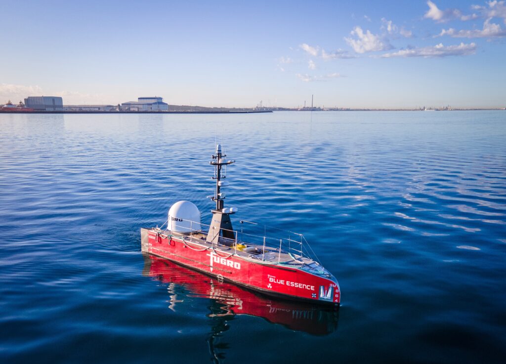
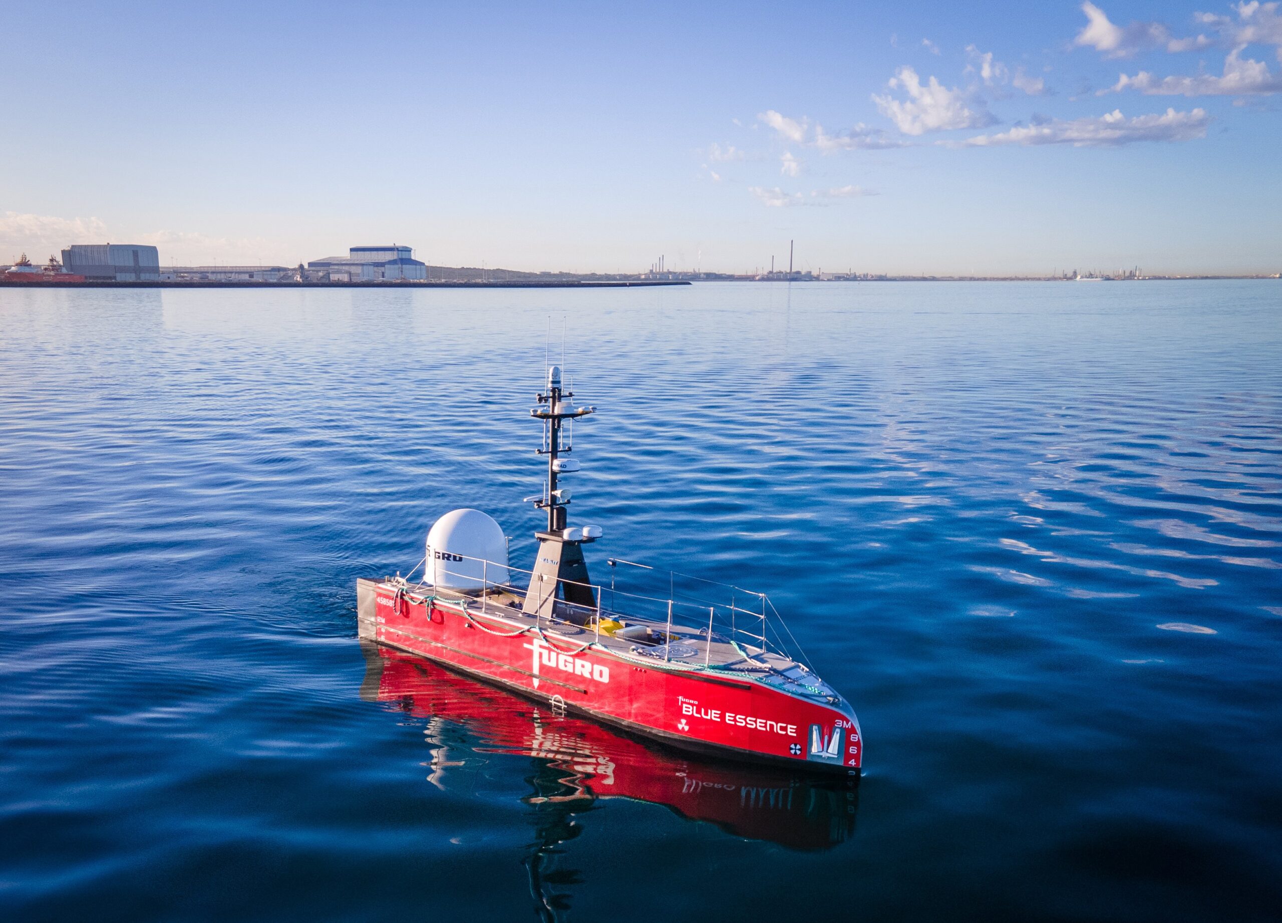
Fugro’s fleet is initially being built with several 12 m-long SEA-KIT X class USVs, named Blue Essence™ by Fugro, with larger SEA-KIT designs planned. These vehicles are operated over-the-horizon from one of Fugro’s onshore global onshore remote operations centres (ROCs).
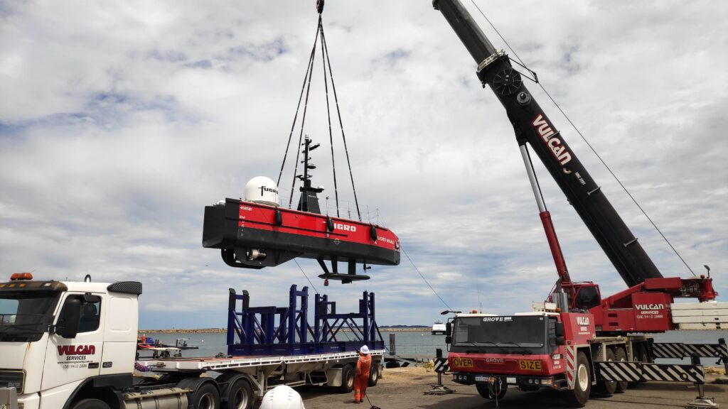
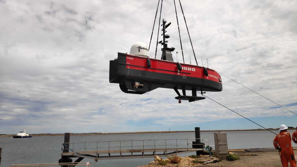
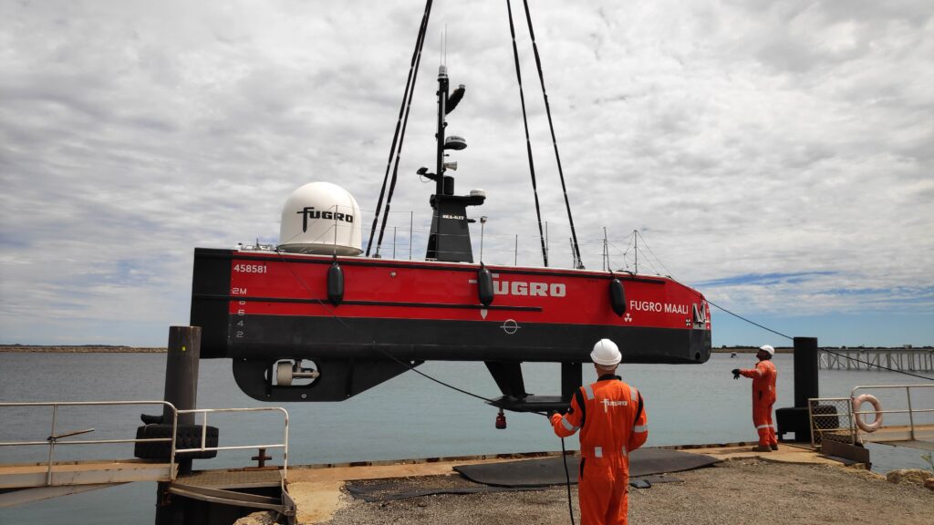
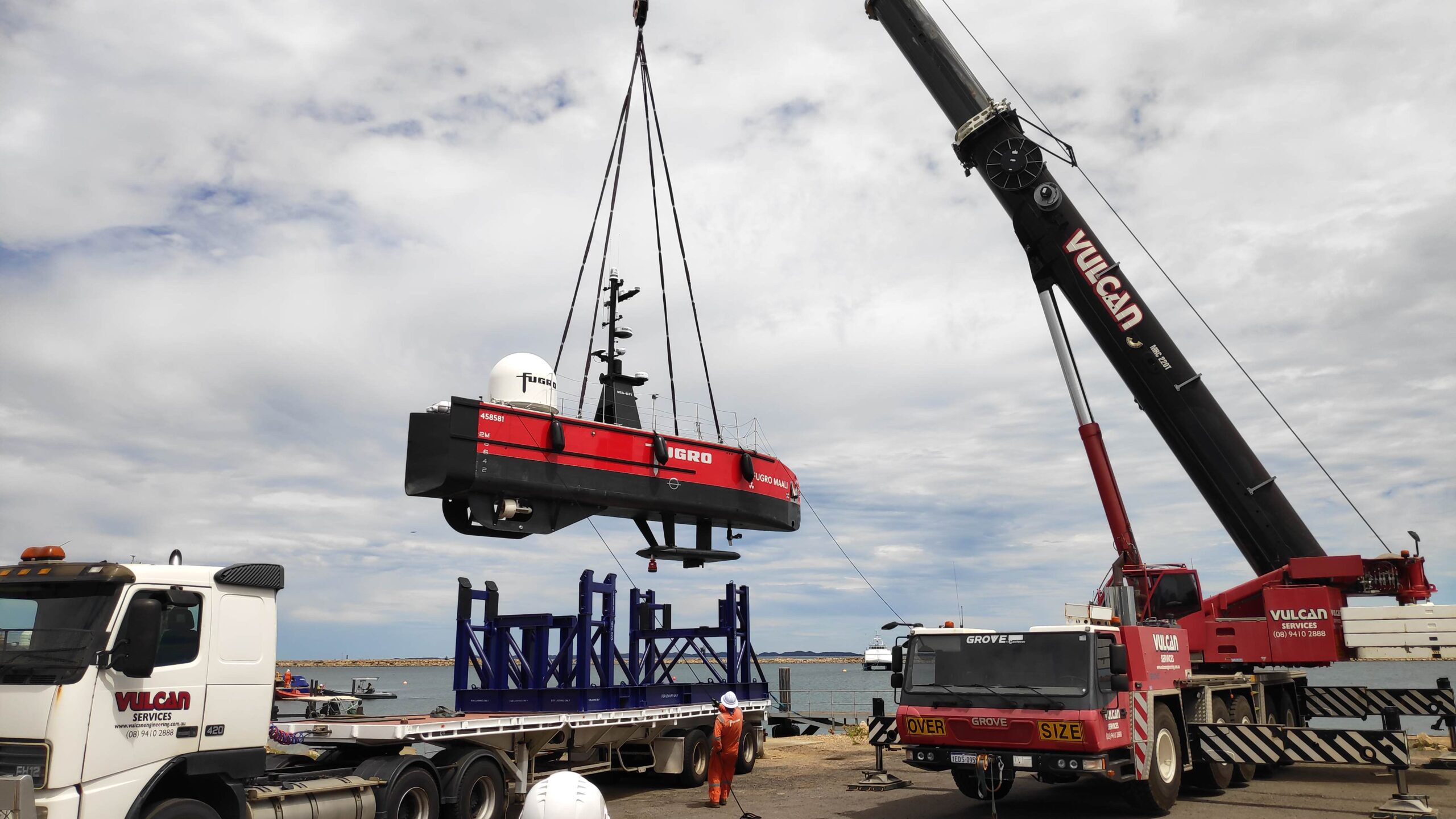
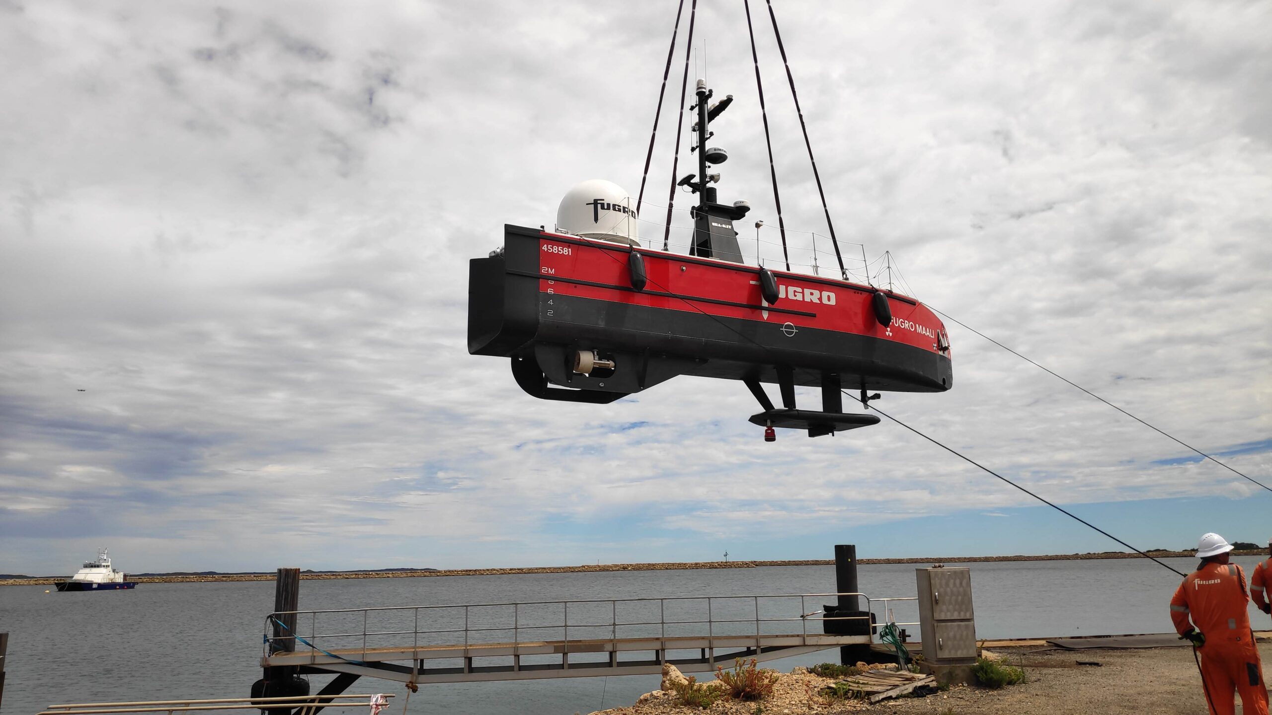
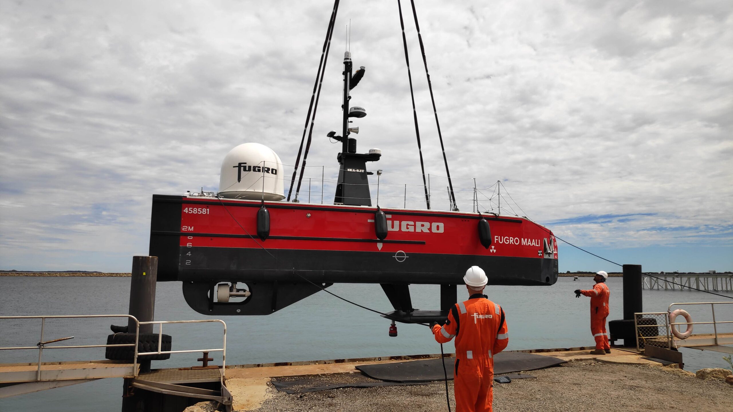
The Blue Essence™, Fugro Maali 12 m USV can be remotely launched and recovered by personnel at the ROC.
To ensure accurate control and high quality data gathering during its operations using the ROV, Fugro needed a suitable underwater Ultra-Short BaseLine (USBL) positioning system. In particular, Fugro was focused on shallow water inspection operations in 5 – 150 m water depth, that would involve long layback tracking.
The solution
Fugro selected our Mini-Ranger 2 Ultra-Short BaseLine (USBL) underwater positioning system and a Wideband Sub Mini 6+ (WSM 6+) transponder/responder for tracking the ROV.
Mini-Ranger 2 provides a high level of performance without the complexity of a deep water USBL system. It’s compact and easy to install, yet supports tracking, telemetry and control with an operating range of 995 m, extendable to 4,000 m.
At its heart is our HPT 3000 transceiver. It’s low weight (9.5 kg in water) and power draw, so it has minimal impact on any USV’s key performance budgets. It’s optimized for use in shallow water, high elevation and long lay back operating scenarios, making it ideal for Fugro’s shallow water operations, as well as much deeper water work.
HPT 3000 is compatible with all our 6G transponder options, supporting a wide range of functionality, including tracking, telemetry and control. That can be with up to 10 targets simultaneously, whether that’s ROVs, AUVs or divers. It’s also popular for use in ocean data gathering, thanks to its high data rate data collection capability from underwater.
The results
Fugro’s first SEA-KIT Blue Essence™, called Fugro Maali, was delivered to its base in Perth, Australia, in early 2021. Mini-Ranger 2 was configured with an external AHRS and SVP, as well as Fugro’s Starfix® GNSS, to ensure the best possible results from the system.
The vehicle was put to work straight away on an entirely remote nearshore inspection of three gas trunklines off Australia for the Woodside-operated North West Shelf Project – an industry first.
The inspection covered 1,300 km and included a multibeam survey, visual inspection using the ROV and a cathodic protection assessment of the gas trunklines to comply with Woodside and regulatory requirements, with operations controlled from Woodside’s King Bay Supply Facility and Fugro’s ROC in Perth.
Since then, Fugro Maali has carried out further campaigns through 2021 and into 2022, including subsea asset inspection, benthic habitat mapping and high resolution pipeline surveys.
“We couldn’t be happier with how the Mini-Ranger 2 has performed to date onboard the Fugro Maali USV,” says Matt Lussu, Principal Hydrographic Surveyor, Fugro. “We’ve seen reliable USBL positioning even in moderate sea states. We’ve also had good results with shallow water tracking, even when then ROV is several orders of water depth away from the transceiver.”
Fugro took delivery of its second Blue Essence™ USV in 2021. A third USV is about to be operational in the Middle East. A fourth is in sea trials and a the fifth in build, all with Mini-Ranger 2 onboard. In 2023, the company is also expected to take delivery of its next range USV, the Blue Eclipse™, an 18 m vessel, built by SEA-KIT and based on its XL-class design.
For the USV delivery, we worked closely with Fugro and SEA-KIT to deliver this integrated remote USV operations capability, ahead of the X-Class USV’s first operations offshore Australia.
Seabed-to-desk data harvesting with HydroSurv
Combining uncrewed surface vessels (USVs) and cloud services can help offshore wind farm developers and operators collect and act on ocean data faster and more efficiently. Learn how we’re using our expertise to make rapid seabed-to-desk metocean data collection happen with USV innovator HydroSurv.
The challenge
Offshore renewable energy projects need data throughout their lifespans to support proper design, installation, operation, and maintenance*. This includes bathymetry and geotechnical data, but also metocean data, such as current, wave and sea height characteristics.
Water current profiles, for example, are needed to help locate turbine foundations, cables and cable landfalls. During the life of a project, operators need to understand what’s happening in the water column and at the seabed, to prevent downtime, ensure safe and efficient operations and understand fatigue life.
As wind farms start to be built in deeper waters, ocean data becomes even more critical, as conditions become more complex and especially where floating platforms will be deployed. Water current, height and direction are all critical, for planning and operations.
Traditionally, much of this data is gathered using seabed sensors, such as acoustic Doppler current profilers (ADCPs) and pressure sensors, and conventional crewed vessels. However, when accurate spatial and temporal data is required, this isn’t always efficient. The required frequency of site visits to gain sufficient data increase risk and cost, especially when sites are further from shore. Because of this, there is growing demand for remote, lower cost and emissions survey and data harvesting solutions that help reduce downtime and improve yield.
The solution
USVs can visit challenging offshore sites more frequently, at significantly lower cost and with much lower carbon emissions than a crewed vessel.
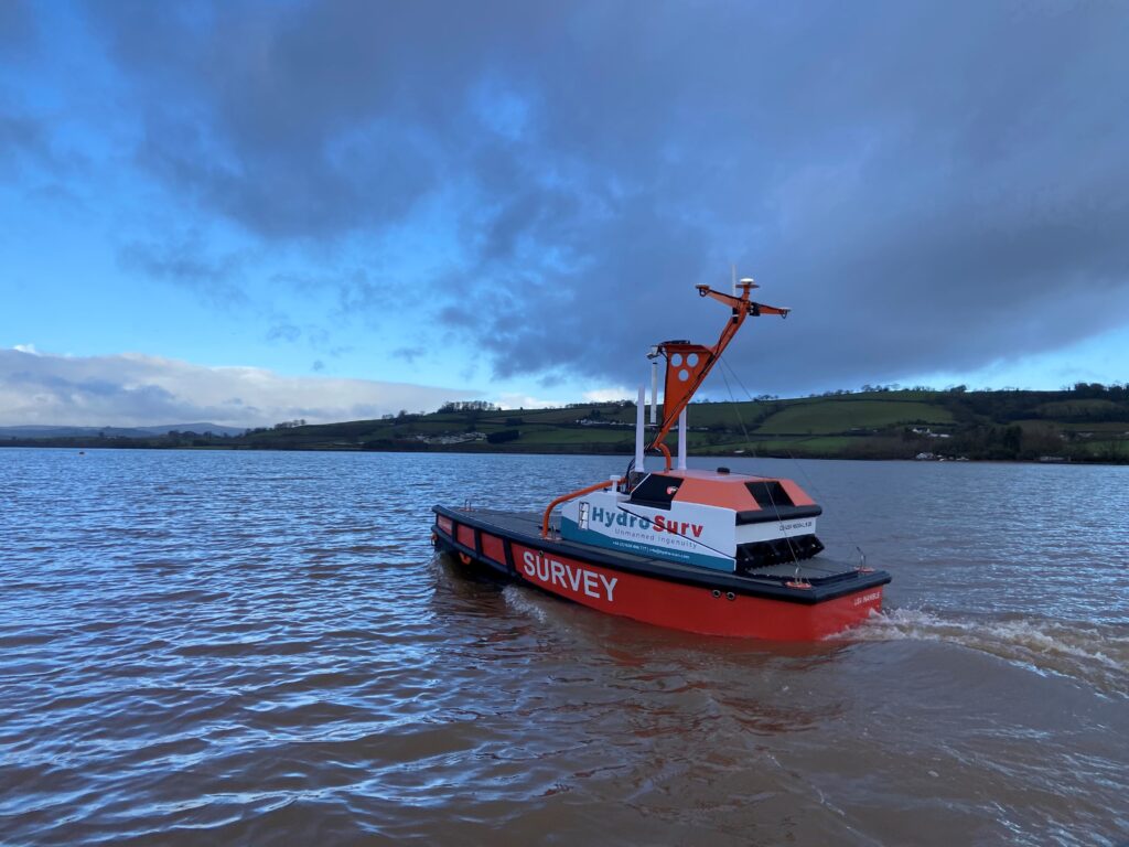
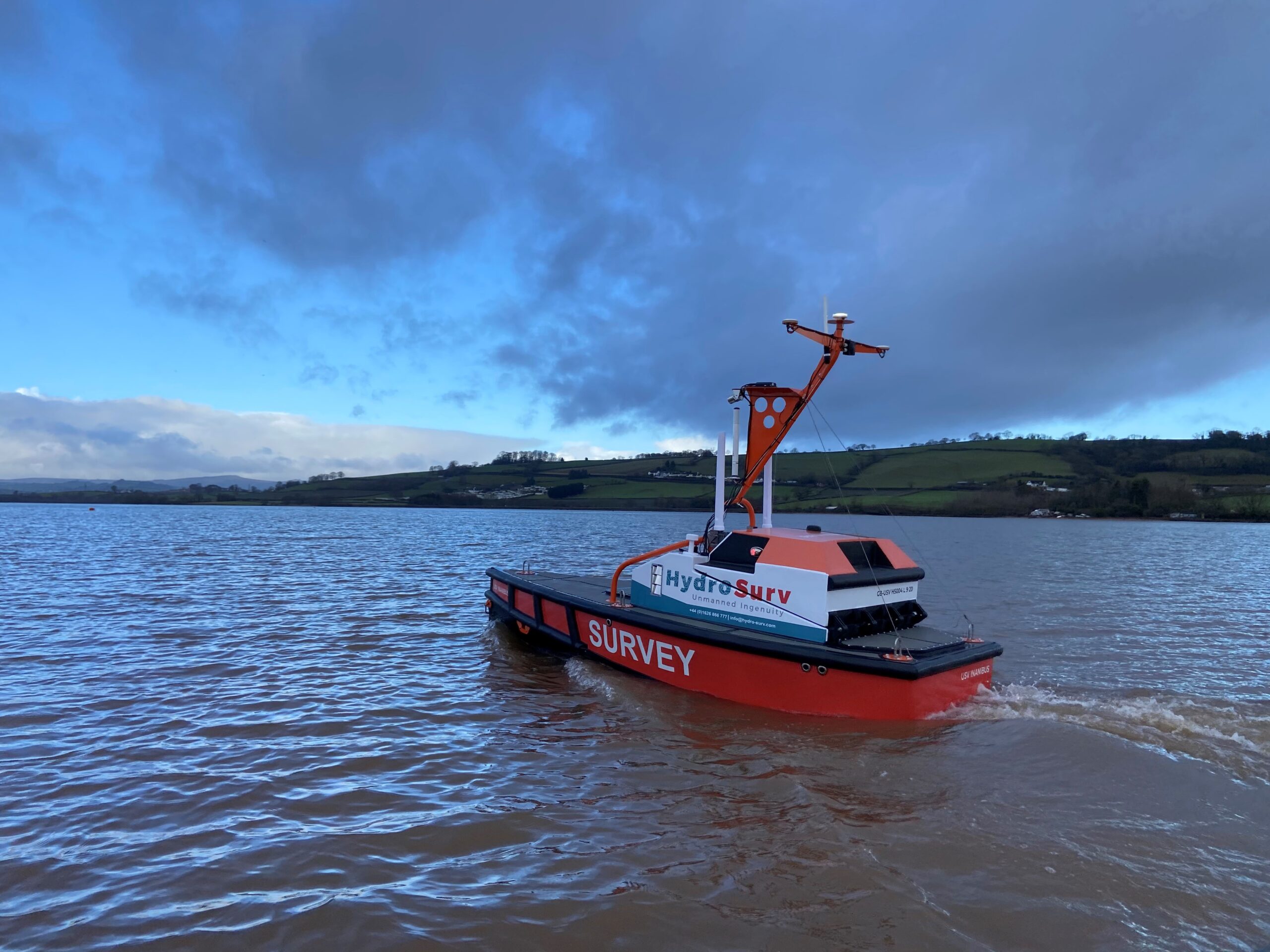
So, we’ve been working with Exeter-based HydroSurv, an innovator in uncrewed vessel technology, to demonstrate the benefits of USV platforms to provide seabed-to-shore rapid data gathering. This was through a collaborative project, co-funded by Innovate UK through its Robotics for a Safer World: extension project.
HydroSurv’s REAV-40 USV was paired with our intelligent seafloor and vessel-mounted instruments, alongside satellite communications and cloud-based services, to provide an end-to-end seabed-data-to-shore service.
That included our Mini-Ranger 2 Ultra-Short BaseLine (USBL) acoustic positioning system, which is popular for use on mid-size USVs. That’s because it provides USVs with an easy to install and use capability to position, track, communicate with and health check and configure/reconfigure mobile and seafloor-based instruments. It’s the link from the seabed to the surface! Like all Sonardyne hardware, it uses Sonardyne’s 6G Wideband spread-spectrum digital signal processing to communicate, track and position any 6G-enabled instruments.
The REAV-40 also had our SPRINT-Nav hybrid acoustic-INS navigation instrument onboard. SPRINT-Nav provides USVs with navigational redundancy, helping them to ride out drops in GNSS signals, which can be a challenge in wind farms and near built up areas or large structures. This also helps to improve multibeam echosounder data gathering, but it can also support station keeping.
The result
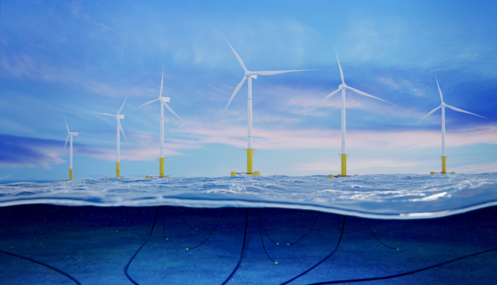
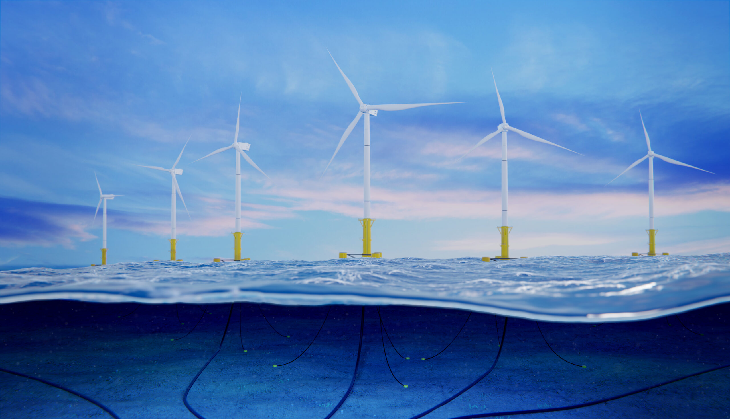
This project demonstrated the application of HydroSurv’s USV and Sonardyne’s acoustic communications technology for rapid environmental data collection to Blue Gem Wind, Simply Blue Group and Offshore Wind Consultants (OWC) focusing on the Valorous floating offshore wind project. The demonstration took place in the Celtic Sea.
Using the REAV-40 and our instruments, HydroSurv streamed a live, online demonstration of data harvesting from underwater instruments, straight to a cloud portal to Blue Gem Wind, Simply Blue Group and OWC audiences in multiple locations.
The integration demonstrated real-world capability of USVs, as platforms for integrated systems and sensors, to execute near-real-time critical data harvesting campaigns safely and cost-efficiently for the offshore sector. With our instruments, combined with cloud-based services, they were able to provide near real-time seabed data-to-desk capability, bringing data and value to the customer.
HydroSurv is now making Mini-Ranger 2 and SPRINT-Nav Mini integration available for customers to specify for turnkey integration into its USV platforms.
*Read DNV’s Metocean Characterization Recommended Practices for U.S. Offshore Wind Energy or IMAREST’s Metocean Procedures Guide for Offshore Renewables.
A SMART deepwater invention
Operations in deepwater are a significant challenge requiring the latest generation of subsea equipment and installation techniques. While the majority of operations do go to plan, there are occasions when they don’t and an innovative approach to deepwater intervention is required.
The challenge
Houston headquartered engineering specialists Trendsetter Vulcan Offshore (TVO) were set just such a difficult deepwater intervention challenge. They were brought in to help an operator rectify a completed wellhead at a deepwater site that had suffered from misalignment. The wellhead, which was in more than 2,000 m water depth, had been bent and there were concerns other components might have been damaged.
TVO were tasked with finding a solution to bringing it back to a vertical position. This would allow intervention access to the well for remediation and abandonment operations, so it could be permanently sealed. A key challenge was to carry out this work extremely carefully and in a controlled manner, in order to prevent any further potential damage to the wellhead.
The solution
TVO came up with an innovative solution to the problem. It proposed a ring of six subsea tensioning systems, mounted on suction piles positioned in a ring on the seafloor around the wellhead. Each one would be connected via a rope to a Trendsetter-supplied lower riser package (LRP) installed onto the wellhead. By carefully tensioning the ropes, they would be able to then bring the wellhead back into an upright position.
To do this in a safe and controlled way, TVO required a monitoring system which would provide:
- Near real-time feedback of the tension data at each of six load pins installed on the LRP (one each for each of the six tensioners).
- Near real-time inclination data from the wellhead itself
Conventional deepwater intervention solutions
Traditionally, inclination data is acquired by visually checking subsea bullseye levels attached to a structure using a diver, or, in this water depth, a remotely operated vehicle (ROV). Similarly, visual displays on the tensioning systems would be the source of the tension data, also read using an ROV.
However, these techniques add a significant amount of time, given the 30-40 m radius of the circle of tensioning systems, even if, as was the plan, only two would need to be actively tensioned during the righting operation. Bullseyes can also be mis-read.
Another alternative option is to deploy battery powered accelerator and inclinometer measuring bottles, using an ROV. But these would have to be retrieved to the surface after each measurement, so would also mean a lengthy operation, potentially taking days.
Taking an alternative, SMART, real-time intervention approach
Instead, TVO proposed and successfully deployed a wireless, intelligent, digital underwater monitoring solution. This provided near real-time inclination and tension data to the operations team at the surface (around three minutes delay). It comprised of two of Sonardyne’s Subsea Monitoring, Analysis and Reporting Technology (SMART) and six Compatt 6 transponders.
The internal inertial measurement unit in each SMART was used to calculate pitch and roll data from two points either side of the LRP, allowing TVO to calculate the wellhead’s bend angle in the local coordinate frame.
This data was then transmitted acoustically, using the SMART’s internal modem, to the surface at three-minute intervals. The Compatt 6s were interfaced with the load cell shackles at each tensioner point on the LRP and transmitted the tension readings to the surface at less than one-minute updates.
Over
0
m
water depth
0
hour
critical righting operation
0
month
continuous monitoring campaign
The results
The righting operation took just three hours, using an ROV to tension the winches at two key tensioning units, one at a time. In comparison, using the alternative methods would have taken days. Throughout, the TVO team and the operator were able to view a constant near real-time visualization of the inclination of the wellhead and the tension that was being applied at each tensioning system. This was done via an internet-based dashboard developed by TVO, so that any member of the wider team, including the operator, from anywhere in the world could watch.
Making a SMART decision
“It was a very unique challenge. There were a lot of studies and approaches analysed within the customer group before making a decision to what the right approach was. They chose ours, using Sonardyne’s SMARTs and Compatt 6s, and it worked very well,” says TVO’s Kim Mittendorf.
“We really could control the two tensioners with the amount of tension we needed in near-real time. While the ROV was tensioning the winch, more than 2,000 m below us, we could see what direction the wellhead was moving in, how the pitch and roll angle changed.
“All the data was also live streamed to a website so that the customer, offshore and onshore, could monitor the operation in near-real time. This drove their decision making and gave them the comfort to continue with the operation as planned.”
Paving the way for a safe well abandonment
Following the righting of the wellhead, the tensioning and monitoring system was kept in place to allow safe intervention and final abandonment operations to be completed. During this phase, the data transmission rates were reduced to once every few hours.
For redundancy, two of the suction piles had relay Compatt 6s installed on them. This was due to a concern that direct line of sight to the transceiver from one or more of the Compatt 6s wouldn’t be possible.
In addition, the ROV had a ROVNav 6 transceiver, as another backup communications pathway. However, none of these were required as the LRP located SMARTs and the six Compatt 6s connected to the load pins were able to directly communicate with the topside transceiver.
Deepwater wireless well intervention success
The entire campaign proved to be a complete success. Thanks to TVO’s engineering and Sonardyne’s monitoring technologies, the operator was able to safely and efficiently decommission this challenging deepwater wellhead.
Initial skepticism from the operator in using a hydro-acoustic approach for data transmission was also overcome and through the success of the project, further confidence has been built into the technology for future applications.
Rapid leak detection for subsea production and storage sites
The ocean is a critical habitat that needs protecting. With decades of experience in sonar detection systems, our technologies provide an essential early subsea leak detection and warning system, across your oil and gas assets, CO₂ storage and offshore hydrogen transport and storage sites.
The challenge
A supermajor international energy company, with production infrastructure in more than 2,000 m (6,500 ft) of water depth, wanted a single subsea leak detection system that could be permanently installed to detect and localise, within seconds, oil or gas leaks across a wide area of its subsea infrastructure.
Existing sonar-based solutions are mostly based on sensors attached to subsea assets to detect leaks at specific or very localised locations, i.e. within a few metres. Alternative, non-acoustic, systems rely on anomalies in production data rates, which can be challenging should the leak occur upstream of the monitoring device.
At worst, leak detection relies on viewing the leak at the sea surface in the form of an oil-based sheen – when it’s already too late. This option is also limited when it comes to detecting leaks at gas producing fields and offshore carbon capture and storage (CCS) sites.
With a globally significant installed and aging asset base, as well as new infrastructure in the form of offshore CO₂ and hydrogen transport and storage, there’s increasing interest in alternative leak detection technologies that can operate autonomously and sustainably over wide areas in all water depths.
The solution
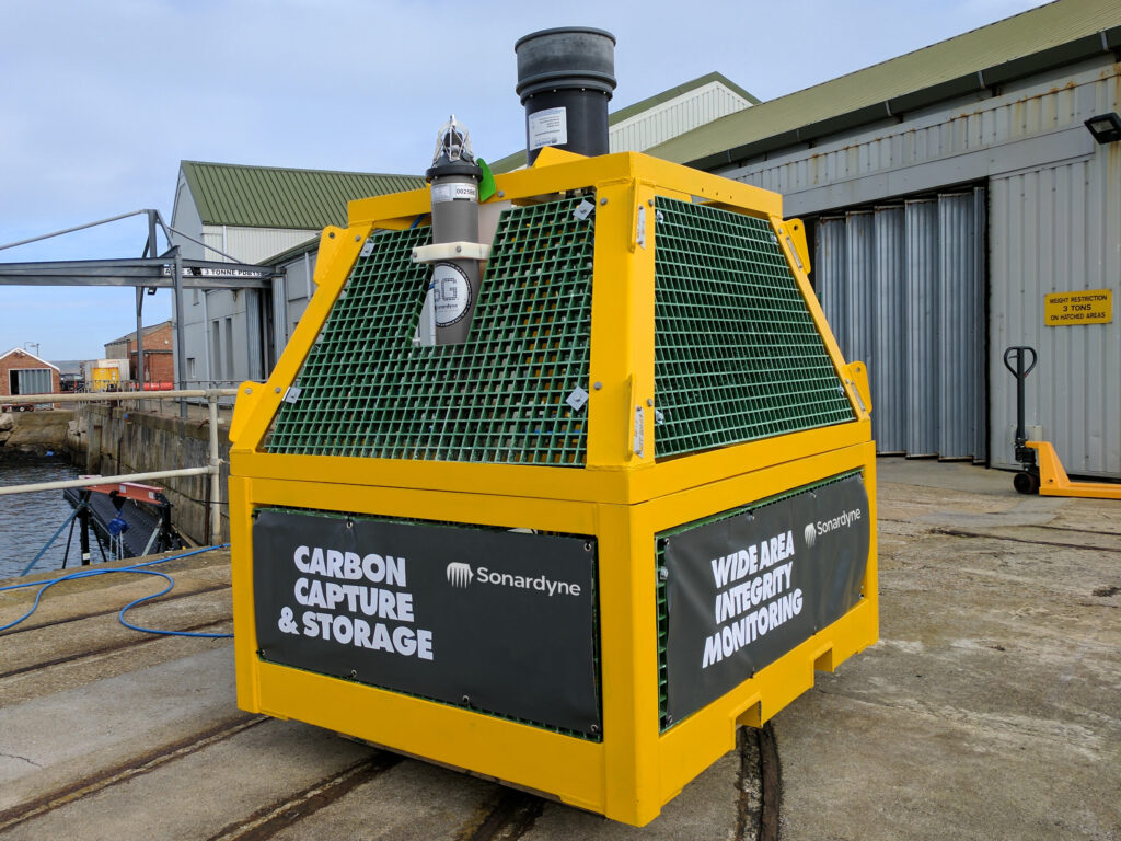
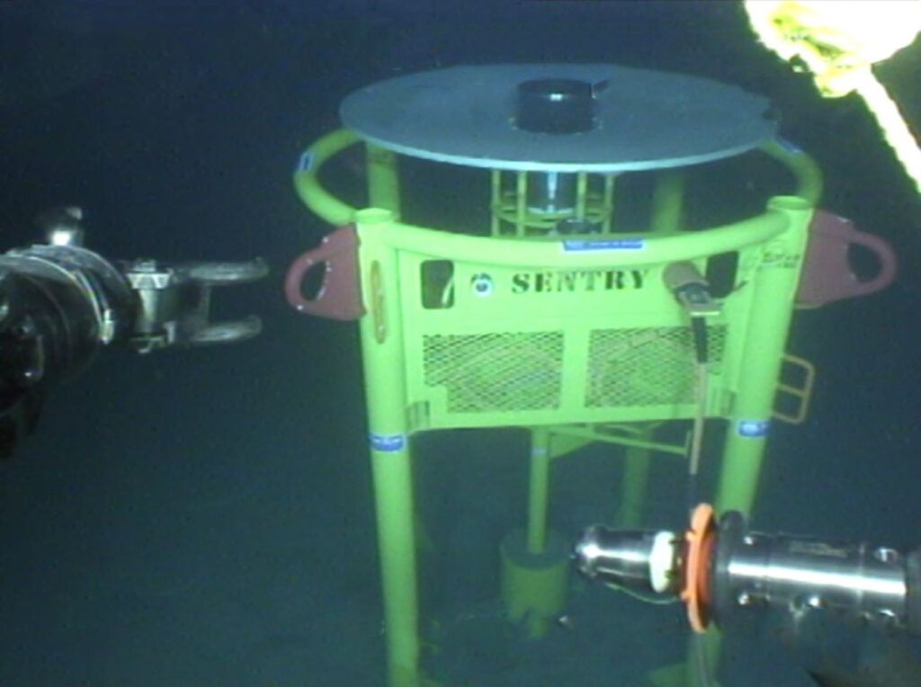
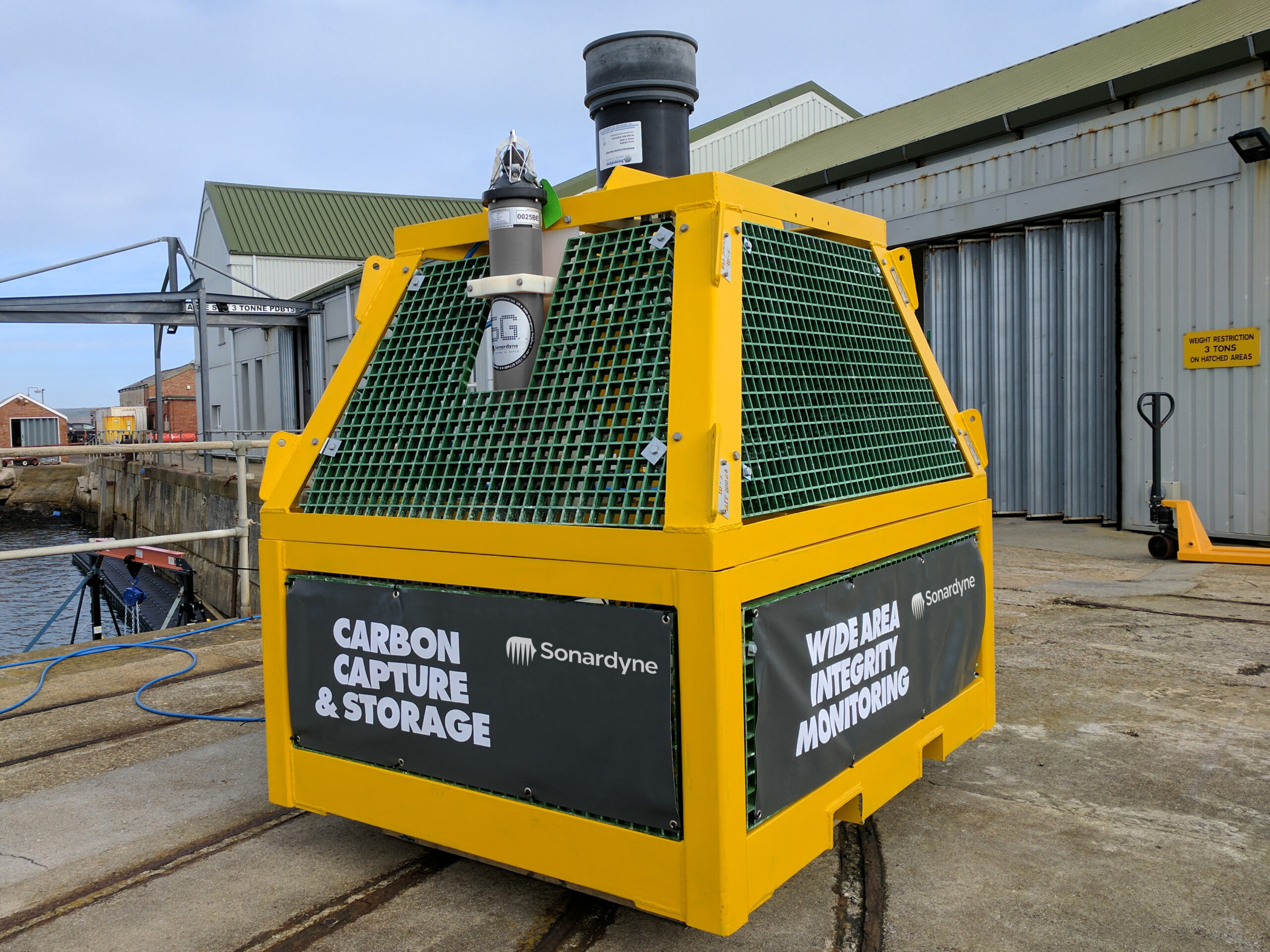
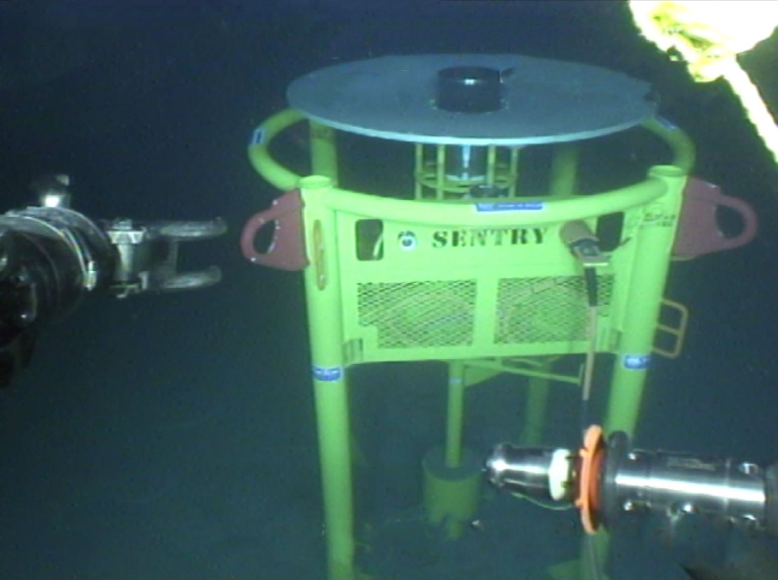
Developed by Wavefront Systems and manufactured and commercialised by Sonardyne, our Sentry Integrity Monitoring Sonar (IMS) is the only commercially available wide-area subsea leak detection system. A single Sentry head can provide 360-degree coverage of a 1,200 m diameter area, or more than one billion cubic feet of seawater, automatically alerting the operator as soon as an oil or gas leak is detected.
Detection rates are very impressive, with Sentry being able to detect monophase gas down to 0.1 litre per minute (equivalent to around 1 barrel of oil per day) or monophase oil to 1 litre per minute (equivalent to 9 barrels of oil per day). That means operators can react quickly to an infrastructure integrity breach before it becomes a bigger environmental and financial problem.
Sentry is an active acoustic-based solution that is based on a remotely operated vehicle (ROV) deployable low-power sonar proven for long-term monitoring. It’s available as a wired solution, that can be connected via existing subsea infrastructure directly into a surface asset. There, a Sentry workstation with graphical user interface (GUI) is able to provide users with clear real-time and automatic alerts of any oil or gas leaks.
It’s also available as a wireless, battery-powered solution for semi-permanent deployment, with data transmitted acoustically to a topside transceiver system. The transceiver can be deployed from a platform, buoy, vessel of opportunity or, now more commonly, via uncrewed surface vehicles (USVs).
The results
To make sure Sentry was fit for the oil major’s needs, the operator oversaw a trial deployment of a hardwired Sentry IMS. This included using a simulated monophase oil target, in this case nitrile-rubber strands, equivalent to a nominal oil leak rate of around 150 barrels per day.
The trials provided fast and accurate results. Detection and classification of the equivalent release of 100 barrels of oil per day out to 245 m (820 ft) was achieved, a distance constrained only by limitations of the trial set up. Leak detection was alerted within seconds of the simulated leak skid being deployed.
Sentry’s capability, however, covers 100 barrels per day mono-phase oil leaks at distances of up to 740 m (2,427 ft). It is even more sensitive to mono-phase gas leaks, with the system being capable of detecting down to the equivalent of just 1 barrel per day at 500 m (1,640 feet) or 100 barrels per day (as measured at depth) at 1,000 m (3,280 ft).
Following the extensive and successful trials, the operator purchased the Sentry IMS system for installation at its deep-water field development.
0
degree
coverage
0
m
diameter area
0.1 litre
per minute gas detection
Supporting the energy transition
As we transition from fossil fuels to new energies, many are looking to offshore as potential sites for CCS, as well as for hydrogen production.
Sentry helps to de-risk these projects. It ensures that, should carbon sequestration and offshore hydrogen transport and storage sites develop a leak, their operators will be alerted quickly, enabling a swift response, preventing larger environmental and financial problems.
Read about how we proved subsea leak detection capability for carbon capture and storage sites (CCS) through an Energy Technologies Institute research project, with partners Fugro, National Oceanography Centre, British Geological Survey and Plymouth Marine Laboratory here.
Straight out of the box navigational enhancement for offshore out of straightness surveys
Fugro are already delivering safer, faster and more sustainable offshore operations – as you may have read in our previous case study about the Mini-Ranger 2 USBL system being used to support ROV operations from a USV. Working with us, Fugro are continuing their pioneering remote operations with their fleet of uncrewed surface vessels (USVs) deploying remotely operated vehicles (ROVs) – changing the game for offshore infrastructure surveys. Read on to see how our SPRINT-Nav Mini is being used to enhance multibeam echosounder (MBES) on Fugro’s remote operations, providing incredible results.
The challenge
Out of straightness (OOS) surveys are used for acquiring information about the vertical and horizontal configuration of offshore pipelines. They provide operators with information on the presence or otherwise of buckles and bending in a pipeline, which may be engineered or not, and require monitoring during the operational life of the pipeline or flowline asset.
Fugro have been conducting OOS surveys on pipelines for major energy companies in Australia for many years. These surveys were conducted using a Norbit WBMS Narrow Multibeam echo sounder mounted on a Fugro inspection class ROV deployed from Fugro’s 12m Blue Essence® USVs, Maali and Kwilena.
ROV missions along pipelines can be erratic and unreliable due to the distance between the transceiver (USV) and transponder (ROV) when using just USBL positioning. For Fugro’s OOS survey customers, highly accurate data is essential. This has led to their requirement for the highest accuracy navigation and imaging available to the small ROV.
Fugro set us the challenge to provide a navigation solution that would enable the customer requirements of high-quality data using a small ROV. We worked with Fugro to trial SPRINT-Nav Mini and demonstrate the capabilities of the system.
The solution
SPRINT-Nav Mini is the world’s smallest hybrid navigator, combining INS, DVL, AHRS and a pressure sensor in one factory calibrated unit. SPRINT-Nav Mini’s true north seeking gyrocompass means that it delivers reliable surface and subsea navigation. Adding this navigation capability to any marine robotic system allows users more control and turns their vehicles into far more accurate inspection and survey platforms.
With everything you need for navigation packed into a single low Size, Weight and Power (SWaP) package, SPRINT-Nav Mini is simple to integrate into any marine vehicle along with other payload sensors, like Fugro’s MBES. Its impressive precision of 0.05% of distance travelled accuracy on a typical survey alongside our revised heading, pitch and roll specification means that advanced mapping is now possible on smaller platforms deployed from USVs.
“SPRINT-Nav Mini is becoming increasingly vital for geophysical survey operations where SWaP is critical. Users need accurate and high output rate navigation streams for real-time compensation of imaging sensors.” Says John Houlder, INS Product Manager, Sonardyne, “SPRINT-Nav Mini provides robust real-time results that are improved even further once post-processed in our Janus software.”
After demonstrating SPRINT-Nav Mini’s capabilities, Fugro purchased the system and have been deploying it on their inspection ROV, which in turn is deployed from the Blue Essence® USV. With the Fugro team’s input we have been able to revise our specification for SPRINT-Nav Mini, improving its suitability for use with MBES on geophysical survey. These revisions include:
Pitch and Roll: 0.1 to 0.02° RMS
Heading: 0.15 to 0.1° RMS
The results
Fugro utilise SPRINT-Nav Mini data within the ROV command and control software, Starfix® navigation, including their Camblock Vision based augmented reality system, and for processing MBES data. In the case of MBES processing, they are also conducting pipeline OOS surveys to a maximum depth of 200 metres.
The images below show some example data Fugro has gathered with MBES positioned using SPRINT-Nav Mini and post processed with our Janus software. Janus is our quality control and INS post processing software. It allows quick and easy data editing, post-processing and data export. Find out more about Janus here
If your offshore operations are also reliant on fast, efficient and accurate data to keep your business competitive in an ever-changing marketplace, take a look at our full range of navigational products here.