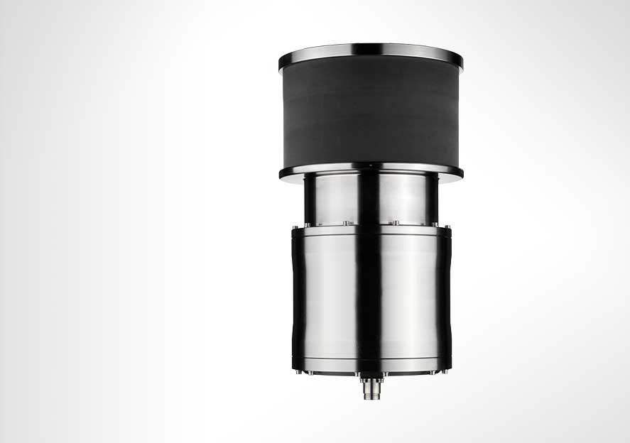
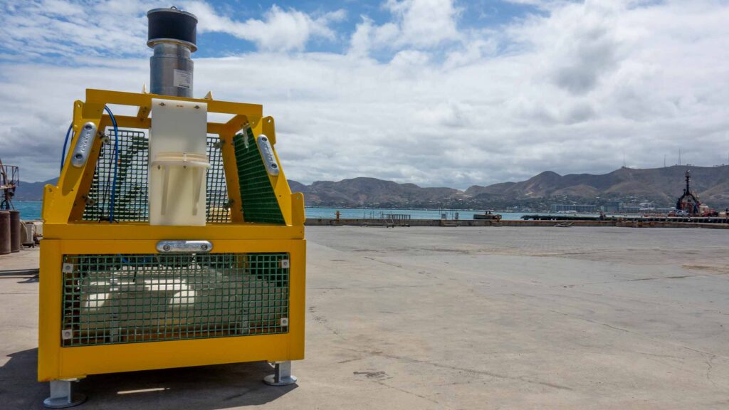
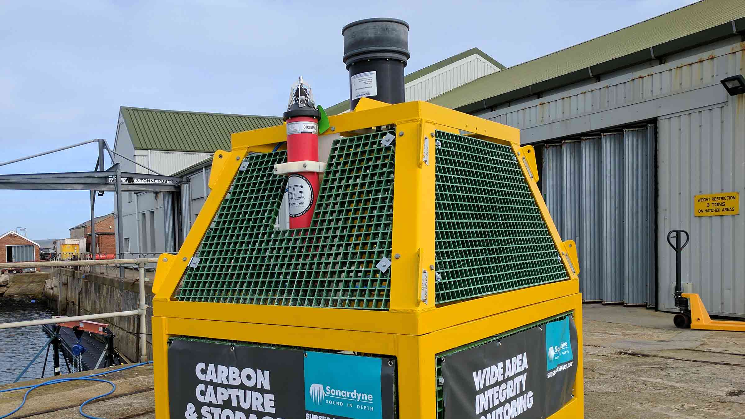
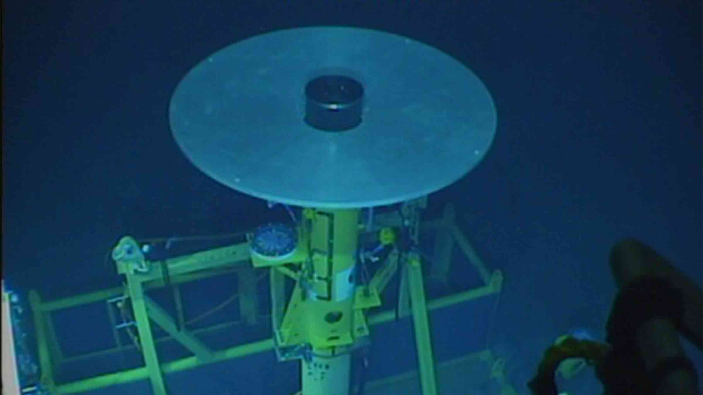
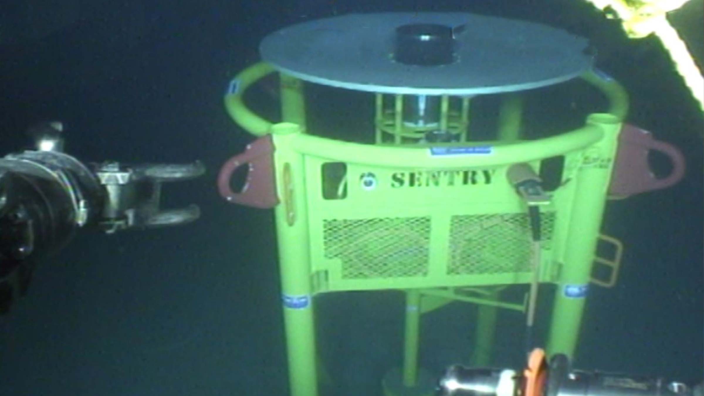
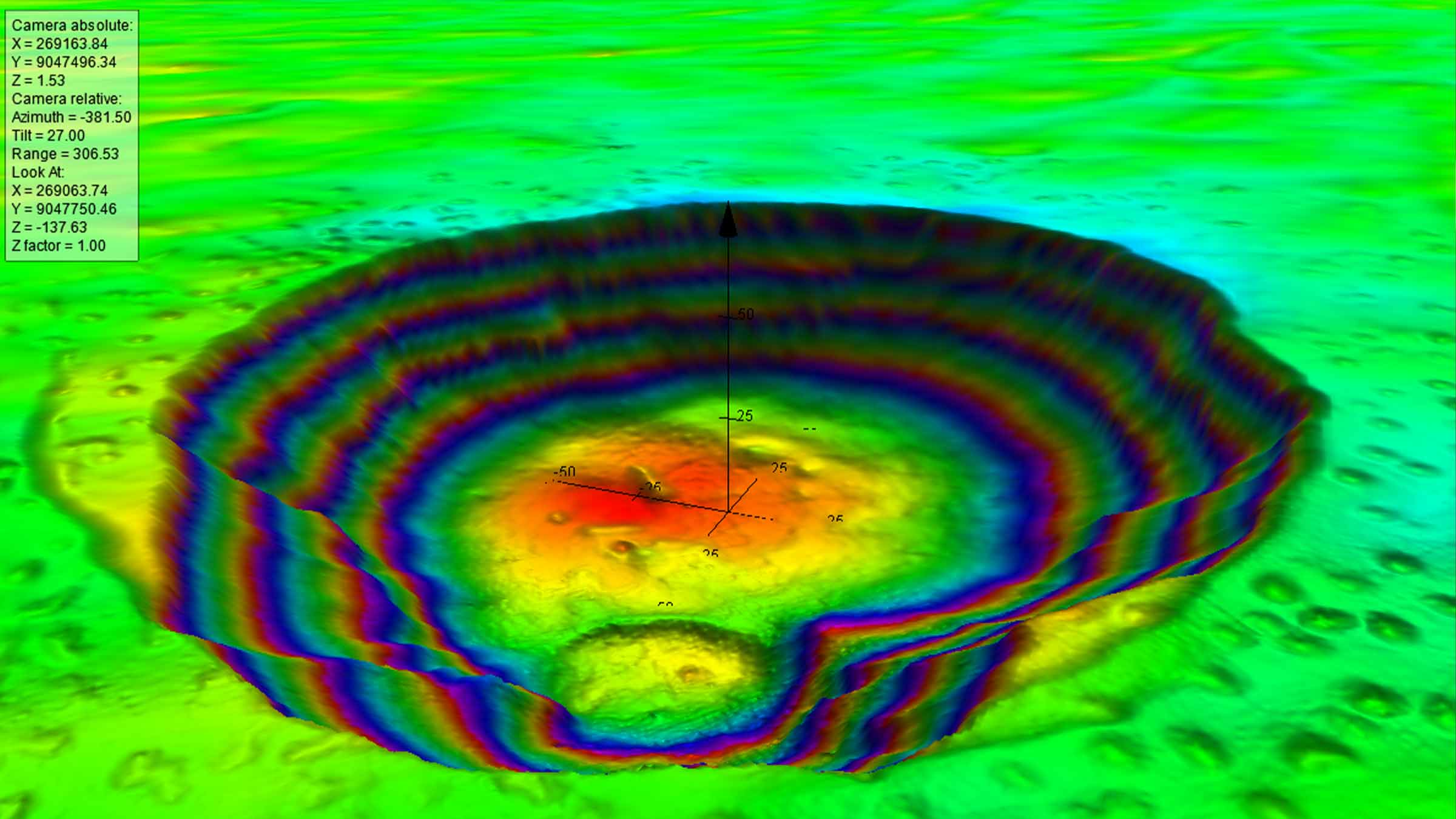
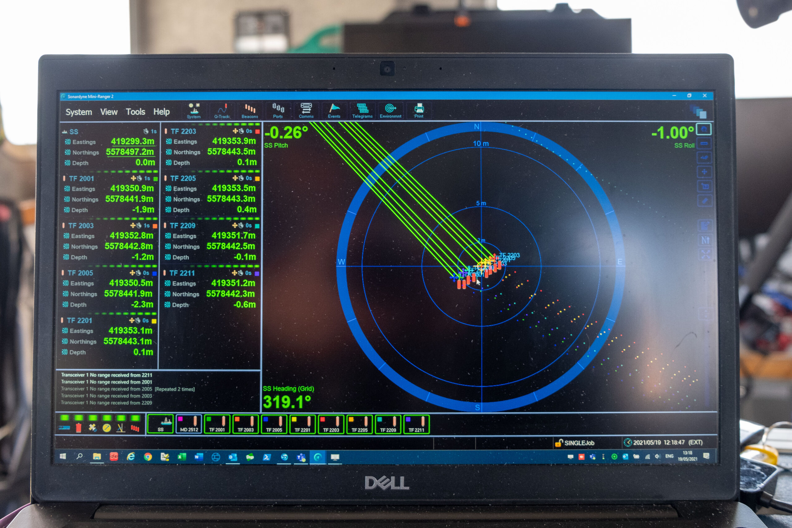
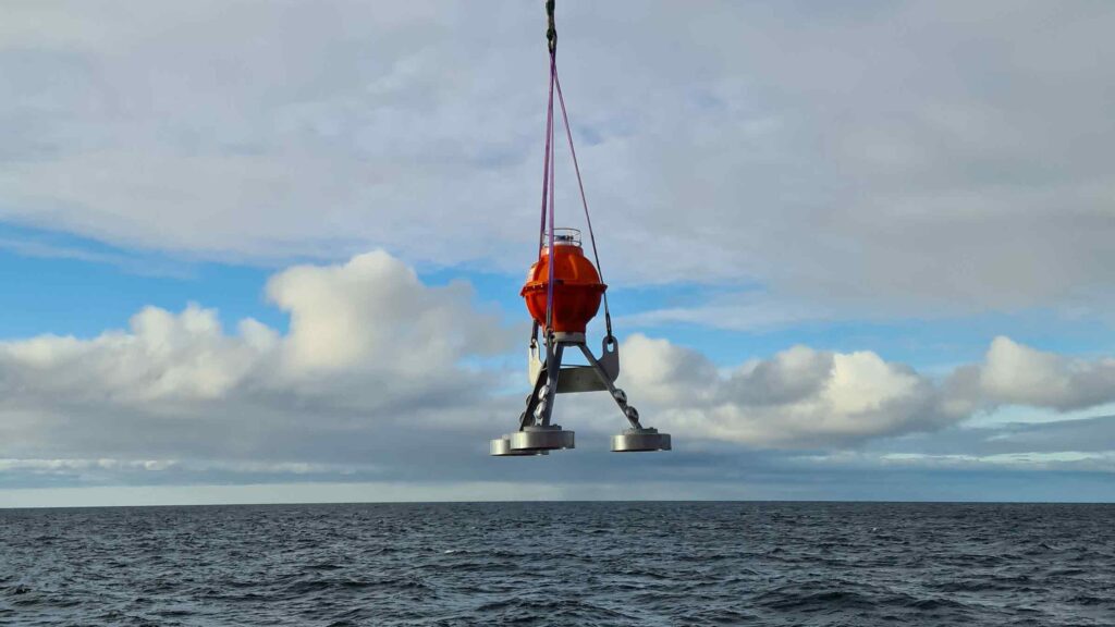
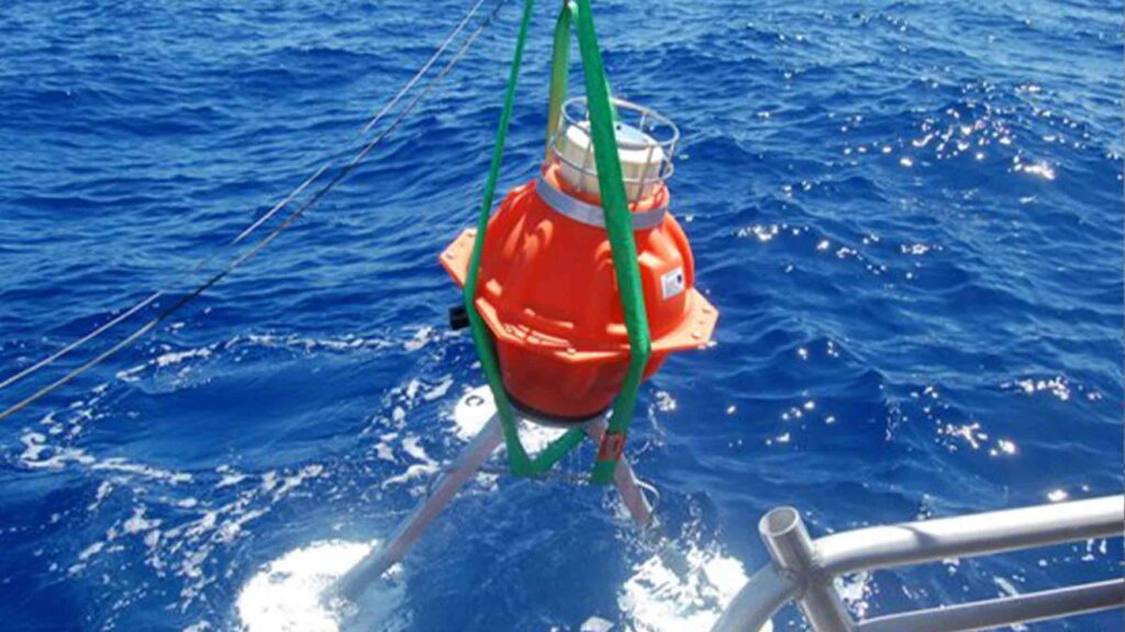
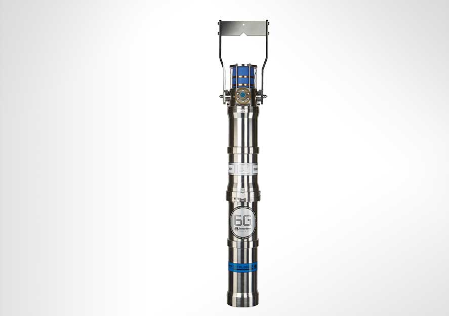
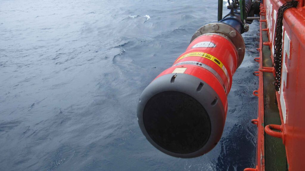
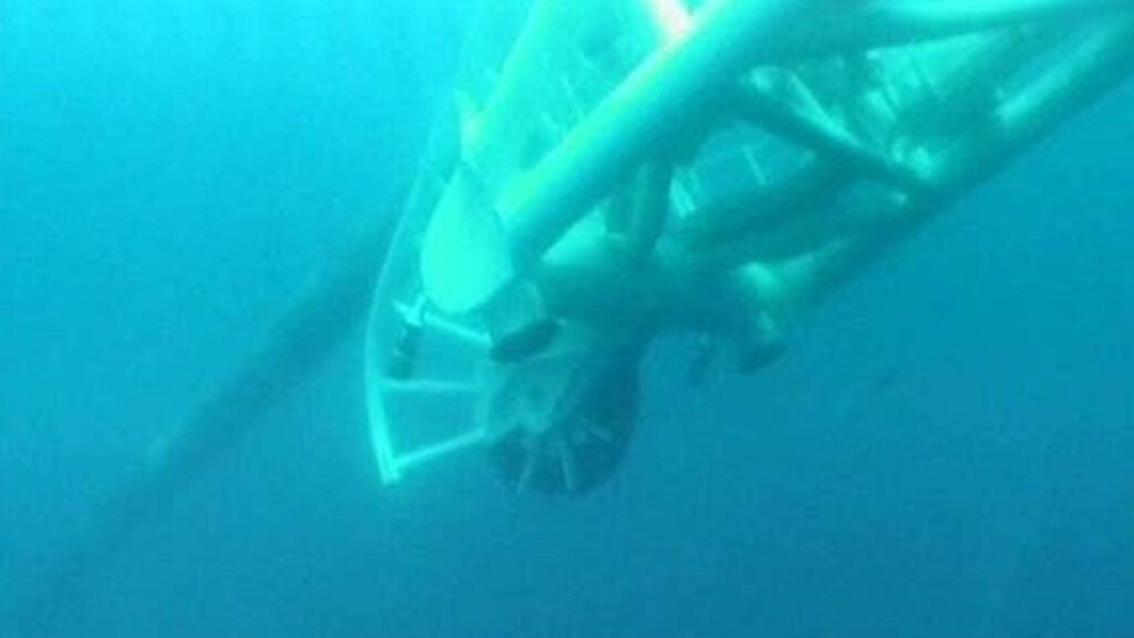
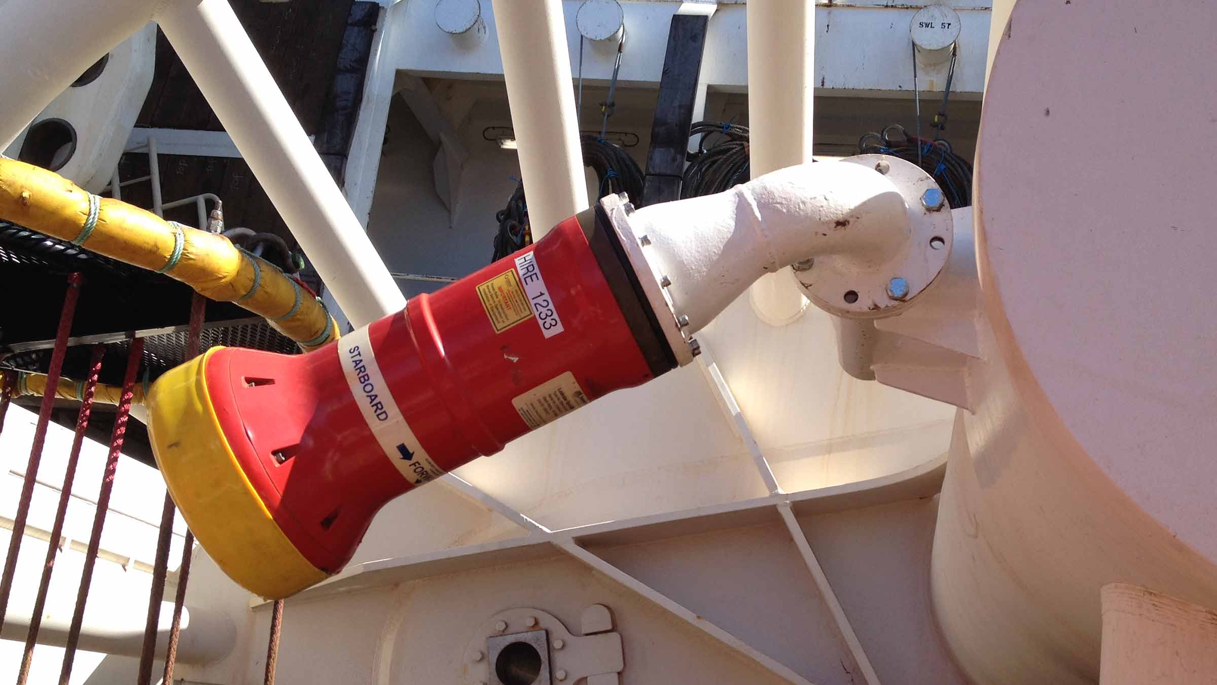
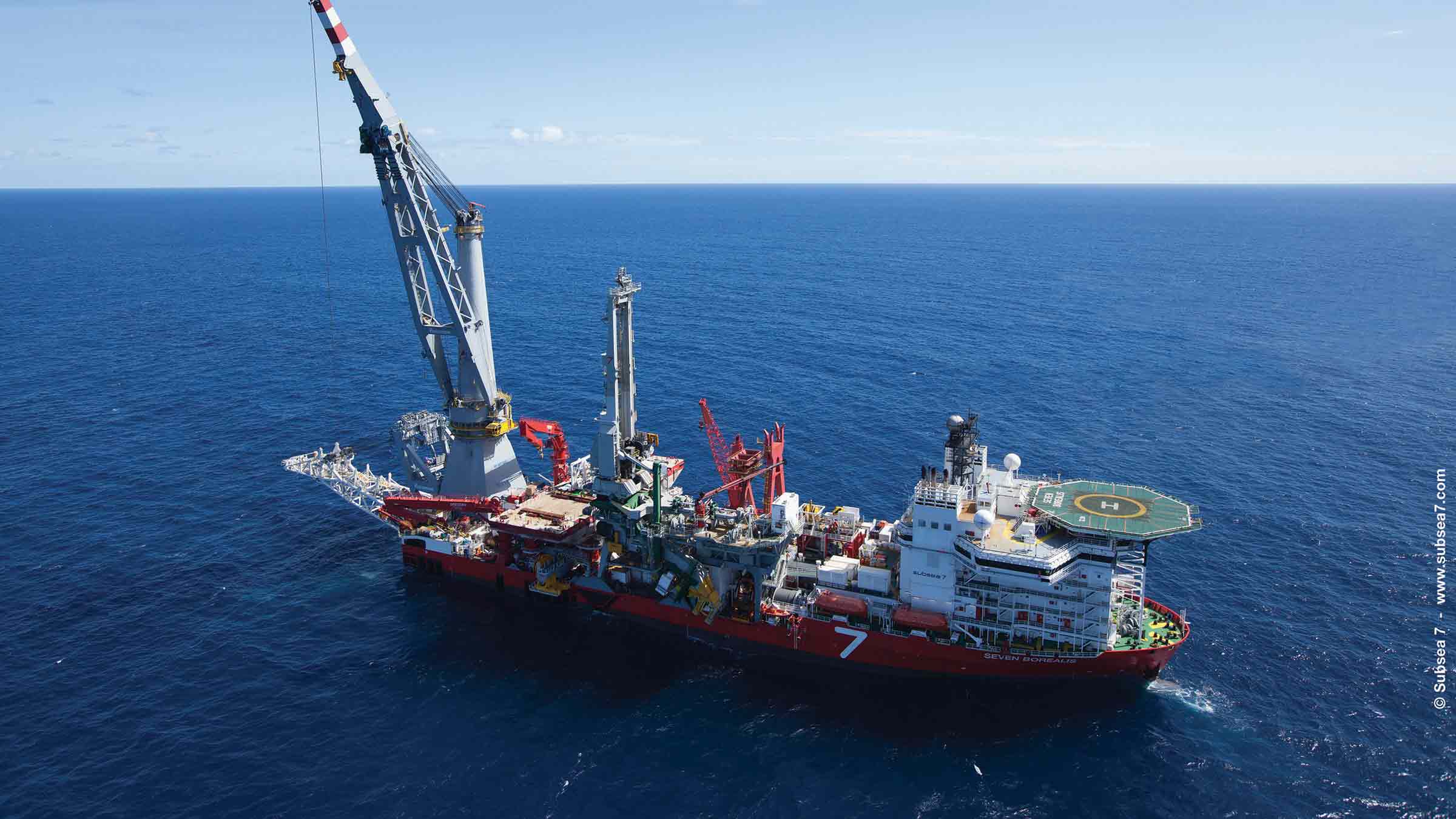
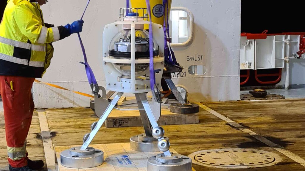
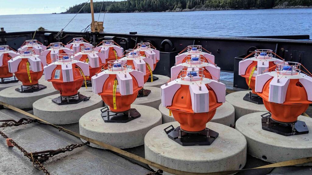
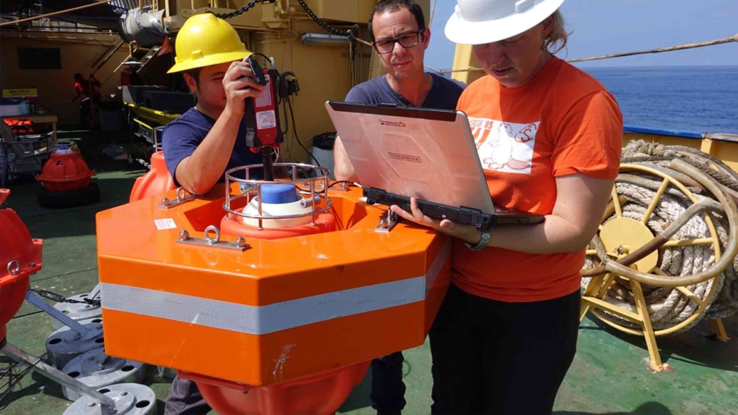
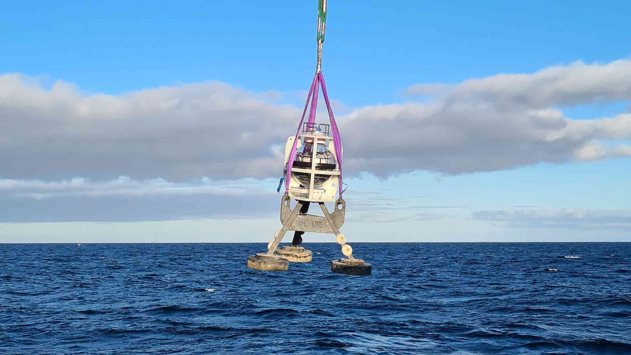
One billion cubic feet of seawater, 360° of coverage, one Sentry.
Key benefits
- Developed from our field proven detection, localisation and classification sonar technology
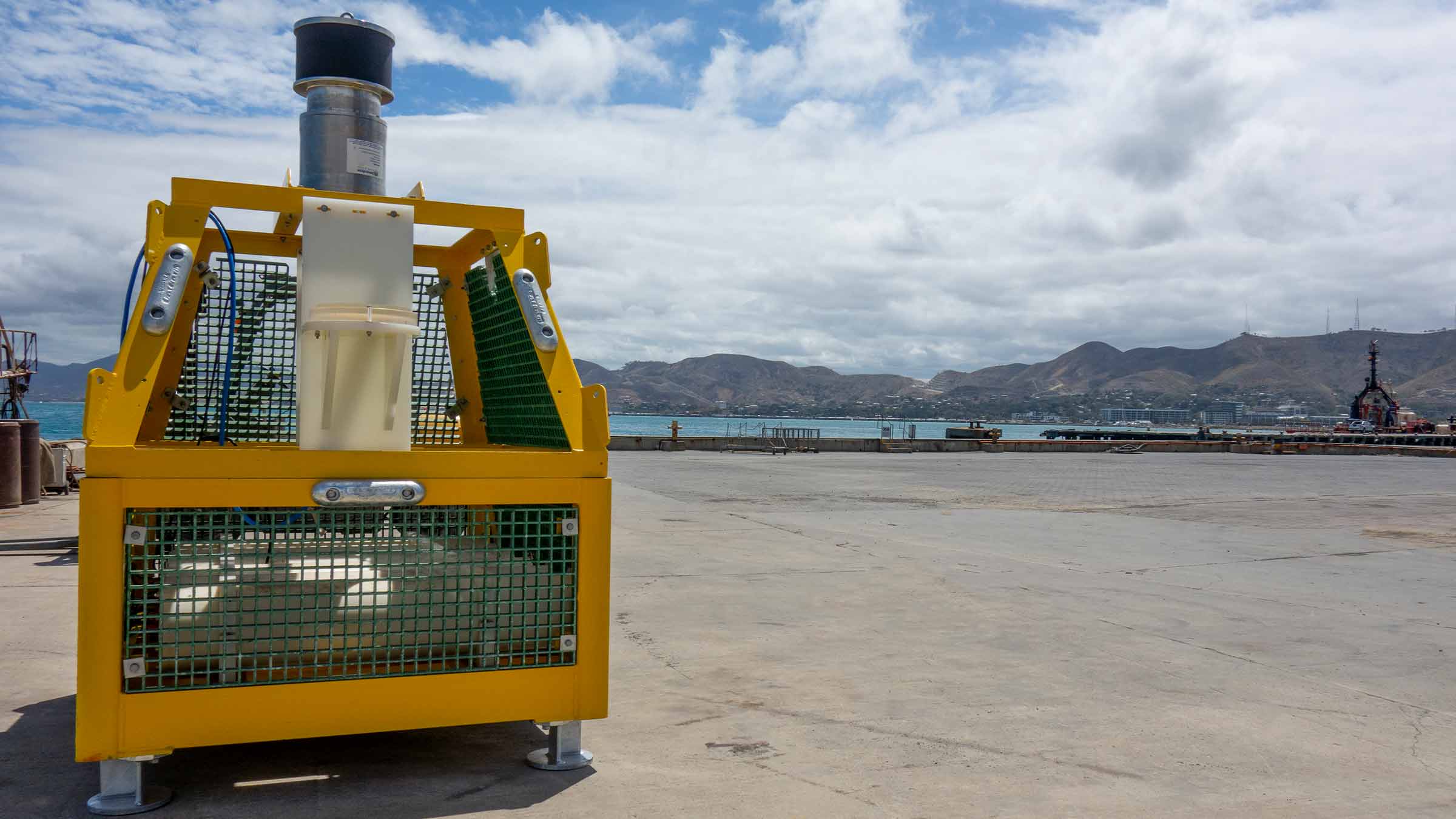
- Provides 360 degree, high volume coverage from a single location; sensitive to small leaks at ranges of over 500 m
- Low false alarm rate; automated operation – no need for constant supervision
- Localises integrity breaches at the time of detection
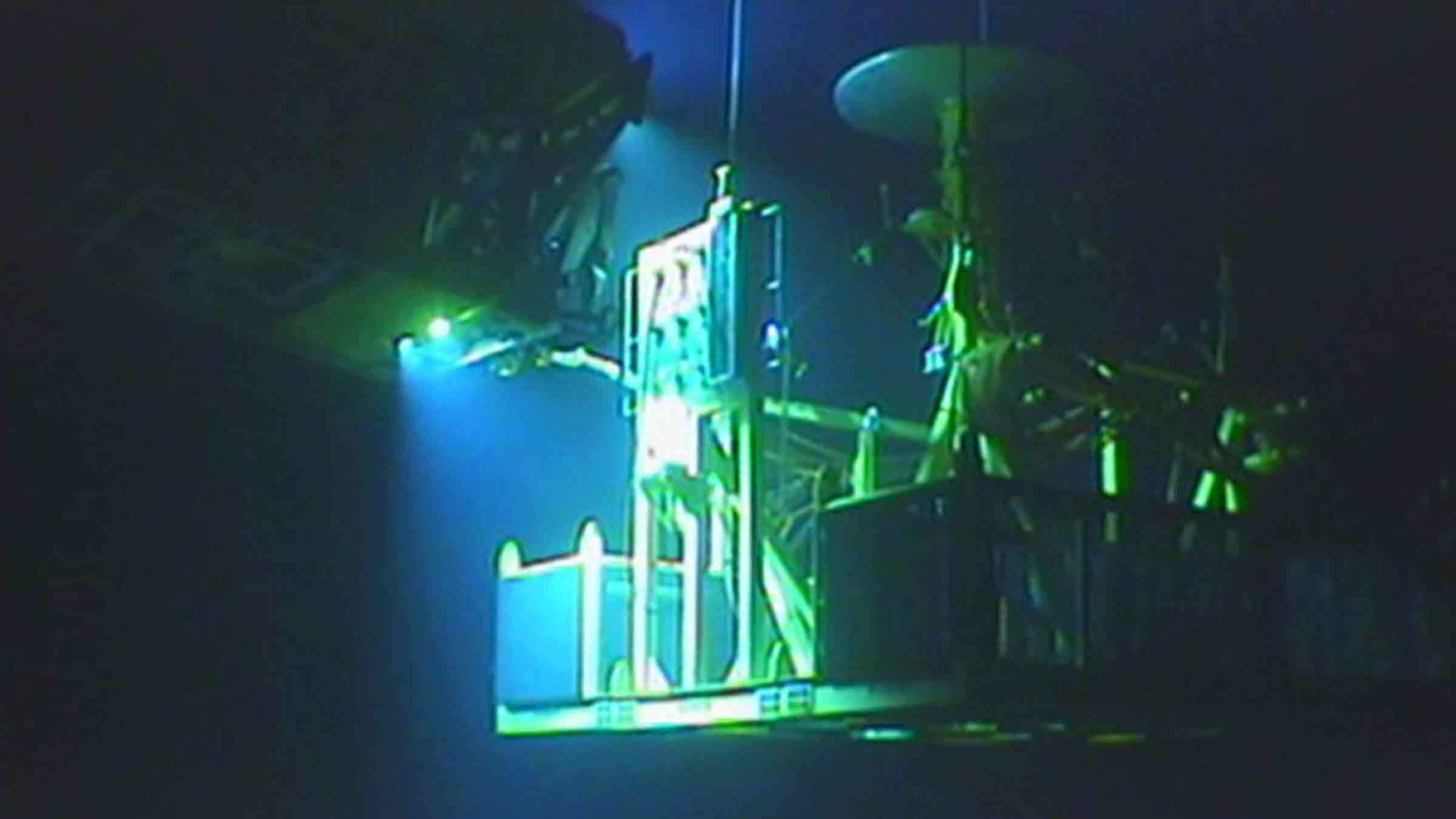
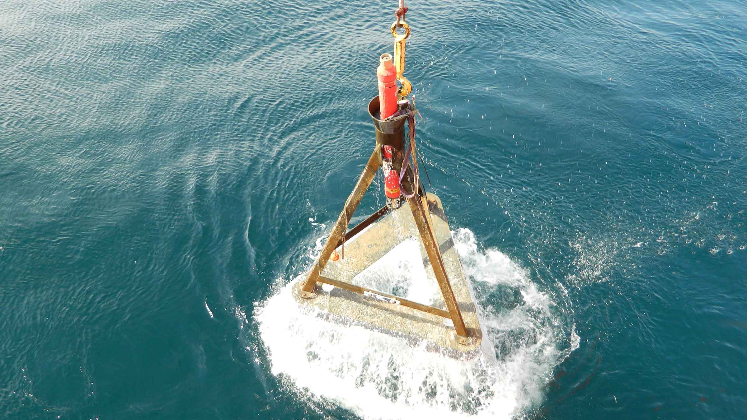
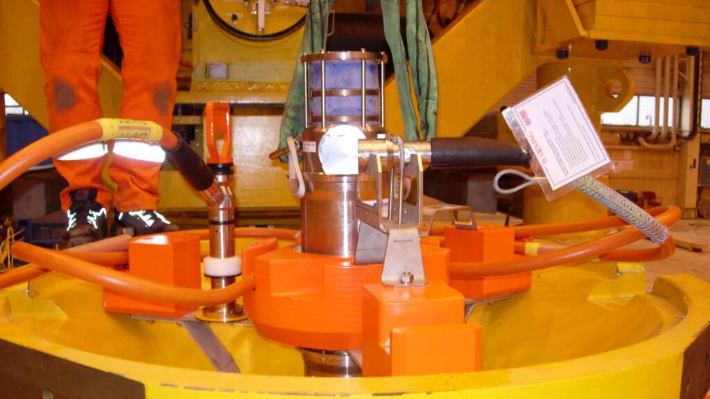
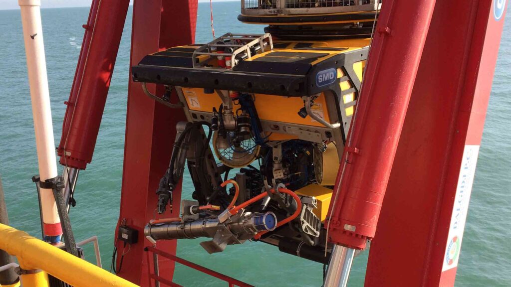
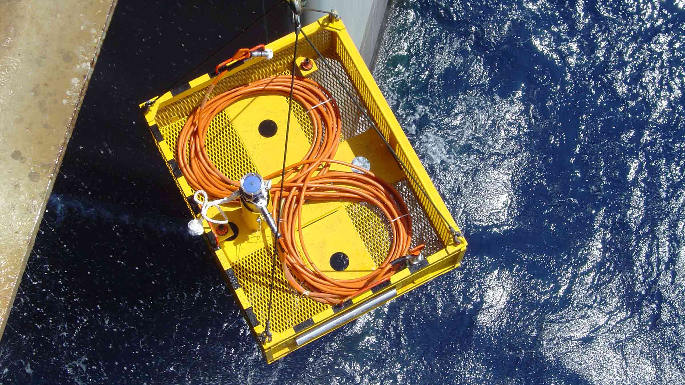
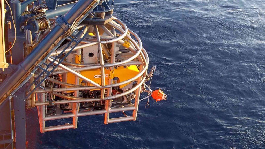
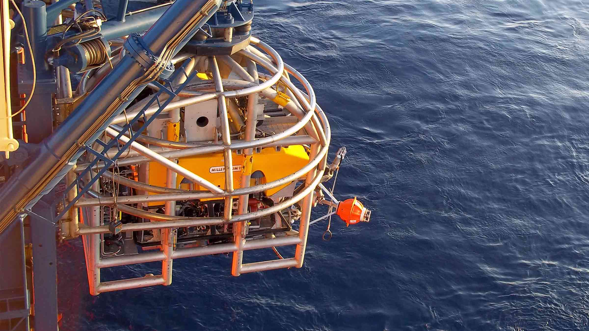
- ROV deployable and recoverable; perfect for short monitoring projects
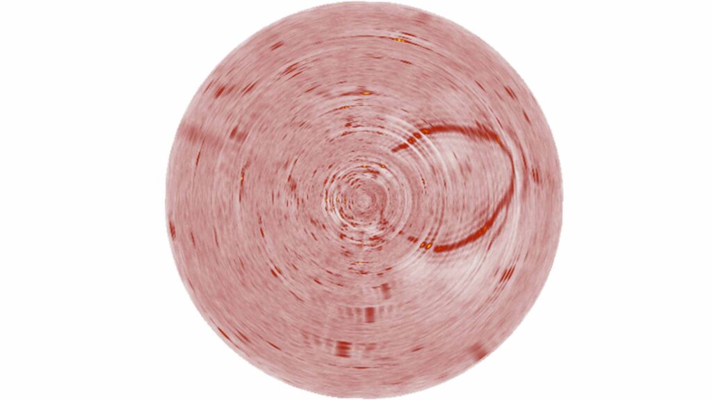
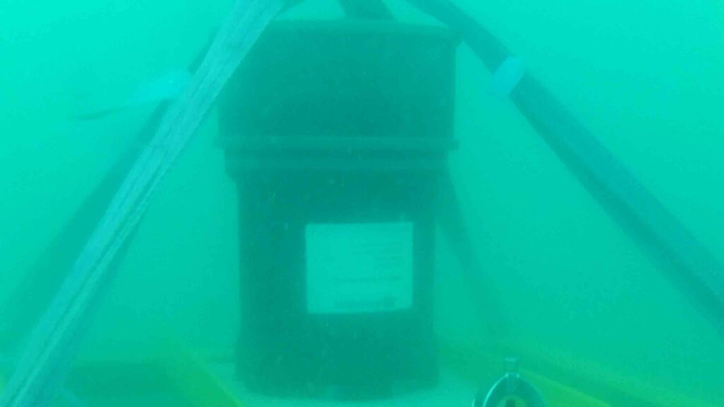
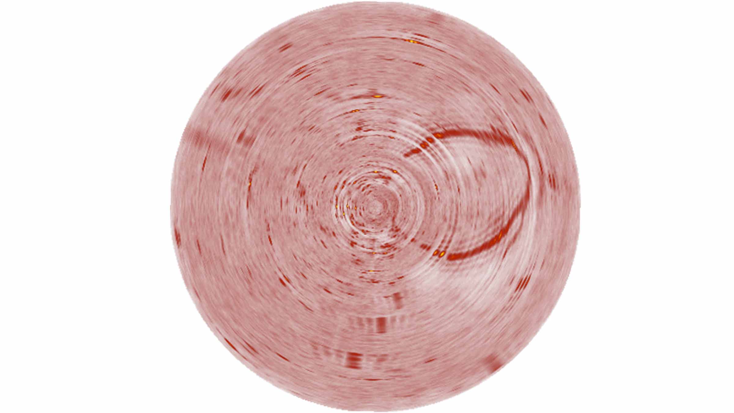
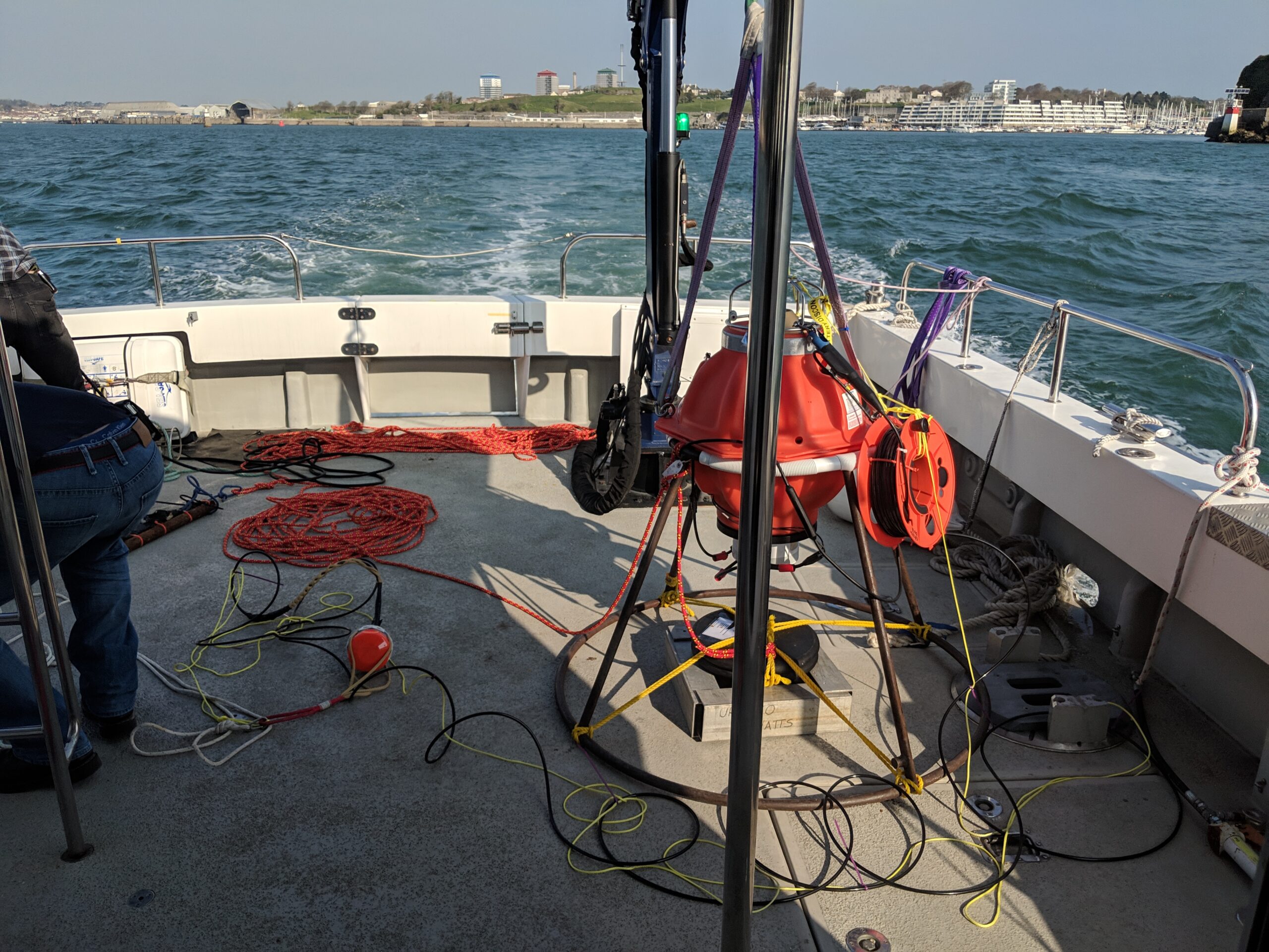
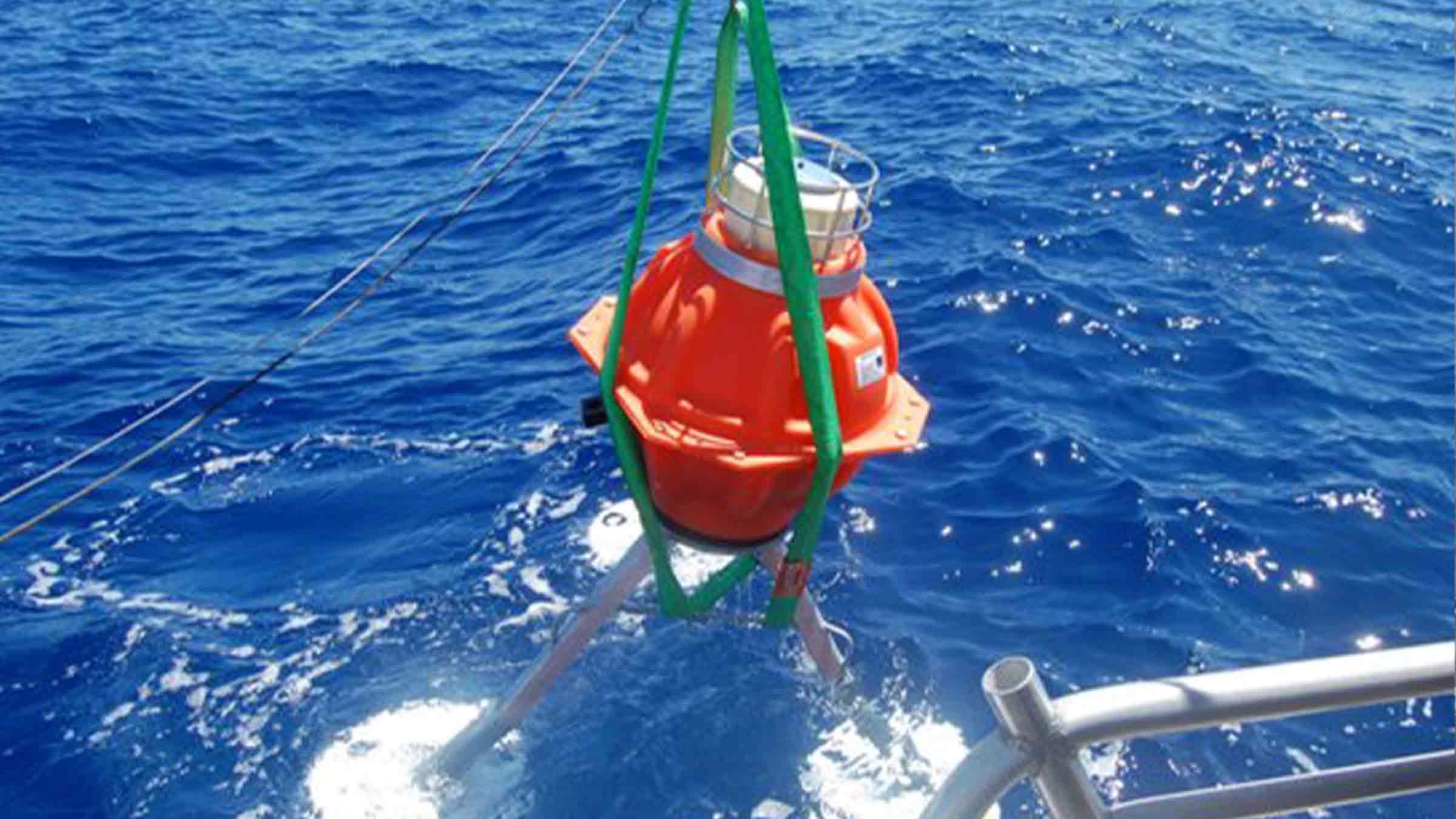
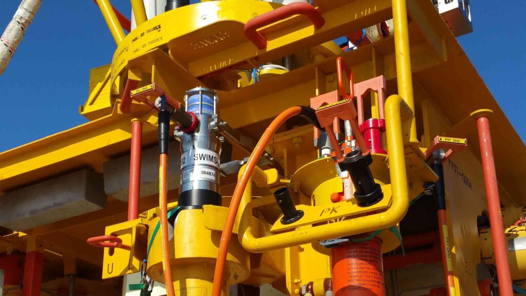
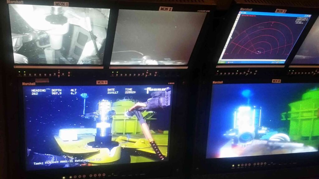
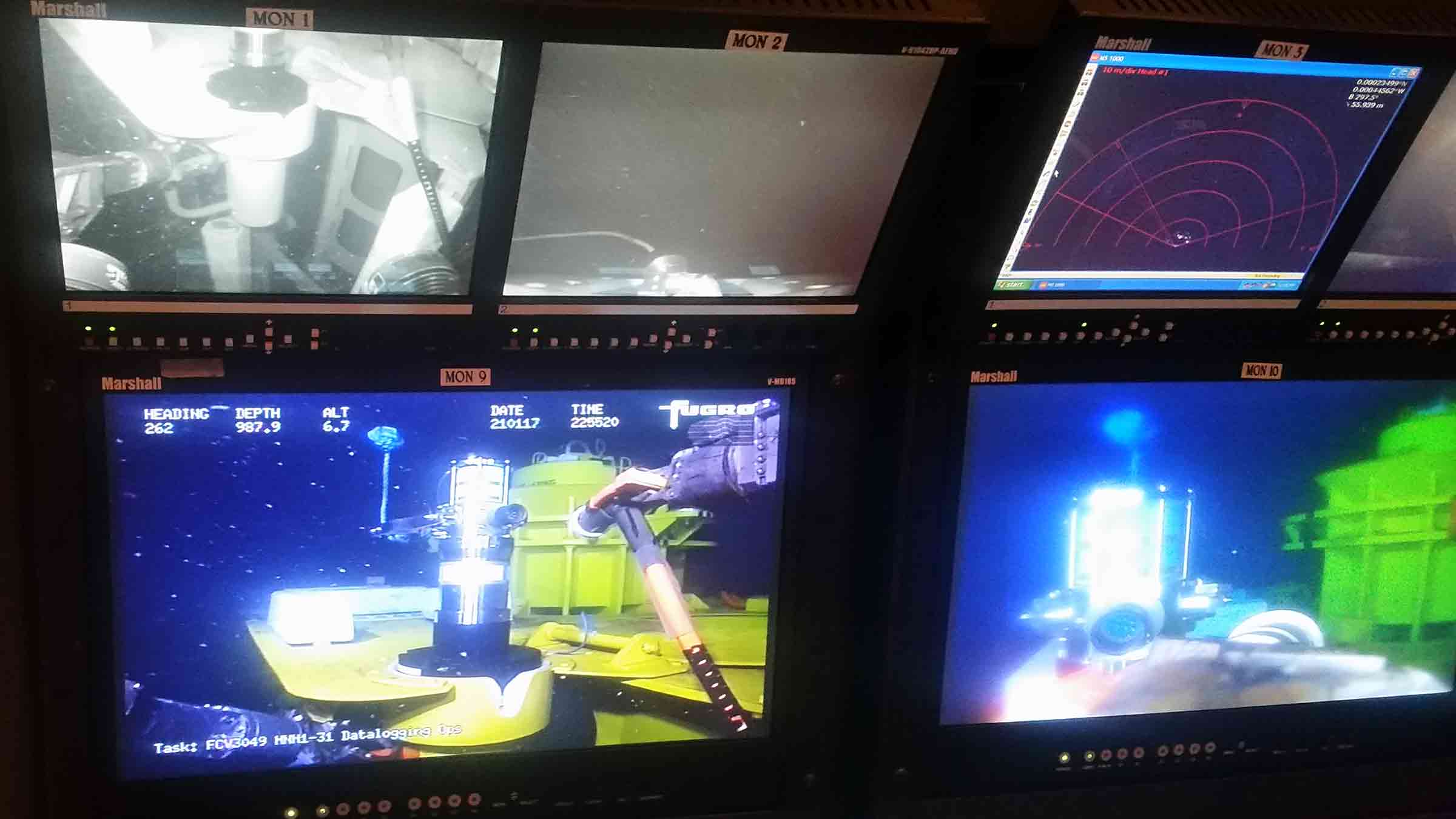
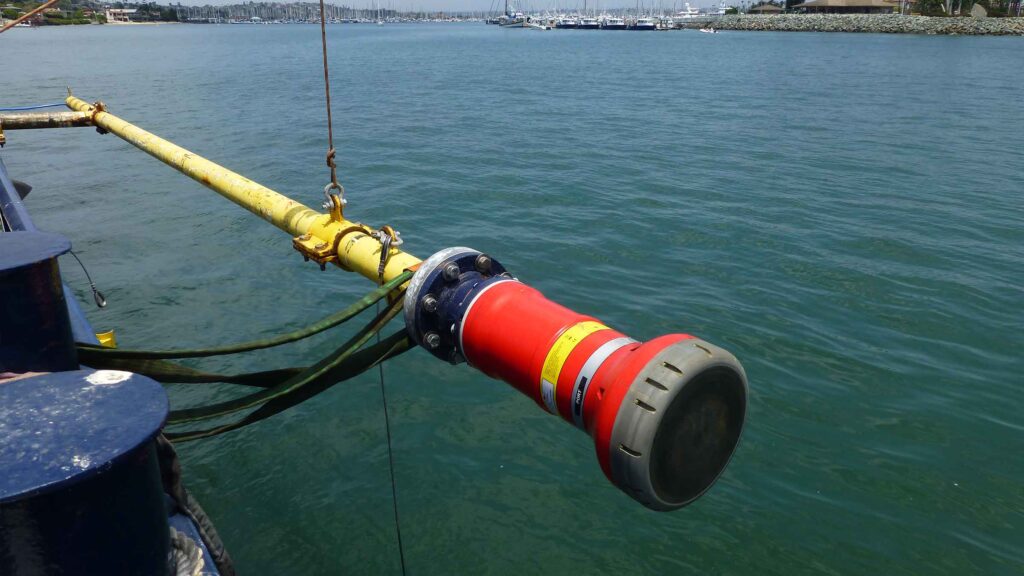
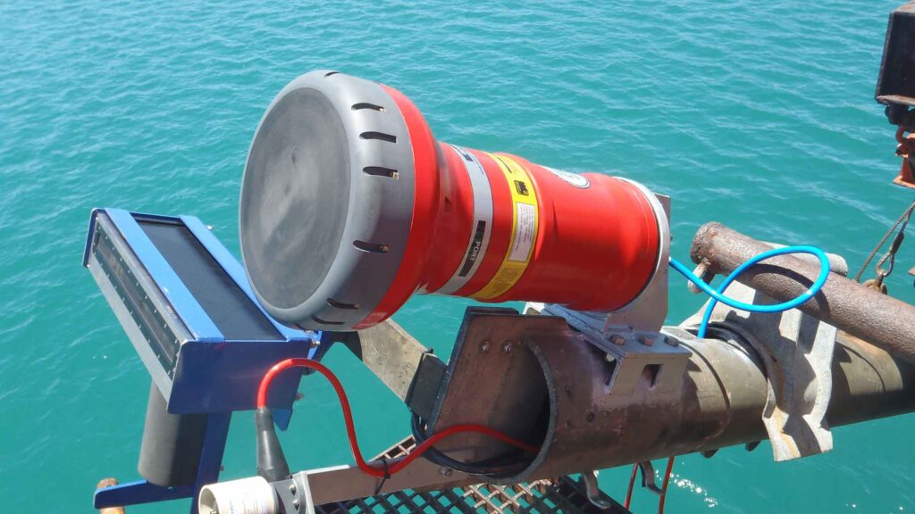
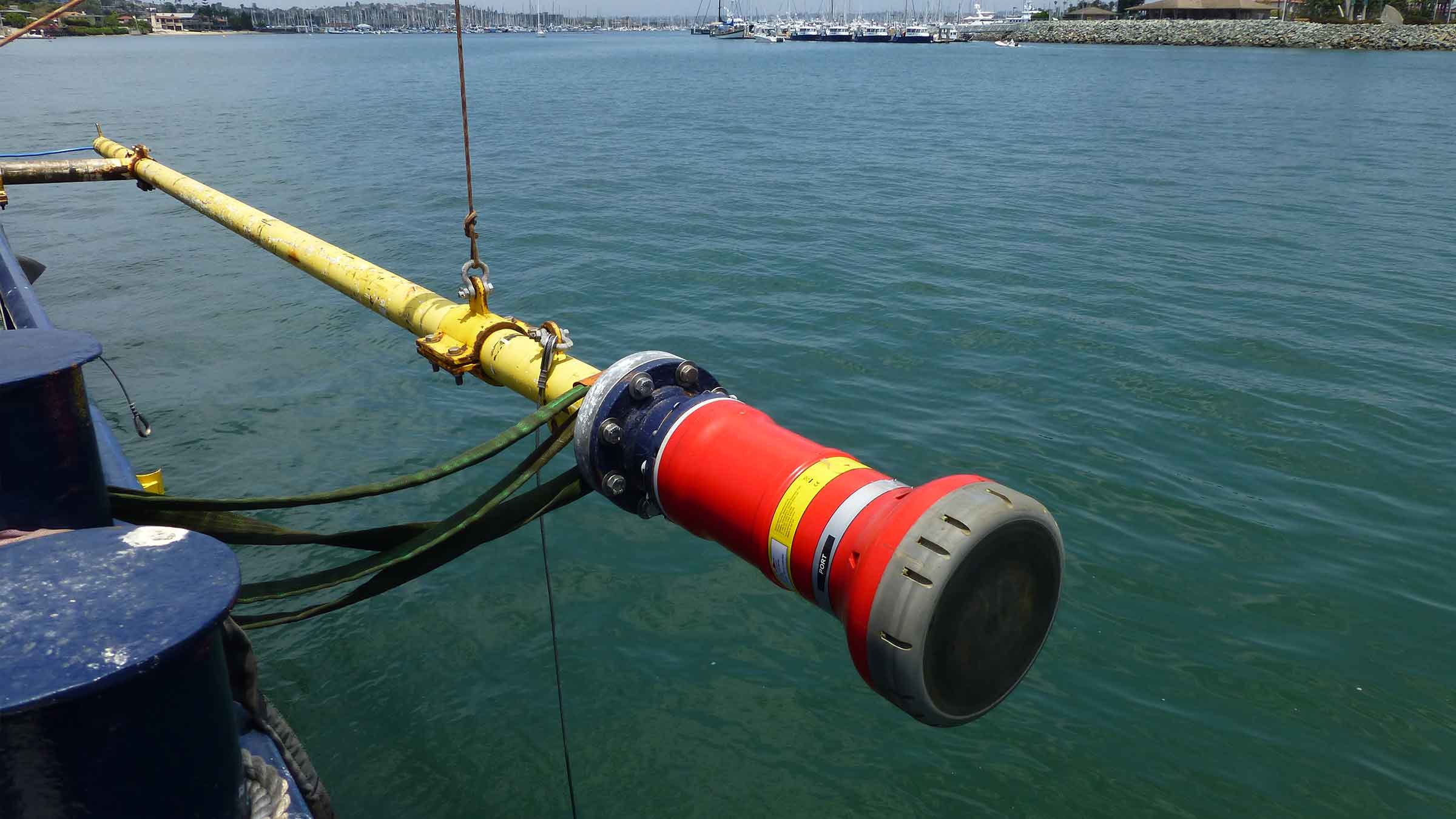
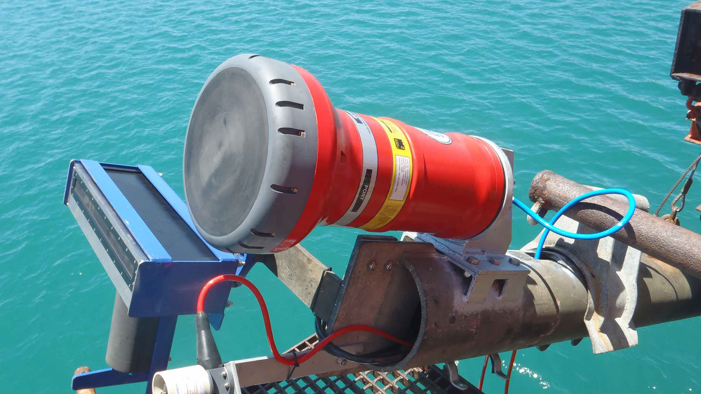
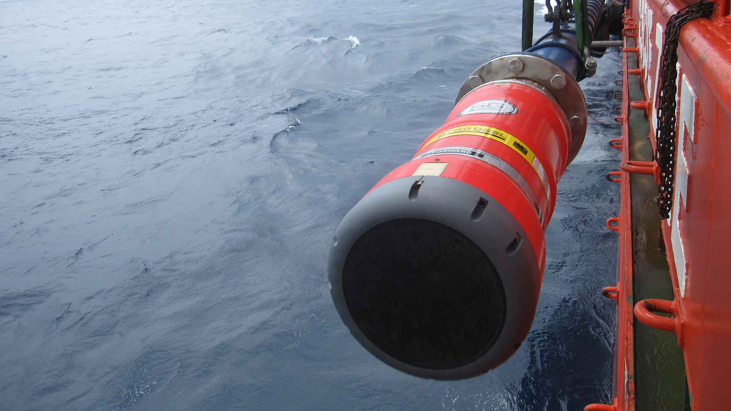
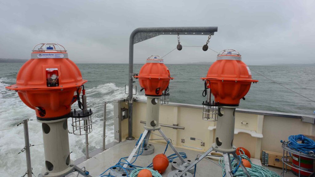
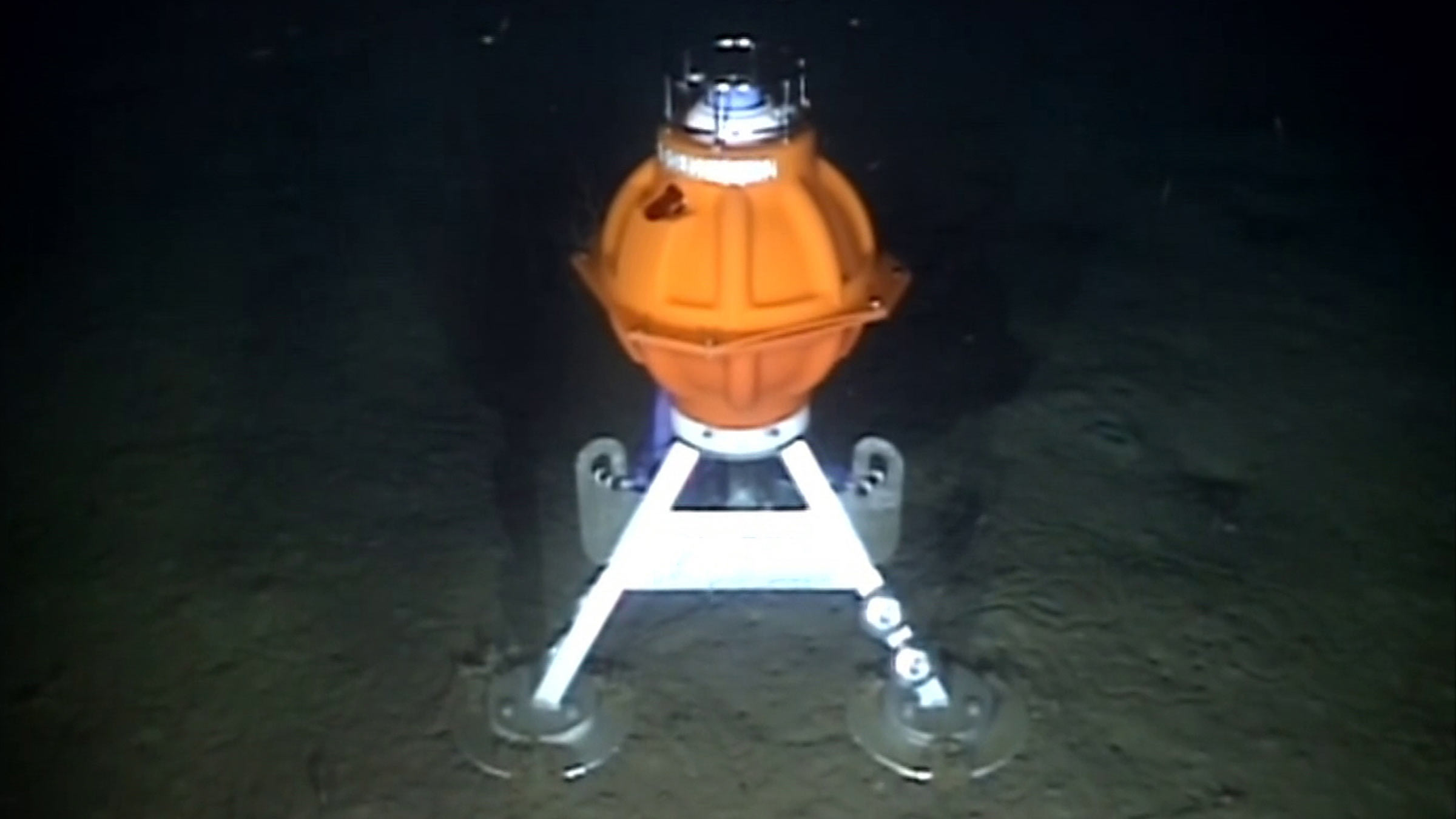
Sentry is the answer to your subsea monitoring challenges. It is an active sonar which works by projecting a short-duration high-bandwidth pulse into the water and listening for echoes from any objects such as structures, ROVs or hydrocarbon leaks. The system is fully automated. If a hydrocarbon discharge is detected, it raises the alarm. Data on the leak position is displayed and automatically transmitted to your remote onshore monitoring stations. Multiple users can access and update the system remotely, allowing you to make best use of your time and resources. It is suitable for:
- Environmental surveys
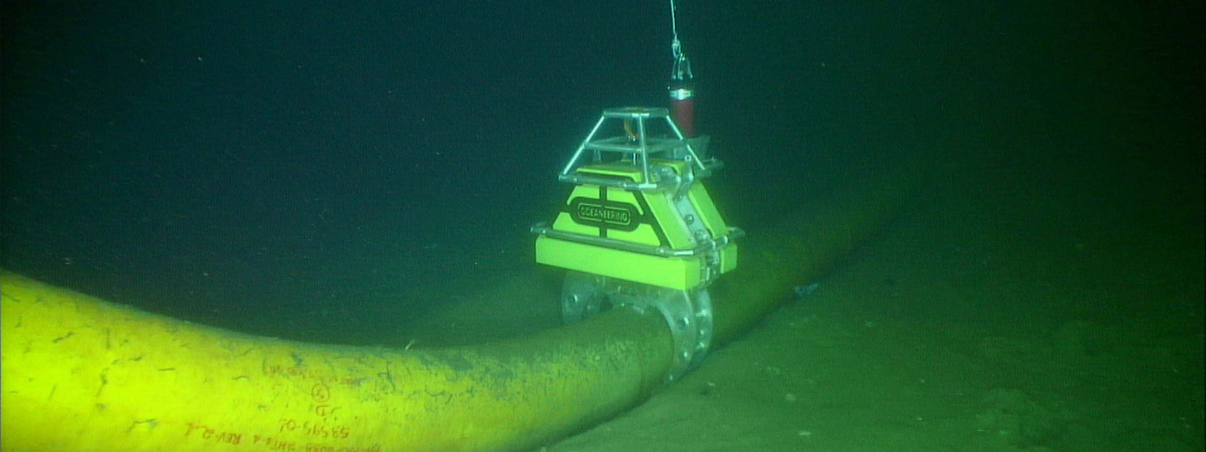
- Pipeline and spool piece monitoring
- Leak detection
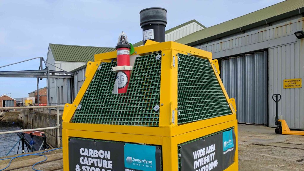
- Carbon capture and storage
- Automatic, wide-area leak monitoring
Active, automatic, flexible – Sentry for your asset monitoring operation needs
How it works
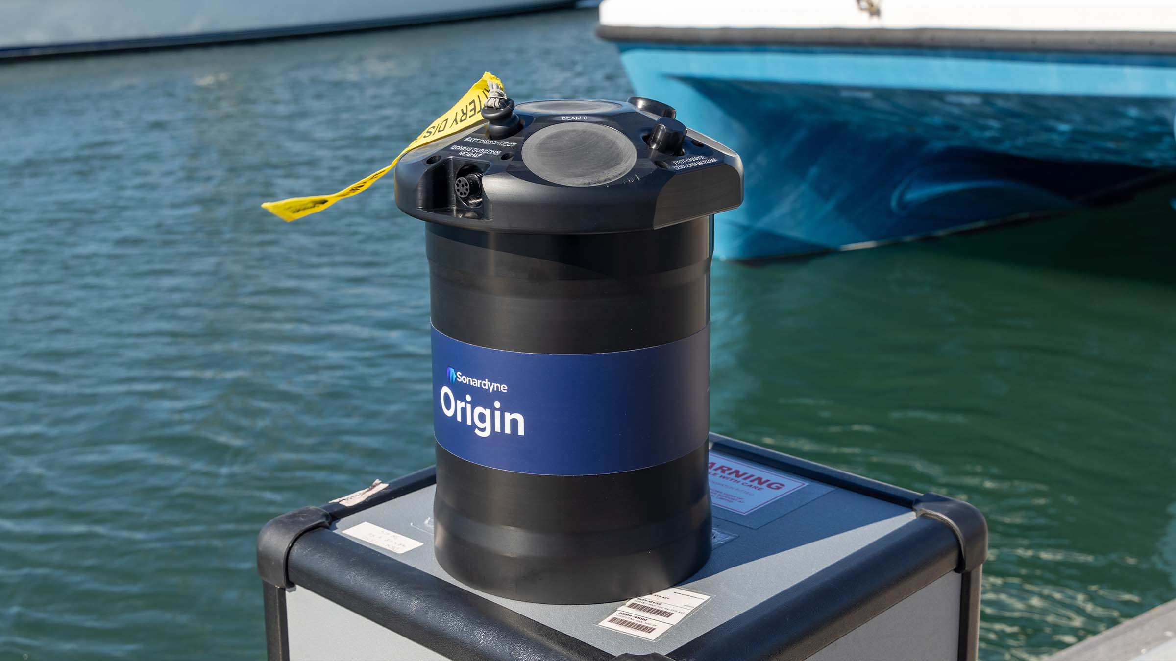
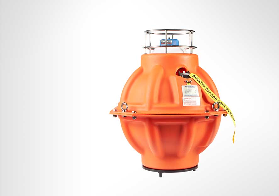
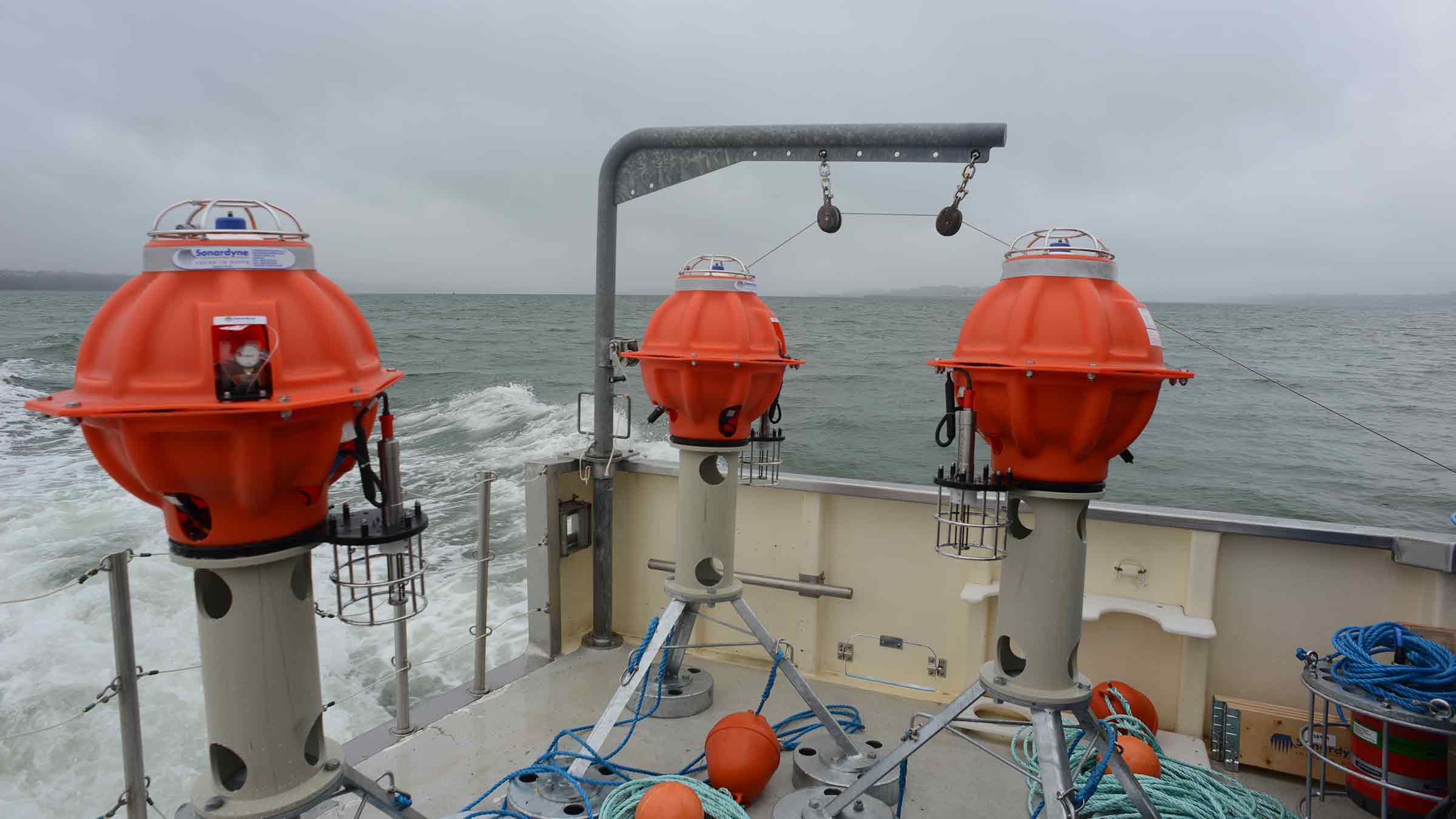
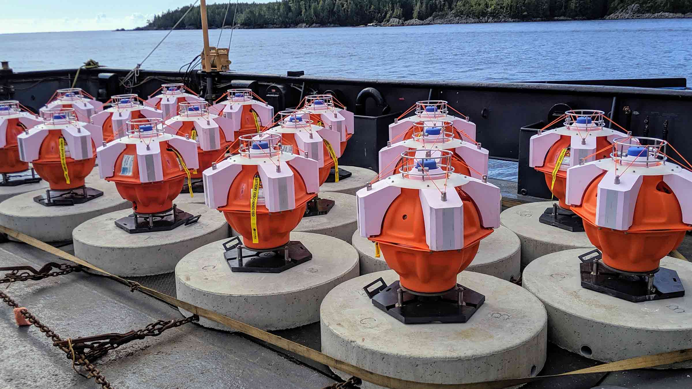
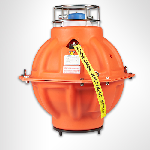
Designed by our sister company Wavefront Systems, manufactured and commercialised by Sonardyne, Sentry covers a 360° field of view, with a detection coverage radius up to 1,200 m and is capable of monitoring over one billion cubic feet of seawater. It can detect leaks of monophase gas down to 0.1 litre per minute (equivalent to around 1 barrel of oil per day) or monophase oil to 1 litre per minute (equivalent to 10 barrels of oil per day).
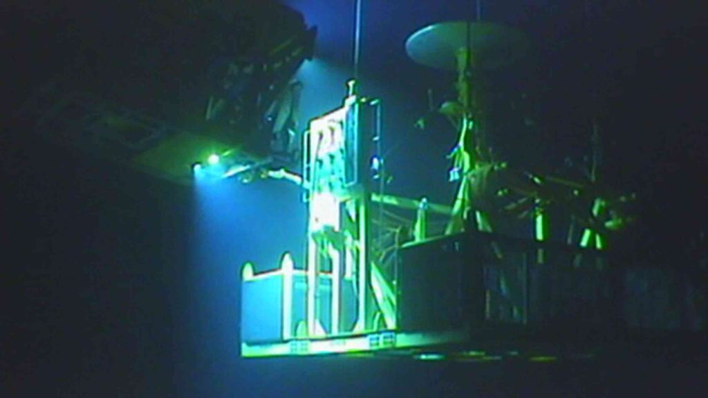
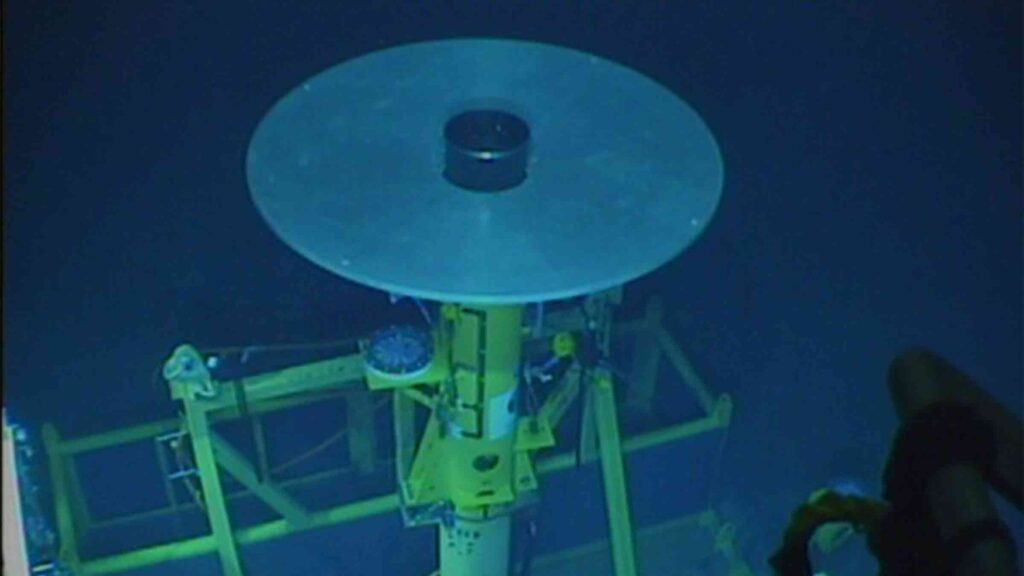
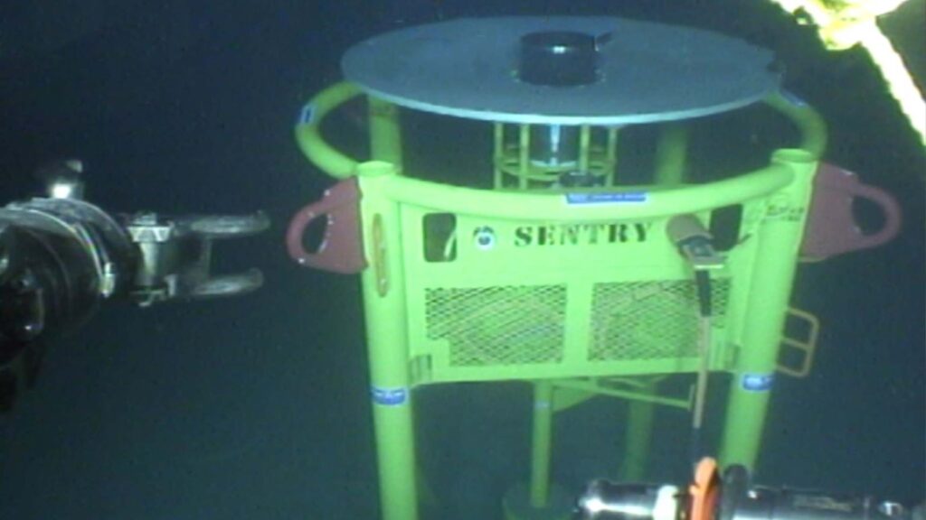
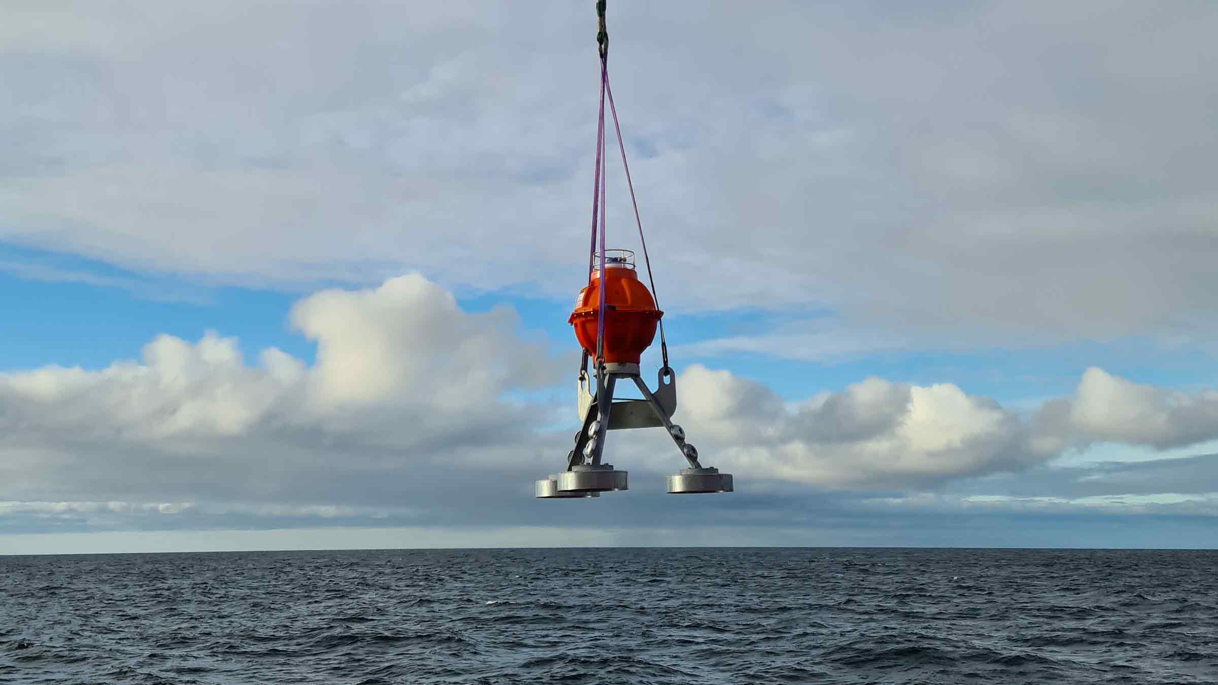
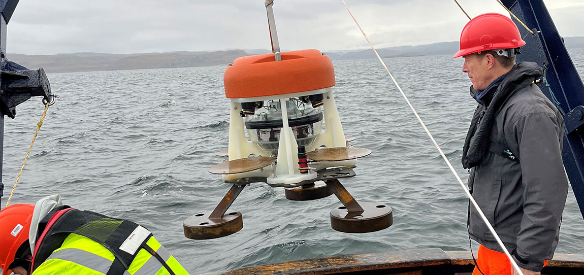
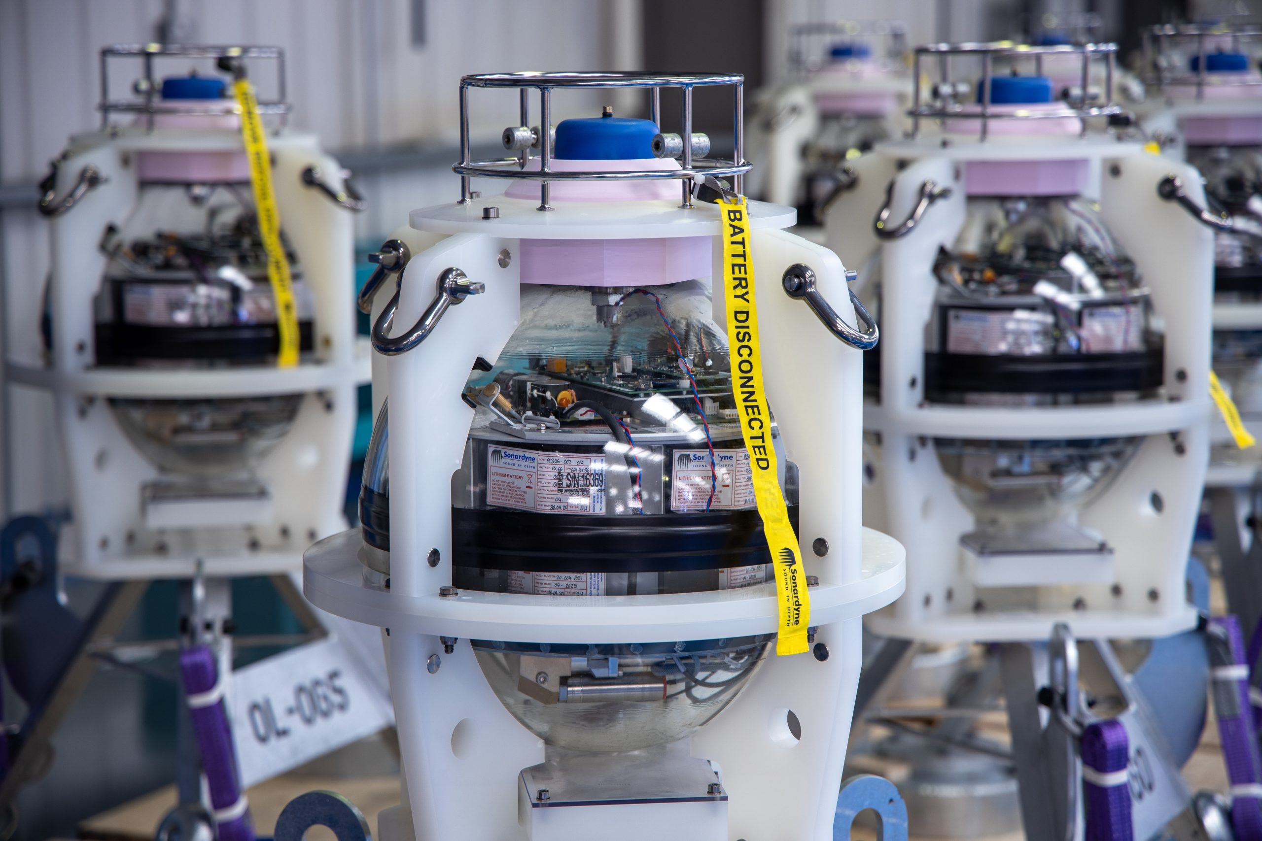
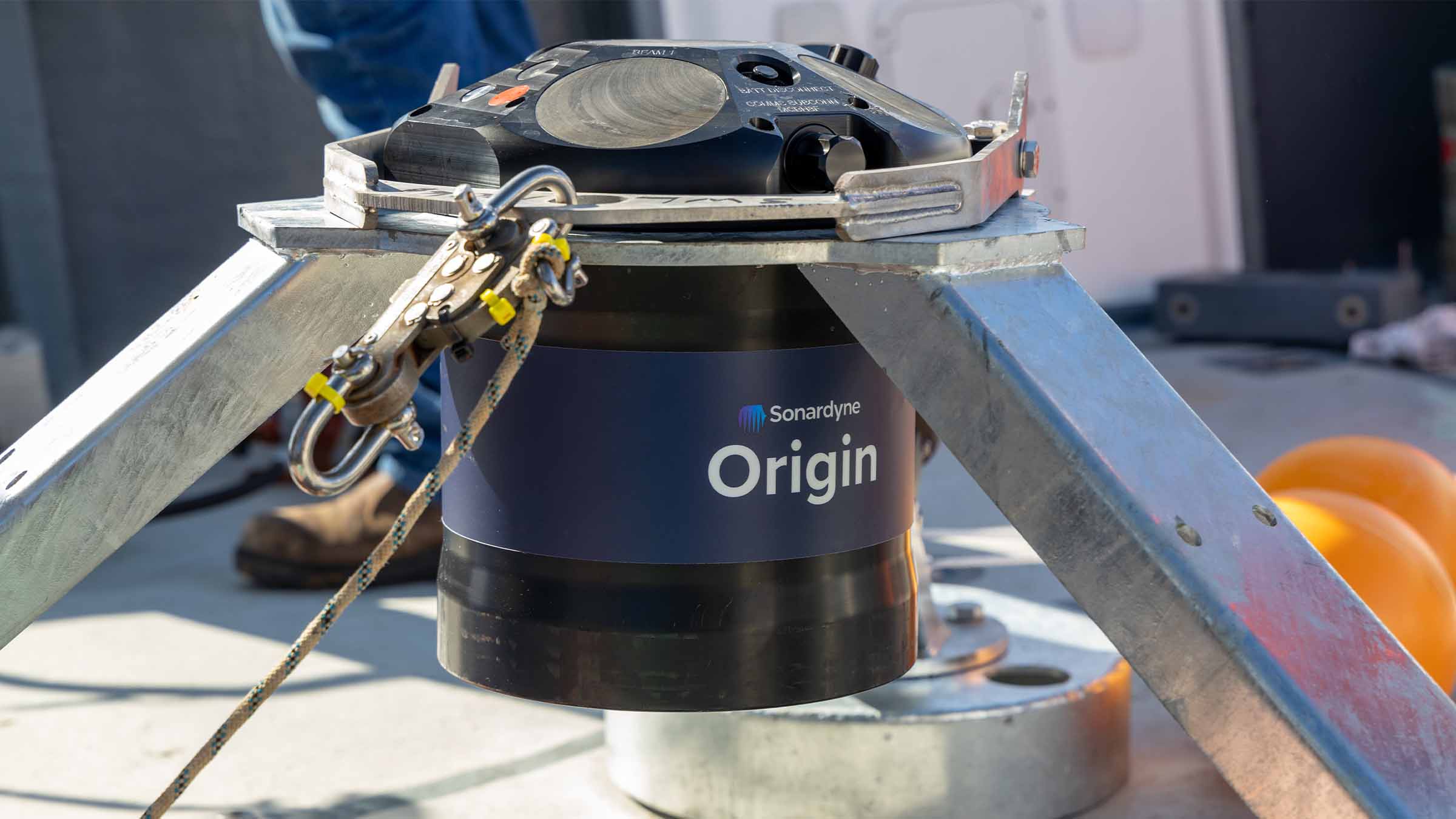
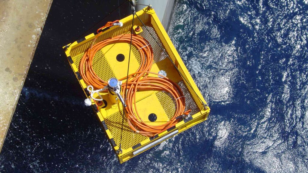
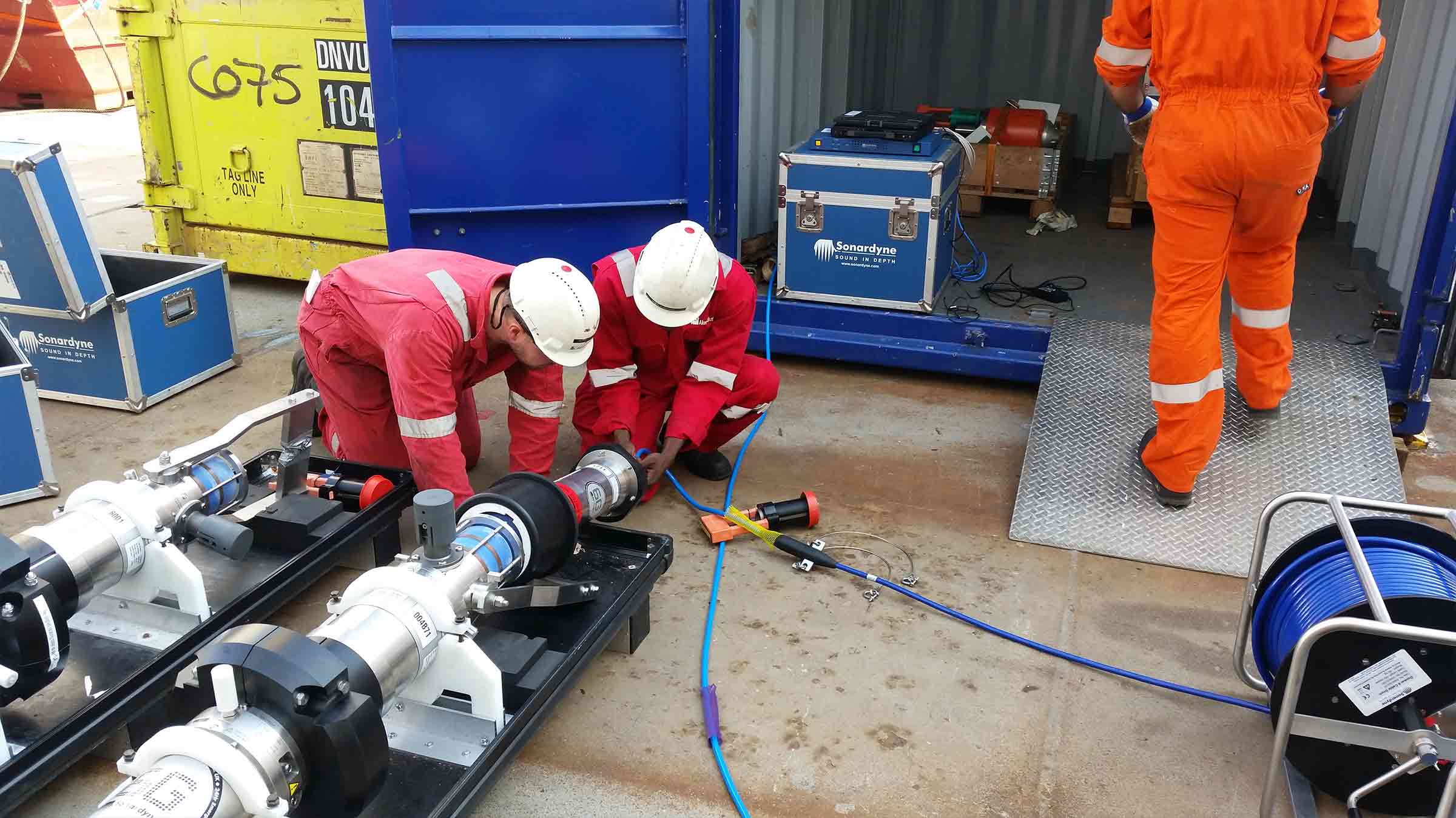
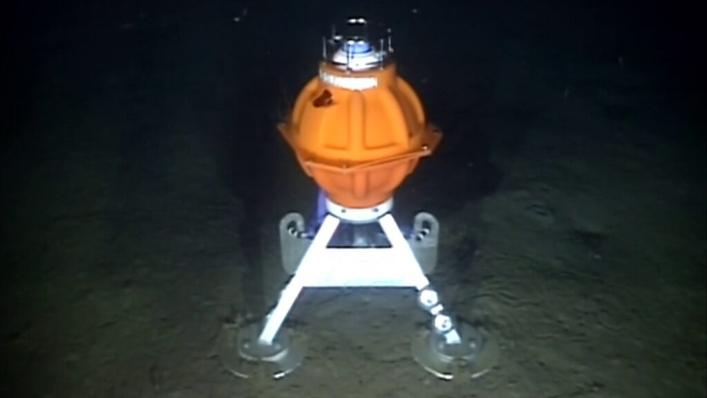
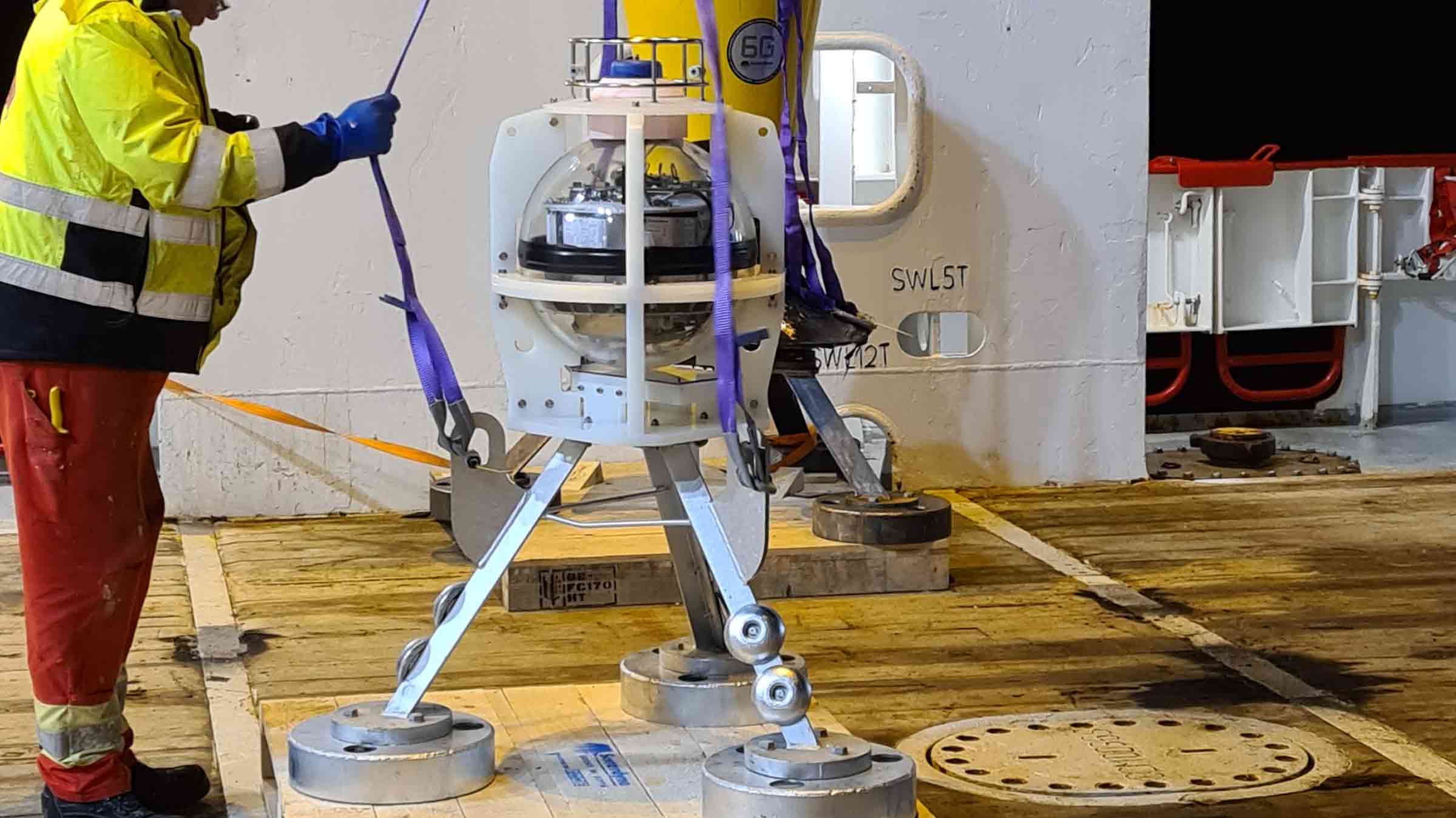
Wired and battery-powered configurations of Sentry IMS provide flexibility in how and when you can use the system. Mounted on a lander, Sentry-W connects into your asset’s existing power and communication seafloor infrastructure. It will run autonomously, providing alerts to your remote operations centre only when its on-board processing has determined a positive detection and classification of a leak.
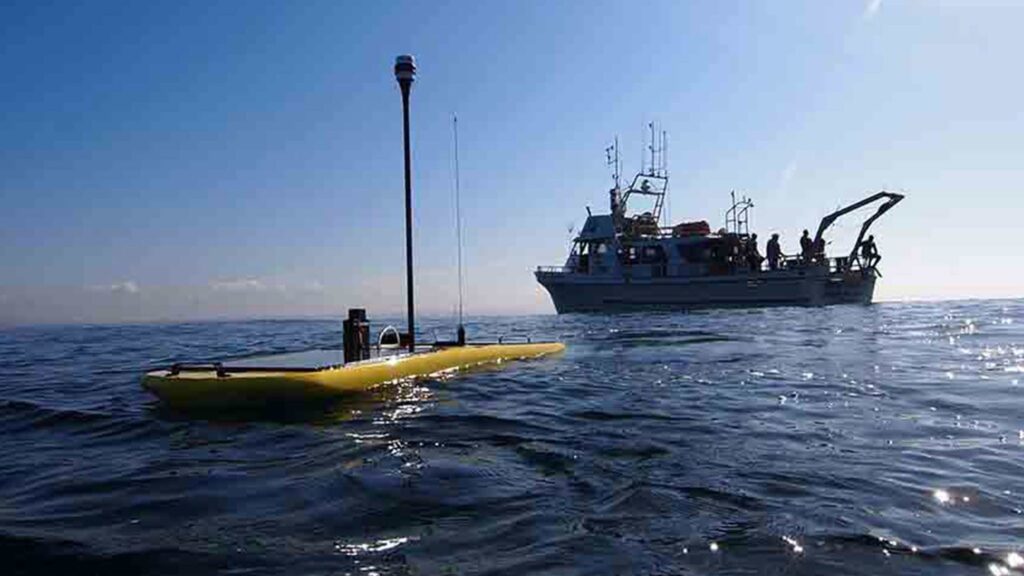
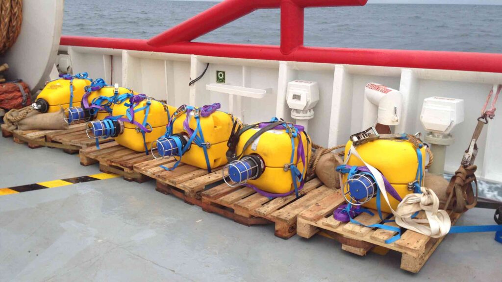
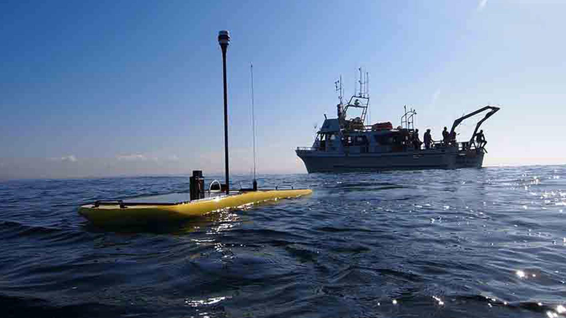
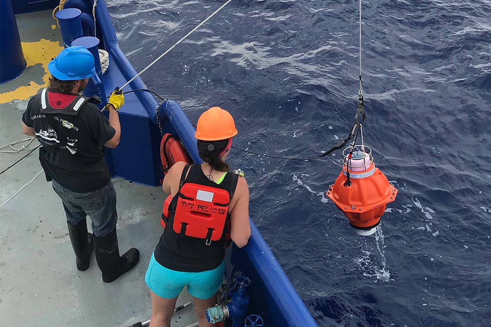
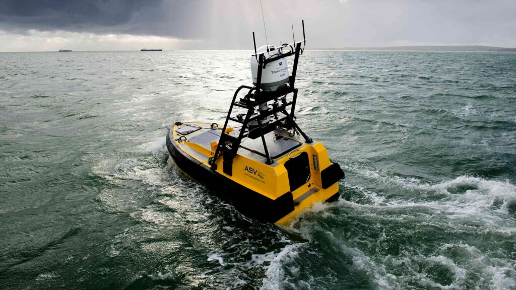
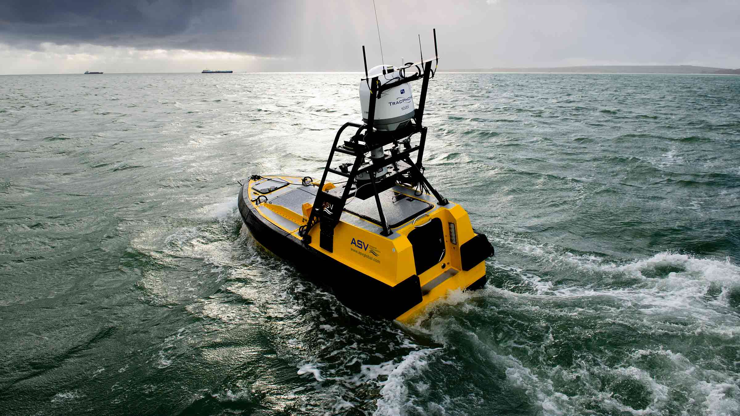
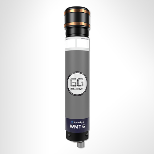
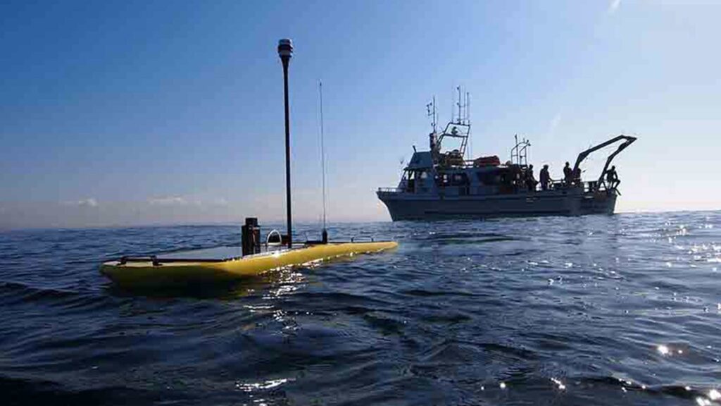
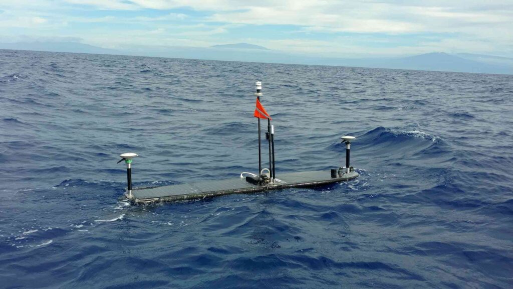
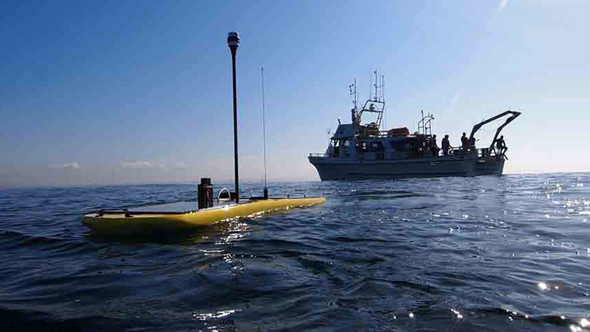
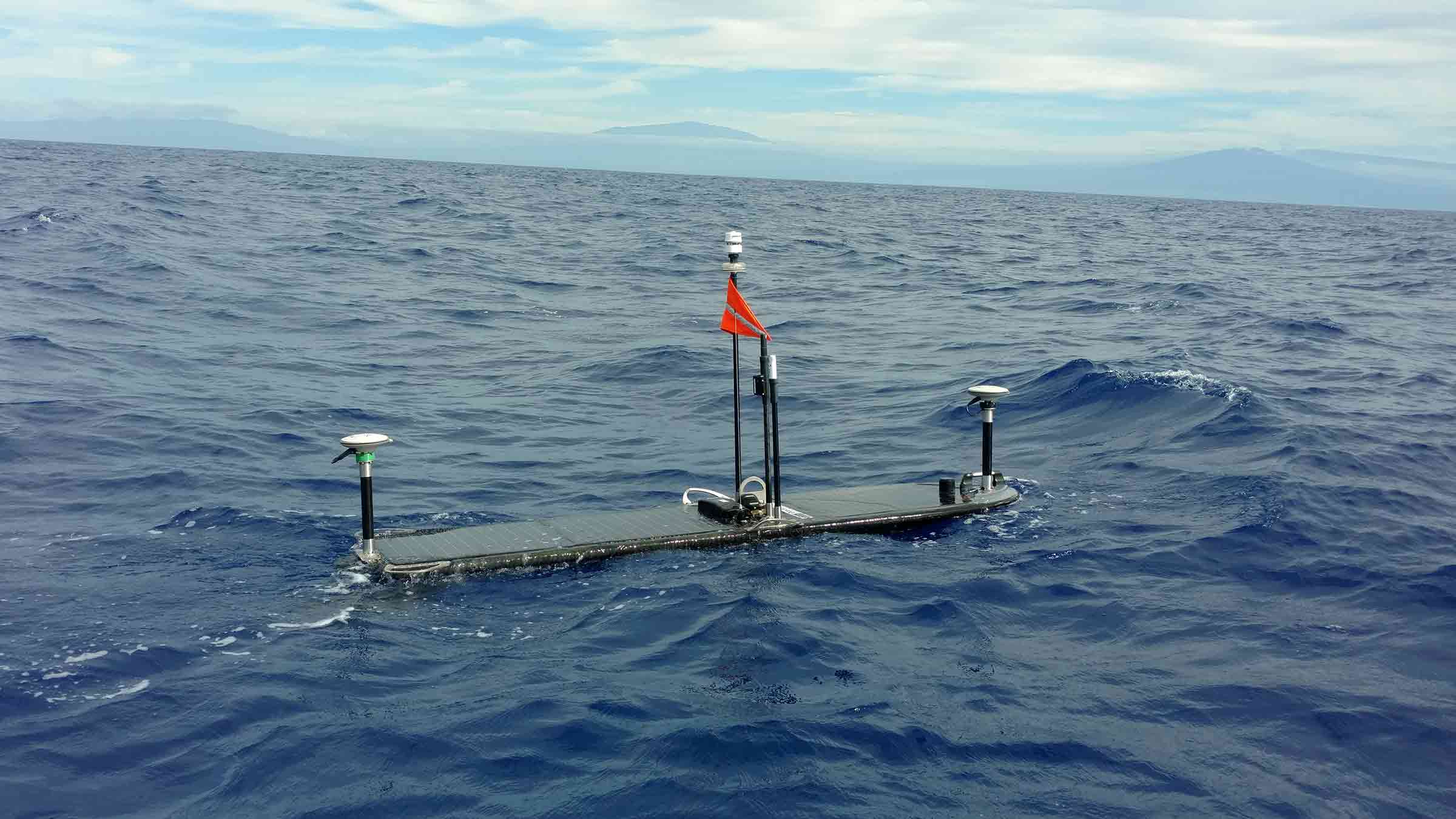
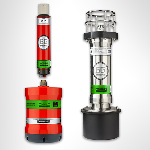
Where no infrastructure is available, Sentry-B (a standalone battery operated system) can be lander-deployed, complete with subsea data processing, close to your assets. At pre-set intervals, or when a leak event is detected, summary data is transmitted using a 6G acoustic modem to a surface transceiver for onward transmission to your remote operations centre. Surface transceivers and satellite communications systems can be mounted on a moored buoy, integrated into an unmanned surface vehicle (USV), or fitted to any other surface asset.
Common applications
CCS site monitoring
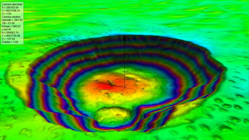
Containment failure at an offshore carbon capture and storage (CCS) site, while highly unlikely, is of significant concern to regulatory bodies, operators and environmental groups. We have developed the capability to detect and monitor any leakage at high risk locations combining Sentry sonar and chemical sensors on a lander to deliver sensitive and reliable automated leak detection capability across wide areas.
Speak to us about your CCS requirements.
Offshore hydrogen production and storage site monitoring
As we transition towards a net zero world, hydrogen is set to play a larger role in our energy system. This includes offshore production and then transport via pipeline to shore. It may also include underground storage, including in sites offshore, similar to how natural gas has been stored. Containment monitoring and asset integrity assurance are just as important here and Sentry provides an ideal solution. Contact us to find out more.
Need mobile, more targeted monitoring over distance?
For inspecting greater lengths of subsea assets, such as your trunk pipelines, our compact yet high-performance Solstice side scan-sonar containing powerful automatic target recognition (ATR) algorithms can be integrated into an AUV to provide detection and location of any containment losses of oil or gas. Find out more here.
CCS case studies
Rapid leak detection for subsea production and storage sites
Read moreDeepwater data analytics – asset monitoring at the edge
Read moreHow to optimise carbon storage monitoring with marine robotics
Read morePerformance
• Monitor 1 billion cubic feet of water with one sonar head
• Depth rated to 4,000 m
• 360 degree coverage from a single point
• Low false alarm rates
Design
• Wired and battery-powered Sentry IMS options
• Active sonar – always listening
• Fully autonomous alarms
• Multiple sonar heads can be interfaced together to increase coverage
Typical system set up
• Sonar or multiple sonar heads
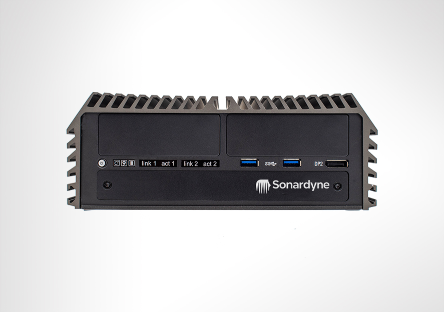
• Sonar processor (SP)
• Command workstation (CWS)
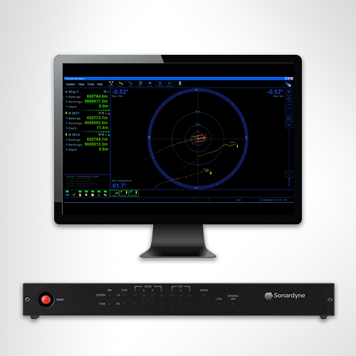
• Sentry software
Support
• Work side-by-side with our projects and applications group from concept to installation
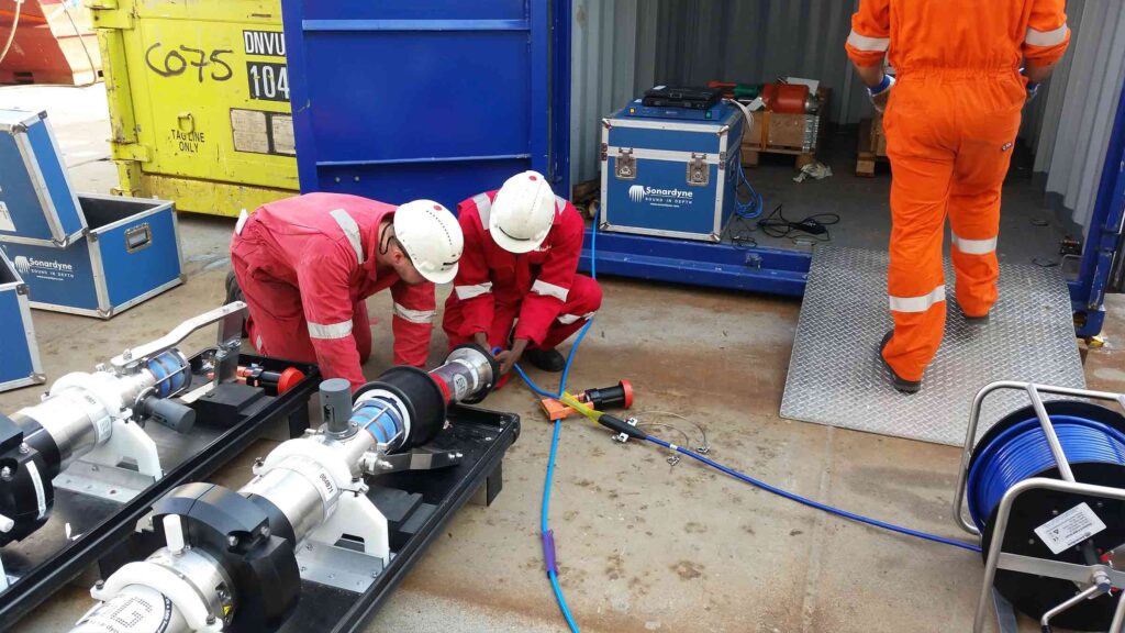
• Systems are manufactured and tested before delivery at our world-class in-house facilities
• Highly experienced field personnel can be on hand to ensure even the most complex systems are commissioned safely
• 24-hour support, whenever and wherever you are in the world
Specifications
| Feature | Type 8265-000-01 |
|---|---|
| Depth Rating | 4,000 m |
| Operating Frequency | 60 to 80 kHz |
| Source level | 206 dB re 1 µPa @ 1m |
| Pulse length | 40 ms |
| Detection range | Selectable up to 1,500 m |
| Operating Temperature | -10 to +40°C |
| Storage Temperature | -10 to +55°C |
| Dimensions (Height x Diameter) | 556 x 330 mm |
| Weight in air / water | 86 kg / 48.5 kg |
Frequently asked questions
For safer deepwater drilling
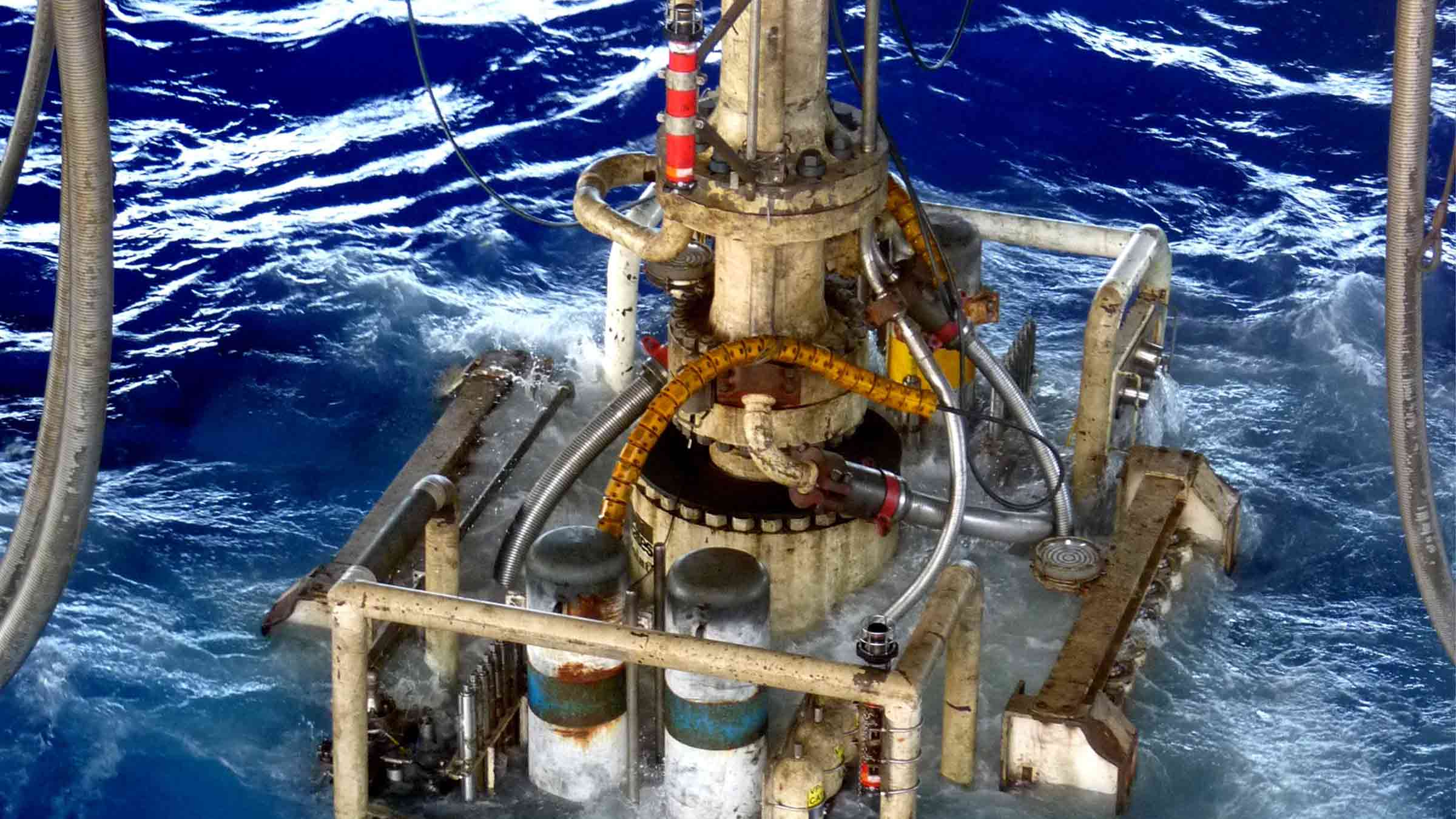
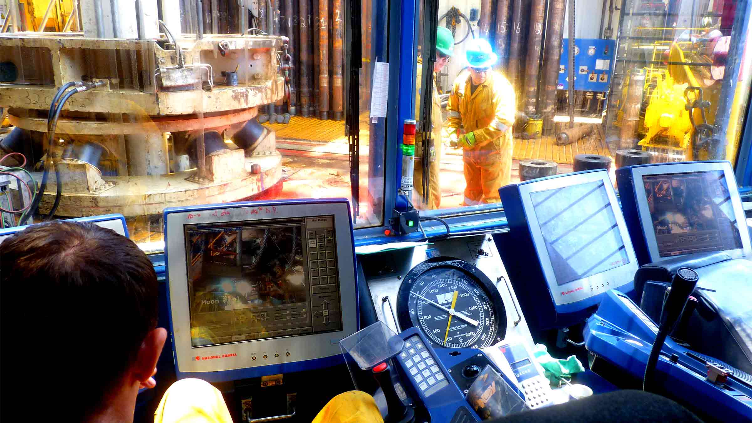
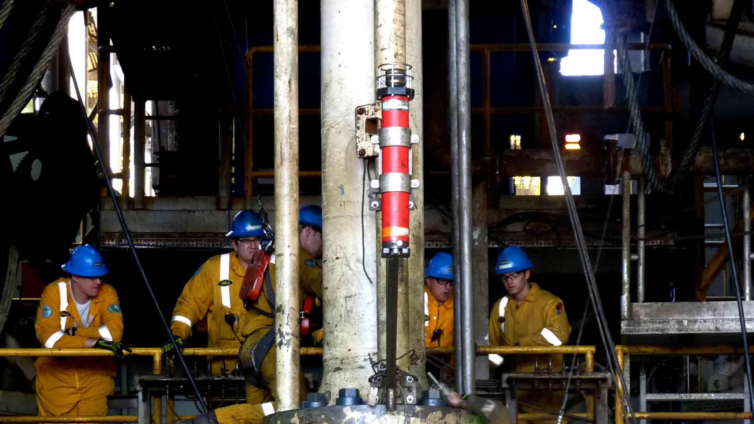
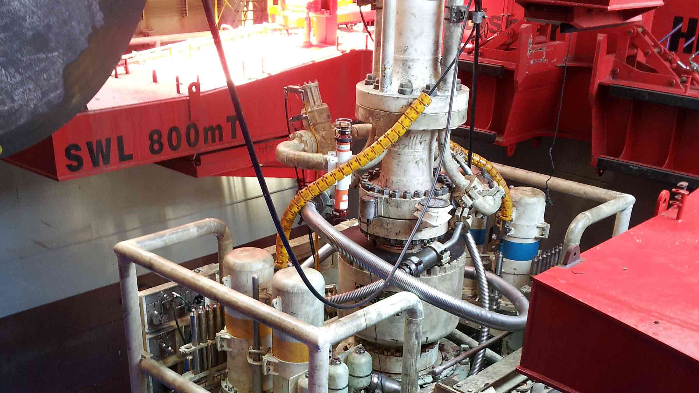
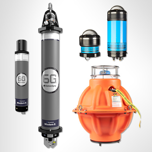
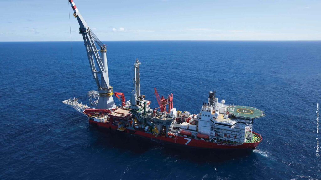
Designed for use from both Dynamically Positioned (DP) and moored drilling rigs, MRAMS uses our low-risk, field-proven 6G hardware and Wideband 2 acoustic technology to maintain an uninterrupted wireless data link between a rig and BOP, even in the high-noise environments typically associated with drilling operations.
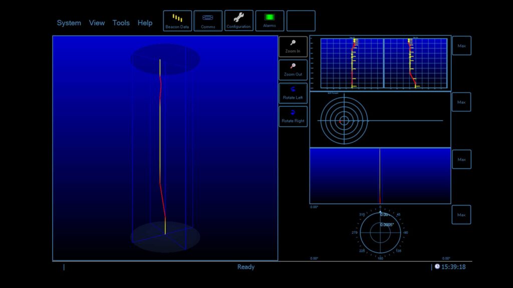
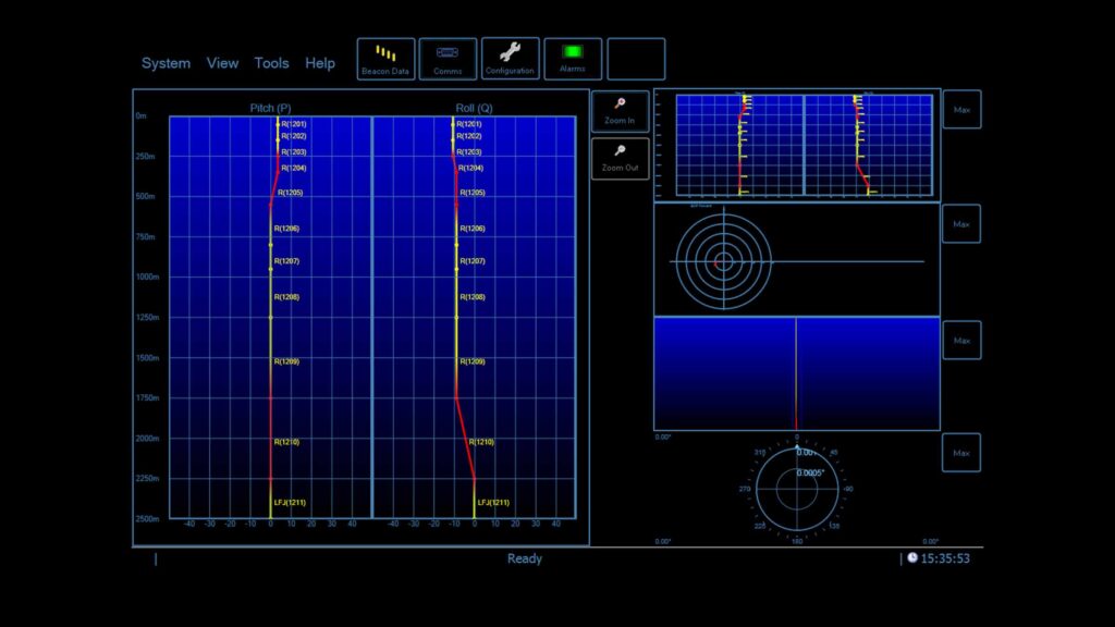
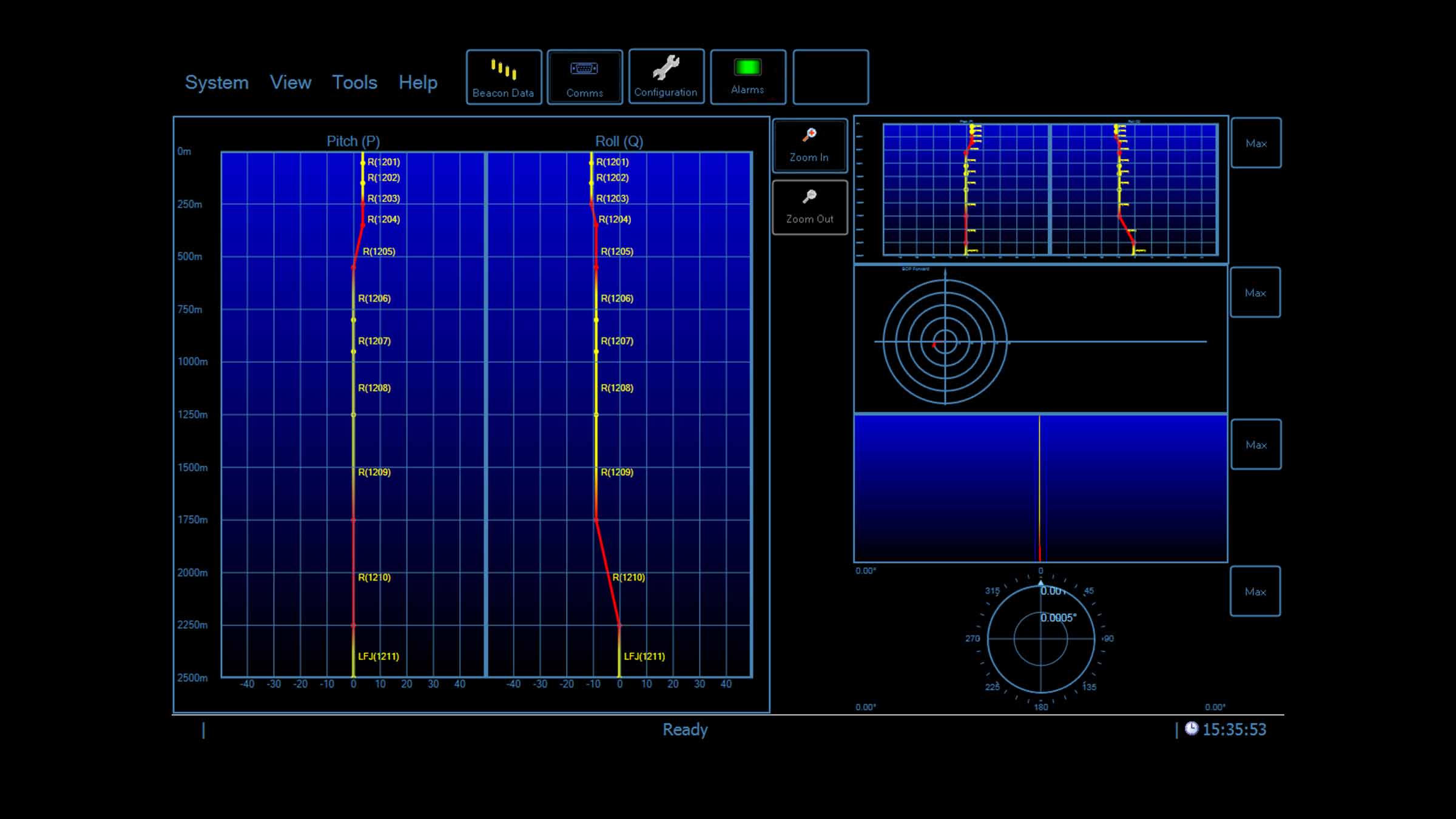
Suitable for real-time monitoring for drilling operations and riser movement, MRAMS provides high update, low latency data updates ensuring you know exactly what is happening during your operations. Unlike expensive cabled solution which are vulnerable to damage, MRAMS is a wireless acoustic solution. Simple and intuitive software provides clear and unambiguous data on a riser’s angle and profile
Designed for use from both dynamically positioned (DP) and moored drilling rigs, MRAMS uses our low-risk, 6G hardware and Wideband 2 acoustic technology to maintain an uninterrupted wireless data link between a rig and BOP, even in the high-noise environments typically associated with drilling operations.
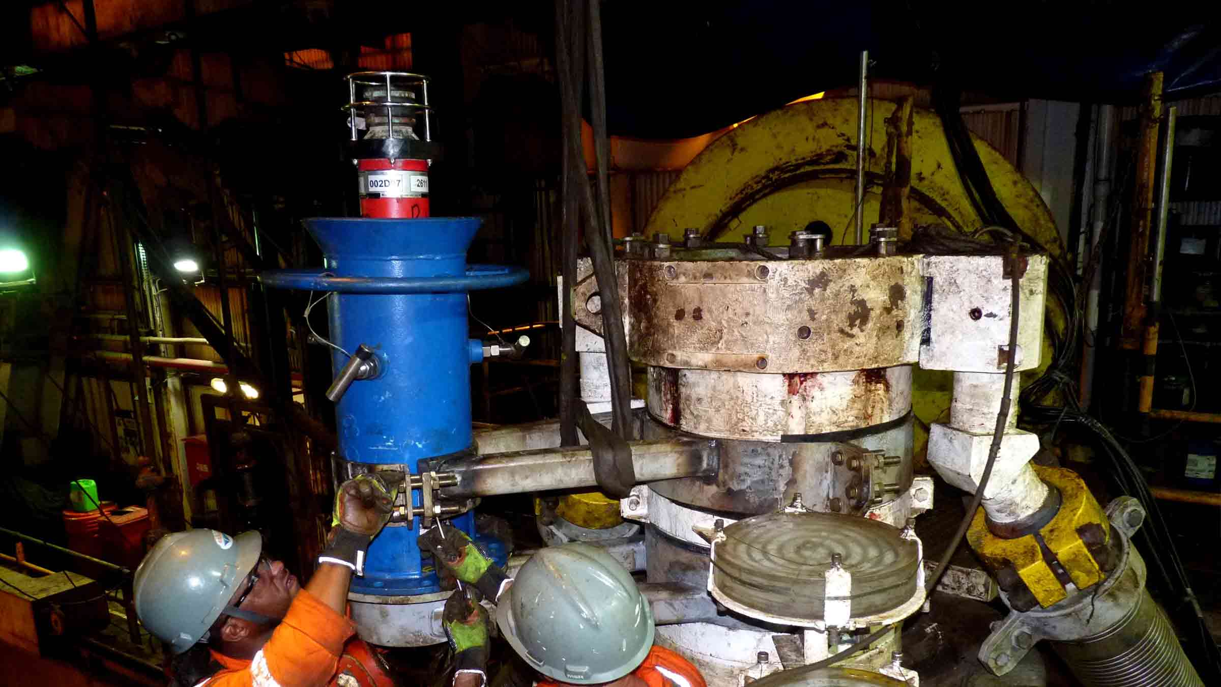
Developed from field-proven components, MRAMS is based on the integration of our USBL acoustic positioning technology and BOP-mounted transponders fitted with high resolution inclinometers. This provides clear and unambiguous data on your vessel’s position and riser angle status.
At a glance:
- Helps prevent costly damage to riser and BOP
- Provides clear information for users to maintain riser angles within operational limits
- Integrated USBL acoustic positioning for DP reference
- Designed for deep water operations
- Standalone system or integrated with Marksman LUSBL
Marine Riser Angle Monitoring System
How it works
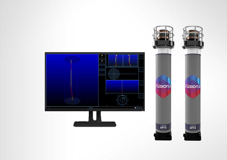
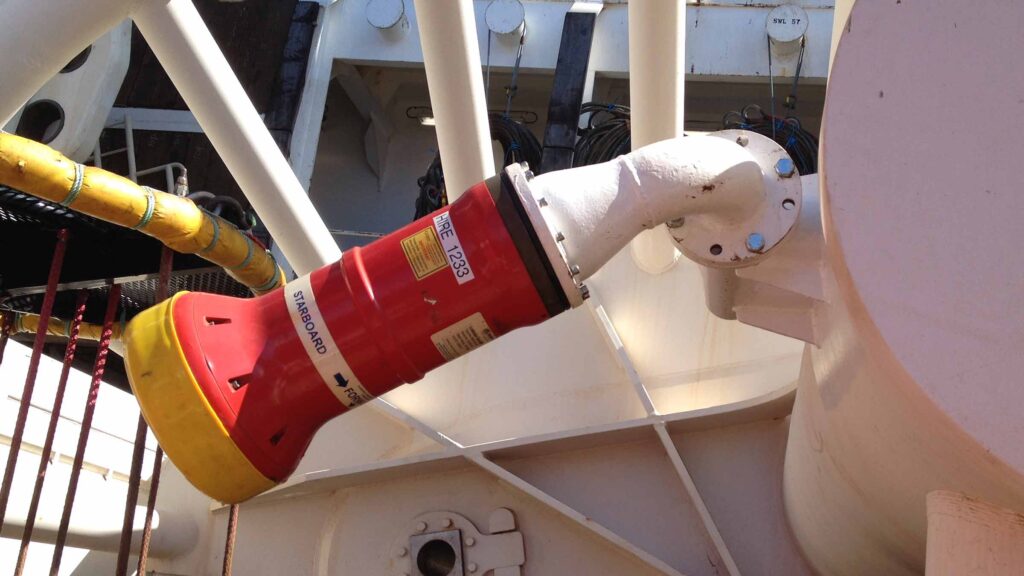
MRAMS comprises of four key elements; a Navigation Sensor Hub (NSH) and computer for controlling the transmission and decoding of acoustic signals, a vessel-based HPT 5000 or HPT 7000 transceiver which acts as an interrogator/receiver and responds to commands from the NSH, and a pair of DPTi 6 transponders; one fitted to the riser and one to the BOP.
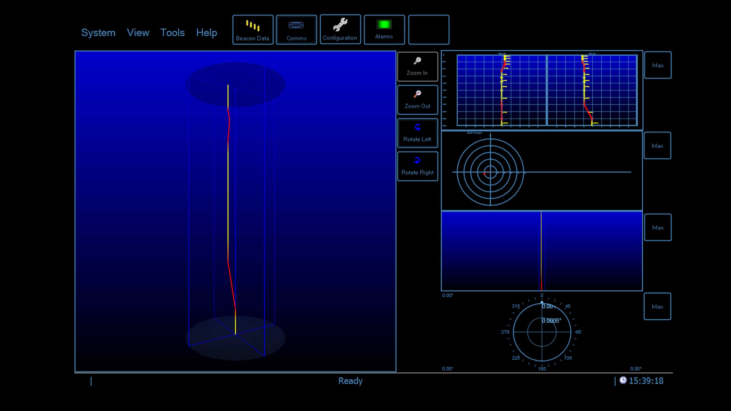
On command from the NSH, one of three angles can be measured: the riser, the BOP or differential riser/BOP angle. During drilling operations, the riser and BOP angles are continuously measured by each DPTi 6 and the differential riser/BOP angle calculated. The angles are transmitted to the vessel using high speed digital acoustic telemetry, where they are received by the HPT transceiver, decoded, and then displayed on the bridge or drill floor. The vessel’s position and bearing relative to the BOP is also calculated and the information displayed to your DP operator or barge engineer. This data enables them to steer the rig and return the riser flex joint back to vertical.
In addition to its stand-alone capability in accurately monitoring the riser and BOP differential angle during drilling operations, MRAMS integrates seamlessly with our dynamic positioning (DP) reference system, Marksman LUSBL, to provide reliable and accurate vessel positioning for mobile drilling units.
Design
• Operating depth range 3,000 m
• Robust two-way communications
• Medium Frequency (18-36 kHz)
• Compatible with all makes of DP system
Hardware list
• 2 x DPTi 6 transponders
• Riser mounting buckets
• HPT transceiver (5000 or 7000)
• Marine Computer (running MRAMS software)
• Navigation Sensor Hub (NSH)
DPTi 6 at a glance
• High accuracy inclinometer range: ±90°
• Accuracy: 0° to ±15° = ±0.05°; 0° to ±45° = ±0.2°
• Depth rated to 3,000 m
• Tilt switch ±30-45°
• Strain gauge pressure sensor ±0.01%
• High precision strain gauge (optional) ±0.01%
Support
• Comprehensive and flexible training for system operators
• 24-hour support, whenever and wherever you are in the world
• Work side-by-side with our project and applications group from concept to deployment
• Systems are manufactured and tested before delivery at our world-class in-house facilities
Manuals and quick start guides
Technical bulletin
Precision depth monitoring for offshore operations
The Riser Profiling system can be used as a standalone, integrated within a Marksman LUSBL acoustic position reference system, or with a third-party integrated monitoring system.
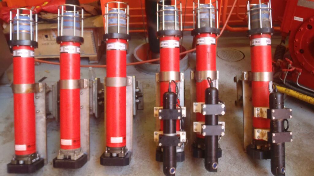
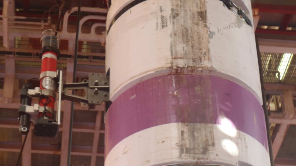
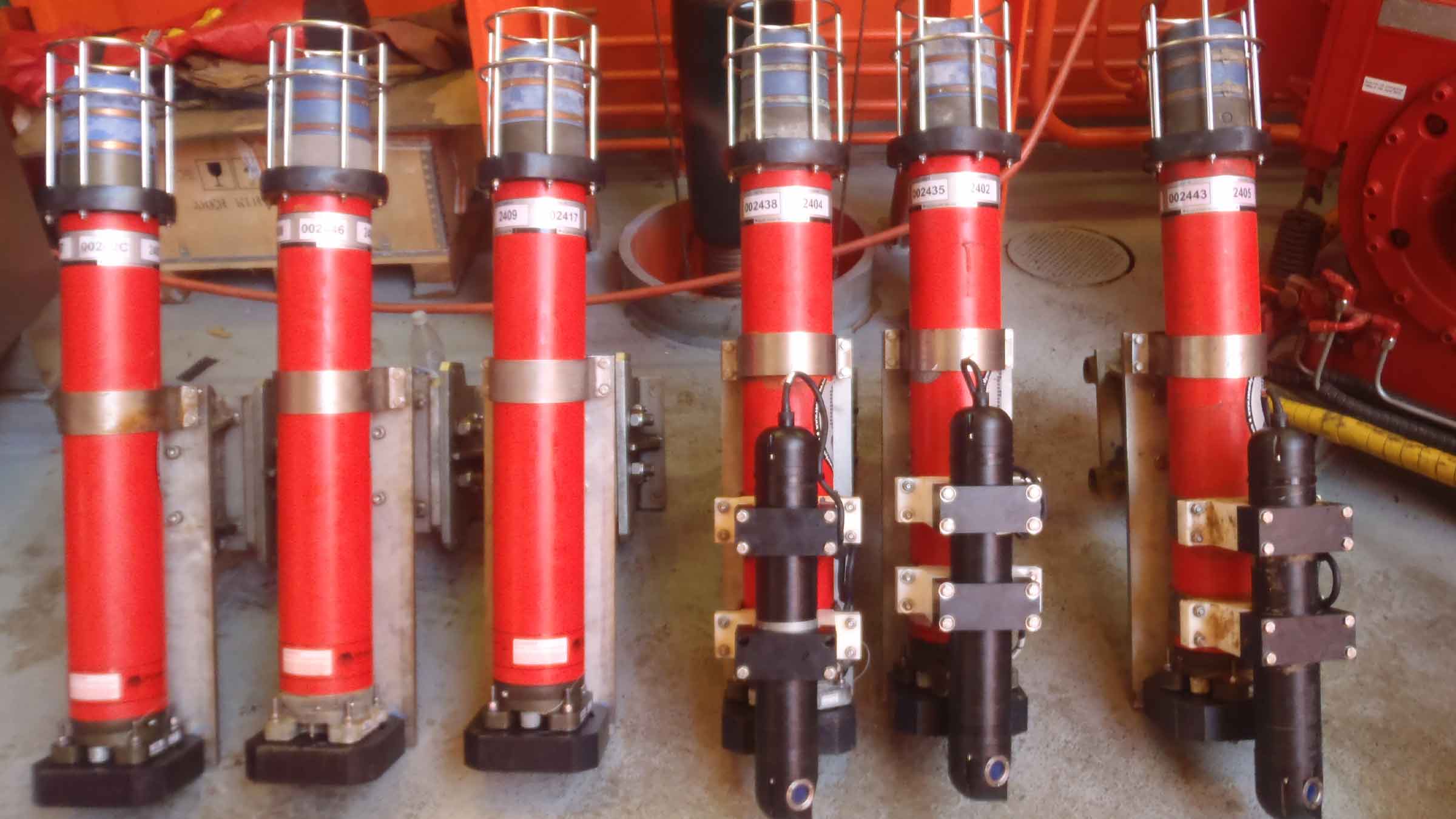
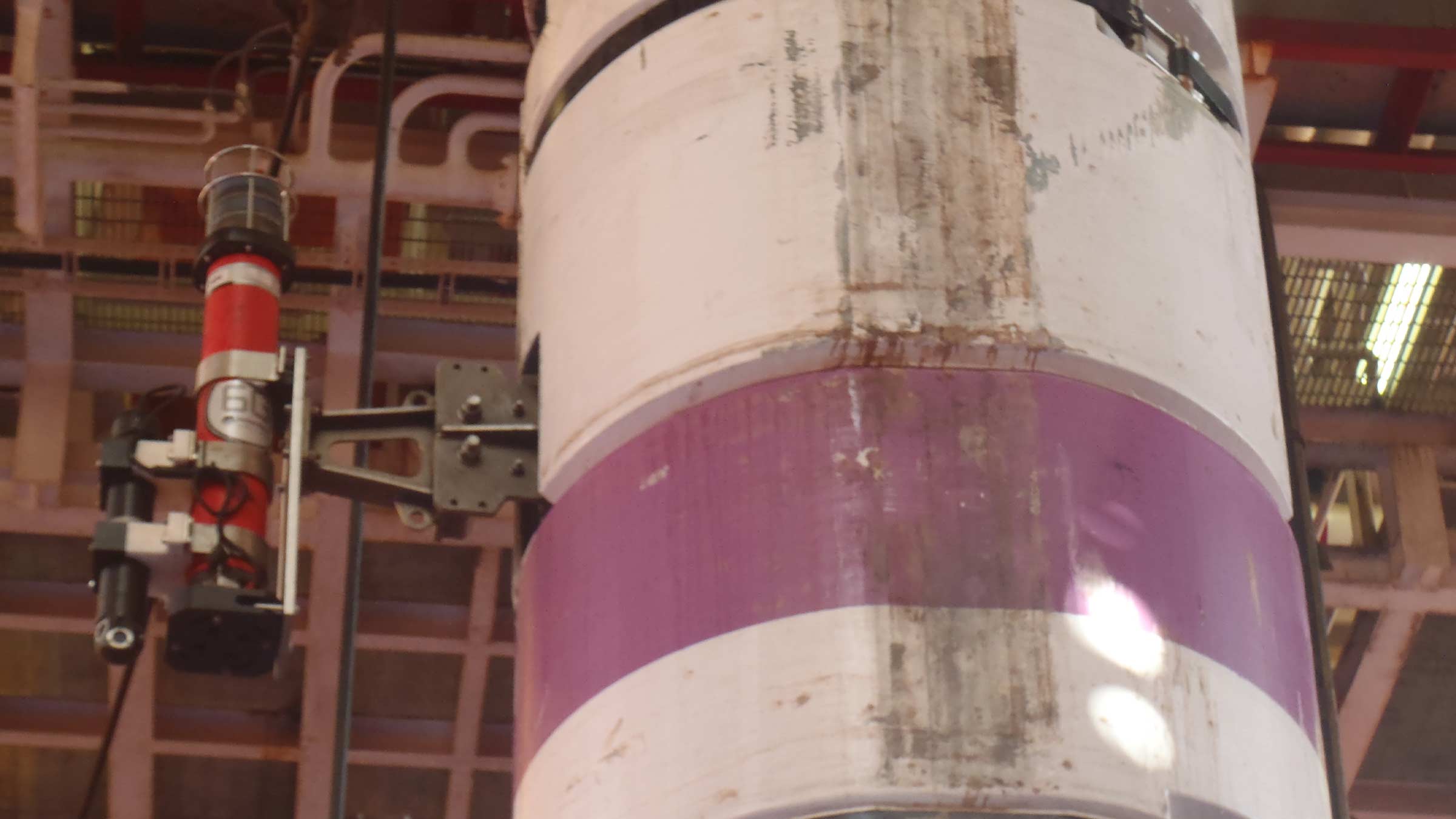
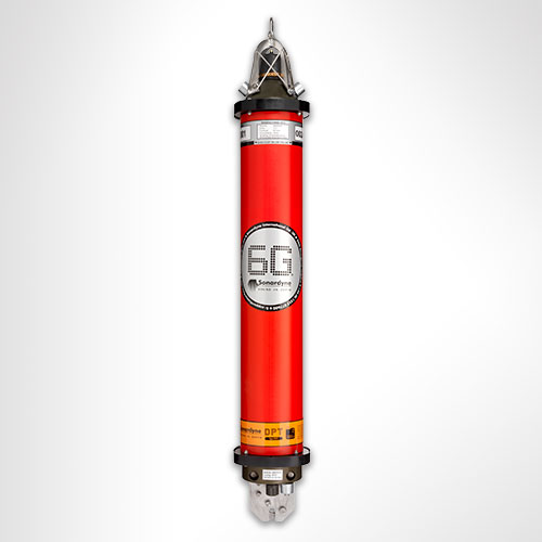
6th Generation (6G®) DPTi or SMART transponders wirelessly mounted along the length of the riser, provide highly accurate data. These are clamped onto the riser during deployment or installed via ROV subsea. Up to ten transponders are mounted on a riser. Each transponder is fitted with the following sensors:
- High-resolution dual axis inclinometer
- Water temperature
- Pressure and depth
- Optional single point Doppler current meter (speed, direction)
The gathered data is transmitted wirelessly from the transponders using our Wideband 2 acoustic signals to a transceiver on the vessel, eliminating the need for expensive umbilical cables to fitted up each riser.
At a glance
- Designed for monitoring your riser’s integrity
- Helps prevent critical damage during operations
- Removes need for expensive cables
- 6G hardware and Wideband 2 acoustic delivers robust performance during operations
- User configurable update rates
Advanced monitoring for subsea success
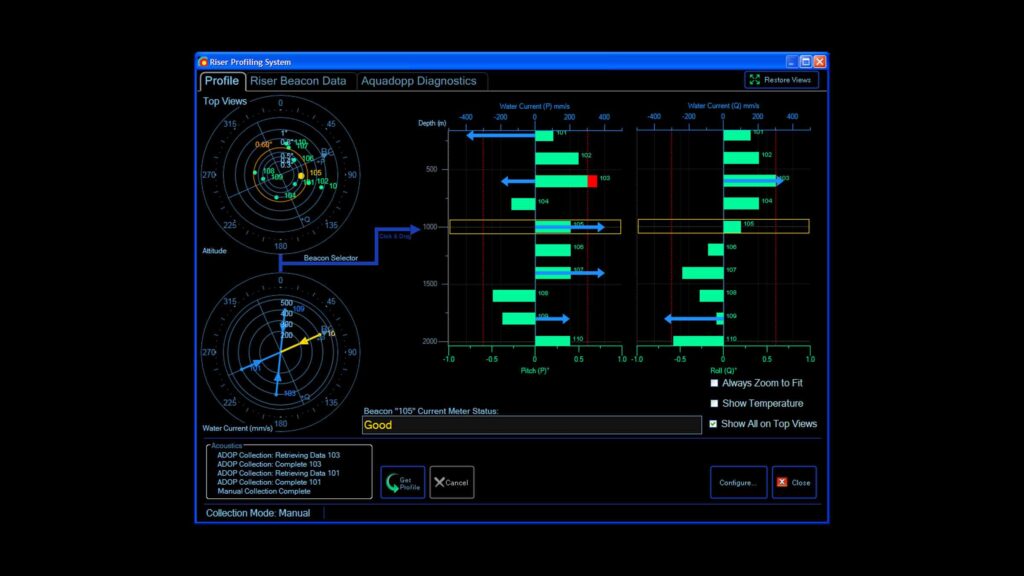
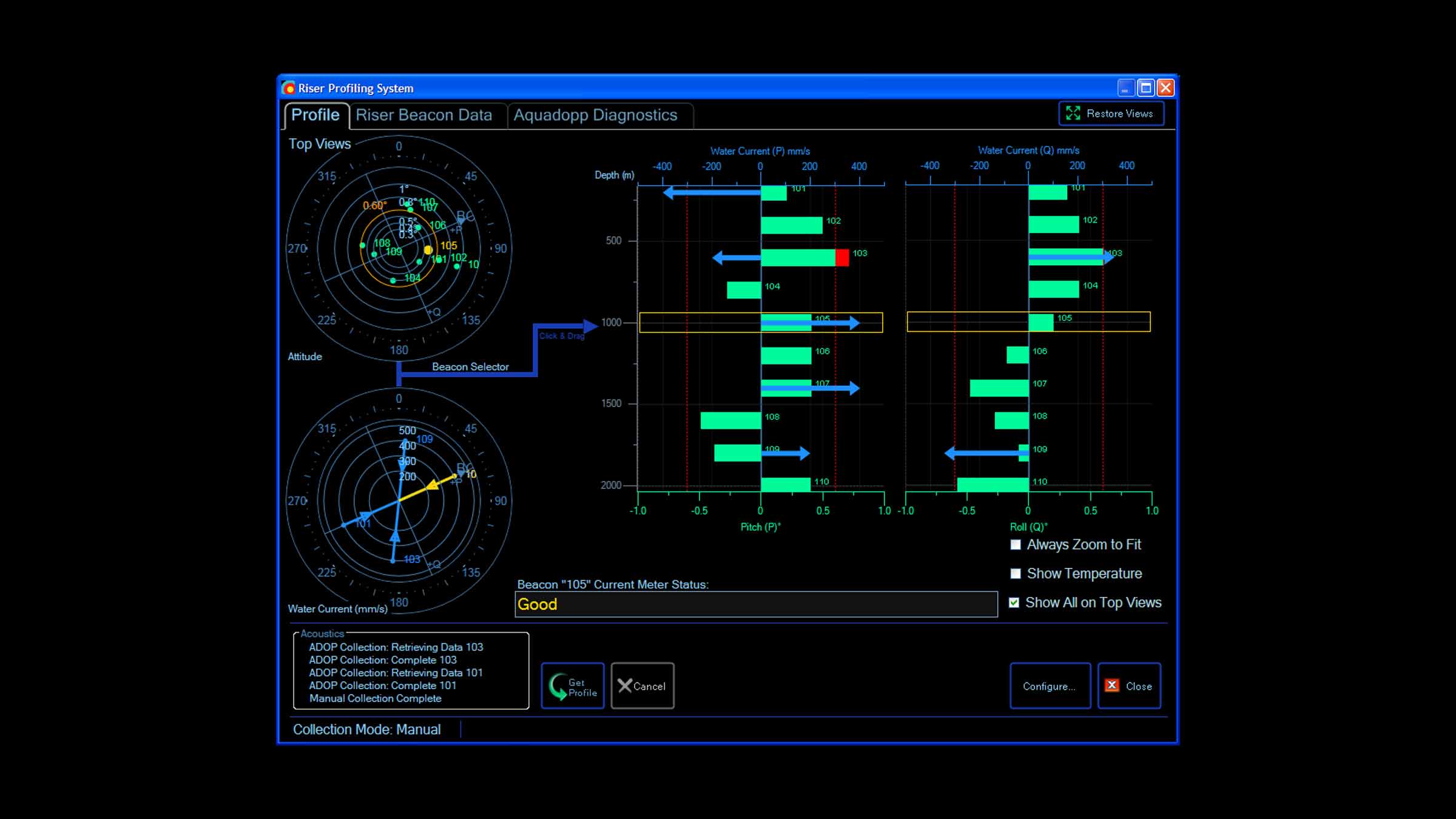
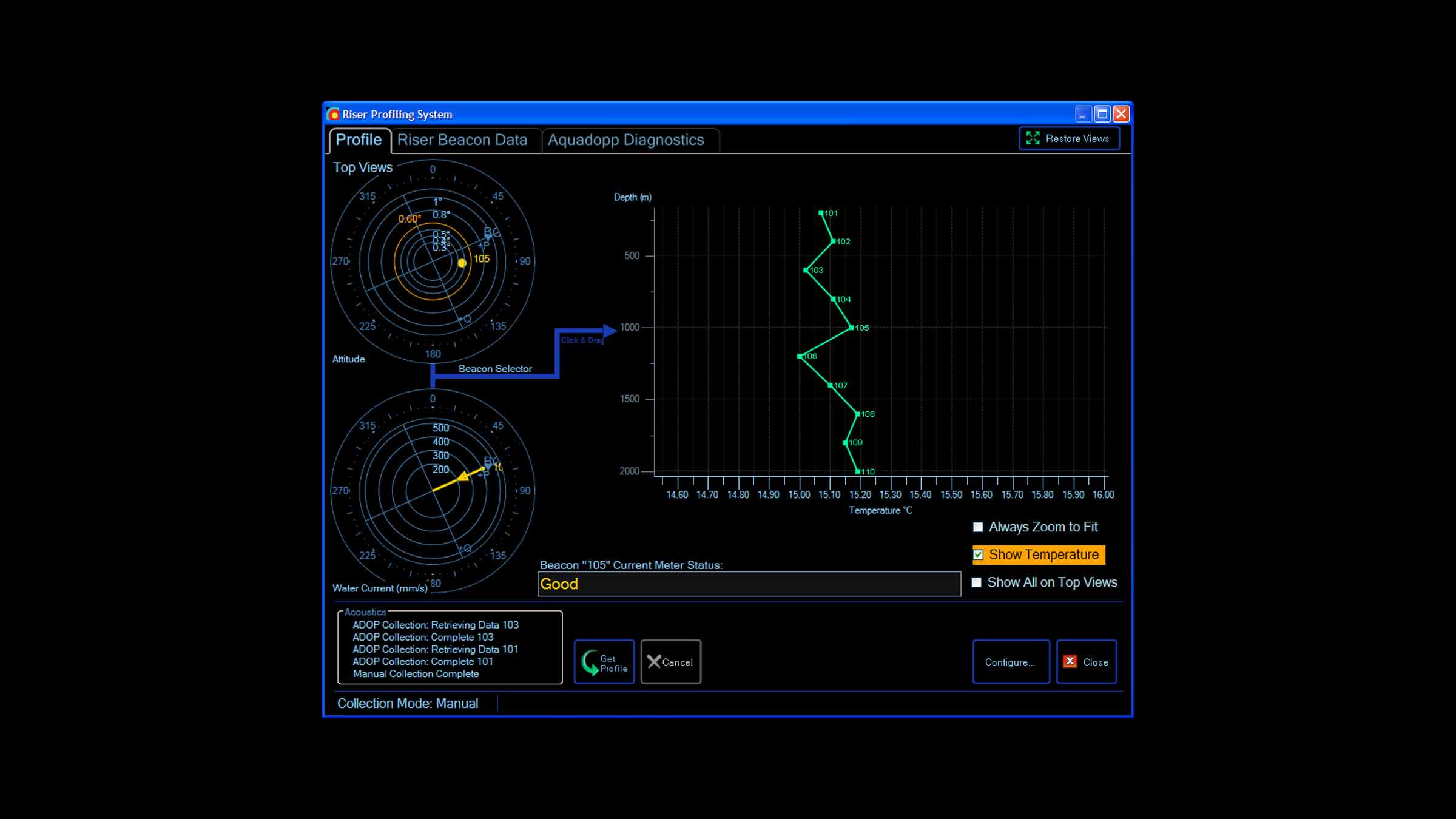
Topside software makes changing monitoring regimes easy. You can even set an alarm to activate when the calculated riser angle exceeds a predefined limit.
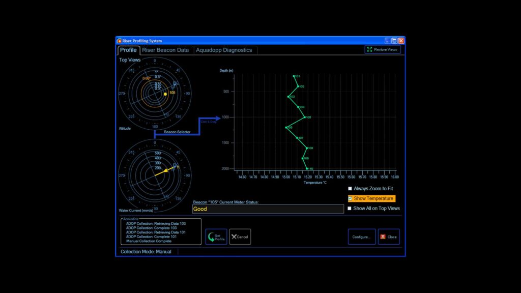
At the update rate you choose, inclination, current speed and direction, pressure, temperature measurements are requested from each transponder. All data is processed, logged and displayed graphically and numerically on the topside computer software for your instant analysis. When SMART transponders are used, the data is processed within the transponder and wirelessly transmitted to the vessel’s transceiver.
Specifications
| Rider Profiling System | Equipment Required | |
|---|---|---|
| Topside Computer Hardware | Sonardyne Navigation PC (marine approved) | |
| Operating System | Windows®10 | |
| Acoustic Sensor Interfacing and Time Sync | Sonardyne Type 8098 Navigation Sensor Hub (NSH) | |
| Vessel Transceiver | Sonardyne Type 8142 HPT (LMF band) | |
| Riser Transponders | Sonardyne Type 8300 DPTi 6 (LMF band) | |
| Sensor Accuracies | Temperature (PRT) | ±0.1°C |
| Pressure/Depth (Strain Gauge) | ±0.01% | |
| Dual Axis Inclinometer (Pitch/Roll) | ±0.05° over 0 – ±15°; ±0.2° over 0 – ±45° | |
| Current/Water Velocity (Single Point Doppler) |
1% of measured value ± 0.5 cm/s |
Datasheets
Support
• Comprehensive and flexible training for system operators
• 24-hour support, whenever and wherever you are in the world
• Custom configured to meet your exact operational requirements
• Systems are manufactured and tested before delivery at our world-class in-house facilities
Design
• Operating depth range 3,000 m (5,000 m)
• Robust two-way communications
• Compatible with all makes of DP system
DPTi 6 at a glance
• High accuracy inclinometer range: ±90°
• Accuracy: 0° to ±15° = ±0.05°; 0° to ±45° = ±0.2°
• Temperature ±0.1°C
• Tilt switch ±30-45°
• Strain gauge pressure sensor ±0.01%
• High precision strain gauge (optional) ±0.01%
Hardware overview
• Compatt 6 DPTi riser transponder
• Riser Profiling software
• HPT Transceiver
• Marine Computer
• Ethernet Serial Hub (ESH)
• Riser mounting buckets available
Measuring the shortest change, to give the longest warning – how it works
A tsunami wave in deep water creates a small (a little as 3 cm) but measurable change in pressure that can be maintained in excess of 20 minutes.
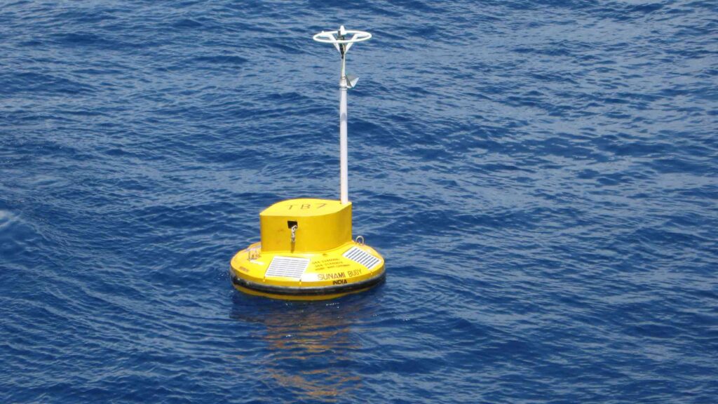
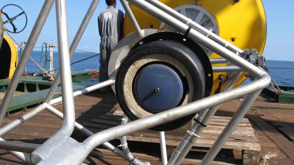
The sensitive pressure sensor in the BPR detects the small, but continuous change in water pressure, which triggers transmission of a series of warning messages to a surface buoy moored above it. This means that the first message warning of a tsunami, caused by a small variation in water pressure on the seabed thousands of miles from shore, can be in the office of the monitoring organisation within minutes, if not seconds.
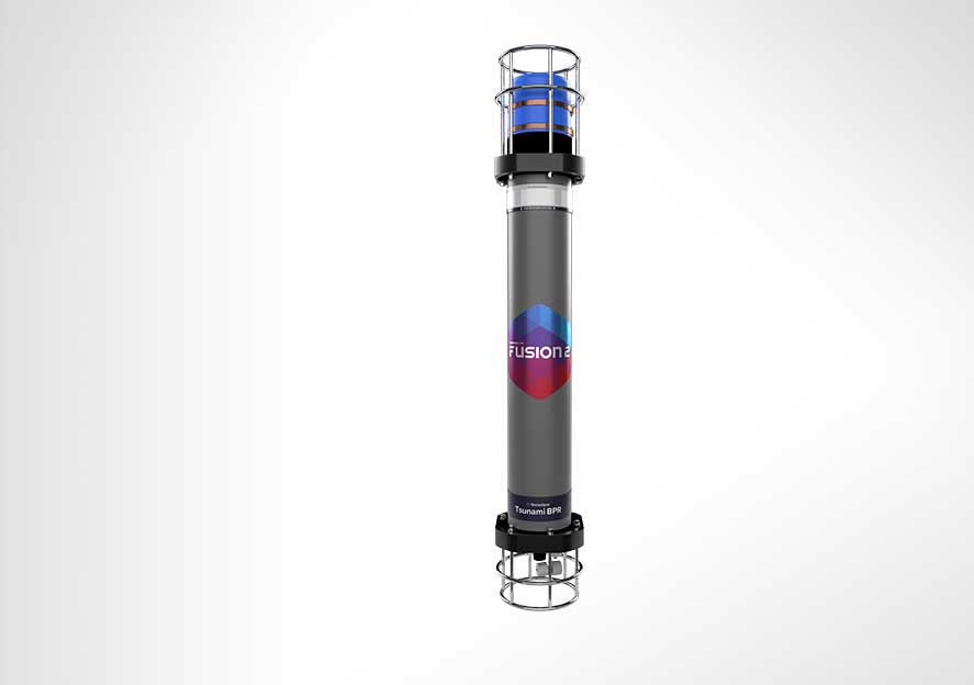
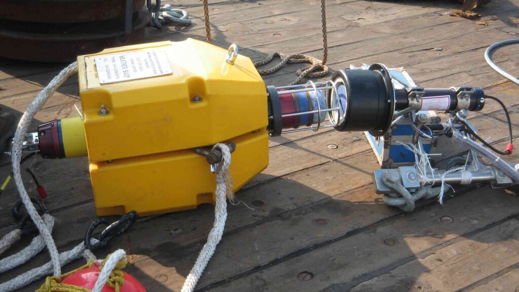
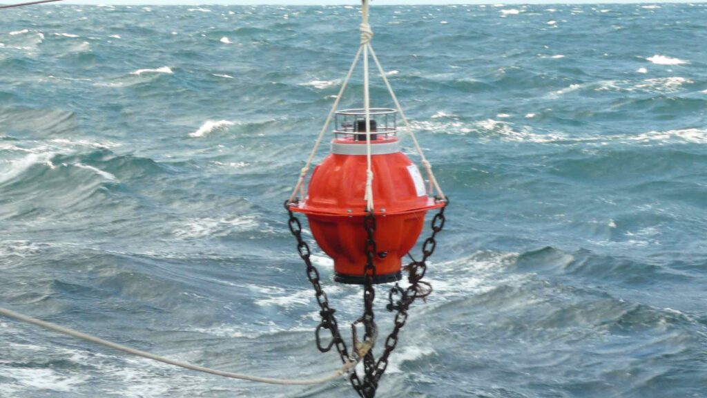
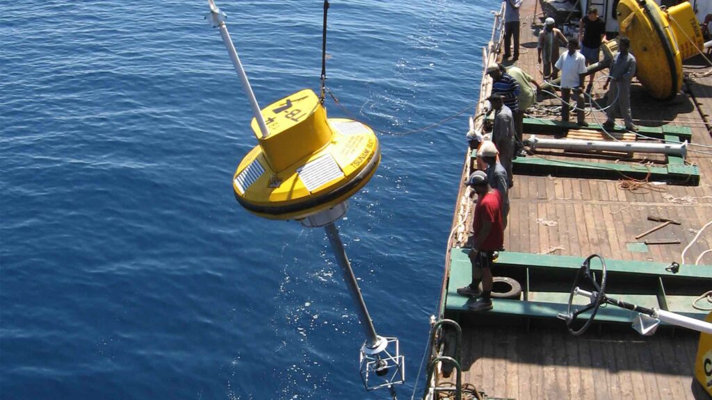
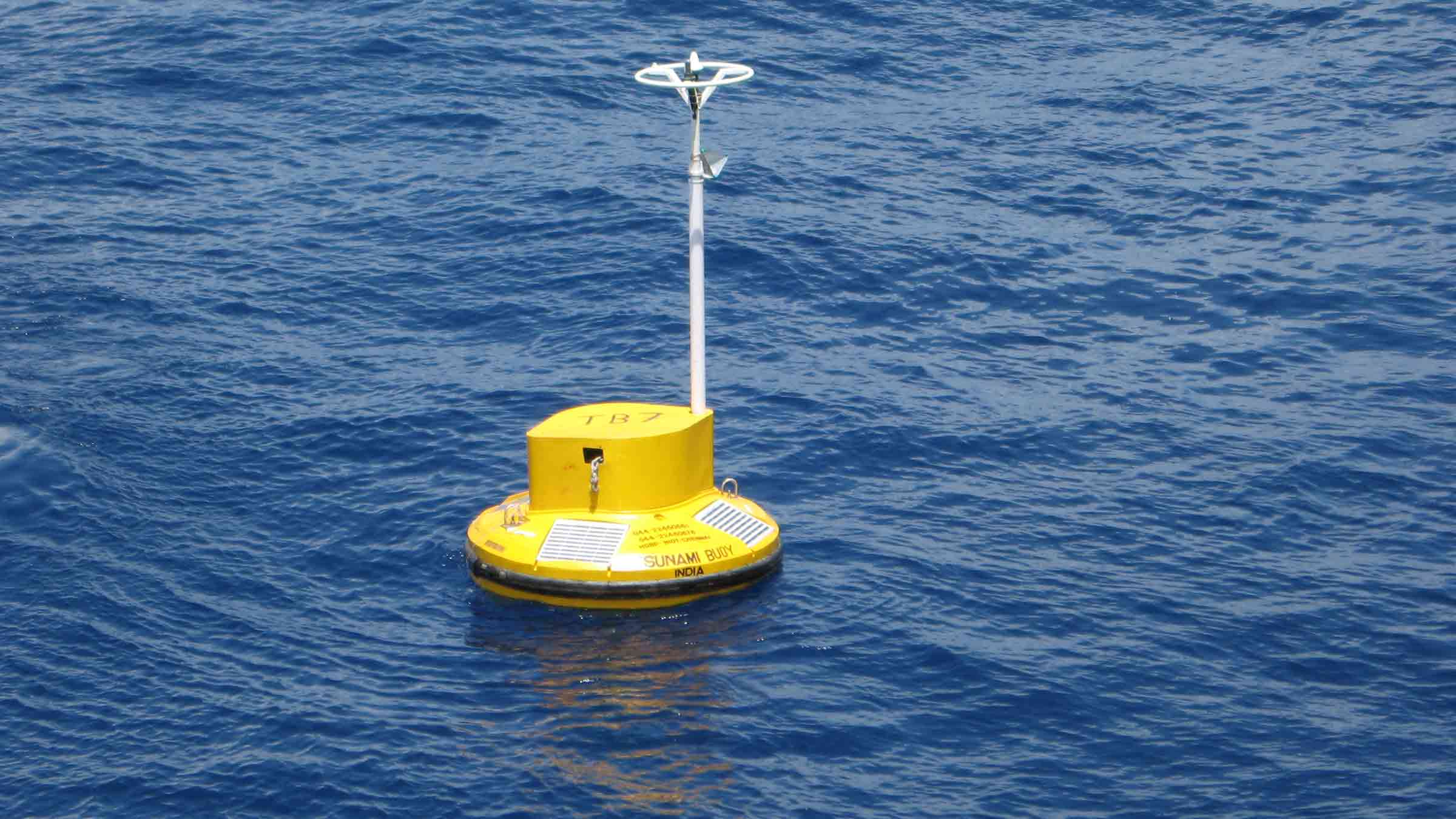
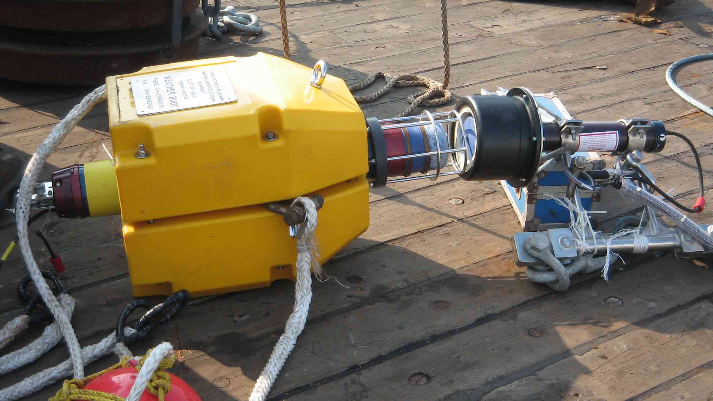
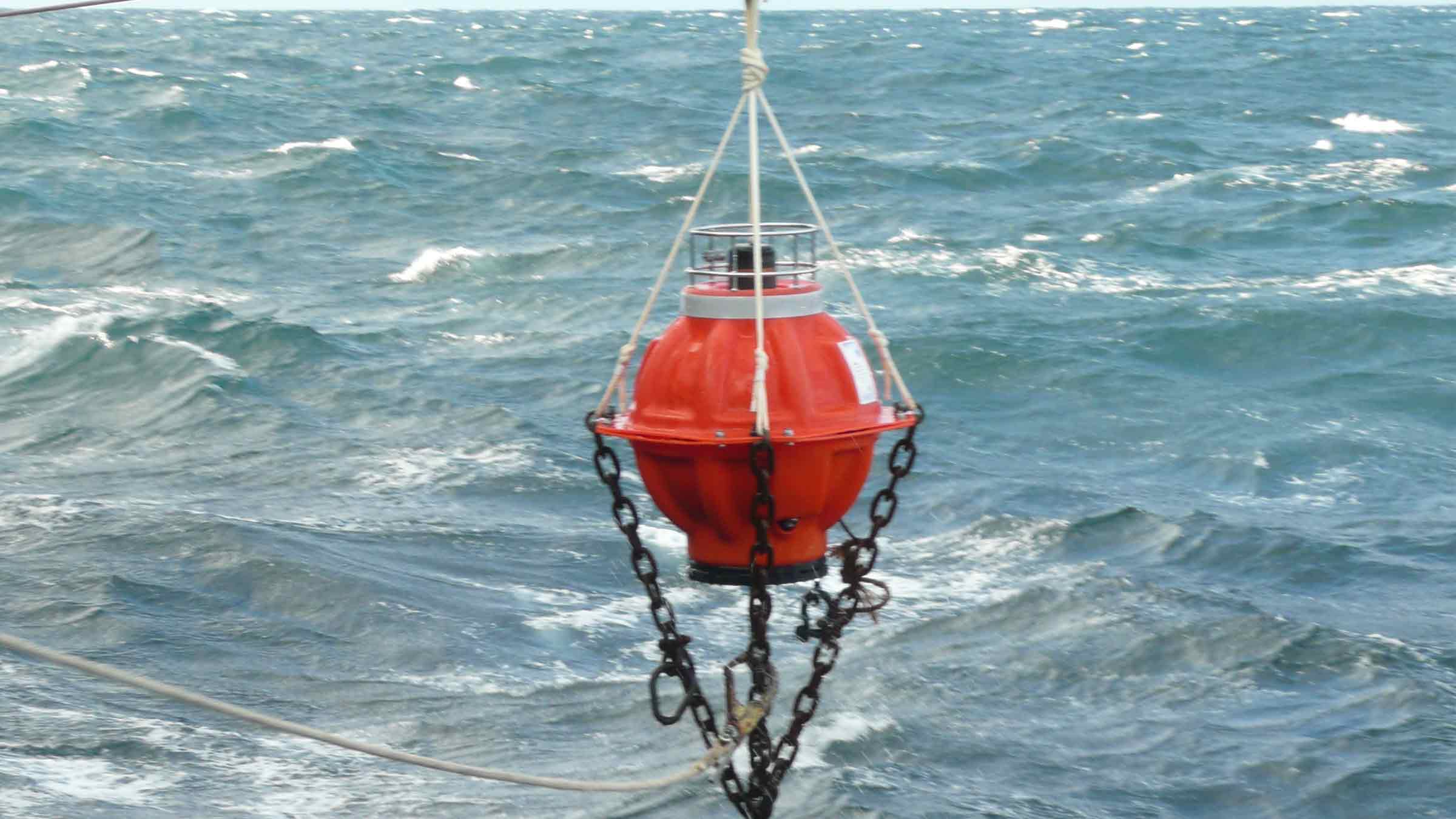
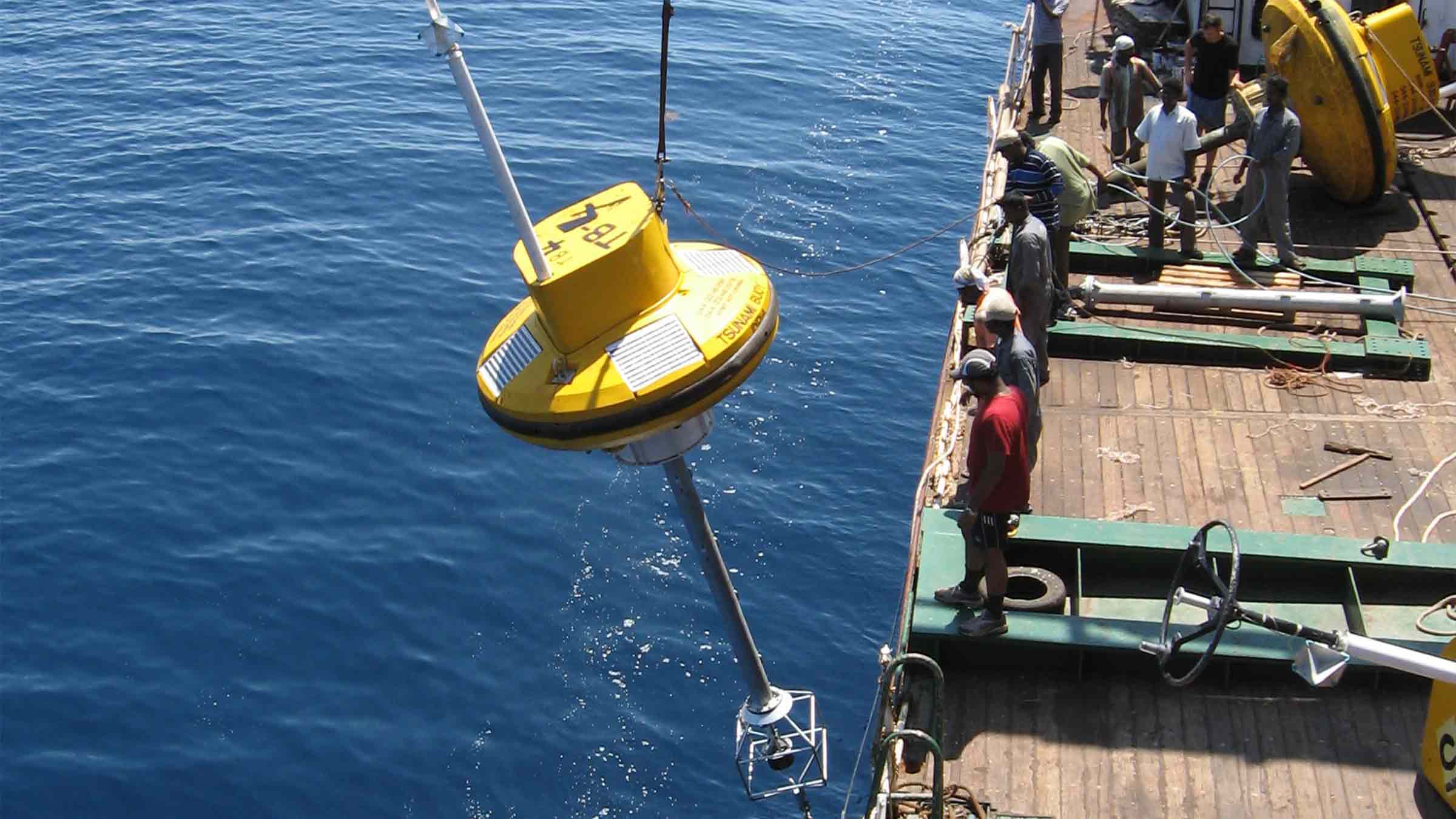
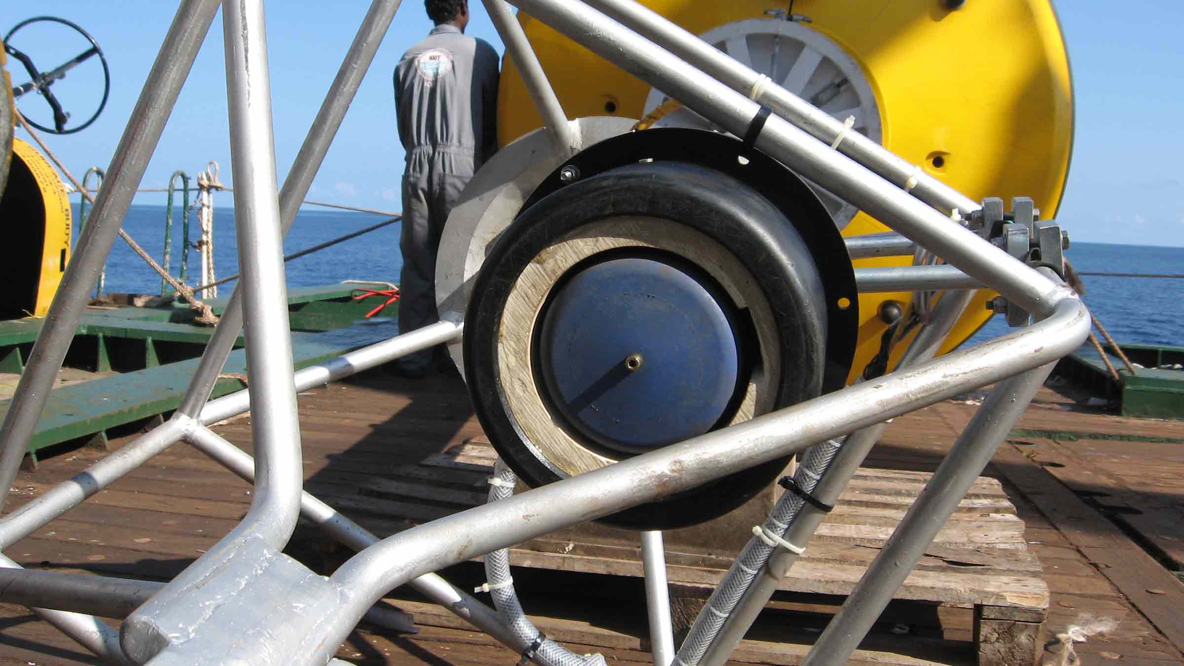
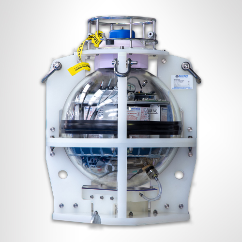
The Tsunami Early Warning System (TEWS), developed by MSM Ocean and Sonardyne, centres around a sophisticated Bottom Pressure Recorder (BPR) deployed on the seabed. This modified Compatt 6 transponder works in conjunction with a surface buoy and onshore control centre to create a comprehensive tsunami detection network.
The BPR operates at depths up to 7,000 m and features impressive longevity, running for four years on standard power or up to nine years when housed in a glass sphere configuration. Operating in the LMF band (14-20 kHz), the device samples water pressure every 15 seconds and typically transmits data hourly to the surface. The system is compatible with various surface transceivers, including our Ranger 2 USBL system.
The detection process is both sensitive and precise. The BPR can identify pressure changes as small as 3 centimetres, using the NOAA DART® algorithm to compare measured pressure against predicted values. When two consecutive variations exceed the preset threshold (typically 3cm), the system enters alert mode. Data is then transmitted acoustically to the surface buoy, which relays the information via dual Iridium satellites to the shore. This entire alert process takes only minutes to complete.
System management is streamlined through the NETCOM-TS web application, which provides comprehensive control and monitoring capabilities. The data is shared with NOAA’s National Data Buoy Center, ensuring broad distribution of critical warning information. The system can be configured remotely, and maintenance is straightforward thanks to an acoustic release mechanism that allows for simple recovery and redeployment. Unlike some competing systems, this solution requires no underwater cables, making it particularly reliable and easy to maintain.
This integrated system serves as a crucial link in the chain of tsunami detection and warning, providing coastal communities with vital advance notice of potential threats. By combining robust hardware with sophisticated detection algorithms and seamless communication protocols, the system delivers a dependable early warning solution that can save lives and property in vulnerable coastal areas.
At a glance
- All-in-one wireless solution for detecting tsunamis; no fixed sea-to-shore infrastructure required
- Detects height variation on the water surface as small as 1 mm; a change of 3 cm launches a tsunami event (tsunami alert)
- Generates Deep-ocean Assessment and Reporting of Tsunamis (DART®) warnings which can be received onshore within seconds of a confirmed tsunami event
- Low cost of ownership; COTS technology with long service intervals
- IALA compliant buoy for increased safety of the system to guarantee availability
- Remote monitoring and control for ease of operation
- Intuitive shore control interface using MSM Ocean’s NETCOM-TS software
Why choose Sonardyne & MSM?
Easy ownership
Our warning system is commercial-off-the-shelf, can be acquired easily, delivered in short timescales and commissioned without any significant national investment in, or construction of, sea-to-shore infrastructure.
It’s integrated
Competing warning systems are often made up of individual sensors, battery packs and modem with vulnerable connectors and cables. Together with MSM Ocean, we provide a one-stop shop solution that’s rugged and robust.
It’s proven
The system’s built using proven, high security wireless seabed to shore monitoring and communications technology, with proven performance in detecting tsunamis.
Seabed to surface communications (Sonardyne)
• Long range for deep water deployment far offshore; 19-34kHz frequency band
• Advanced protocols to minimise data loss and re-sends
• Directional transducer for optimised seafloor-to-surface communications
• 100 – 900 baud user payload, bi-directional
• Powered by 6G and Wideband 2 technology: in use globally within science, energy and defence
Surface to shore communications (MSM Ocean)
• Uses the Iridium low earth orbit (780 km) constellation of polar orbiting satellites
• Incorporates dual modems and antennas for redundancy
• NETCOM-T software web application enables remote management of the tsunami buoy and BPR from Shore Control Centre
BPR Design (Sonardyne)
• Robust all-in-one design; compact, integrated, self-powered, no cables to get damaged
• Easy to deploy; standard depth rating of 5,000 m (option for 7,000 m)
• Integrated release mechanism for simple recovery of seabed BPR for servicing
• 2 year battery life typical; up to 10 years possible with alternative design of BPR
• Simple to integrate surface transceiver on instrumented buoy (solar and communications)
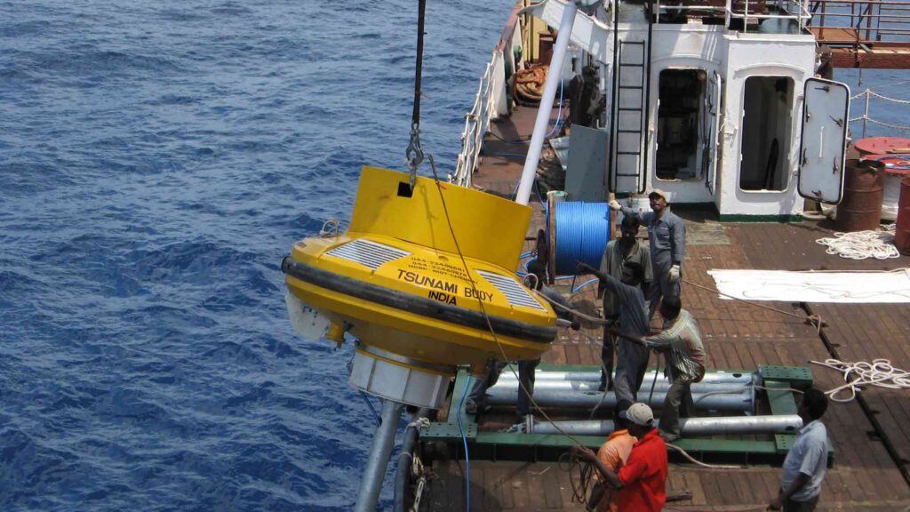
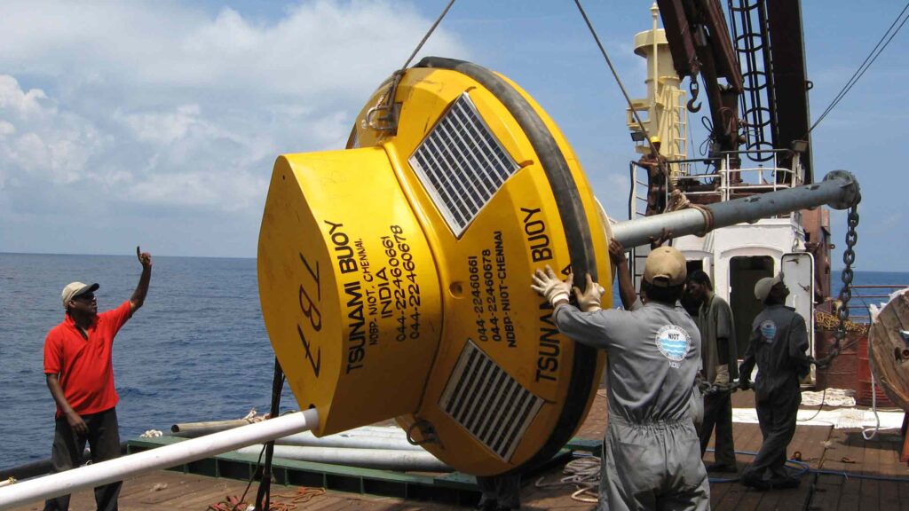
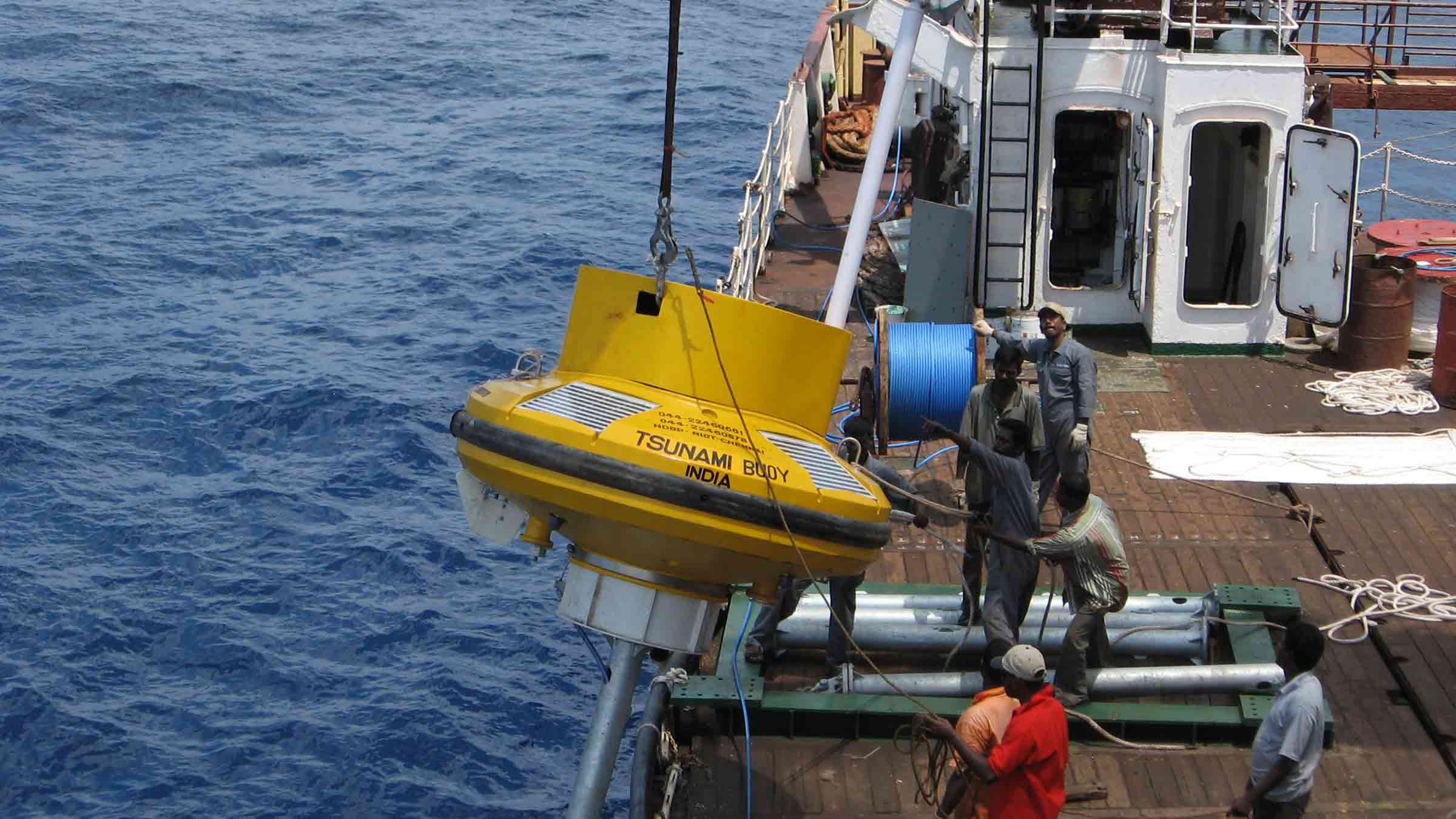
Tsunami Buoy (MSM Ocean)
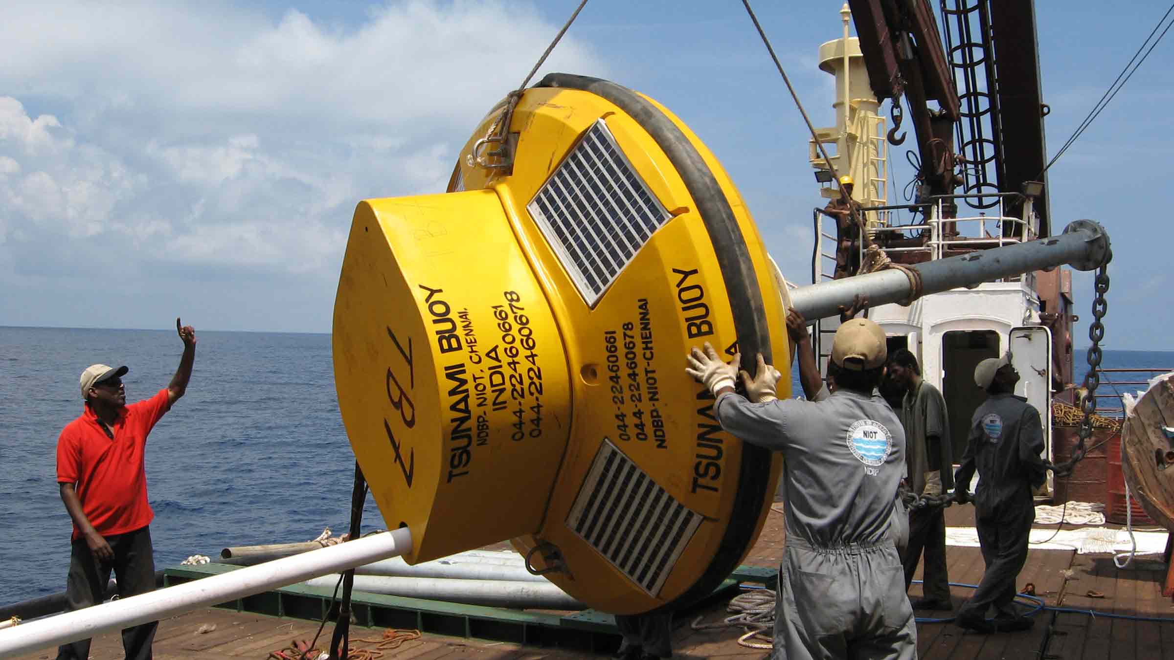
• Suitable for deployment in depths of up to 4,000 m
• IALA compliant topmark, lighting with 5 NM luminous range
• Aluminium superstructure with a 2.4 m diameter shock-resistant closed-cell polyethylene foam float and stainless-steel tail
• Multiple safety and anti-vandalism measures fitted as standard: GPS out of position alarm, unremovable solar panels, impact sensor, intrusion sensor
A typical TEWS configuration (Per monitoring location)
• Seafloor deployed BPR transponder and floatation, 5,000 m rated, 2 year battery life. Sonardyne iWand back-deck and workshop test and configuration device
• Moored, IALA-compliant communications buoy equipment equipped with sub-surface acoustic transceiver, power, navigation safety aids and redundant satellite communications gateway
• MSM Ocean command and configuration software used to remotely control and monitor the TEWS and issue alerts
Ownership
• Warranty: 1 year return to Sonardyne MSM Ocean service centre
• Training: onsite or remote operator and maintainer training required
• ITAR Controlled: No
• UK Export Licence: Not required
Specifications
| Feature | Type 8141 Buoy Mounted Transceiver | Type 8142-000-02 Buoy Mounted Transceiver |
|---|---|---|
| Frequency Band | LMF (14–19 kHz) | LMF (14–19 kHz) |
| Transducer Beam Shape | Directional | Directional |
| Transmit Source Level (dB re 1 µPa @ 1 m) | 196–172 dB (3 levels) | 196–172 dB (3 levels) |
| Receive Sensitivity (dB re 1 µPa) | 95–130 dB (6 levels) | 95–130 dB (6 levels) |
| Telemetry (Wideband 2) | 100–900 baud, user payload, bi-directional | 100–900 baud, user payload, bi-directional |
| Sonardyne Messaging Service (SMS) data buffer | 128 bytes | 128 bytes |
| Command/Control | Accessed through communications interface | Accessed through communications interface |
| Error Detection and Correction | Advanced protocols to minimise data loss and re-sends |
Advanced protocols to minimise data loss and re-sends |
| Communications Interface | RS232 (9,600–115,200 baud) | RS232 (9,600–115,200 baud) |
| Dimensions (Length x Diameter) | 608 x 260 mm | 608 x 260 mm |
| Weight/Mass | 9.75 kg (weight in water) 5.26 kg (weight in air) |
9.75 kg (Weight water) 52 N (mass) |
| External Power Requirement | 24–50 V dc, 1 W quiescent, 100 W peak |
24–50 V dc, 1 W quiescent, 100 W peak |
| Armoured Cable to buoy Payload | Included (10 m, 8-core, with strain relief) | Included (10 m, 8-core, with strain relief) |
| Feature | Type 8303 Bottom Pressure Recorder 6 | Type 8303-6226 Bottom Pressure Recorder 6 |
| Depth Rating | 5,000 m (4,100 and 7,000 m option) | 6,000 m |
| Frequency Band | LMF (14–19 kHz) | LMF (14–19 kHz) |
| Transducer Beam Shape | Directional | Directional |
| Transmit Source Level (dB re 1 µPa @ 1 m) | 202–169 dB (5 levels) | 202–169 dB (5 levels) |
| Receive Sensitivity (dB re 1 µPa) | 80–120 dB (6 levels) | 80–120 dB (6 levels) |
| Telemetry (Wideband 2) | 100–900 baud, user payload, bi-directional | 100–900 baud, user payload, bi-directional |
| Battery Life (Monitoring) | 725 days standard (1,450 days maximum option) | 1,450 days |
| Working Load Limit (4:1) (Release) | 250 kg | 250 kg |
| Dimensions (Length x Diameter) | 1,100 x 200 mm | 1,667 x 200 mm |
| Weight/Mass | 28.2 kg (weight in air) 14.2 kg (weight in water) (standard 5,000 m option) |
49.5 kg (weight in water) 235 N (mass) |
| Pressure Sensor | 4,100 m (7,000 m option) | 6,800 m range |
| BPR Floatation Collar | Included (nett buoyancy 300 N) |
n/a |
| Feature | Floatation for Bottom Pressure Recorder 6 | |
| Depth Rating | n/a | 6,000 m |
| Dimensions (Diameter) | n/a | 857 mm |
| Weight/Mass | n/a | 211 kg (weight in water) 760 N (mass) |
Datasheets
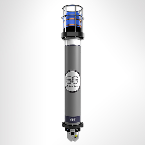
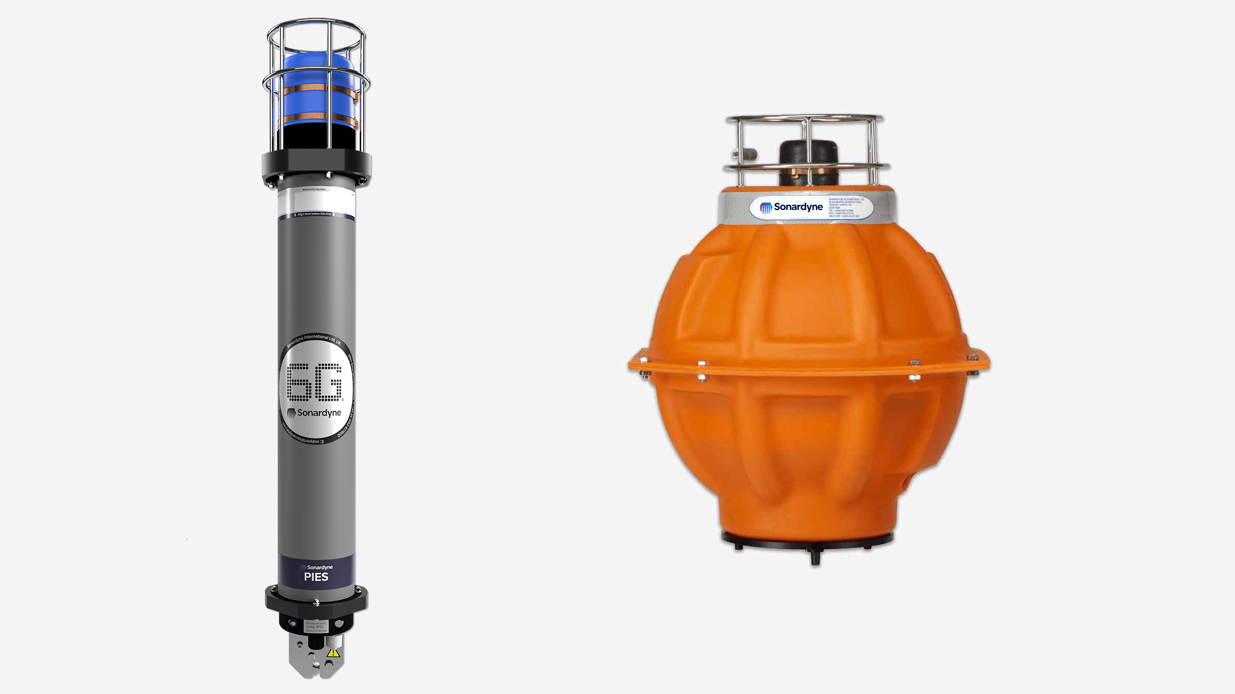
Unlocking subsea secrets with PIES
Imagine the possibilities
Boost your operations: Make informed decisions with a deeper understanding of ocean currents and seismic activity.
Save time and money: Deploy PIES for up to five years, reduce personnel costs and environmental impact through unmanned data retrieval.
Uncover hidden insights: Combine PIES data with other geophysical measurements for a comprehensive view of the ocean floor.
How PIES works for you
PIES is designed to seamlessly integrate into your system:
- Easy to use: Simple setup and configuration, with flexible ping rates to match your needs.
- Reliable data: Consistent, accurate measurements for months or even years.
- Versatile retrieval: Access data when you want it, remotely, mid-operation, via unmanned vehicles or by traditional end of mission retrieval methods.
- Comprehensive insights: Developed for marine seismic and ocean science applications.
Why invest in PIES
- Suitable for environmental surveys / ocean currents monitoring / site survey and characterisation
- Harvest data using ROV, AUV, USV or surface vessel
- Integrated acoustic release for easy recovery
- Depth ratings to 6,000 m
- Choice of form factor to suit your operations
PIES in action
Unlocking the Gulf Loop Current
Read moreTransponders provide reliable releases for Allton offshore Norway
Read moreLong endurance monitoring of tectonic motion
Read morePerformance
• 3,000 or 6,000 m depth rated
• Up to five-year deployment life
• Monitor for months or years – PIES is engineered for sustained observation campaigns
• PIES helps oceanographers and geophysicists to better understand the physical processes that occur deep in the ocean
Design
• Anti-trawl frame option available
• Customisable sensor payload options
• Glass sphere or hard anodised aluminium housing options
• Easy to set up with configuration and sampling period programmable via modem
Acoustic
• 80–120 dB (7 levels) receive sensitivity
• 190–202 dB (4 Levels) transmit source level
• LMF (14–19 kHz) operating frequency
• Integrated modem with data rates ranging from 100 to 9000 bps
Ownership
• Warranty: 1 year return to Sonardyne service centre
• ITAR Controlled: No
• UK Export License: not required
Specifications
| Feature | Type 8302-3116 | Type 8306-3816 | |
|---|---|---|---|
| Depth Rating | 3,000 or 6,000 m | 3,000 or 6,000 m | |
| Operating Frequency | LMF (14–19 kHz) | LMF (14–19 kHz) | |
| Transmit Source Level (dB re 1 µPa @ 1 m) | 190–202 dB (4 levels) | 190–202 dB (4 levels) | |
| Receive Sensitivity (dB re 1 µPa) | 80–120 dB (7 levels) | 80–120 dB (7 levels) | |
| Battery Life (Capacity) | Multi-years life, dependent on sensors and sampling interval (100 Ahr) |
5 years life (dependent on sensors and sampling interval (180 Ah) | |
| Mechanical Construction | Hard anodised aluminium housing, duplex stainless steel guards | Glass sphere, galvanised stand, duplex stainless steel guards and connectors | |
| Weight in Air/Water | Fetch | 30.6/16.1 kg | 43/-10 kg (upthrust buoyancy) |
| Stand | n/a | 60/52 kg | |
| Sensors and Options | |||
| Temperature (±0.1°C) | Standard | Optional | |
| Tilt Switch (±30–45°) | Standard | Standard | |
| High Precision Strain Gauge (±0.01%) Keller or Presens |
Optional | Optional | |
| Paroscientific DigiQuartz Pressure Sensor (±0.01%) 1,350 m, 2,000 m, 4,130 m, 6,800 m |
Standard | Standard | |
| High Accuracy Inclinometer Range: ±90° Accuracy: ±0.05° over 0–±15°; ±0.2° over 0–±45° |
Optional | Optional | |
| Sound Velocity Sensor ±0.02 m/s Accuracy Under Calibration Conditions |
Optional | Optional | |
| External Sensor Options Turbidity, Conductivity, ADCP | n/a | Optional | |
| Release Mechanism (Screw-off) | Standard | Standard | |
| Connector Type | Subconn MCIL8M | Impulse MCIL-8-MP | |
| Note: See Compatt 6 and AMT datasheets for more information |
Frequently asked questions
Software and firmware
Datasheets
Manuals and quick start guides
Durable, compatible, configurable, portable
Why Acoustic Data Logger is perfect for your operations
Built on more than 30 years of successful installations, Acoustic Data Loggers provide you with the power to read multiple gauges at predefined intervals, securely store the received information within the unit, then transmit it acoustically through the water column to the surface on-demand.
The current generation includes our 6G and Wideband 2 acoustic technology, allowing large volumes of logged data to be rapidly and accurately retrieved at the surface.
Unmatched longevity for unwavering performance
Say goodbye to frequent maintenance and costly disruptions. Your Acoustic Data Logger can remain deployed for several years without the need for intervention, ensuring your well data is captured with unwavering consistency. They are compatible with Intelligent Well Interface Standardisation (IWIS) and non-IWIS gauge cards from the leading wellbore downhole pressure and temperature gauge manufacturers.
Using normal gauge reading sample rates they can operate for up to three years. Longer deployments or higher sample rates are easily accommodated using external battery packs. All hardware is supplied in corrosion-resistant super duplex stainless steel canisters for very long deployment periods.
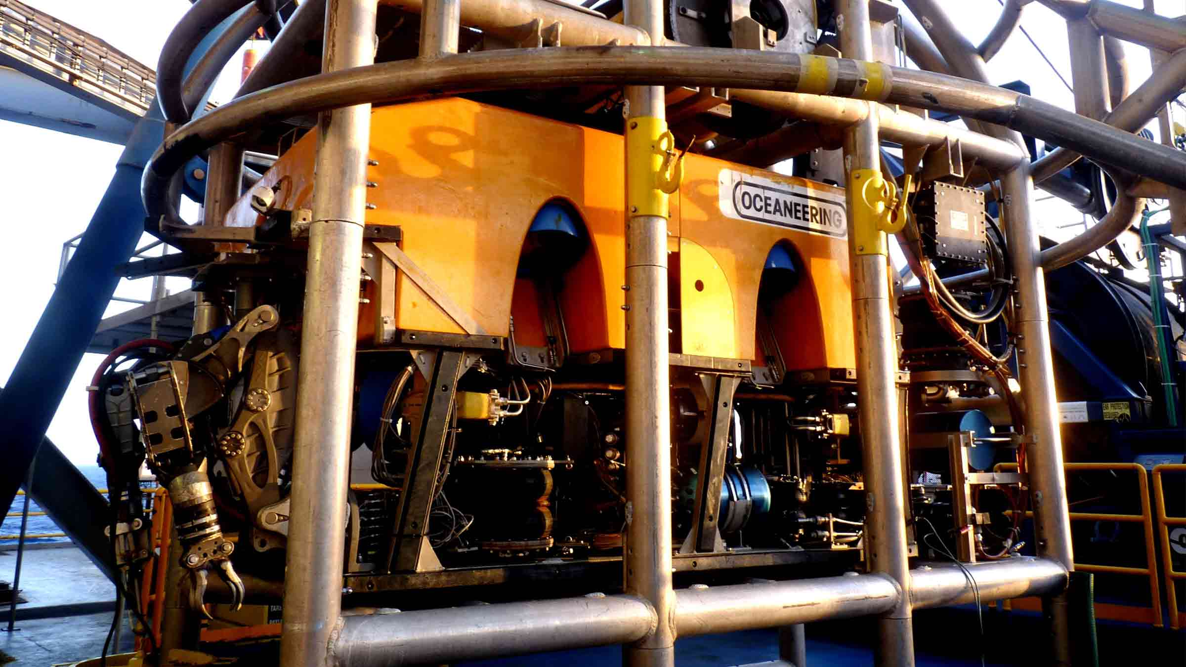
ROV portability to a maximum depth of 3,000 m, makes the system ideal for initial well appraisals, where frequent downhole pressure and temperature readings need to be logged over a few weeks. However, the system is equally suitable for long-term deployments where it may remain installed on a wellhead, logging data for several years without intervention.
Suspended or abandoned well monitoring
High-availability acoustic subsea modems are designed for use with third party systems to facilitate the transfer of wellhead or wellbore data to the surface. Our modems can be designed, tested and supplied as part of a third party’s well monitoring solution, including electromagnetic, and through-casing tube technologies to the wellhead or tree-mounted modem.
At a glance
- Perfect for well appraisal campaigns
- ROV-deployable, easy to move between wells
- Can be interfaced to wide range of down hole gauges
- Depth rated to 3,000 m (10,000 feet)
- Harvest data using vessel, rig or ASV
Performance
• Standard depth rating of 3,000 m
• Configurable sample rates from 2 minutes to 5 days
• Weight in water 63 kg
• Acoustic data rate 300–9,000 bps
Design
• Super Duplex Stainless Steel construction
• Integrates into all industry-standard gauge cards
• Fully configurable logging and reporting scheme
• 512 gb internal storage
Connectivity
• ROV mate-able connection
• LMF (14–19kHz) acoustic link
• High speed, spread spectrum acoustic data link
Support
• Comprehensive and flexible training for system operators
• 24-hour support, whenever and wherever you are in the world
• Work side-by-side with our Custom Engineering Team from concept to deployment
• Systems are manufactured and tested before delivery at our world-class in-house facilities
Specifications
| Feature | Type 8195 | |
|---|---|---|
| Acoustic communication | ||
| Operating frequency | LMF (14–19 kHz) | |
| Transducer beam shape | ±30° (directional) ±70° (omni with noise shield) |
|
| Transmit source level (dB re 1 µPa @ 1 m) | >190 dB | |
| Receiver threshold (dB re 1 µPa) | 85–120 dB (7 levels) | |
| Acoustic data | Link | High speed, spread spectrum |
| Transmission rates | 300–9,000 baud (true payload rate variable by telemetry scheme) | |
| Power | ||
| Power | Long life lithium primary cell battery pack | |
| Battery capacity | Single battery pack | 120 Ah @ 14.5 V dc |
| Dual battery pack | 240 Ah @ 14.5 V dc | |
| Battery life | Dependant on interface and logging configuration | |
| Interface card | Supply voltage | 24 V dc ± 4 V |
| Maximum power | 30 W | |
| Communication and interface | ||
| Gauge interface card type | 1x IWIS DHPT Interface Card (dependant on field requirements) | |
| Interface card serial communication format | IWIS RS485 at 9,600 baud, Modbus TCP or Modbus RTU protocol | |
| Interfaces | Serial | 2x RS485/422 – 2x RS232 |
| Analogue | 6x Analogue | |
| Serial communication | Direct serial access to data logger & Gauge Interface Card via the external serial port | |
| Logging and data storage | ||
| Minimum memory capacity | 512 Mb – Industrial SD Card (non-volatile) | |
| Sample rates | Standard | Configurable from 2 minutes to 5 days (dependant on interface) |
| Special | High sample rate operation for user defined durations from 1 minute to 4 days with configurable rates from 5–60 seconds (dependant on interface) | |
| Mechanical | ||
| Mechanical construction | Super duplex stainless steel – UNS32550 | |
| Mechanical design | Sonardyne 6th Generation including inter O-ring test ports | |
| Dimensions (length x diameter) | MF single battery configuration | 1,086 x 199 mm |
| LMF dual battery configuration | 1,348 x 199 mm | |
| External connectors | Gauge interface | 1 x ODI or TRONIC (dependant on field requirements) |
| Serial test port | 1x Subconn MCBH8M 1x Subconn MCBH8F |
|
| Environmental | ||
| Depth rating | 3,000 m (dependant on connector) | |
| Operating temperature | -10 to +55°C | |
| Storage temperature | -25 to +70°C | |
| Design qualification | ISO 13628-6 Level Q1 & Q2 | |
| Options | ||
| ROV handle Type 8195-007 | ROV handle assembly (folding), super duplex stainless steel – UNS32550 | |
| Battery configuration | Single (120 Ah), dual (240 Ah) or triple (360 Ah) |
Software and firmware
Datasheets
Accelerate your operations with our compact powerhouse
Key benefits
Saves you time and money: pre-calibrated for immediate deployment, eliminating setup delays.
Enhanced accuracy: delivers unparalleled precision through a combined acoustic transceiver and AHRS.
Versatility: ideal for a variety of applications, including subsea structure installation, pipeline positioning and USV operations.
Compact design: up to 20% shorter and 19 kg lighter than previous versions. It’s perfect for use in space-constrained environments such as on over-the-side poles and pipelay vessel stingers.
Optimised performance: seamless integration with Ranger 2 for superior tracking accuracy.
Experience the difference
Gyro USBL is more than just a tool – it's a game-changer. Whether you're in energy, defence, or science, our advanced technology will elevate your operations with:
- Faster deployment on vessels of opportunity or from a pipelay vessel’s stinger.
- Reliable and accurate target tracking for enhanced mission success.
- Expanded exploration capabilities with extended range and precision.
How it works
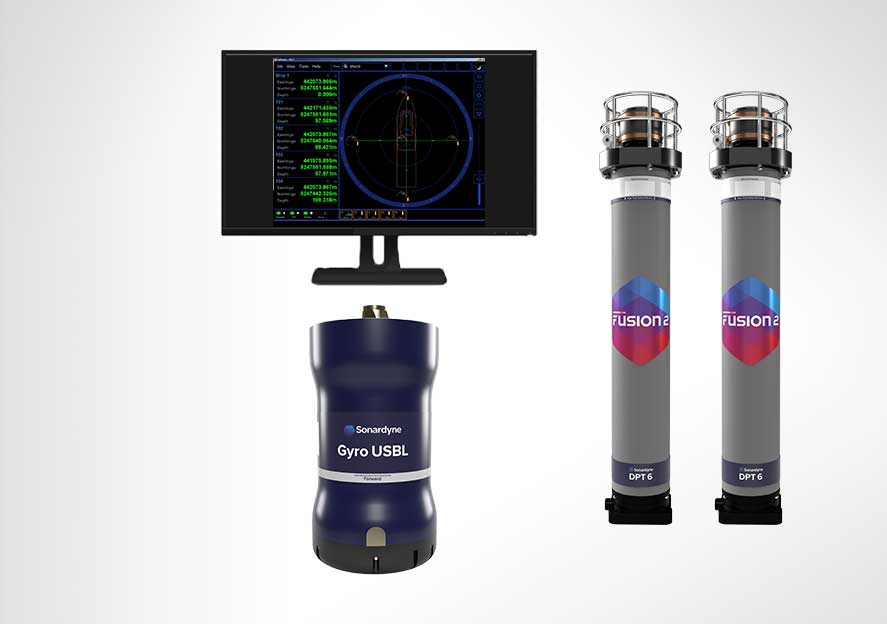
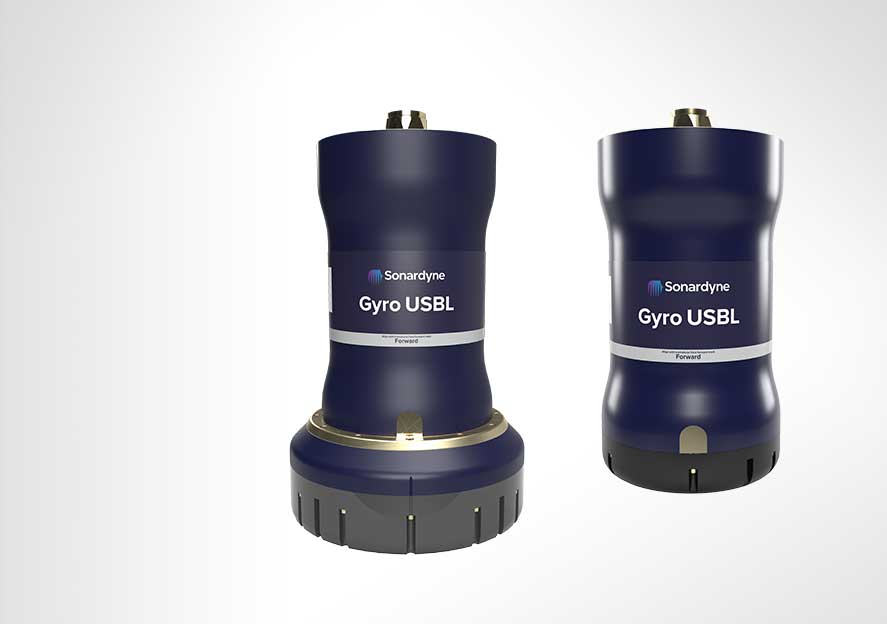
Combining our cutting-edge 6G acoustic transceiver with a high-performance AHRS, Gyro USBL eliminates the lever arm offsets, pole bending and ship flexing errors common in traditional USBL systems. Its compact, corrosion-resistant design ensures durability in any marine environment.
Upgrade your operations today
Discover how Gyro USBL can revolutionise your subsea projects. Contact us to learn more about this groundbreaking technology.
Performance
• Calibration free offering rapid mobilisation
• 7000 tested to better than 0.07% of slant range 1 DRMS
• Pitch and roll accuracy 0.01°
• Heave accuracy (real time) 5 cm or 5% (whichever the greater)
Design
• Works with Ranger 2 USBL and Marksman LUSBL systems
• 439 x 225 mm (5000 variant); 508 x 310 mm (7000 variant)
• 9 to 19 kg weight saving in air; 15 to 40% lighter than previous models
• Aluminium-bronze and plastic construction. ROHS compliant
• Calibration free offering rapid mobilisation
Acoustic and AHRS
• Heading accuracy 0.1° for ‘plus’ variant
• 7000 expected system slant range accuracy 1 DRMS (20 dB) 0.04°
• Pitch and roll accuracy 0.01°
• Heave accuracy (real time) 5 cm or 5% (whichever the greater
Ownership
• What’s in the box: Gyro USBL and manual
• Warranty: 1 year return to Sonardyne service centre
• ITAR Controlled: No
• UK Export License: required; US Export License: covered under de minimis
Specifications
| Feature | Gyro USBL 5000 Type 8084-0425 & Gyro USBL 5000+ Type 8084-0455 | Gyro USBL 7000 Type 8084-0427 & Gyro USBL 7000+ Type 8084-0457 | |
|---|---|---|---|
| Operational frequency | MF (20–34 kHz) | MF (20–34 kHz) | |
| Transceiver performance |
Operating range | Up to 7,000 m | Up to 7,000 m |
| Acoustic coverage | Up to ± 90° | Up to ±90° optimised for deepwater (dependant on frequency of operation) | |
| Range accuracy | Better than 15 mm | Better than 15 mm | |
| Expected system slant range accuracy 1 drms (20 dB) |
0.07% | 0.04% | |
| Transmit source level (dB re 1 µPa @ 1 m) | 200 dB | 200 dB | |
| Tone Equivalent Energy (TEE) | 206 dB | 206 dB | |
| Heading | Accuracy – Plus variant | 0.1° secant latitude | 0.1° secant latitude |
| Accuracy – Standard variant | 0.2° secant latitude | 0.2° secant latitude | |
| Settle time | <5 minutes in dynamic conditions | <5 minutes in dynamic conditions | |
| Pitch & roll (accuracy) | 0.01° | 0.01° | |
| Heave | Range | ±99 m | ±99 m |
| Accuracy (real time) | 5 cm or 5% (whichever the greater) | 5 cm or 5% (whichever the greater) | |
| Electrical | +48 V dc maximum 160 W |
+48 V dc maximum 160 W |
|
| Connector | AGP-2716 | AGP-2716 | |
| Communication | RS485, baud rate switchable, Ethernet 100 Mbps | RS485, baud rate switchable, Ethernet 100 Mbps | |
| Operating temperature | -5 to 40°C | -5 to 40°C | |
| Storage temperature | -20 to 45°C | -20 to 45°C | |
| Dimensions (length x diameter) | 400 x 225 mm | 469 x 310 mm | |
| Weight in air/water | 35.7/21.6 kg | 55.9/35.3 kg | |
| Note: The absolute accuracy of the system is dependent upon the beacon source level, vessel noise, water depth, mechanical rigidity of the transceiver deployment machine, SV knowledge and proper calibration of the total system using CASIUS |
Frequently asked questions
STP files
Software and firmware
Top tips
Datasheets
Manuals and quick start guides
Technical bulletin
Why Fetch is perfect for your operations
Think of Fetch as your underwater data hub. We work with you to integrate your chosen sensors, creating a reliable gateway to your subsea data that you can access remotely whenever needed.
Your advanced seabed geodesy projects demand precision and reliability. We’ve developed Fetch to deliver both, through seamless integration with our Ranger 2 system for efficient data collection.
We understand your commitment to reducing operational costs and environmental impact. Fetch helps you achieve both through long-term deployment capabilities and remote data harvesting, minimising vessel time and emissions.
Fetch your subsea data
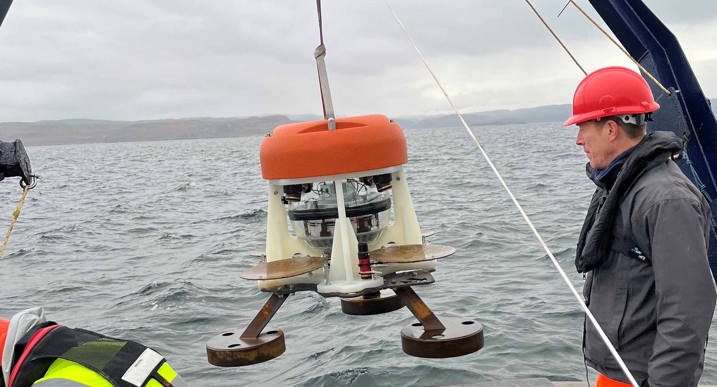
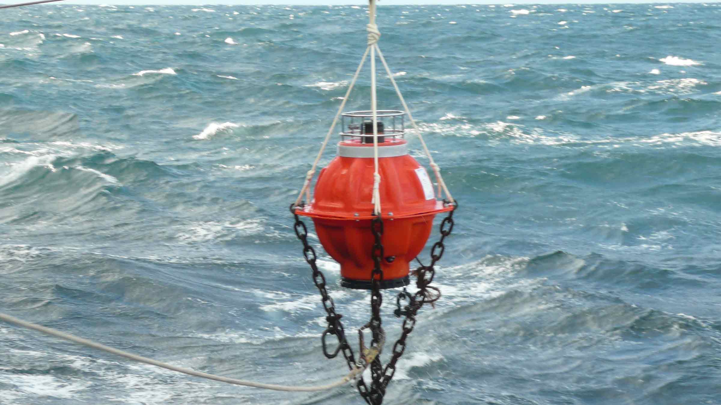
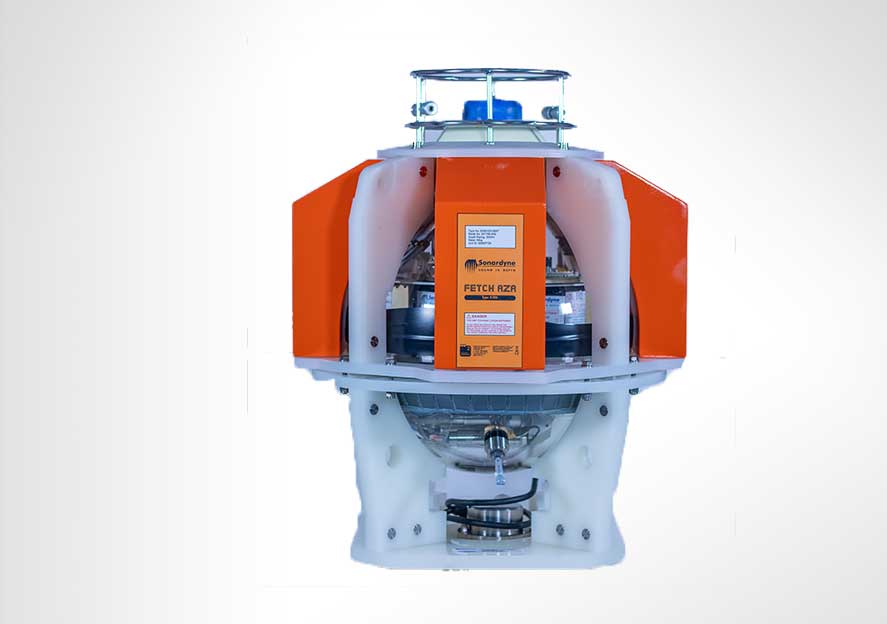
Fetch is a long-life subsea sensor logging node with a battery life option of up to 10 years that enables data to be wirelessly extracted via its integrated high speed acoustic modem. We’ve designed every aspect of Fetch to support your underwater monitoring needs, from its high-capacity battery packs to its compatibility with our Ultra-Short BaseLine (USBL) positioning systems. Our team brings decades of experience in subsea technology to help you achieve reliable, long-term monitoring success.
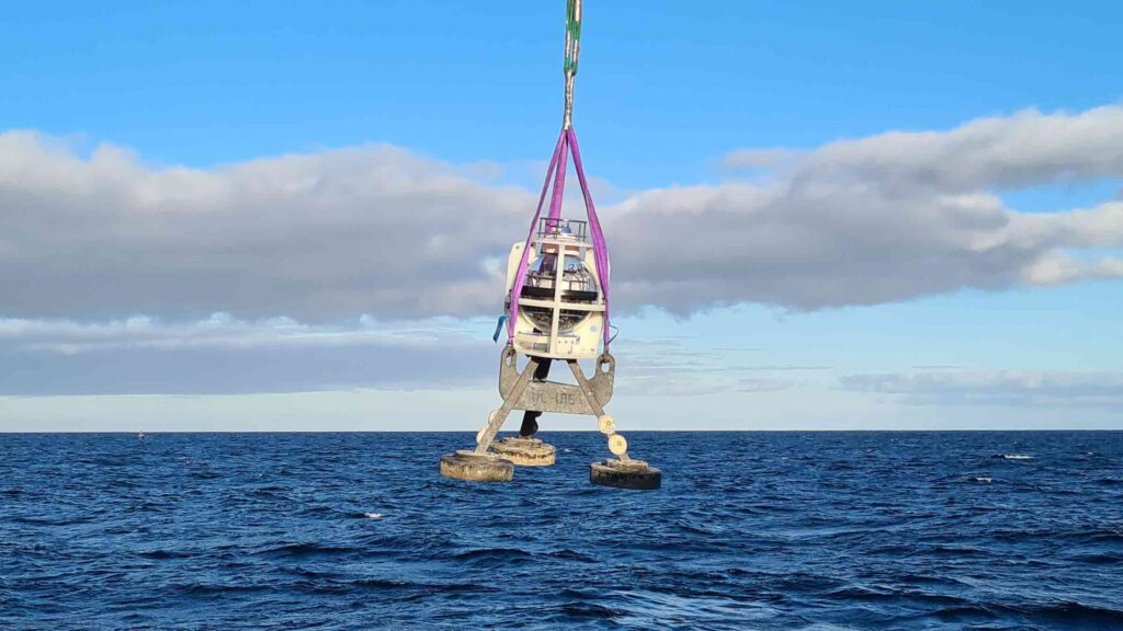
An innovative free-fall deployment system ensures your Fetch lands upright every time, saving you valuable vessel time and cost.
Your Fetch can be configured with an array of different sensors to suit your monitoring applications. Standard sensors include high accuracy pressure, temperature and sound velocity as well as inclination. Other sensors can be integrated internally or externally as required.
Smart power management means the subsea sensor logging nodes only activate when needed, maximising battery life. Data captured by the active nodes is time-stamped and stored on an SD memory card ready for retrieval,
You can configure your sampling regime before deployment and update it in-situ via the acoustic modem which is also used to recover the data to the surface. The 9,000 bits per second modem transfer rate enables data to be extracted in minimal vessel time so reducing your operational costs.
When you’re ready to retrieve your Fetch, a simple acoustic command brings it safely to the surface under its own buoyancy ready for collection.
Specifications
| Feature | Type 8306-3873 | |
|---|---|---|
| Depth Rating | 3,000 or 6,000 m | |
| Operating Frequency | MF (20–34 kHz) | |
| Transducer Beam Shape | Directional | |
| Transmit Source Level (dB re 1 µPa @ 1 m) | 190-202 dB (4 levels) | |
| Receive Sensitivity (dB re 1 µPa) | 90-120 dB (7 levels) | |
| Battery Life (Capacity) | 5 years typical (10 years option) (dependent on sensors and sampling interval (180 Ah)) |
|
| Mechanical Construction | Glass sphere, galvanised stand and duplex stainless steel guards and connectors |
|
| Operating Temperature | -5 to +35°C | |
| Storage Temperature | With Batteries | 0 to +30°C |
| Without Batteries | -5 to +35°C | |
| Weight in Air/Water | Fetch | 40/10 kg (upthrust buoyancy) |
| Stand | 60/52 kg | |
| Sensors and Options | ||
| Temperature (±0.1°C) | Optional | |
| Tilt Switch (±30–45°) | Standard | |
| Paroscientific DigiQuartz Pressure Sensor (±0.01%) 1,350 m, 2,000 m, 4,130 m, 6,800 m |
Optional | |
| Strain Gauge Pressure Sensor (±0.1%) | Standard | |
| High Precision Strain Gauge (±0.01%) Keller or Presens | Optional | |
| Sound Velocity Sensor ±0.02 m/s Accuracy Under Calibration Conditions |
Optional | |
| High Accuracy Inclinometer Range: ±90°, Accuracy: ±0.05° over 0 – ±15°; ±0.2° over 0 – ±45° |
Optional | |
| Release Mechanism (Screw-off) | Standard | |
| Connector Type | Impulse MCIL-8-MP | |
Software and firmware
Datasheets
Manuals and quick start guides
Performance
• 3,000 or 6,000 m depth rated
• Vessel, USV or AUV data harvesting options
• Anti-trawl fame option available
• High capacity primary lithium battery pack – up to 10 year deployment life
Design
• Integrated modem with data rates ranging from 100 to 9000 bps
• Customisable sensor payloads
• Glass sphere, titanium parts (except duplex s/steel guard), polypropylene shell
• Easy to set up with configuration and sampling period programmable via telemetry link
Acoustic
• Integrated modem with data rates ranging from 100 to 9000 bps
• 500 Unique addresses, ideal for large array deployments
• Sonardyne Wideband1, 2, 2+ and HPR 400 USBL mode compatible
Set-up
• Warranty: 1-year return to Sonardyne service centre
• ITAR Controlled: No
• UK Export License: Not required
Why Fetch AZA is perfect for your operations
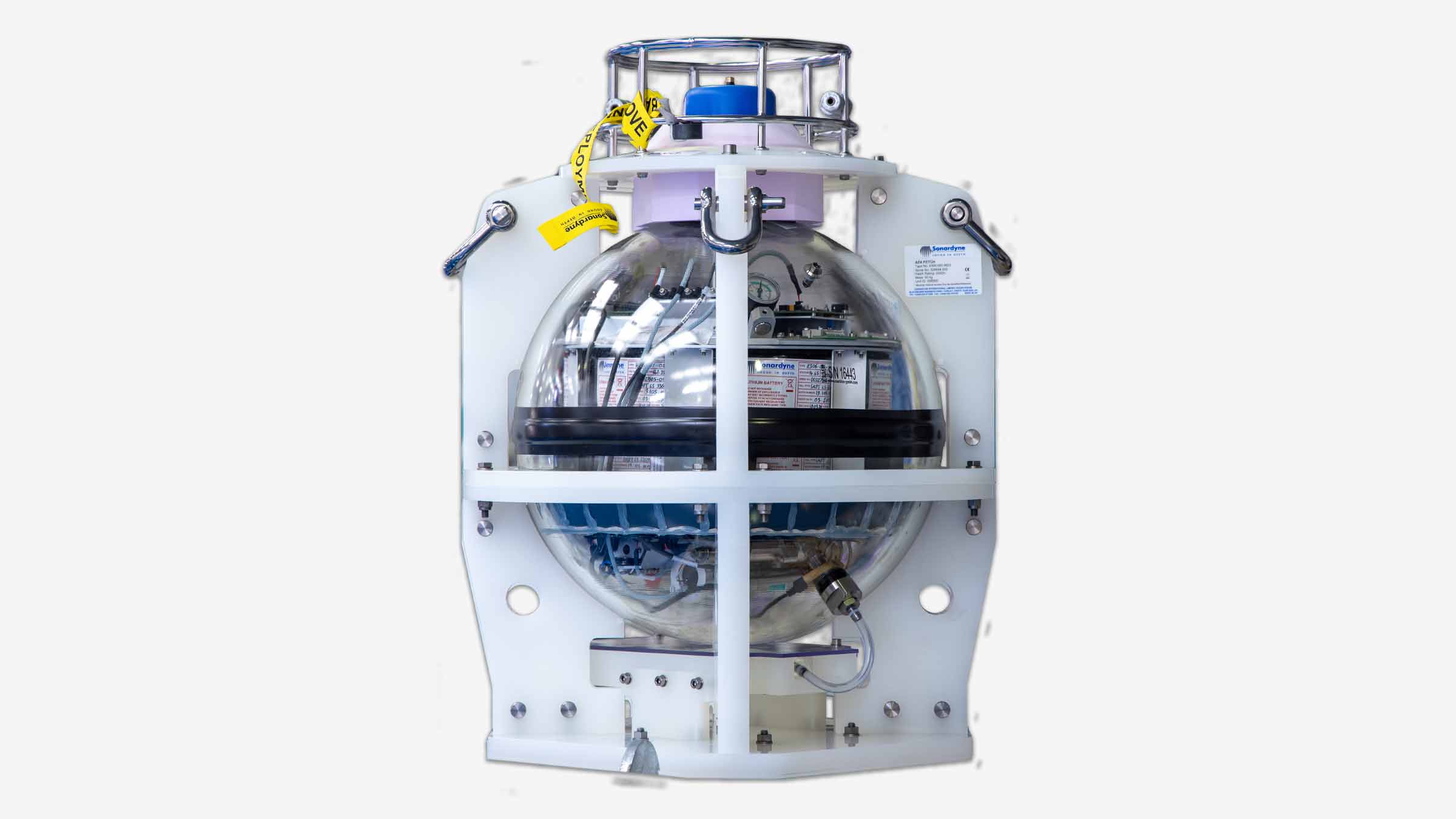
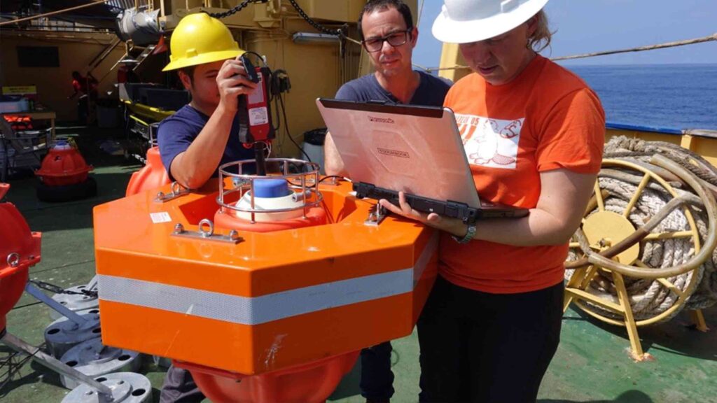
Your Fetch AZA system offers a comprehensive solution transforming your ocean monitoring operations across multiple applications, including environmental surveys, seabed deformation monitoring, and low-cost in-situ ocean surveillance. Unlike traditional pressure sensors, which suffer from drift over time, the Fetch AZA technology autonomously recalibrates in-situ.
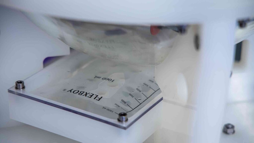
A unique control system periodically cycles the pressure sensor from ambient seabed pressure to near-zero, enabling comparison to a highly accurate low-pressure reference sensor for calibration. The reference sensor is never subjected to ambient pressure and is accurate to changes of less than a millibar, or about 1cm of head of water.
The sensors are low power, allowing for long endurance deployments, and provide time-stamped data, which is often critical to your commercial or scientific objectives. With their in-built data storage and high-speed modem capacity, they can support your data collection and harvesting using a wide range of other Sonardyne and third-party sensors (High precision temperature and sound velocity as well as inclination) and are compatible with any Sonardyne 6G equipment, including Ultra-Short BaseLine (USBL) systems and modems.
For science
These capabilities have created an instrument that revolutionises seabed measurements, across ocean science and the commercial sectors. Scientists can now undertake measurements, critical to understanding tectonic processes, at a resolution they’ve never been able to achieve before.
Scottish Association for Marine Science (SAMS) research using Fetch AZA
For business
In the commercial sphere, Fetch AZA meets upstream production companies’ long-term goals of measuring 1 cm/year of vertical movement across their energy fields. These fine-scale measurements provide a powerful tool for proactive reservoir management throughout their lifecycle. This is a key enabler for maximising economic recovery.
Its remote capabilities represent a significant operational advantage, as data can be retrieved using Uncrewed Surface Vessels (USVs) from over-the-horizon locations, eliminating the need for expensive crewed vessels and reducing your costs, personnel risks and environmental impact.
This combination of remote operation, sustained accuracy, and precise repeatability makes the Fetch AZA an ideal choice if you are seeking a reliable, cost-effective ocean monitoring solution.
Performance
• Self-calibrating pressure sensor
• 3,000 m and 6,000 m depth rated versions
• MF and LMF operating frequency options
• Up to 10 year battery life
Design
• Neutral buoyancy in water for easy recovery
• Anti trawl frame option available
• Glass sphere, duplex s/steel guard, PVC shell, titanium ports construction
General
• Well suited for USV data harvesting
• Can be configured with a wide range of sensors
• Different deployment and recovery options provide flexibility for your operations
Support
• Work side-by-side with our Projects Group from concept to deployment
• Work with our experienced team about our USV data harvesting service
• 24-hour support, whenever and wherever you are in the world
• Systems are manufactured and tested before delivery at our world-class in-house facilities
Specifications
| Feature | Type 8306 | |
|---|---|---|
| Depth Rating | 3,000 m | |
| Operating Frequency | MF (20–34 kHz) | |
| Transducer Beam Shape | Directional/omni-directional | |
| Transmit Source Level (dB re 1 µPa @ 1 m) | 190–202/187–196 dB | |
| Receive Sensitivity (dB re 1 µPa) | <85 dB | |
| Communications | Acoustic modem & Bluetooth wireless | |
| Battery Life (Lithium) | 10 years typical, (504 Ah) (dependent on sensors and sampling interval) | |
| Mechanical Construction | Glass sphere, duplex s/steel guard, PVC shell and titanium ports | |
| Operating Temperature | -5 to +35°C | |
| Storage Temperature | With Batteries | 0 to +30°C |
| Without Batteries | -5 to +35°C | |
| Mass | With Stand | 145 kg |
| Without Stand | 62 kg | |
| Weight in Water | With Stand | 830 N |
| Without Stand | 25 N (negative buoyancy) | |
| Sensors and Options | ||
| AZA In-situ Self-Calibration Mechanism | Standard | |
| High Precision Temperature Sensor (±0.015°C) | Standard | |
| Transfer Pressure Sensor | Quartz, (±0.01%) | Standard |
| 2nd Quartz | Option | |
| Ambient Pressure Sensor | Strain Gauge, (±0.01%) | Standard |
| Strain Gauge, (±0.19%) | Option | |
| Low-Range Pressure Sensor (Strain Gauge, 2 bar (±0.01%)) | Standard | |
| Sound Velocity Sensor ±0.02 m/s Accuracy Under Calibration Conditions |
Option | |
| MEMS Inclinometer (±1°) | Standard | |
| High Precision Inclinometer (±0.05°) | Option | |
| Acoustic Baseline Ranging | Option | |
| Release Mechanism (Screw-off) | Option | |
| Battery Disconnect Fob | Standard | |
| Stand/Mud Feet | Option |
Software and firmware
Datasheets
Manuals and quick start guides
Revolutionary technology at your service
Key advantages for your operations
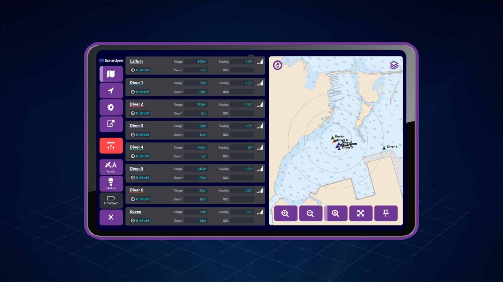
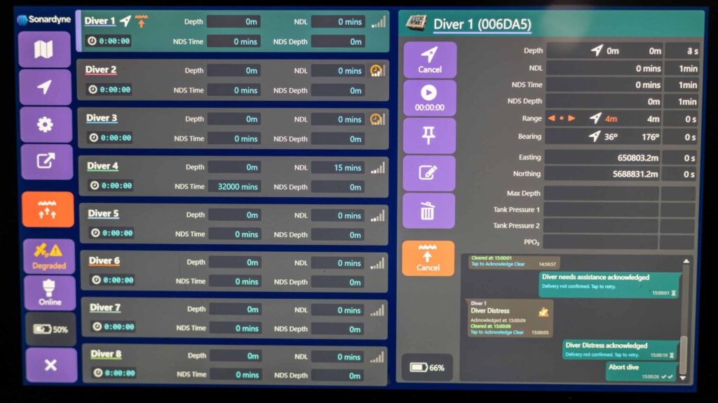
- Real-time tracking and communication with your dive teams
- Intuitive operation – no acoustic expertise needed
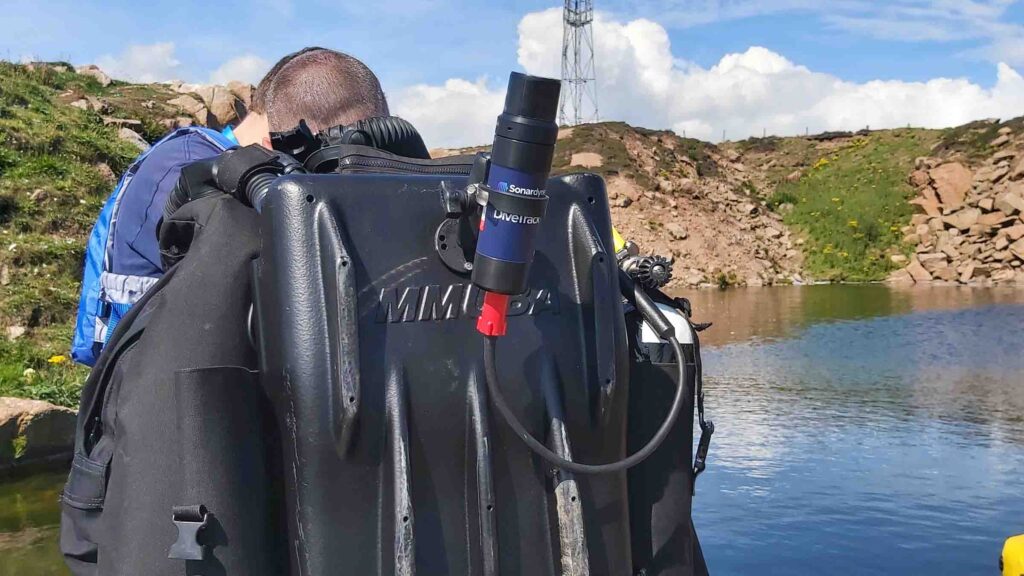
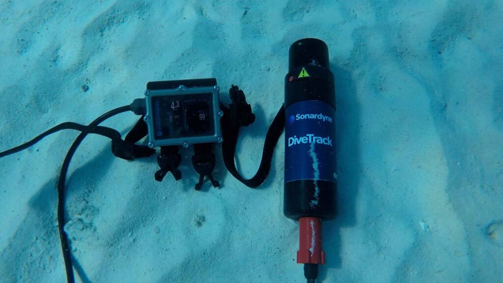
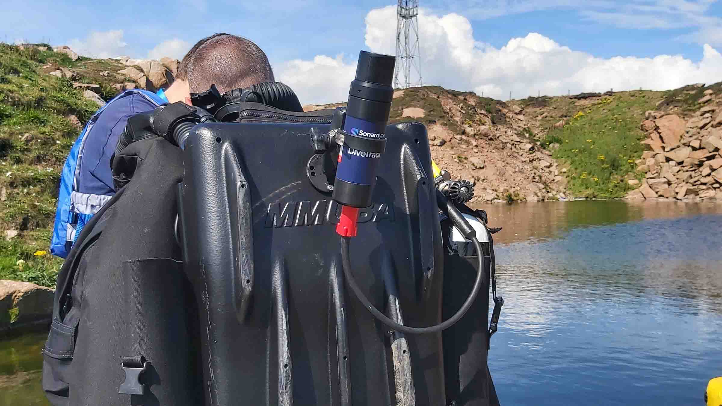
- Seamless integration with industry-leading dive computers and rebreathers from Shearwater Research and JFD
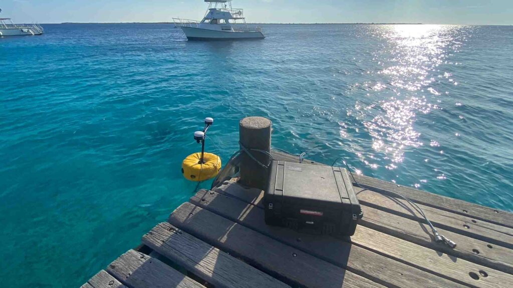
- Quick deployment from dockside or RHIB with our simple deployment kit
- Unrestricted by export controls
Our breakthrough digital signal architecture delivers you:
- Superior performance in challenging shallow water environments
- Extended range capability for long-distance dive profiles
- Simultaneous tracking of all divers
- Intelligent acoustic management
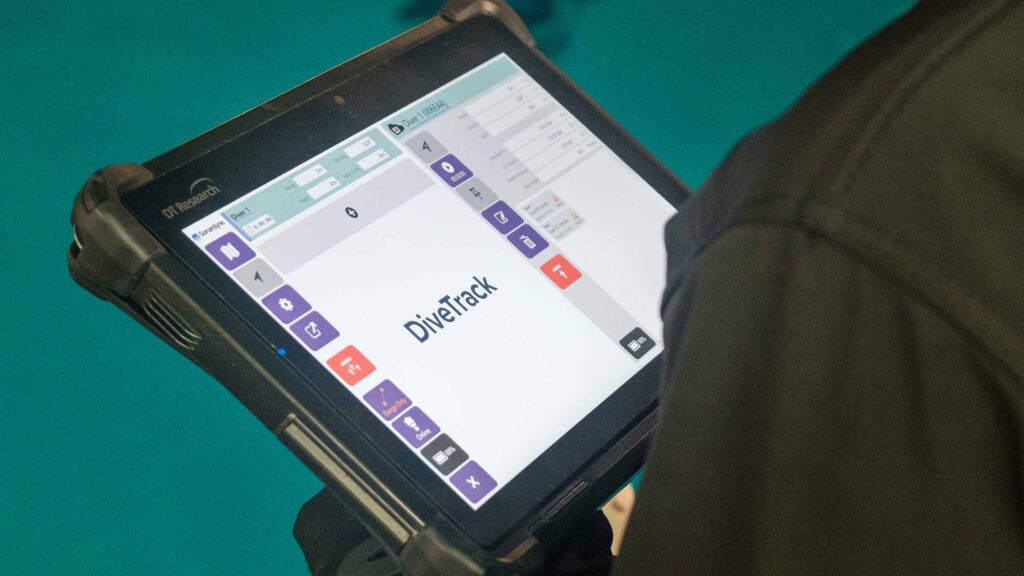
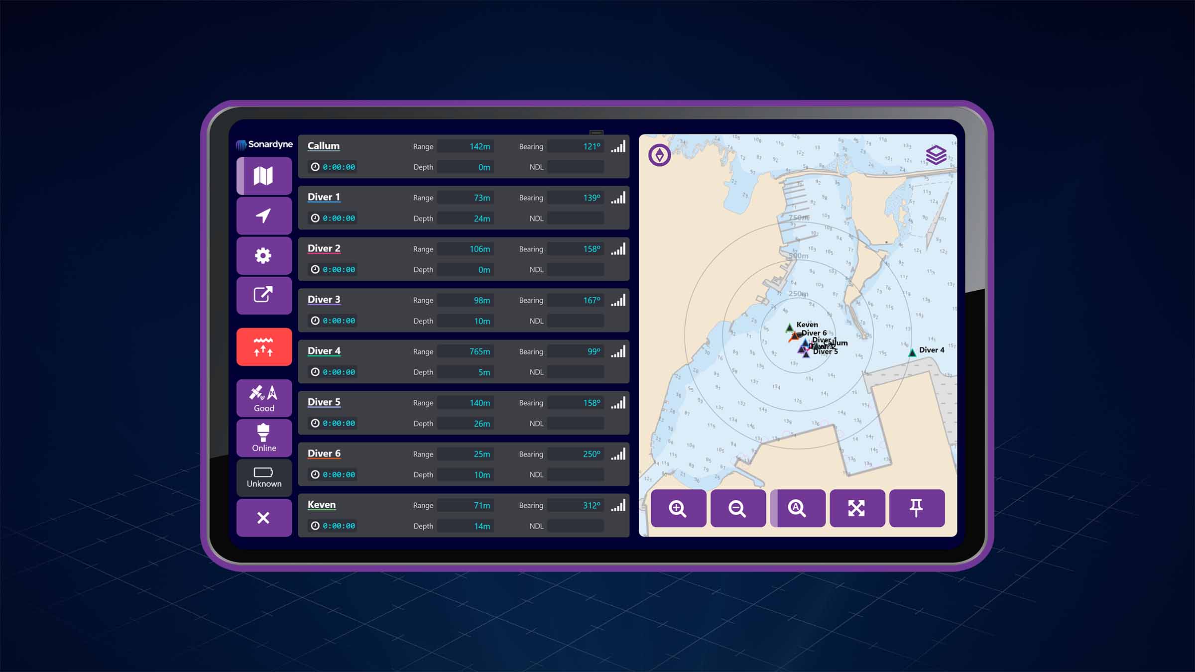
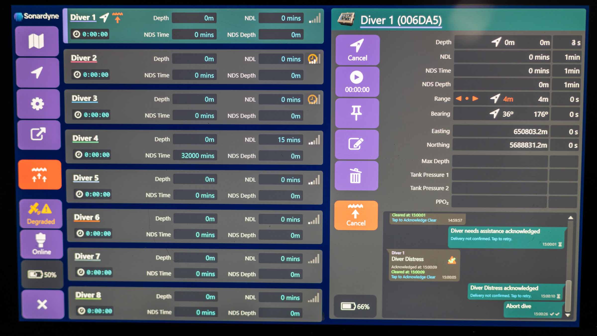
- Real-time updates through our intuitive interface
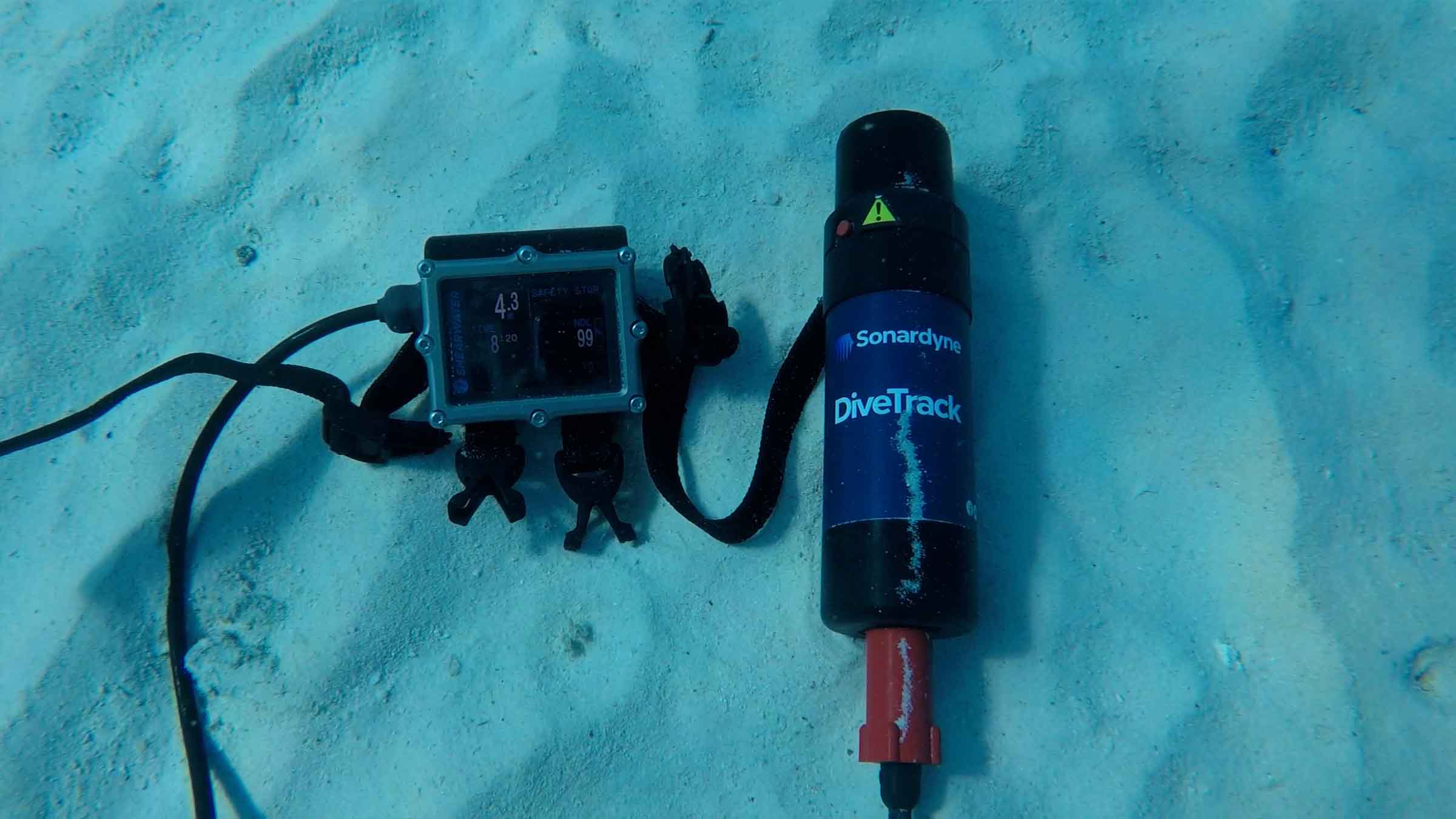
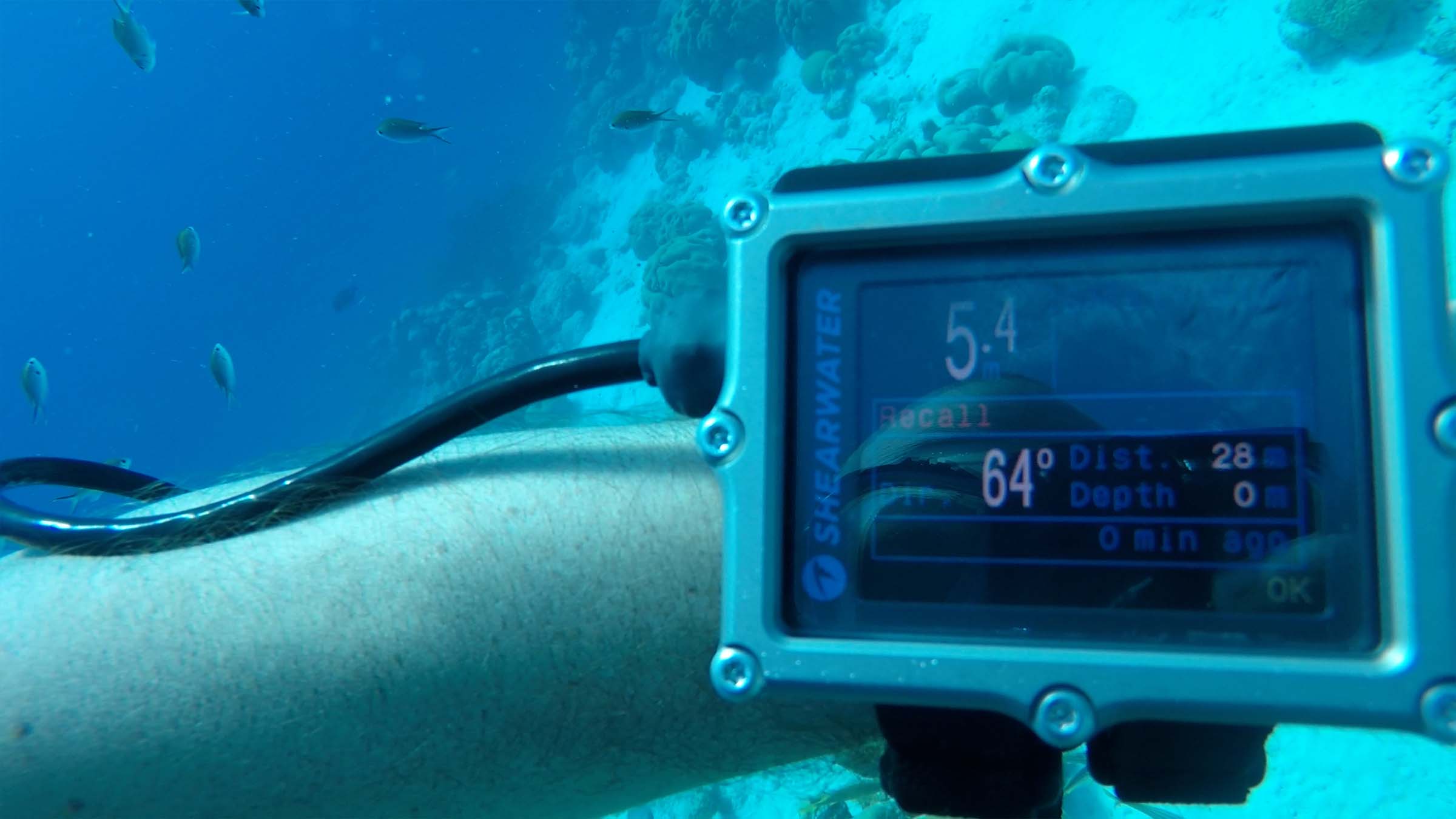
DiveTrack testing with Shearwater
Built for real-world performance
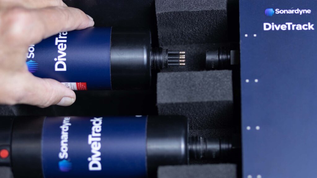
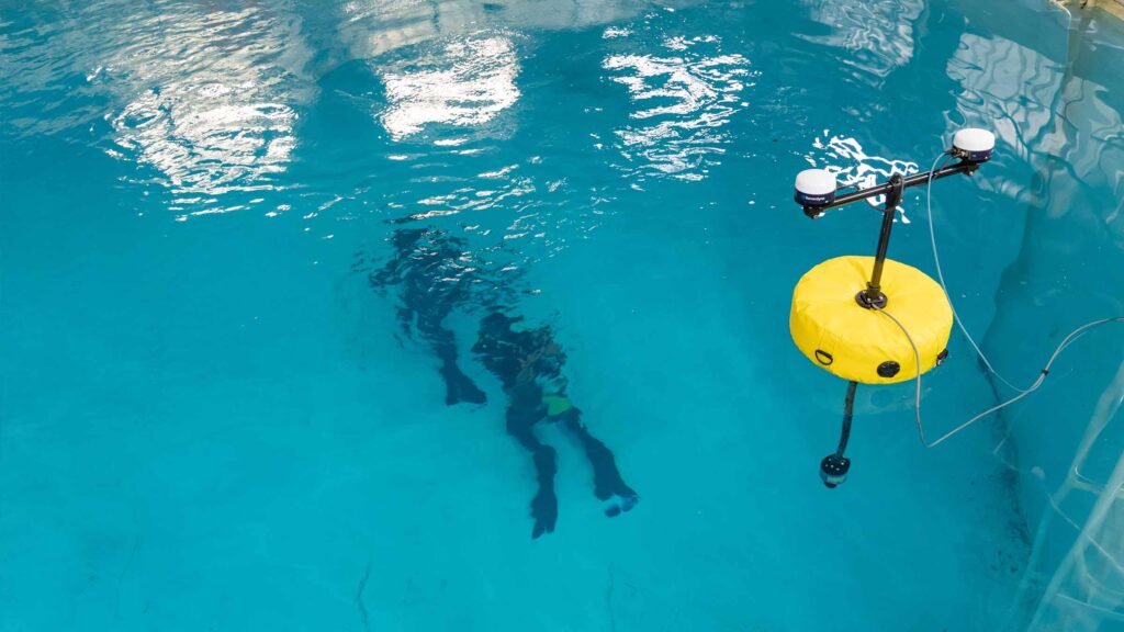
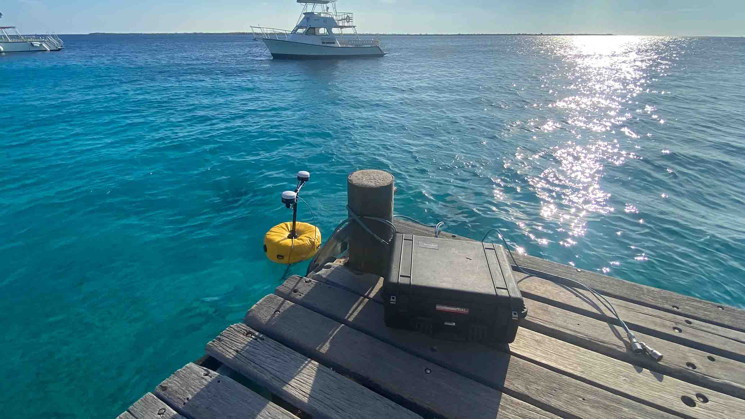
DiveTrack gives you complete visibility of your dive operations. Building on our expertise in USBL and telemetry systems, we’re helping you push the boundaries of what’s possible in diver training and operations – all from just two rugged, easily portable, Peli cases.
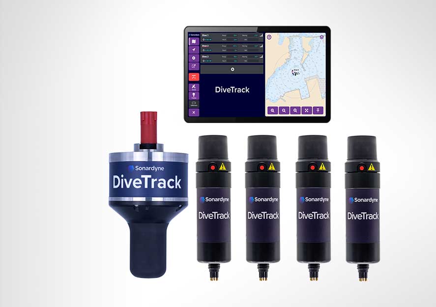
Your complete solution includes:
Compact command unit housed in an IP-67 rated Peli case featuring:
- Up to 10 hours of battery life
- Integrated USBL positioning
- 10-metre cable
- Wi-Fi connectivity
- GNSS heading for calibration-free setup
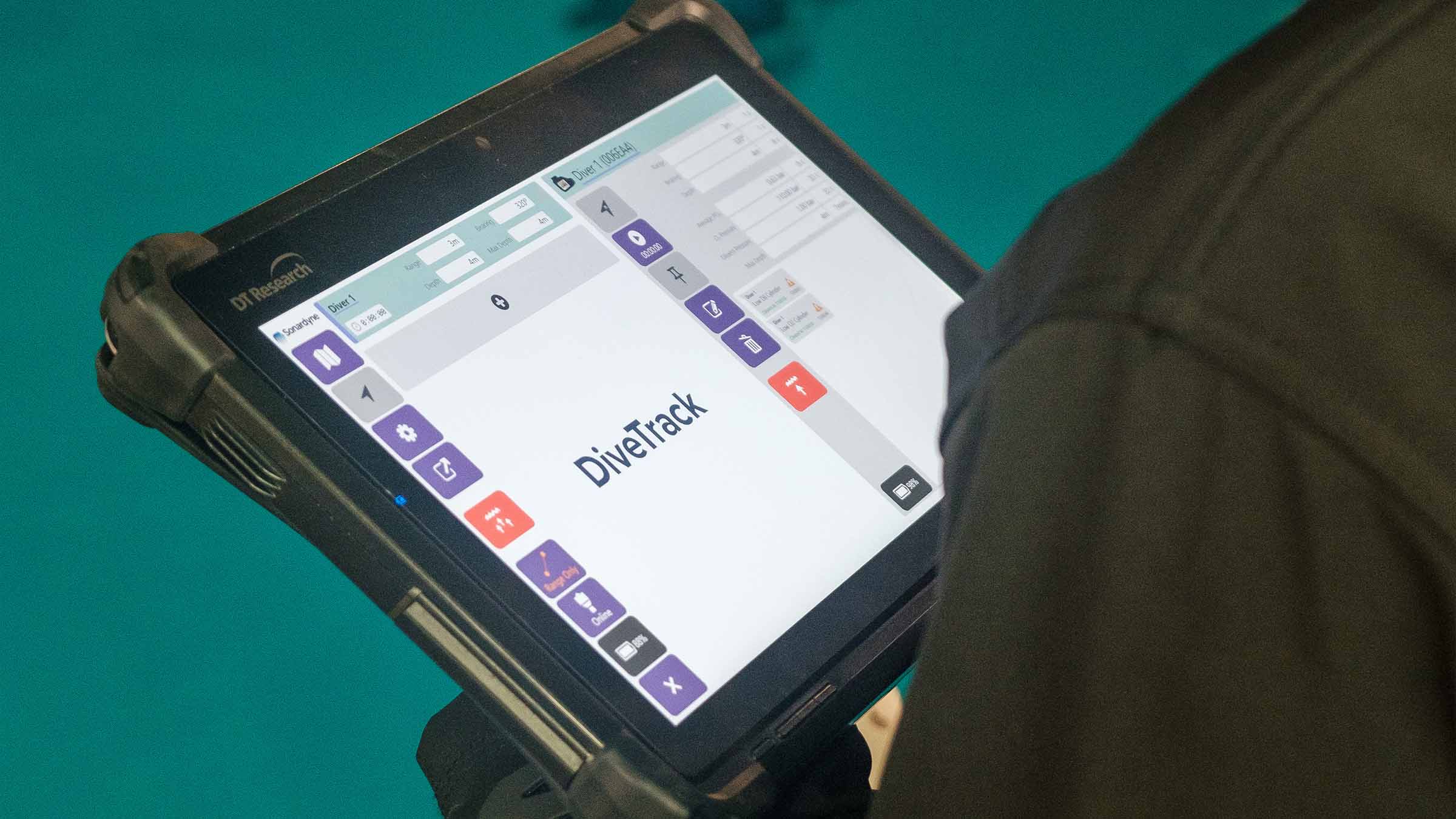
- Space for your laptop or tablet
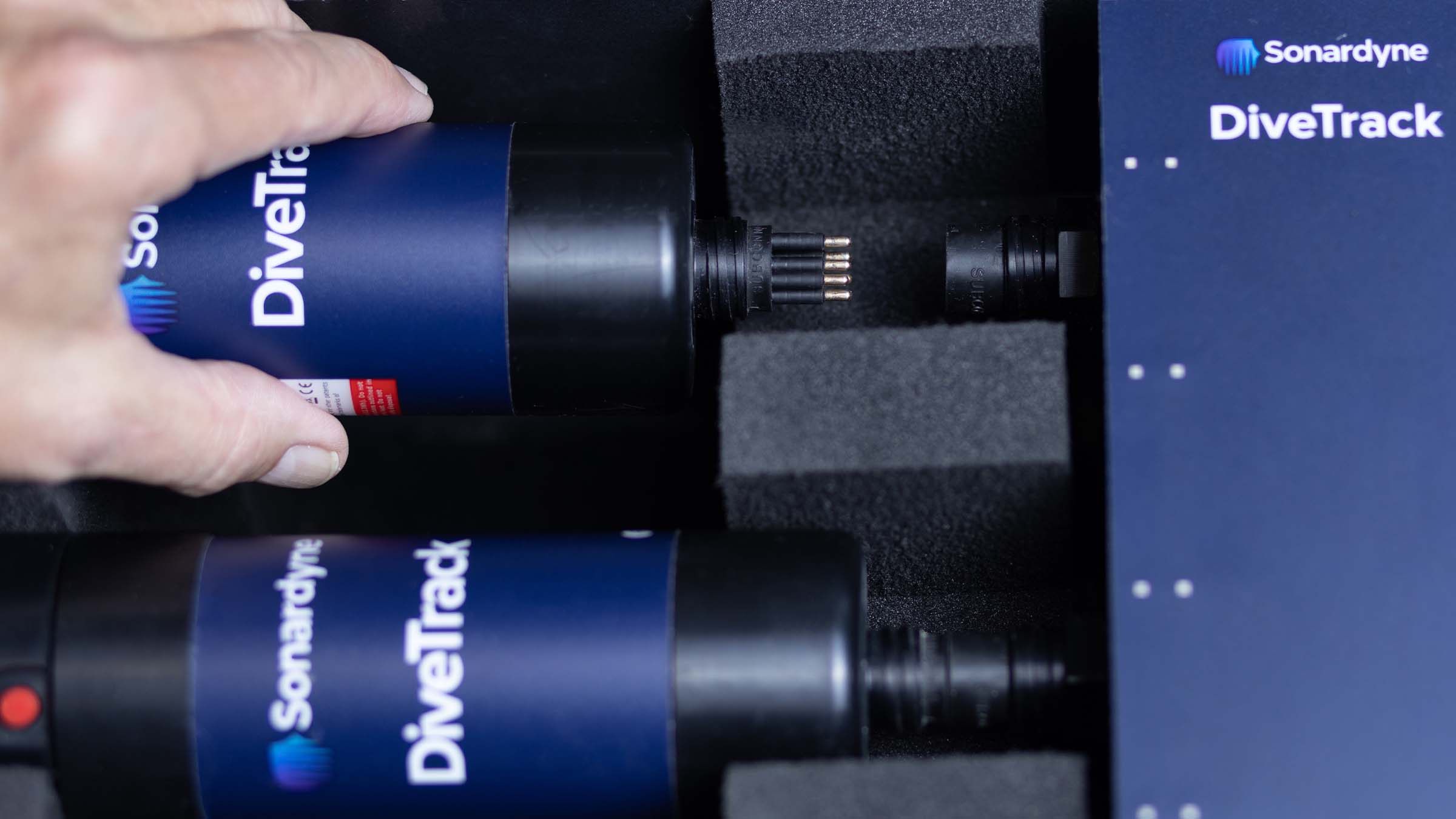
Intelligent charging station in a second Peli case:
- Charges up to 8 DiveTrack transponders
- Secure transport configuration
- Automatic ‘safe flight mode’ when stored
- 10+ hours of operational endurance per transponder
- Universal connector system for various dive computers
Working with industry leaders for the perfect setup
- The Sonardyne solution
- Shearwater integration
- JFD compatibility
The Sonardyne solution
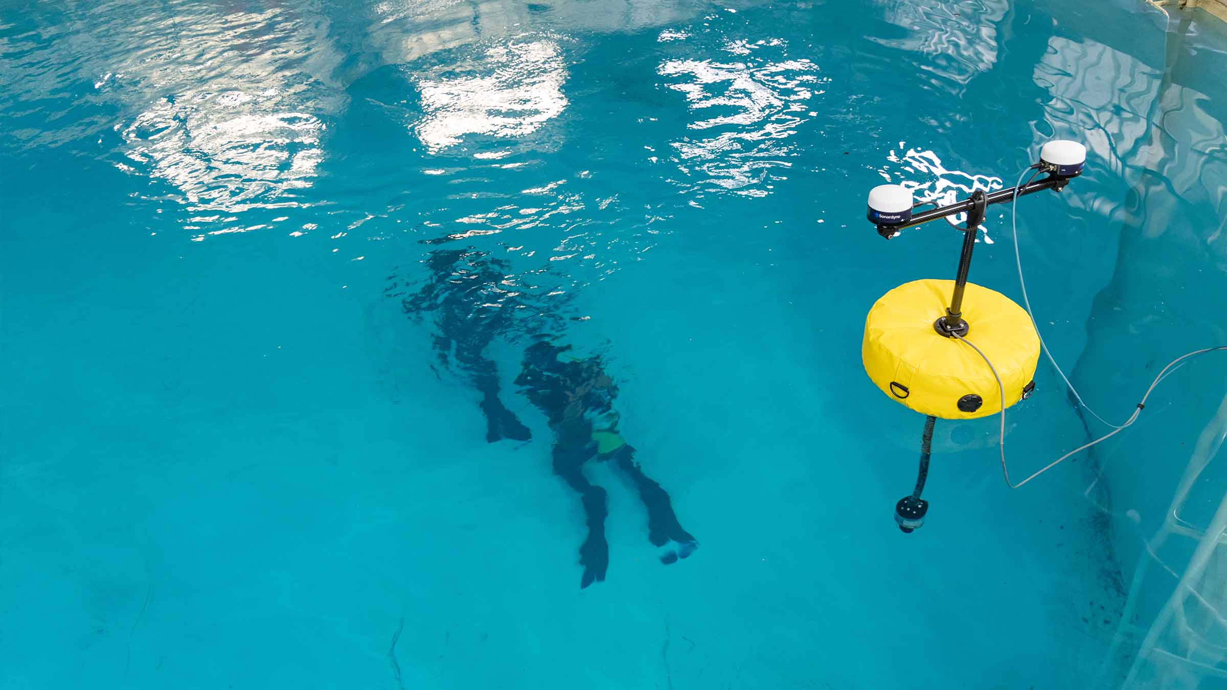
Your rugged, rapidly deployable DiveTrack system arrives ready to go for you to get your divers in the water fast. Whether it’s from vessels or shore, all it needs is a laptop or tablet to connect to and you’re ready to dive in.
To further enhance its capabilities, extend your missions and increase the amount of information you can transmit and receive, we have worked closely with leading diving industry partners to integrate DiveTrack with their products and to give you several options in terms of performance and functionality.
Shearwater integration
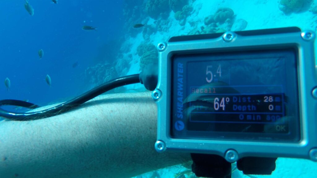
We’ve collaborated with Shearwater to bring you enhanced capabilities through integration with their Petrel 2 and DiveCAN systems. This enables you to:
• Monitor crucial dive parameters in real-time
• Guide divers with dynamic navigation updates
• Enable two-way safety communication
• Coordinate team movements efficiently
• Track tank pressures
• Send recall signals
• Update mission parameters
JFD compatibility
Our work in partnership with JFD has given you the ability to take your military spec Stealth and Shadow rebreather operations further to give you:
• Real-time monitoring of vital diver metrics including average PO2, diluent and O2 pressure
• Instant system alerts and warnings
• Comprehensive system integration
• Extended capabilities for tactical diving vehicles
• Compatibility with JFD’s diver health monitoring systems
• Tank pressure levels
• Depth readings
Performance
• Up to 5% slant range
• 8 targets tracked simultaneously
• >1500 m max tracking range
• >10 hours battery life
Design
• Portable, rugged
• Simple to connect and deploy
• Easy to use, training available if required
• Developed with divers, for divers
Ownership
• Warranty: 1 year return to Sonardyne service centre
• ITAR Controlled: No
• UK Export License: Not required
• Configure a system including DiveTrack command unit, transponder transport box with 4/8 transponders, buoy/vessel deployment kit, tablet
Acoustic
• MF frequency (20-28 kHz)
• Uniquely addressed transponders for ease of use
• Digital signal architecture for high-level shallow water performance
• Omni-directional tracking and data exchange
Specifications
| Feature | DiveTrack Transceiver | DiveTrack Transponder |
|---|---|---|
| Operating range | >1,500 m | >1,500 m |
| Depth rating | n/a | 100 m |
| Frequency band | MF (20-28 kHz) | MF (20-28 kHz) |
| Transducer beam shape | Omni-directional ±130º | Omni-directional ±130º |
| Source level (re 1 µPa @ 1 m) | 181 dB | 181 dB |
| Range precision | Better than 15 mm | Better than 15 mm |
| Position accuracy | 3-5% slant range | n/a |
| Communication interface | Ethernet/Wi-Fi | RS232/CANbus |
| Depth sensor | n/a | 10 bar abs ±0.7% full scale |
| Power supply | 12/24 V dc & 115/230 V ac | 12/24 V dc |
| Power consumption – charging | ~30 W | ~6 W |
| Battery life – Quiescent listening | n/a | >3 days |
| Battery life – at DiveTrack ping rate | >10 hours | >10 hours |
| External connections | Bulgin 6000 series | Subconn MCIL8M |
| Mechanical construction | Polymer & Stainless Steel | Polymer |
| Operating temperature | -15 to 50°C | -30 to 50°C |
| Storage temperature | -30 to 55°C | 30 to 55°C |
| Dimensions (length x width x depth) | 177 x 106 x 106 mm | 192 x 55 x 55 mm |
| Weight in air/water | 1.84/0.99 kg | 584/162 g |
| Peli case dimensions (length x width x depth) | 524 x 428 x 206 mm | 524 x 428 x 206 mm |
| Peli case weight in air | 13 kg | 13 kg |
