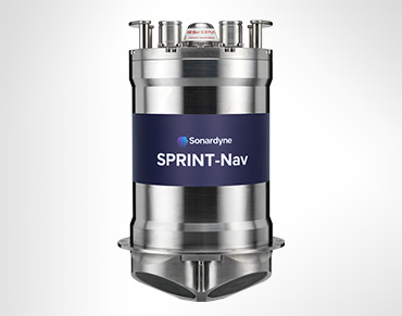
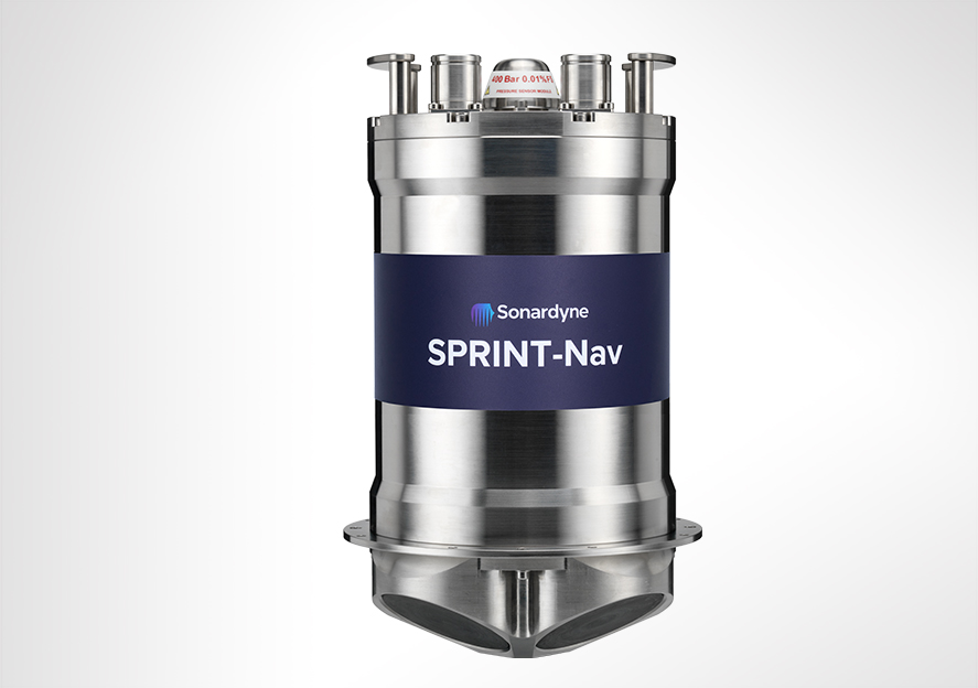
SPRINT-Nav DP
Overview
Independent. Accurate. Ready to go.
Developed from our SPRINT-Nav family, with its ten years of proven operational excellence, SPRINT-Nav DP combines INS and DVL technology to provide a robust dynamic positioning (DP) reference alternative in GNSS-denied locations. Perfect for the increasing demand for shallow water DP operations, SPRINT-Nav DP has you covered.
What's possible
GNSS is your trusted DP reference input. But what if that signal vanishes? Don't let a dropped connection halt your operations Introducing SPRINT-Nav DP – your ultimate second dynamic positioning system.
Forged from a decade of proven excellence with our SPRINT family, this cutting-edge system seamlessly integrates INS and DVL technology, delivering an unshakeable DP reference, especially in GNSS-denied environments. SPRINT-Nav DP is crucial for the growing demands of shallow water operations, ensuring pinpoint accuracy and rock-solid reliability, keeping you on course no matter what. Like all our SPRINT-Nav product family, it’s pre-calibrated, so you can start working right away.
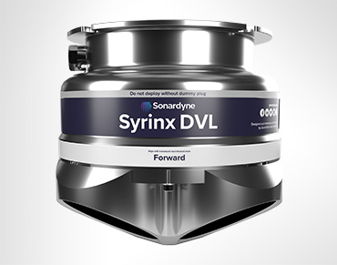
Built for DP class 2, and above operations, its Inertial Measurement Unit (IMU), featuring Honeywell ring laser gyros and accelerometers, works closely with the Syrinx DVL and the pressure sensor. This integration ensures unparalleled accuracy and reliability when dynamically positioning your vessel.
SPRINT-Nav DP saves time and costs while offering unmatched performance and reliability for a range of applications. With SPRINT-Nav DP, you don’t need to deploy other equipment such as transponders or reflectors as the Syrinx DVL locks onto the seabed for its positioning reference. This also increases the operational footprint of your vessel, which is otherwise limited in range or by weather conditions when using sensors.
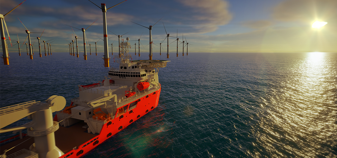
Using bottom lock on the seabed, alongside pre-calibration, means that SPRINT-Nav DP is operational and can provide your position references as soon as it arrives on site. This makes it ideal for a wide range of shallow water and nearshore operations where GNSS signals are often spoofed, blocked or distorted by nearby structures such as turbines and risers or coastal geography.
Why choose SPRINT-Nav for your DP operations?
Realising the value from tightly integrating high grade INS with other aiding sensors, Sonardyne was the first company to market a hybrid acoustic-inertial family of products for subsea and surface applications – SPRINT-Nav.
The SPRINT-Nav family of instruments has been providing reliable navigation for ROV’s, AUV’s, and USV’s for more than a decade in the harshest of subsea environments, where precision, accuracy and reliability is paramount, and where there is no GNSS signal to depend on.
Renowned for dependable performance, they are the standard fit on hundreds of vehicles operating in the subsea domain. This experience, technology and expertise have led to the development of SPRINT-Nav DP for vessels operating in shallow water where a GNSS signal can’t be relied on.
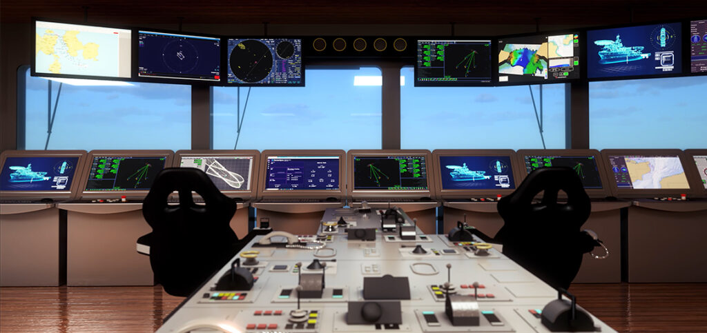
By law, ships using dynamic positioning must have a number of independent position reference sensors, using different principles, to safely determine and maintain their position. This is known as “meeting class” and the number of independent references required depends on the type of class vessel. Most DP vessels operating in shallow water are class 2.
In shallow water operations, it can be a challenge to meet the requirements for independence and diversity of reference sensors. This can lead to an over reliance on multiple GNSS systems with their common vulnerabilities and failure points.
Removing the need for GNSS to give a DP reference by introducing SPRINT-Nav DP provides you with assurance that your positioning isn’t entirely reliant on a GNSS signal and will therefore still “meet class” in GNSS denied areas. Enabling you to operate safely and within the law.


Performance
• Heading accuracy 0.04° (secant latitude)
• 0.01° Pitch/Roll accuracy
• 0.02% Typical survey accuracy
• Station keeping <2m over 24 hours
• Provides bottom lock up to 230 m
Ownership
• What’s in the box: SPRINT-Nav and test lead
• Warranty: 1 year return to Sonardyne service centre
• ITAR Controlled: No
• UK Export License: Yes
Design
• 240 x 395 mm, 13.1 kg weight in water (100 m depth rating)
• Titanium housing construction
• Onboard data storage and battery backup to ride through brown outs
• Individually water blocked and replaceable DVL transducers
• In field remote performance upgrades: Yes
Applications
• Subsea structure installation
• Nearshore construction
• Station keeping
• Dynamic positioning in GNSS-denied environments
• Offshore windfarm development
• Coastal and nearshore operations
Specifications table
| Performance | SPRINT-Nav DP | |
|---|---|---|
| DVL aided | Typical survey | 0.04% |
| Distance from origin | 0.12% | |
| High Altitude (HA) option | 0.12% | |
| Unaided | 1.2 m in 60 s | |
| Altitude min/max | Standard | 0.4/230 m |
| GNSS aided | Precision improvement | Up to 7x better |
| Station keeping | <2 m over 24 hours | |
| INS/AHRS heading (Secant latitude) (1DRMS) | 0.05º | |
| Roll and pitch (1DRMS) | 0.01º | |
| Pressure sensor | 0.01% | |
| ADCP | Profiling range | 0.4–120 m |
| Velocity range & RMS (along beam) | Up to ±8.4 m/s ±0.4% of measured value | |
| Maximum number of cells | 2557 | |
| Maximum ping rate | 1 Hz (ADCP) | |
| Power | ||
| Power requirements | DVL on and battery fully charged | 24 V ± 10% dc, 15 W nominal, 35 W maximum |
| Internal battery backup | Li-ion/5 minutes | |
| Physical/comms | ||
| Data storage | >1 week of data logging | |
| Ports/protocol | 1x RS485 full duplex, Web UI, TCP/UDP | |
| Other ports | 2 triggers for PPS from GNSS | |
| Mechanical construction | Titanium | |
| Dimensions (diameter x height) (excluding deployment pole mount) |
240 x 395 mm | |
| Weight air/water | 23.9/13.1 kg | |
| Environmental and EMC | ||
| Depth rating | 100 m | |
| Operating temperature | -5 to 50°C | |
| Storage temperature | -25 to 55°C | |
| Standards | EN60945, CE, UKCA |