SPRINT-Nav Mini
Mini in size, big in performance
Small but mighty
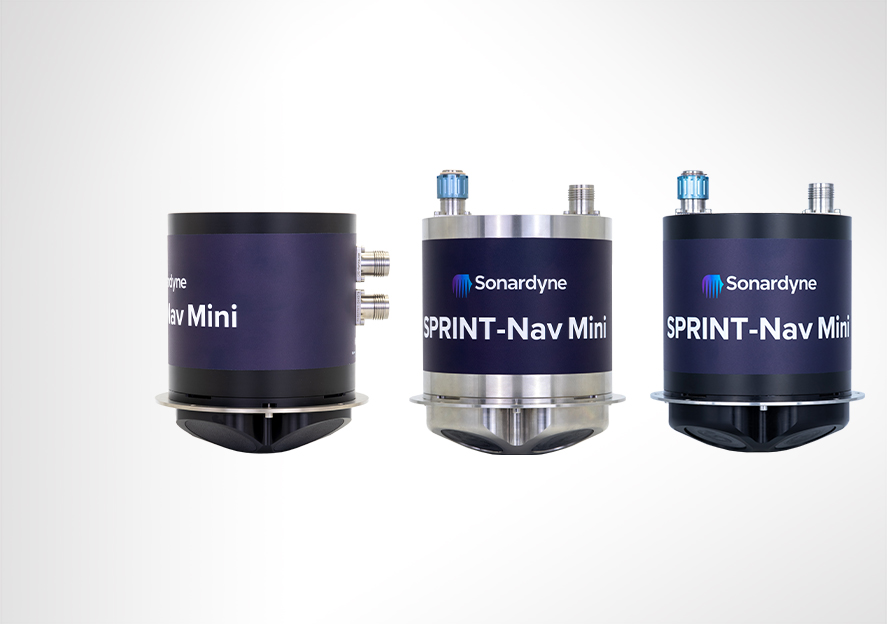
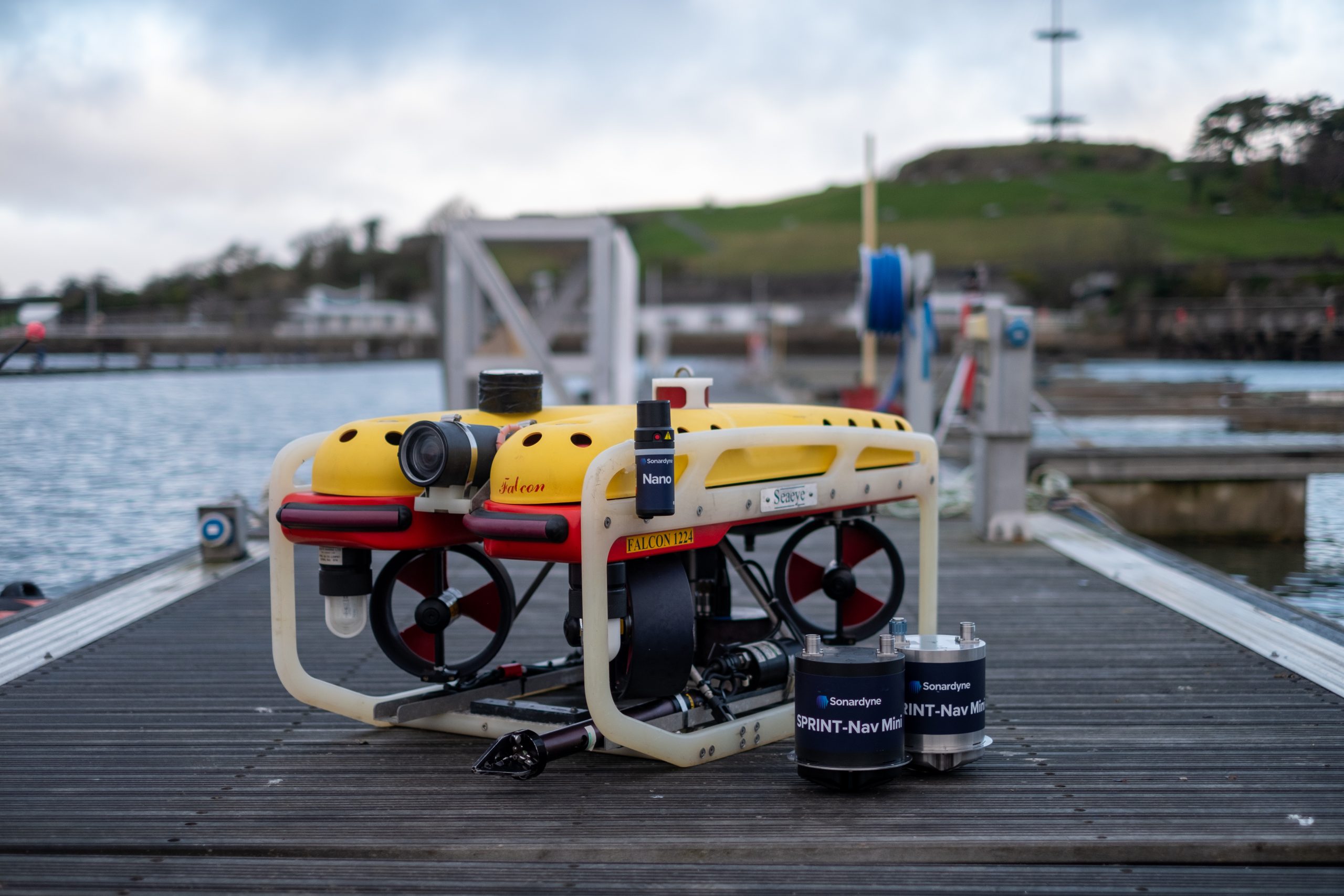
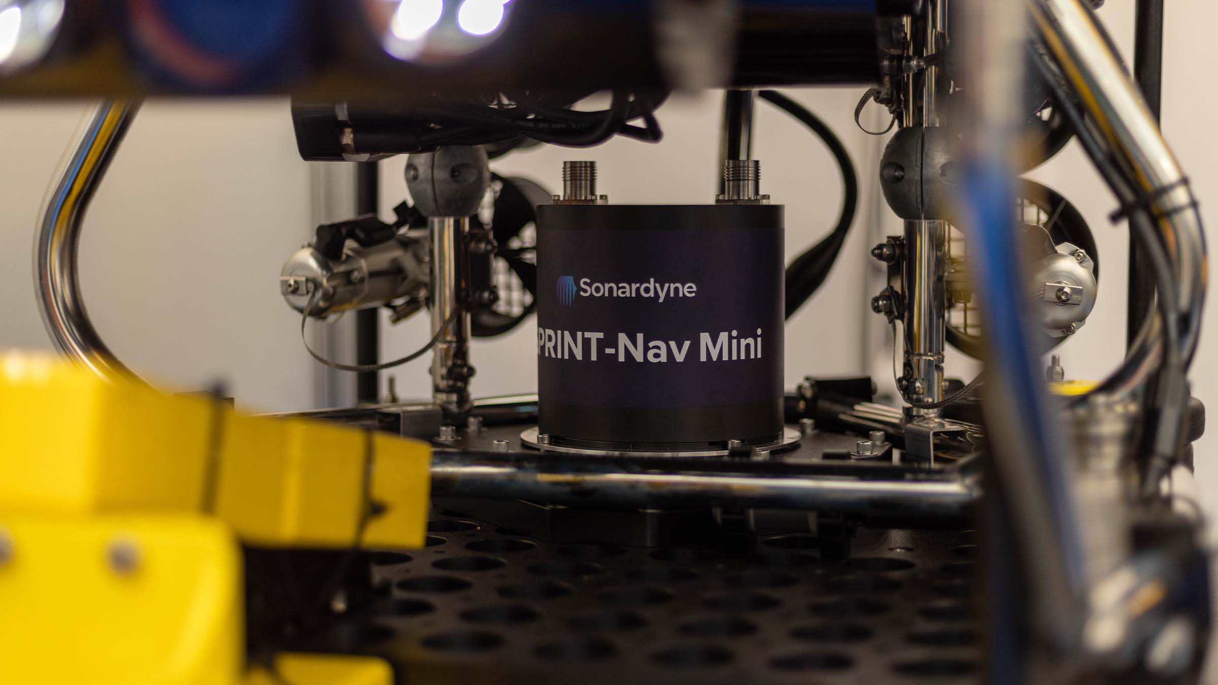
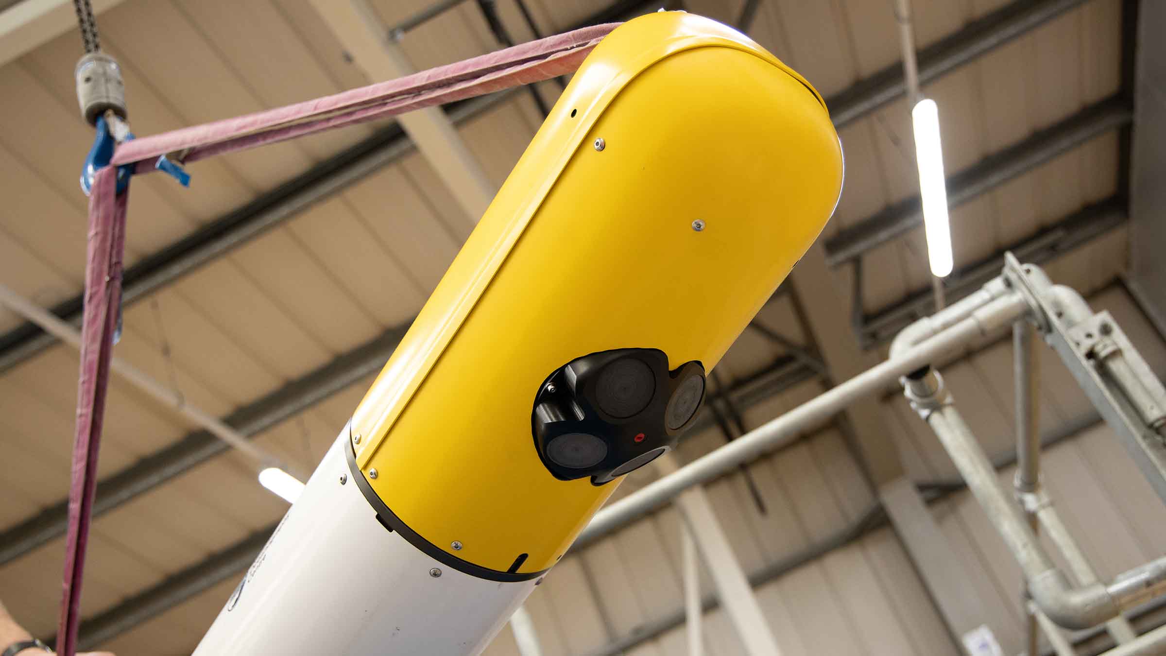
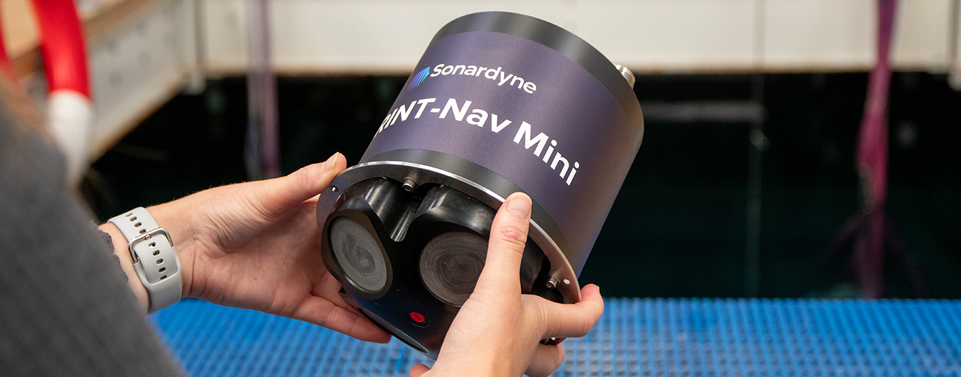
Measuring just 213 mm in height (only fractionally taller than some competing DVL-only instruments), 148 mm in diameter and weighing in at approximately 3.6 kg in air for the 300 m rated unit – or 7.1 kg for the 4,000 m depth version – for something so small, SPRINT-Nav Mini packs a big punch for all your underwater ocean robot applications.
It’s powered by the same hybrid acoustic-inertial navigation algorithm you’ll find inside our established SPRINT-Nav family. This combines the strengths of all its sensors to provide robust, precise and accurate outputs. It continues to work even in challenging environments providing a continuous stream of positions, orientation, velocities, depth and altitude at up to 200 updates per second.
Ready to go
Your SPRINT-Nav Mini arrives pre-calibrated, meaning there is no need to manoeuvre your vehicle every time the unit is mobilised. SPRINT-Nav Mini does the thinking for you, all in a single plug-and-play unit. Turn it on, give it a latitude, and away you go.
Despite its extremely small size, it’s still a true north seeking gyrocompass which won’t drift over time unlike MEMS-based systems. The output can be fed directly to your own (or a third party) user interface or vehicle control software. The simple web user interface makes setup and configuration painless. It could not be any simpler.
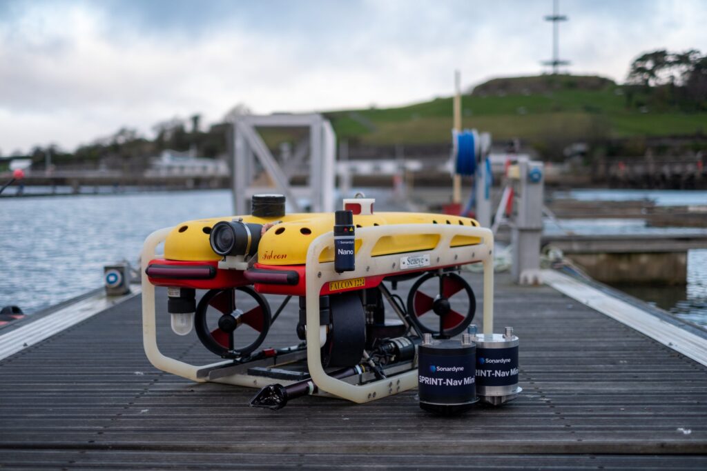
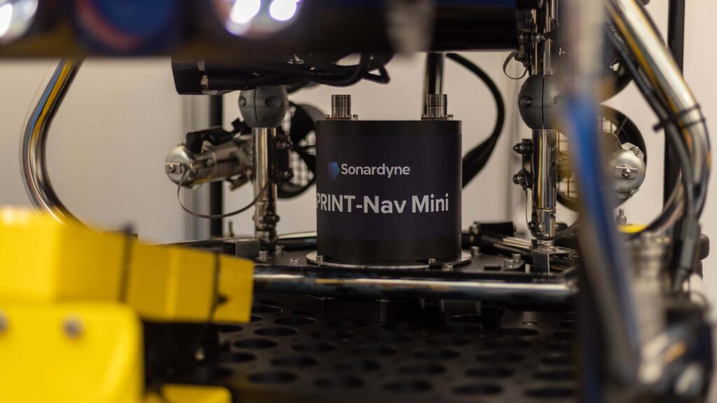
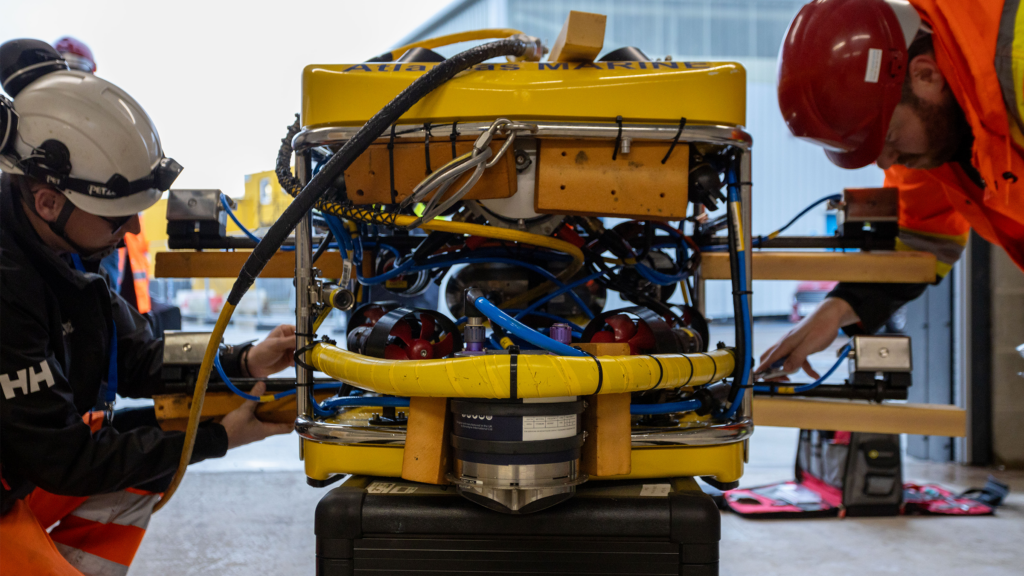
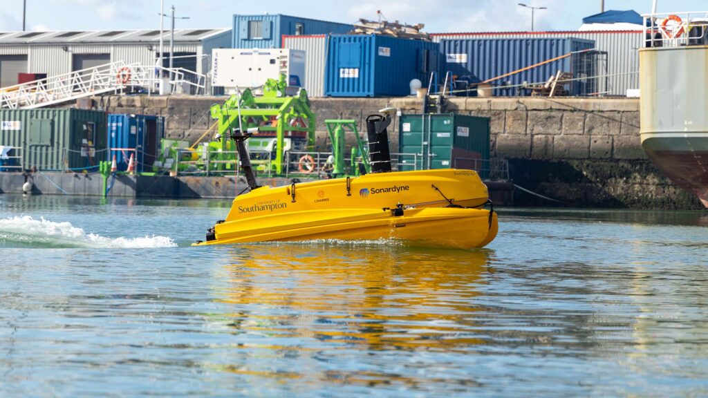
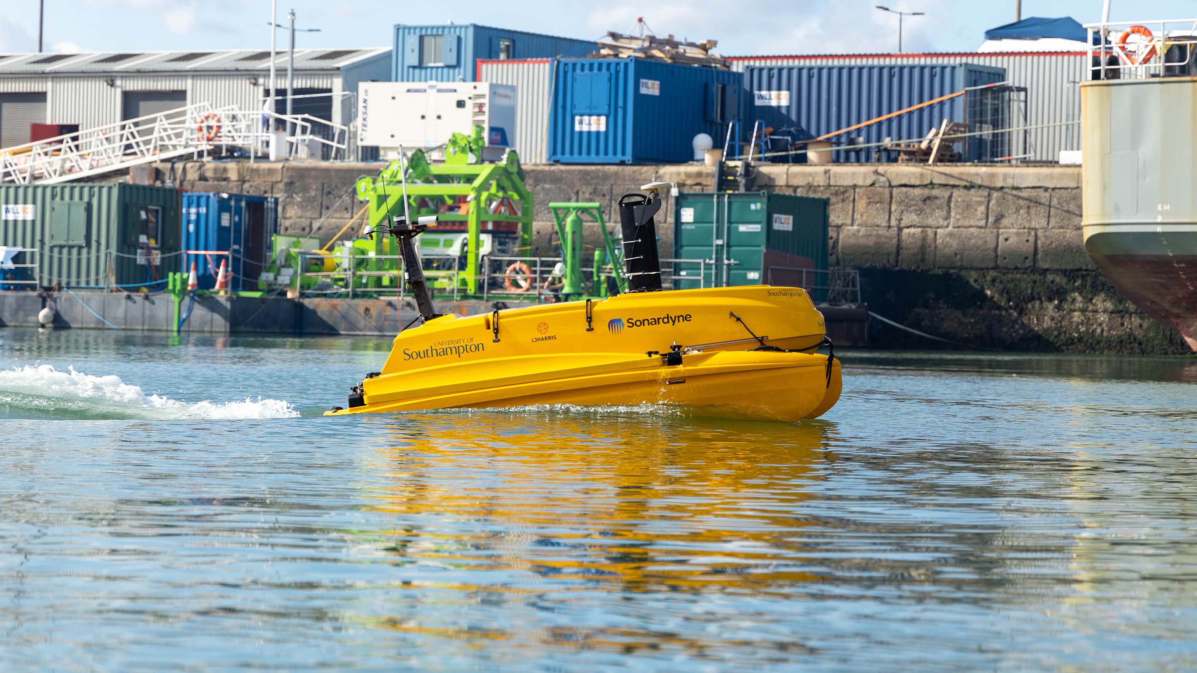
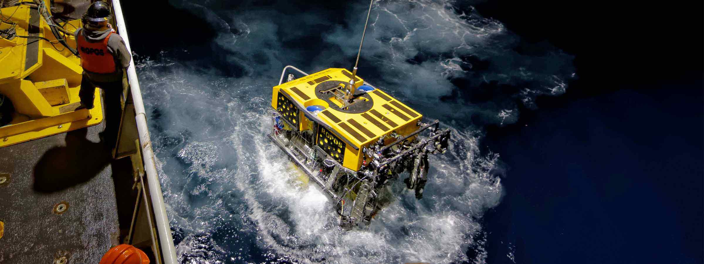
Need to harvest data from coastal waters or around offshore structures? Not a problem! Low power and small, SPRINT-Nav Mini is ideal for installing on all size ROVs or USVs undertaking data harvesting missions, even in GNSS-denied environments.
Conducting marine research on a restricted budget? Let us help… Because it’s lower cost than the four separate sensors it replaces, SPRINT-Nav Mini is the budget-friendly solution for your research platforms where funds need to stretch as far as possible.
Available in two depth ratings, 300 m and 4,000 m. A side-connector option is also available, depth rated for 300 m and only 183 mm high, making it ideal for tight spaces on small platforms.
SPRINT-Nav Mini at a glance
- 213 mm tall by 148 mm in diameter; the industry’s smallest all-in-one hybrid acoustic-inertial subsea navigator
- Hybrid DVL-INS synergies dramatically improve both robustness and performance compared with standalone instruments.
- Fly higher – 500 kHz DVL maintains bottom lock at up to 200 m altitude
- Replaces four separate instruments; AHRS, DVL, INS and pressure sensor – saving you cost, cabling and payload
- Easy to integrate, simple to operate, web UI for configuration
Discover more about SPRINT-Nav Mini
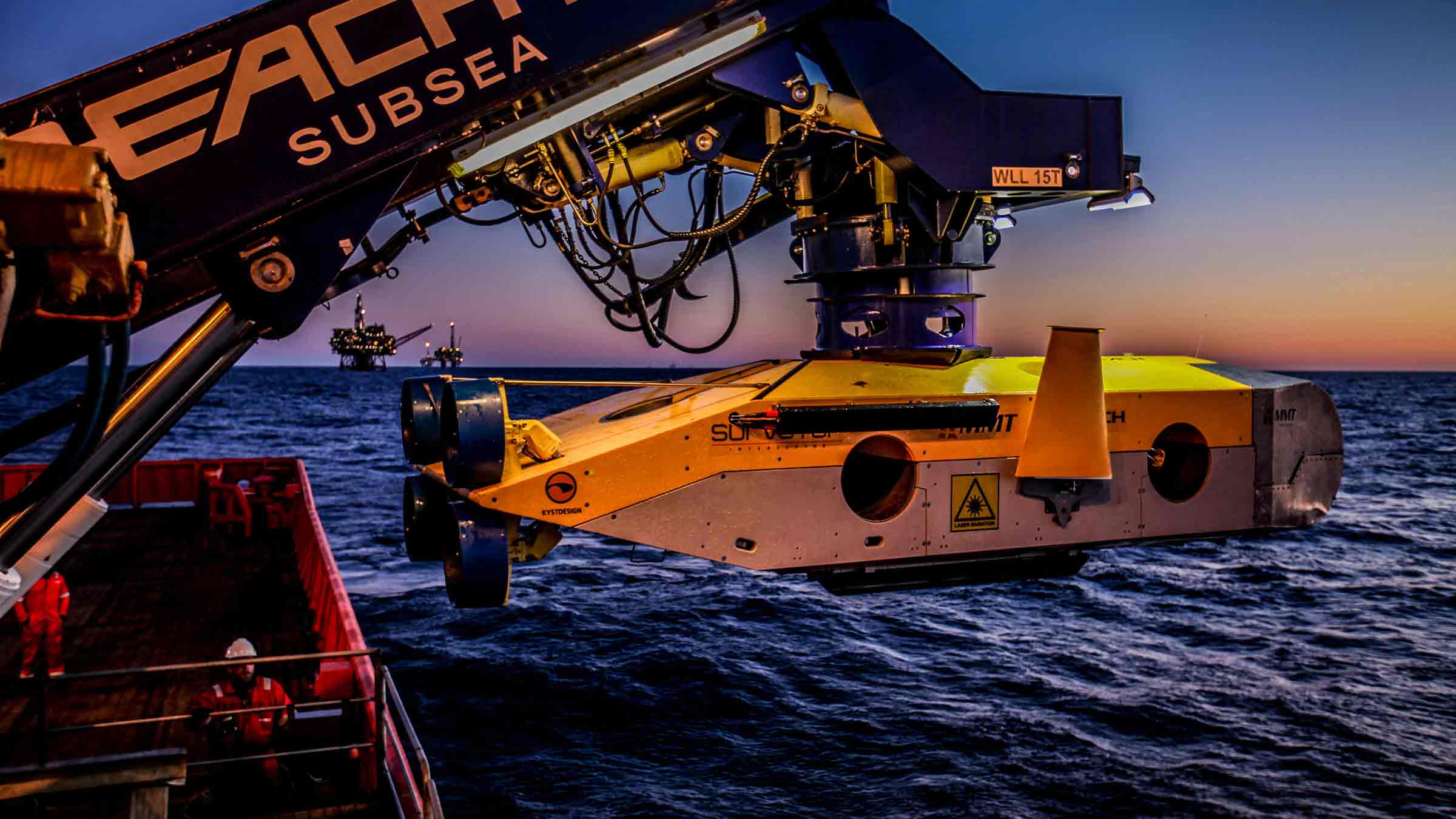
Straight out of the box navigational enhancement for offshore out of straightness surveys
Read moreDelivering subsea synergy in ORE inspections
Read moreMapping the future for seagrass beds in Plymouth Sound
Read moreOwnership
• What’s in the box: SPRINT-Nav Mini, mounting plate, test lead and cable tail
• Warranty: 1 year return to Sonardyne service centre
• ITAR Controlled: No
• UK Export License: TBC
Performance
• 300 m and 4,000 m depth rated options
• Provides 0.05% error for distance travelled
• Heading accuracy 0.5° secant latitude (0.1° Navigator variant)
• 0.02° Pitch/Roll accuracy
• 0.3/200 m min/max altitude
• 0.01% FS depth
• Up to 200 Hz output rate
• Better than 0.4 cm/s velocity precision (<2 m/s at 50 m altitude)
General
• Ideally suited for subsea vehicle guidance, control and navigation
• Size, weight and power optimised; perfect for all size vehicles
• Powered by our class-leading SPRINT hybrid navigation engine
• Cheaper than the four separate sensors it replaces
• Gyrocompass simplicity with hybrid acoustic-inertial navigation performance
Design
• 213 x 148 mm, 3.6 kg weight in air (300 m version), 7.1 kg (4000 m version)
• Acetal Copolymer (300 m) or Titanium (4000 m) housing construction
• Mounting plate, choice of top or bottom mounting location
• 14 pin and 7 pin Size A CRE connectors. Custom connectors on request
• Side-connector option
• User friendly web UI makes it easy to integrate and simple to operate
Specifications
Feature | SPRINT-Nav Mini | |
---|---|---|
DVL Aided | Typical Survey | 0.05% |
Distance from Origin | 0.30% | |
Altitude Min/Max | 0.3/200 m | |
USBL & DVL Aided | Precision Improvement | Up to 5x better |
Heading (Secant Latitude) with GNSS or USBL, and DVL | 0.10° | |
Heading (Secant Latitude) with GNSS or USBL or DVL | 0.15° | |
Roll and Pitch | 0.02° | |
Angular Rate Range | ±450°/s | |
Velocity Precision (<2 m/s at 50 m Altitude) | <0.4 cm/s | |
Depth accuracy | 0.01% FS | |
ADCP | Profiling range | 0.4–100 m |
Velocity Range & RMS (along beam) | Up to ±6.7 m/s ±0.4% of measured value | |
Maximum number of Cells | 255 | |
Max Ping rate | 1 Hz | |
Power Requirements | 24 V dc, 10 W | |
Data Storage | 32 GB internal memory | |
Serial Ports/Protocol | 3x RS232 | |
Other Ports | Ethernet, UDP/TCP, WebUI, 2 x trigger inputs (1PPS/DVL trigger) | |
Mechanical Construction | 300 m | POM-C |
4,000 m | Titanium | |
Dimensions (Diameter x Height) (incl. connectors and mounting ring) |
300 m | 148 x 213 mm |
4,000 m | 148 x 213 mm | |
300 m (side connector) | 148 x 187 mm (174 x 187 including connector) | |
Weight Air/Water | 300 m | 3.6/0.7 kg |
4,000 m | 7.1/4.2 kg | |
Depth Rating | 300/4,000 m | |
Operating Temperature | -5 to 50°C | |
Storage Temperature | -25 to 55°C |